Parking
Start at Johnston Canyon day-use area on the Bow Valley Parkway (Highway 1A). Parking is limited; Roam Route 9 has seasonal service, so check its timetable before relying on the bus.

#4 of 162 trails in Banff
Banff National Park, AB
A 4.8 km canyon walk to the 30 m Upper Falls.
Overview
Map & elevation
Plan your hike

The highest, rockiest slopes around here are a summer buffet for grizzly bears.
Banff Tour Guide
Parkwolf is a GPS audio tour guide for Banff National Park. As you drive, it chimes in with what’s ahead: hidden gems, upcoming stops, history, geology, and wildlife, right through your car’s speakers.
See the Banff audio tourRecorded for this trailhead
Johnston Canyon and the Falls“Johnston Canyon is coming up, where railed catwalks carry you beside the creek through tight limestone walls. I'd choose Lower Falls for a shorter visit: allow about an hour round trip, with some uphill walking.”
Plays as you drive up to this trailhead in the Parkwolf Banff Tour Guide.
More stories near here in the app
“…Loved the commentary as you drove thru. I’m sure the app can do more than I know but the tips were very helpful. I’m gonna use it when we go to Banff next month.”


Trail guide
Johnston Canyon Trail to Upper Falls is a 4.8 km (3 mi) out-and-back from Johnston Canyon day-use area on the Bow Valley Parkway. It follows Johnston Creek through a tight rock canyon, passes Lower Falls, and ends at the 30 m Upper Falls. The full route is 2.4 km each way, with about 120 m of climbing and a two-hour round-trip estimate. It is rated easy and uses built paths, bridges and boardwalk sections rather than rough backcountry tread. This is one of Banff’s strongest short hikes if you want waterfalls and canyon scenery in one outing. Turn around at Upper Falls to retrace the same route; Lower Falls comes too early to represent the full hike.
The trail starts by the day-use area, then gradually trades the open approach for narrower canyon walls and constructed walkways close to the water. Concrete footways, short bridges and metal-railed boardwalks make the creek part of the whole walk. You get repeated views of rushing water through the rocks rather than a single overlook, and the built sections put you close enough to notice how the canyon pinches around the stream. The route itself is straightforward, but the walkways have less room for people going both ways. Pause at the wider spots and let groups pass instead of stopping in the middle of a narrow section. Looking back along the rail is a good way to see how the rock walls close around Johnston Creek.
Lower Falls is the first major stop, about 1.1 km from the trailhead. It is a worthwhile break, but it is also where visitors start to bunch up around the close viewing area. Keep going another 1.3 km to Upper Falls if you want the full hike. At 30 m, it is the bigger finish, with an upper lookout and a lower viewing platform that give you different angles on the drop. Include some of the canyon wall in a wide photo so the scale of the falls comes through. Give the viewpoints time; the payoff is better when you can look around instead of rushing back into the line of people.
The marked route to Lower Falls is about 1.1 km each way, or roughly 2.2 km round trip, and takes about an hour. It follows the same opening stretch and still brings you into the canyon and to a waterfall. Choose that version if you are short on time or want a compact outing. Continue to Upper Falls for the larger 30 m drop and a longer walk beside the creek; the Upper Falls row describes that full return, not just the lower waterfall.
Wildlife
 123 sightingsGrizzly BearMost seen around 6 AMSighting map
 150 sightingsBrown BearMost seen around 6 PMSighting map
 44 sightingsGray WolfMost seen around 6 AMSighting map
 12 sightingsRiver OtterMost seen around 8 PMSighting map
 69 sightingsMooseMost seen around 8 PMSighting map
 466 sightingsBlack BearMost seen around 9 PMSighting map
Sighting maps show where each species has been reported across Banff. Wildlife moves, so no sighting is guaranteed.
Keep exploring
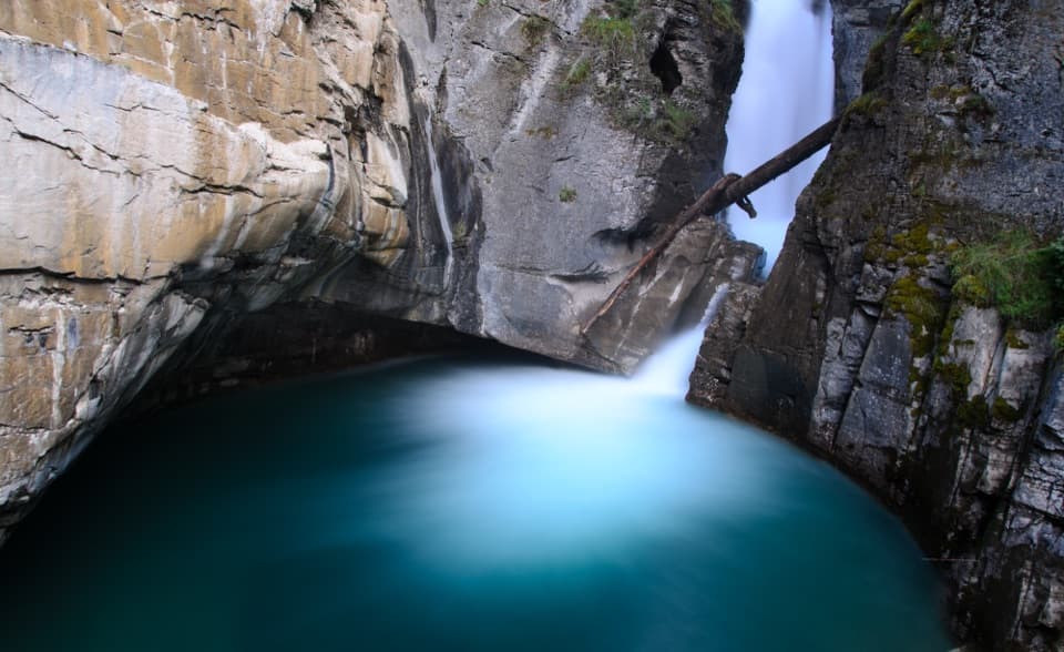 EasyJohnston Canyon Trail to Lower Falls2.2 km · 1 hr · At the trailheadPaved canyon catwalks lead to a close view of Lower Falls.
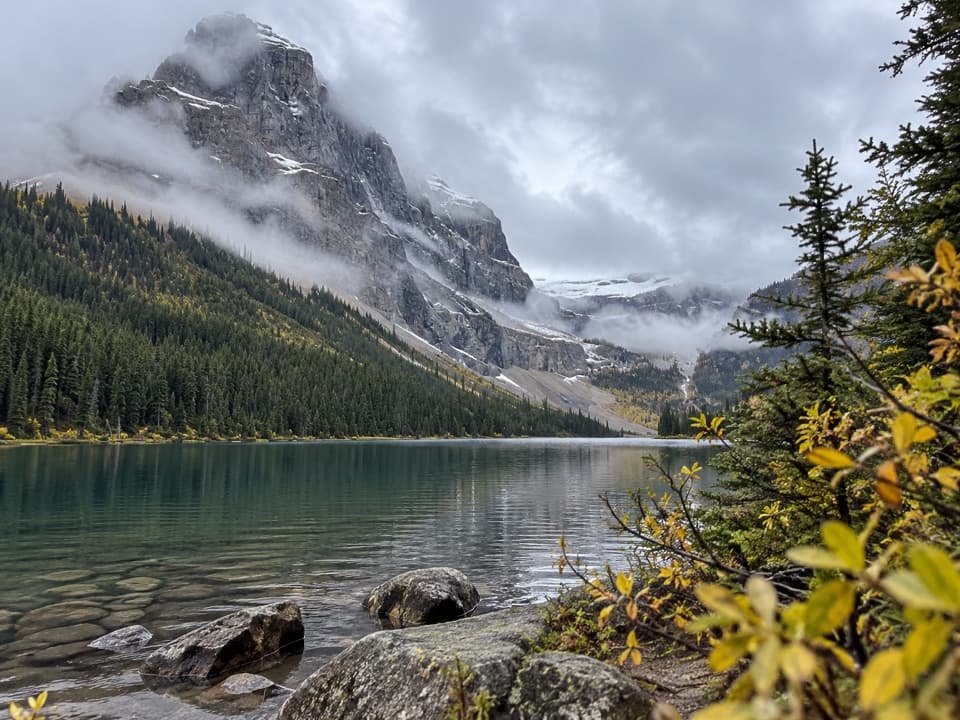 ChallengingLuellen Lake Trail34.2 km · 12 hr · 1.6 km awayA long forest and meadow walk ends at a lake beneath cliffs.
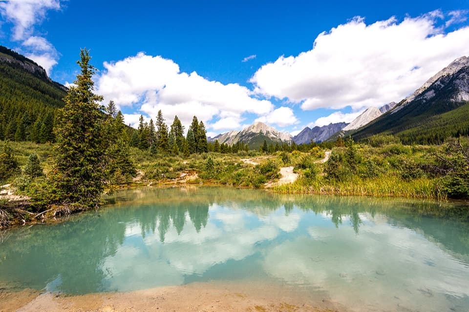 ModerateInk Pots Trail11.4 km · 4.5 hr · 1.6 km awayBlue-green pools in an open meadow after a long forest climb.
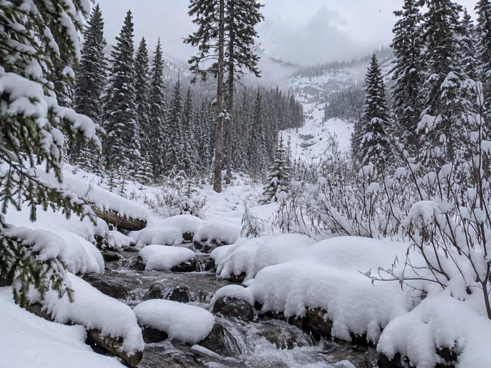 ModerateRedearth Creek Trail20.4 km · 7.5 hr · 3.9 km awayA long forest climb into the Shadow Lake backcountry.
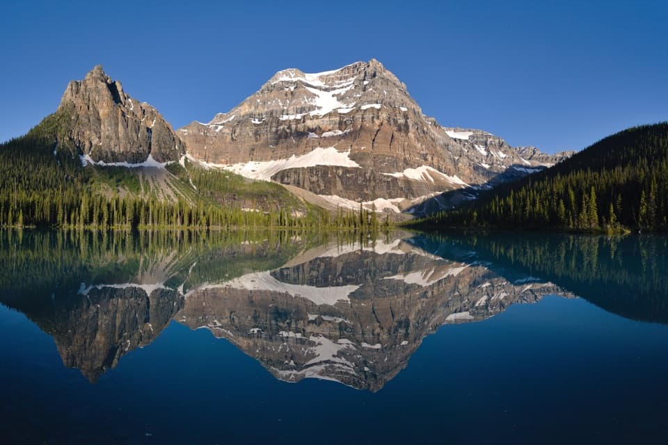 ChallengingShadow Lake Trail28 km · 9.5 hr · 3.9 km awayA long forest approach opens onto Shadow Lake and Mount Ball's reflection.
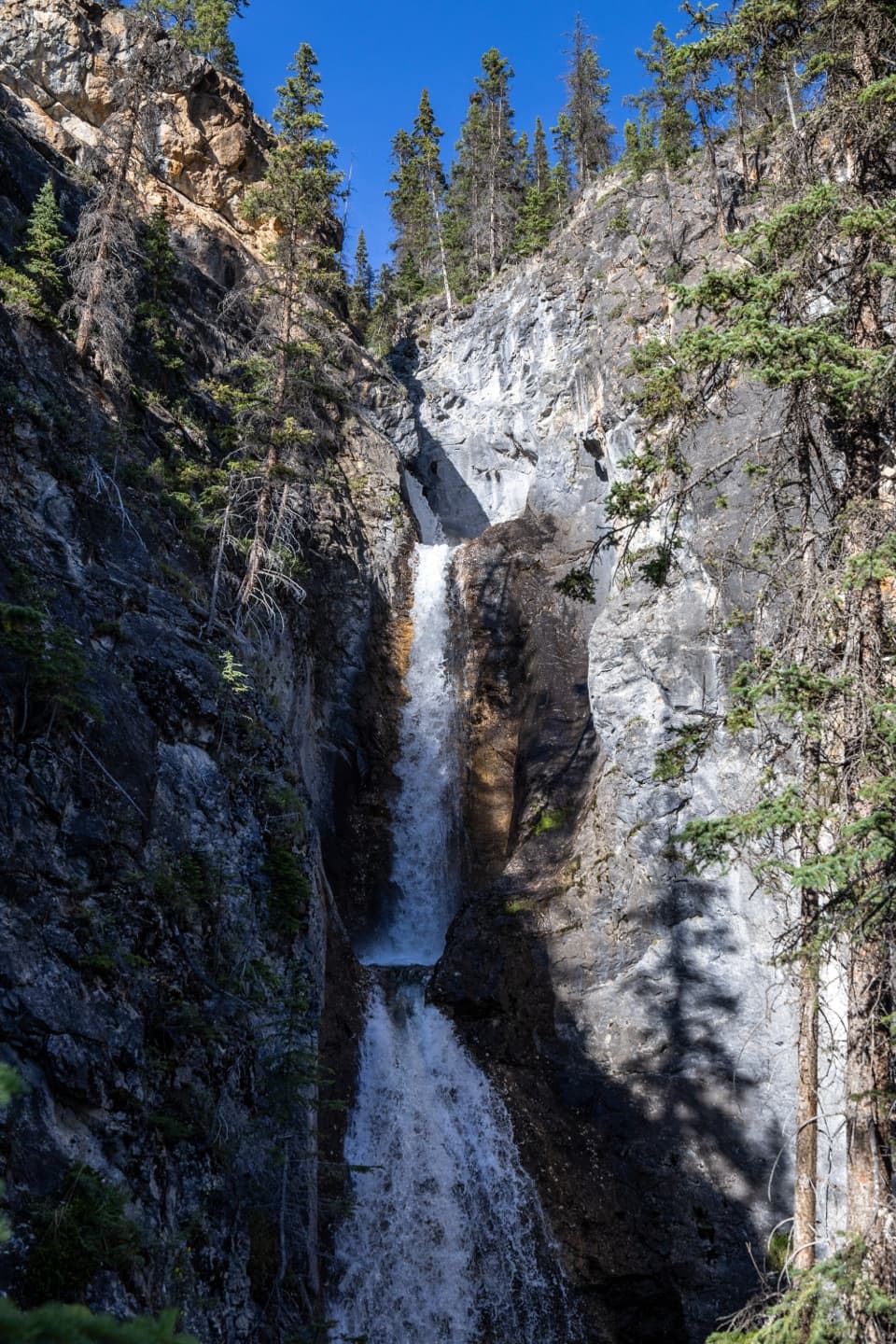 ModerateSilverton Falls Trail1.8 km · 40 min · 5.7 km awayA quick climb to a waterfall tucked into a narrow rock gorge.
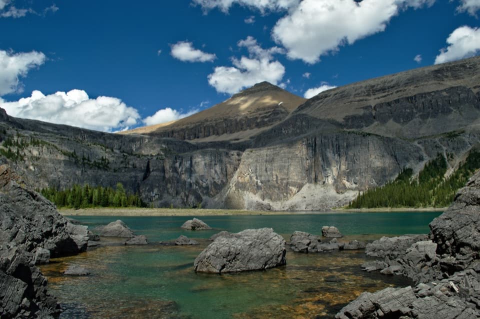 ChallengingRockbound Lake Trail17 km · 6.5 hr · 5.8 km awayTwo lakes and Castle Mountain cliffs reward a long alpine climb.
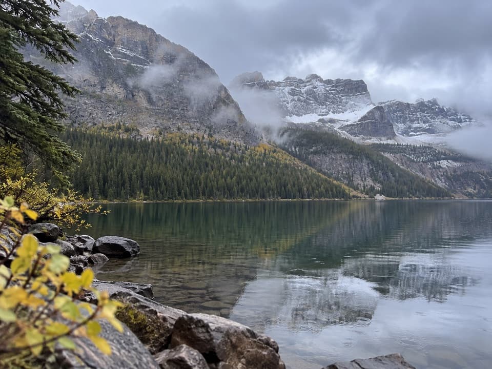 EasyCopper Lake Trail1.4 km · 30 min · 6.5 km awayA short forest path to clear water and a mountain backdrop.
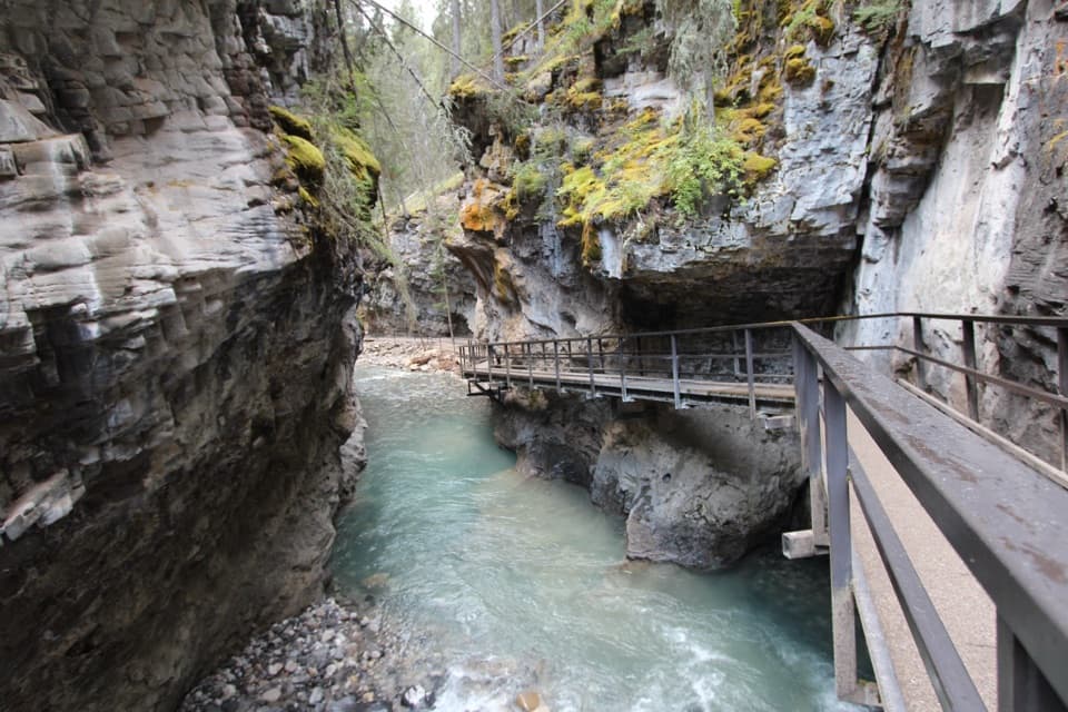 Sight · 0.1 km awayJohnston CanyonRailed catwalks lead to waterfalls in this steep, narrow canyon.
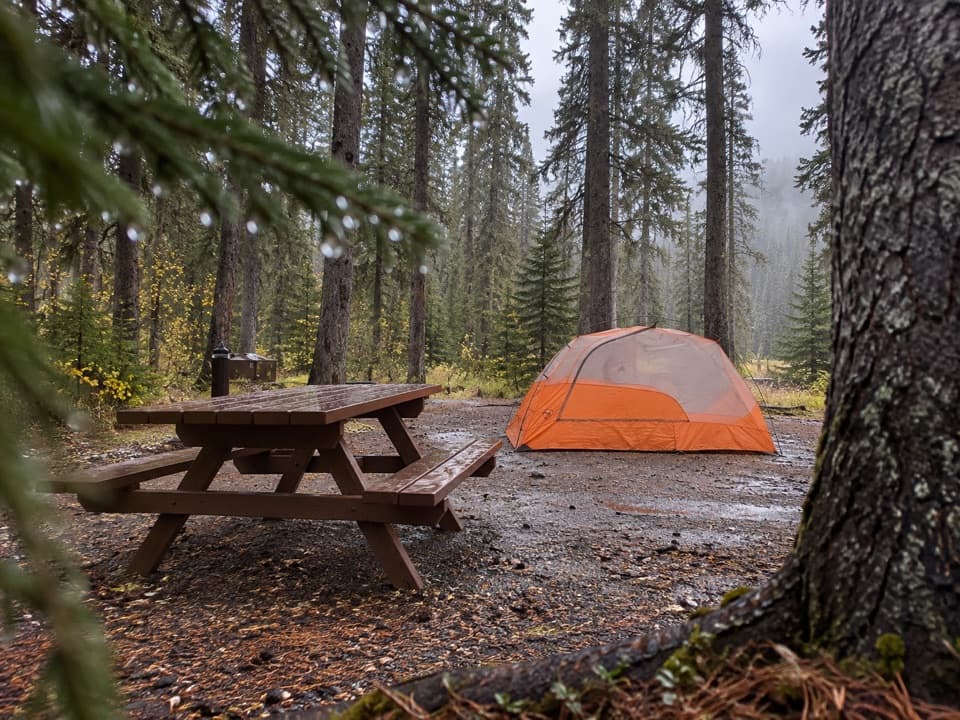 Campground · 0.2 km awayJohnston Canyon CampgroundCamp near Johnston Canyon, with train noise to consider.
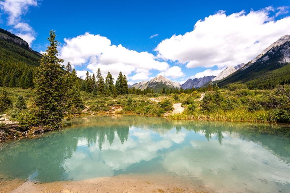 Sight · 3.8 km awayInk PotsCold blue-green springs reward the long walk beyond the waterfalls.
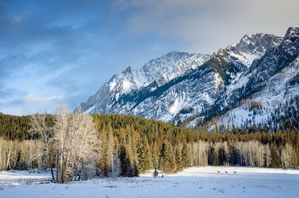 Scenic pullout · 4.8 km awayHillsdale MeadowA quick pullout for summer flowers and a Pilot Mountain view.
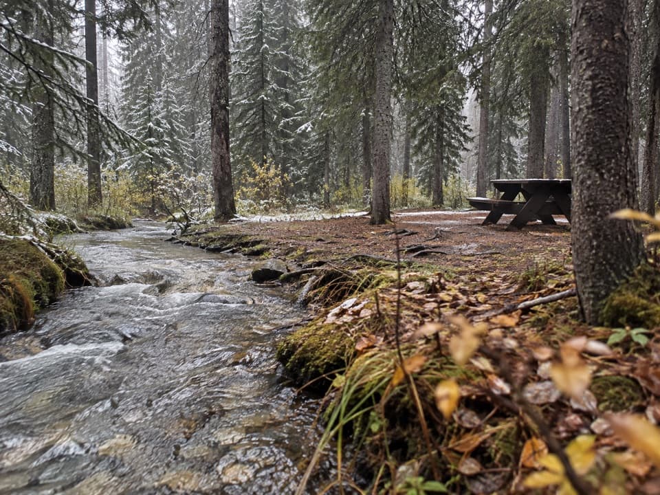 Campground · 5.5 km awayCastle Mountain CampgroundA wooded, no-service base along the Bow Valley Parkway.
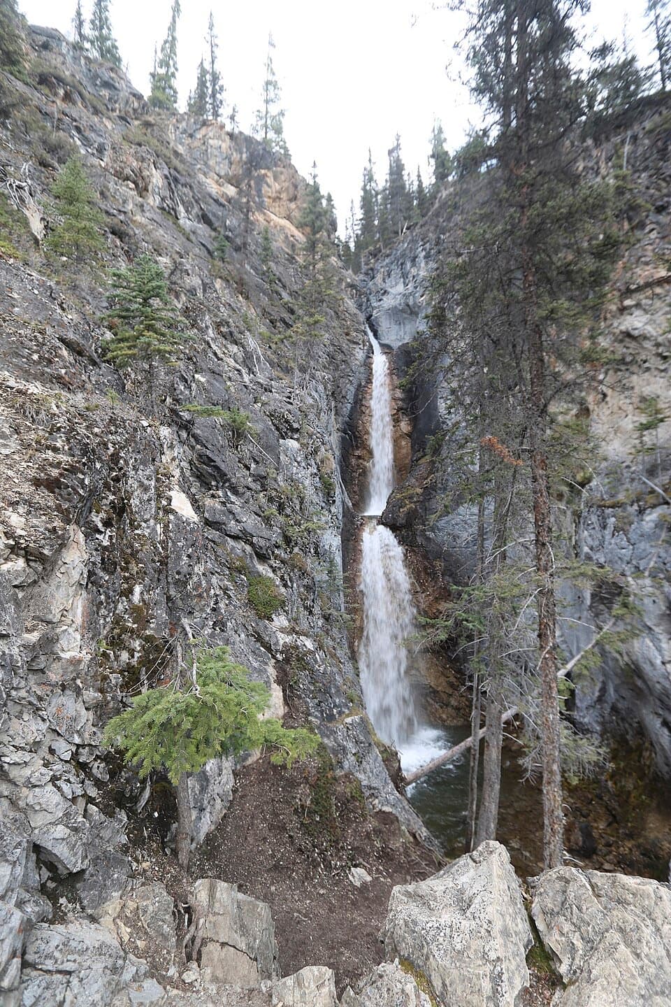 Sight · 5.6 km awaySilverton FallsShort waterfall spur with an exposed, rocky finish.
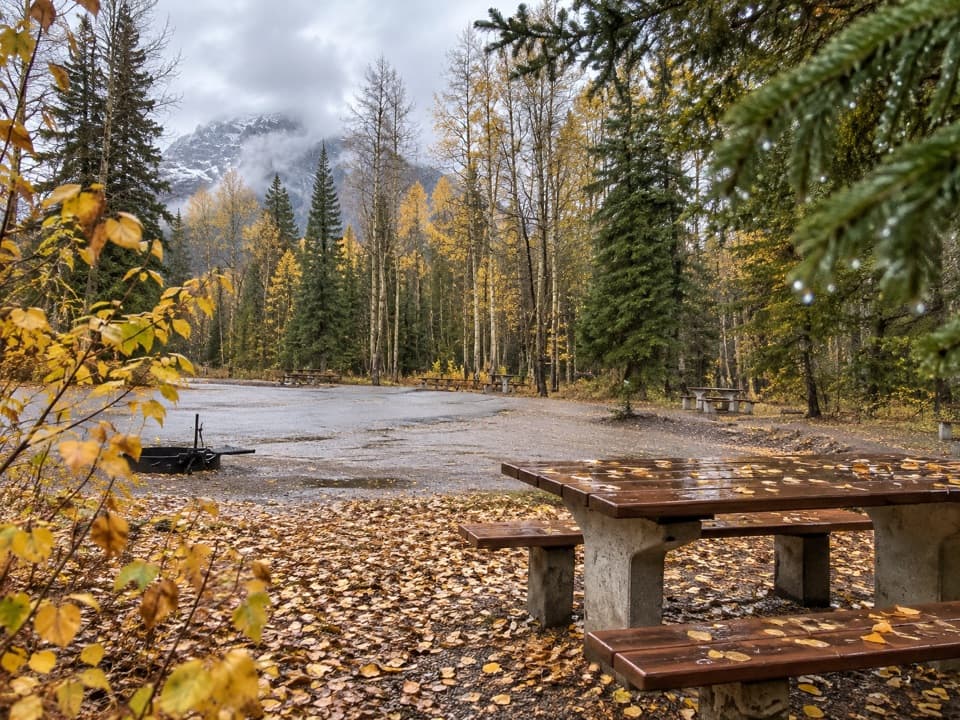 Picnic area · 6 km awaySawback Picnic AreaTables, outhouses and mountain views make a practical Parkway break.
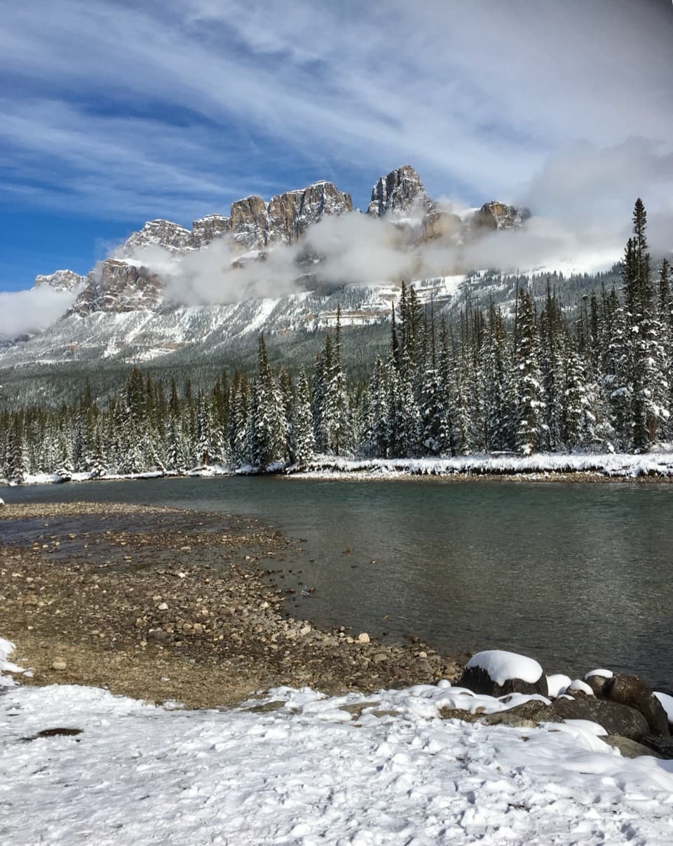 Scenic pullout · 6.4 km awayCastle Junction Bridge ViewpointA quick bridge stop for Bow River and Castle Mountain views.
Parkwolf’s Banff ranking

The audio tour guide for the drive, plus offline maps, trails, and wildlife heatmaps for when the signal drops.