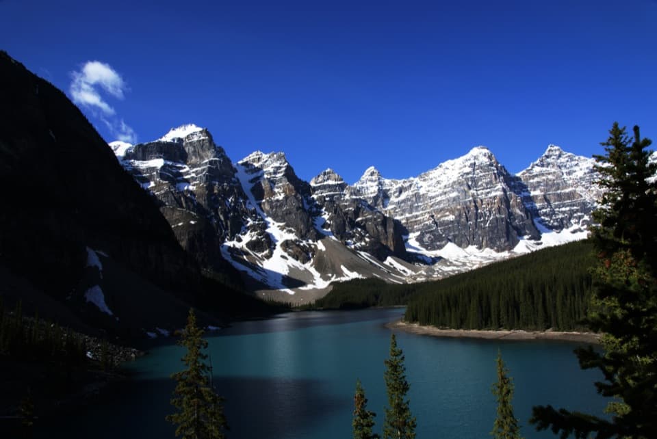
Parking
Start at the Lake Louise Lakeshore parking lot. Spaces are limited and parking is paid during the May–October season. Transit and seasonal shuttles serve the lakeshore; check current reservations, fees and parking availability before you go.

#3 of 162 trails in Banff
Banff National Park, AB
Three alpine lakes and a historic tea house beneath sharp peaks.
Overview
Lake Agnes Trail is a popular out-and-back from Lake Louise’s lakeshore to Mirror Lake and the Lake Agnes Tea House. Plan for 7.8 km (4.85 miles) round trip from the lakeshore parking area and about 2.5 to 3 hours of hiking, with extra time if you stop at the tea house. Published measurements vary from 3.4 to 3.9 km one way; use 3.9 km for planning. The route climbs steadily through forest to a high alpine lake, with three lakes and increasingly close mountain views as its payoff.
 Parkwolf’s verdictIs this the hike for you?
Map & elevation
Plan your hike

The highest, rockiest slopes around here are a summer buffet for grizzly bears.
Banff Tour Guide
Parkwolf is a GPS audio tour guide for Banff National Park. As you drive, it chimes in with what’s ahead: hidden gems, upcoming stops, history, geology, and wildlife, right through your car’s speakers.
See the Banff audio tourRecorded for this trailhead
Lake Louise and the Lakeshore“You're coming up on Lake Louise, where the public shore looks straight toward Victoria Glacier between the mountains. You don't need a big hike for that view.”
Plays as you drive up to this trailhead in the Parkwolf Banff Tour Guide.
More stories near here in the app
“…Loved the commentary as you drove thru. I’m sure the app can do more than I know but the tips were very helpful. I’m gonna use it when we go to Banff next month.”


Trail guide
Start along the Lake Louise lakeshore path, then leave it for the forested trail. The climb comes in sustained switchbacks rather than one short pitch. Gaps in the trees bring views back toward Lake Louise, but most of the ascent is shaded. The full route gains about 385 m (1,260 ft). Expect natural, sometimes rocky footing and take your time on the uphill sections.
Mirror Lake is the first main pause, tucked below the steep face of the Big Beehive. Continue toward Lake Agnes for the core hike; the Beehive and Highline trails are optional extensions and are not included in this distance or route. Near Lake Agnes, the approach passes the outlet waterfall and climbs two steep wooden stair sections. They can be slick when wet or icy, so keep a hand free and watch your footing.
The forest opens onto Lake Agnes beneath Mount Whyte and Mount Niblock. The seasonal tea house sits at the water’s edge and serves loose-leaf tea, baked goods, soup and sandwiches. It began as a hikers’ refuge built in 1901 and started serving tea in 1905. The original building was replaced in 1981, though its windows, tables and chairs remain. Check whether it is open before counting on food, and bring your own drinking water.
From shore, look across the lake toward the rugged cirque; a low view that includes the waterline or shoreline wood gives the peaks a sense of scale.
Wildlife
 123 sightingsGrizzly BearMost seen around 6 AMSighting map
 150 sightingsBrown BearMost seen around 6 PMSighting map
 44 sightingsGray WolfMost seen around 6 AMSighting map
 12 sightingsRiver OtterMost seen around 8 PMSighting map
 69 sightingsMooseMost seen around 8 PMSighting map
 466 sightingsBlack BearMost seen around 9 PMSighting map
Sighting maps show where each species has been reported across Banff. Wildlife moves, so no sighting is guaranteed.
Keep exploring
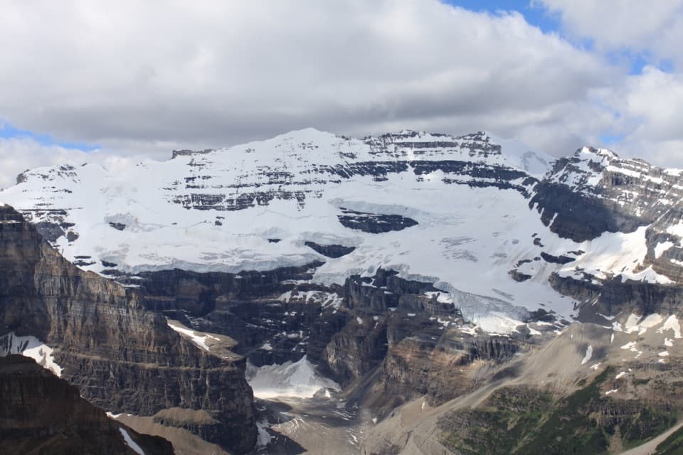 ChallengingFairview Mountain Trail10 km · 5.5 hr · At the trailheadA steep larch climb to an exposed summit above Lake Louise
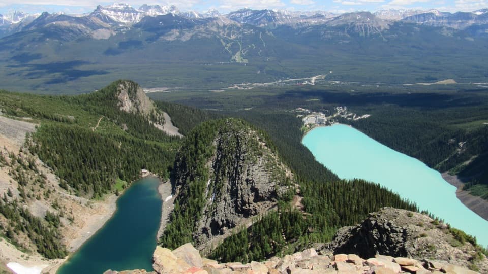 ChallengingDevil’s Thumb Trail12.1 km · 6.5 hr · 0.1 km awayTwo lakes, one rocky summit, and a steep, unmarked finish.
 ModeratePlain of Six Glaciers Trail11.6 km · 4 hr · 0.2 km awayA lakeshore start leads to a tea house beneath glacier cliffs.
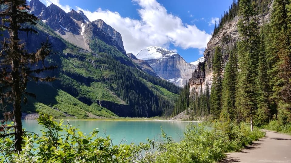 EasyLake Louise Lakeshore Trail4.6 km · 1.5 hr · 0.2 km awayWalk the open shore to the milky creek at the far end.
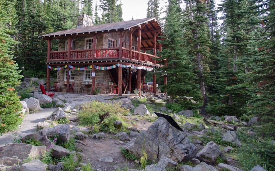 ChallengingLake Louise Tea House Circuit14.3 km · 5 hr · 0.2 km awayTwo tea houses, a Highline traverse, and a Lake Louise circuit
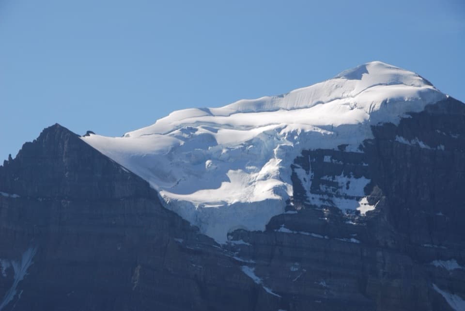 ModerateSaddleback Pass Trail7.2 km · 3.5 hr · 0.2 km awayA steep 4.5-mile return climb to a high saddle above Lake Louise
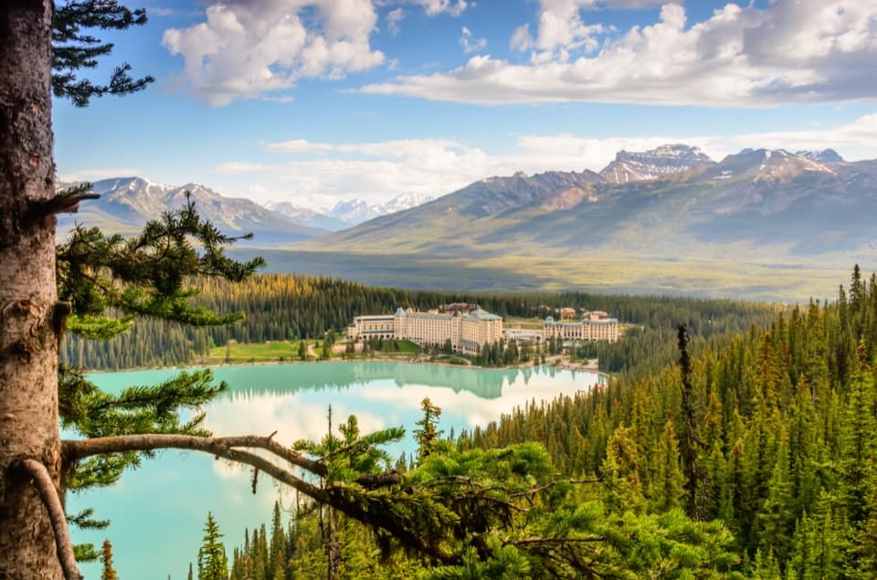 EasyFairview Lookout Trail2.4 km · 45 min · 0.3 km awayA short climb to Lake Louise and the Chateau from above.
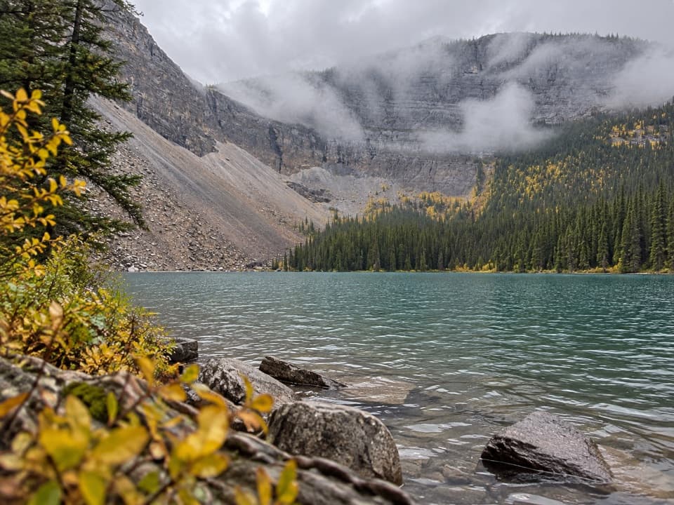 ModerateRoss Lake Trail14.2 km · 5 hr · 0.4 km awayA long forest walk to a lake ringed by steep rock walls.
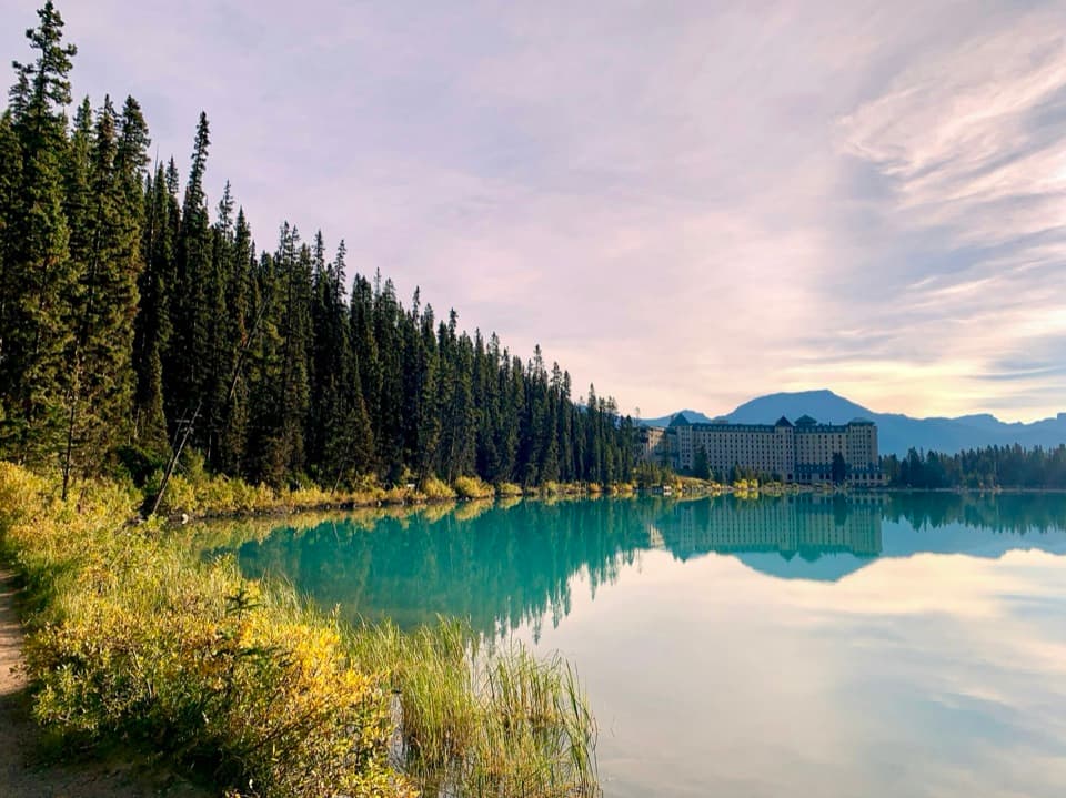 Lodging · 0.2 km awayFairmont Chateau Lake LouiseSleep beside Lake Louise, with a glacier-facing path at the door.
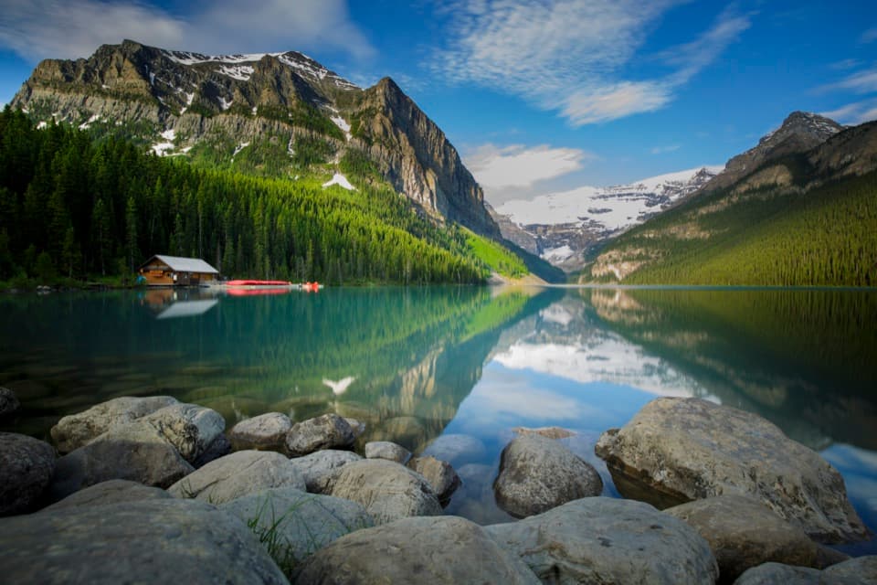 Sight · 0.3 km awayLake LouiseGo early for turquoise water beneath Victoria Glacier.
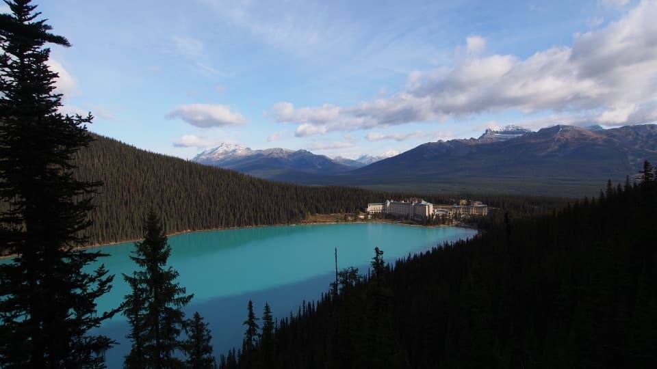 Sight · 0.9 km awayFairview LookoutA steep climb pays off with Lake Louise and the Chateau
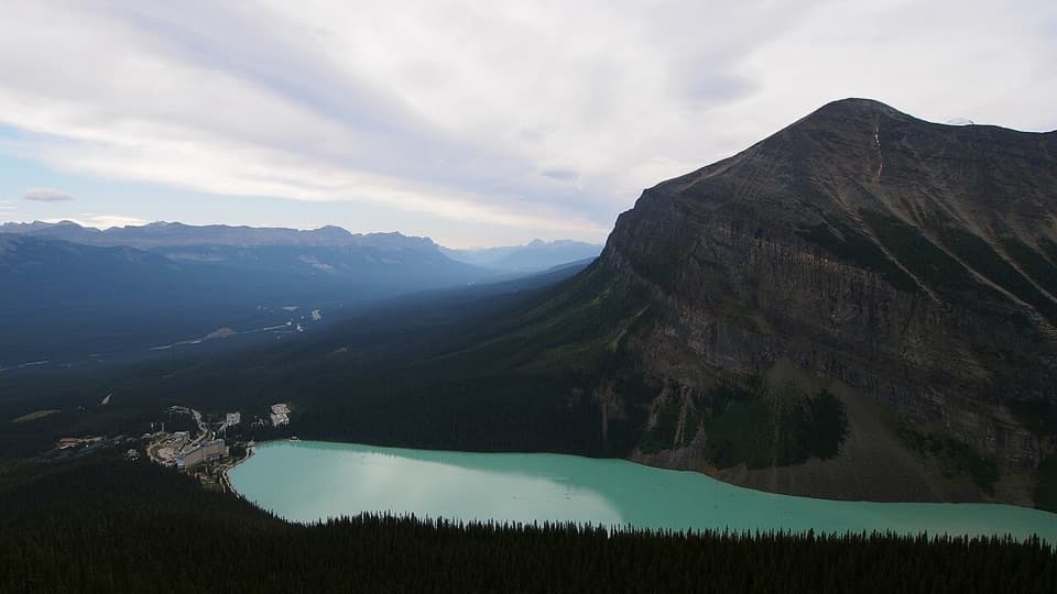 Sight · 1.7 km awayLittle Beehive ViewpointOne more climb above Lake Agnes opens a wider Lake Louise view.
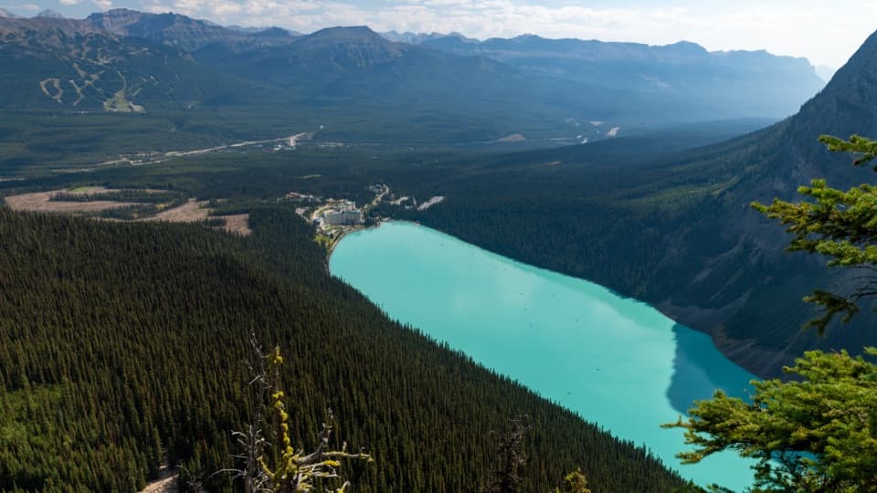 Sight · 2.1 km awayBig Beehive ViewpointKeep climbing past Lake Agnes for the top-down Lake Louise view.
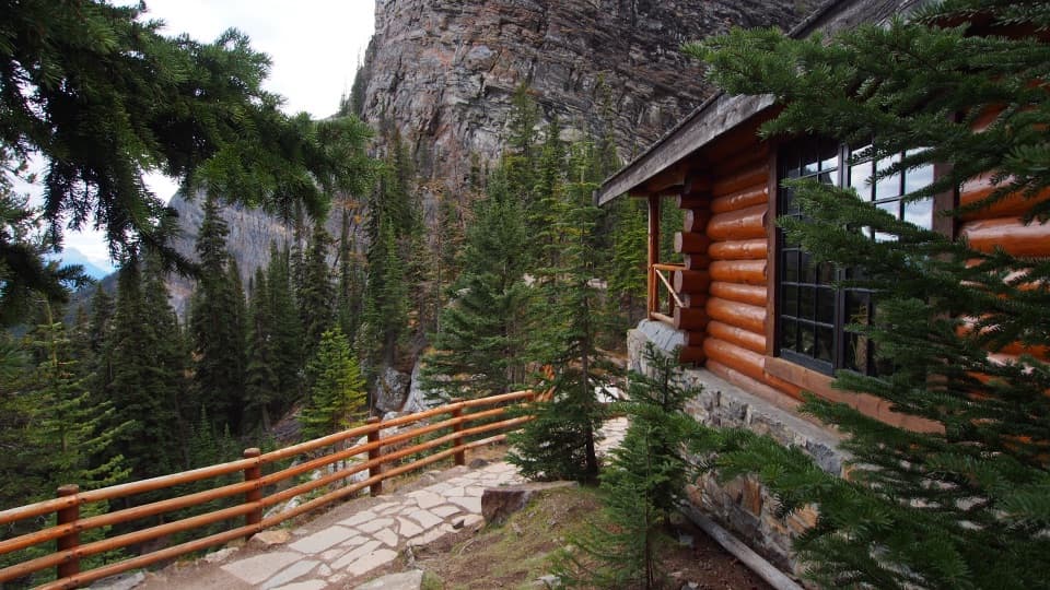 Restaurant · 2.1 km awayLake Agnes Tea HouseA lakefront tea house at the end of a 3.9 km climb.
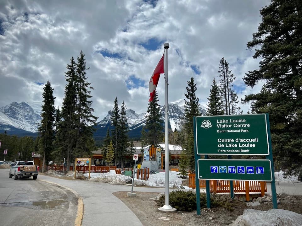 Visitor center · 2.6 km awayLake Louise Visitor CentreGet local advice and shuttle options before heading to the lake.
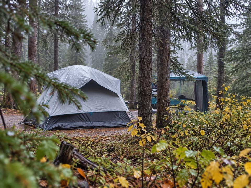 Campground · 2.8 km awayLake Louise Soft-sided CampgroundA fenced, unserviced tent base for Lake Louise outings.
Parkwolf’s Banff ranking
The audio tour guide for the drive, plus offline maps, trails, and wildlife heatmaps for when the signal drops.