Parking
The trail access is behind Fairmont Chateau Lake Louise. Use designated Lake Louise parking and walk to the Chateau-side start; roadside parking is prohibited.
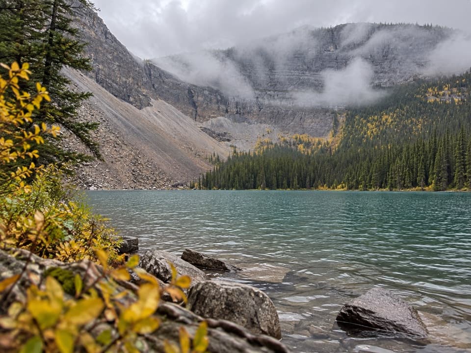
Banff National Park, AB
A long forest walk to a lake ringed by steep rock walls.
Overview
Map & elevation
Plan your hike

The highest, rockiest slopes around here are a summer buffet for grizzly bears.
Banff Tour Guide
Parkwolf is a GPS audio tour guide for Banff National Park. As you drive, it chimes in with what’s ahead: hidden gems, upcoming stops, history, geology, and wildlife, right through your car’s speakers.
See the Banff audio tourRecorded for this area
Lake Louise and the Lakeshore“You're coming up on Lake Louise, where the public shore looks straight toward Victoria Glacier between the mountains. You don't need a big hike for that view.”
Plays on the road 0.4 km from the trailhead in the Parkwolf Banff Tour Guide.
More stories near here in the app
“…Loved the commentary as you drove thru. I’m sure the app can do more than I know but the tips were very helpful. I’m gonna use it when we go to Banff next month.”


Trail guide
Ross Lake Trail is an 8.8-mile (14.2-km) out-and-back from the access behind Fairmont Chateau Lake Louise to Ross Lake. The mapped corridor is about 4.4 miles (7.1 km) one way; it runs west from Lake Louise into Yoho and ends at a rocky lakeshore below steep, layered cliffs. Allow 4 to 5 hours. The distance is the main commitment, so save energy for the same route back.
The first third is a broader double-track. Farther along, the path narrows into winding singletrack. The route rises and falls through the forest rather than finishing with a summit climb, and the return follows the same corridor.
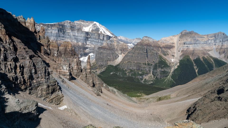
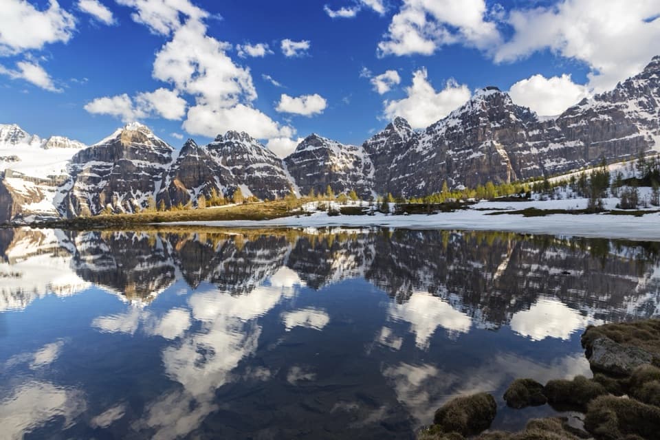
The route ends at the lake edge, with rocky shallows, conifers around the water, and steep cliffs across the basin. That is the payoff for the long approach. For a photo, keep the shallows in the foreground and the cliff walls across the water so the frame shows the shape of the basin.
This entry describes the Chateau-side route. A separate Ross Lake approach begins from Lake O’Hara Road; its shorter distance belongs to that different start. Use designated Lake Louise parking and walk to the trail access behind the Chateau; roadside parking is prohibited. Dogs are allowed on leash and under physical control. Cell service is limited in Yoho, so save an offline route before setting out. If you want lake scenery with a much shorter walk, choose the Lake Louise Lakeshore Trail instead. If you want lake scenery with a much shorter walk, take the Lake Louise Lakeshore Trail instead.
Wildlife
 123 sightingsGrizzly BearMost seen around 6 AMSighting map
 150 sightingsBrown BearMost seen around 6 PMSighting map
 44 sightingsGray WolfMost seen around 6 AMSighting map
 12 sightingsRiver OtterMost seen around 8 PMSighting map
 69 sightingsMooseMost seen around 8 PMSighting map
 466 sightingsBlack BearMost seen around 9 PMSighting map
Sighting maps show where each species has been reported across Banff. Wildlife moves, so no sighting is guaranteed.
Keep exploring
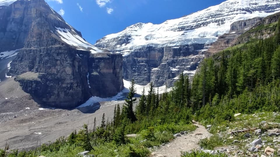 ModeratePlain of Six Glaciers Trail11.6 km · 4 hr · 0.3 km awayA lakeshore start leads to a tea house beneath glacier cliffs.
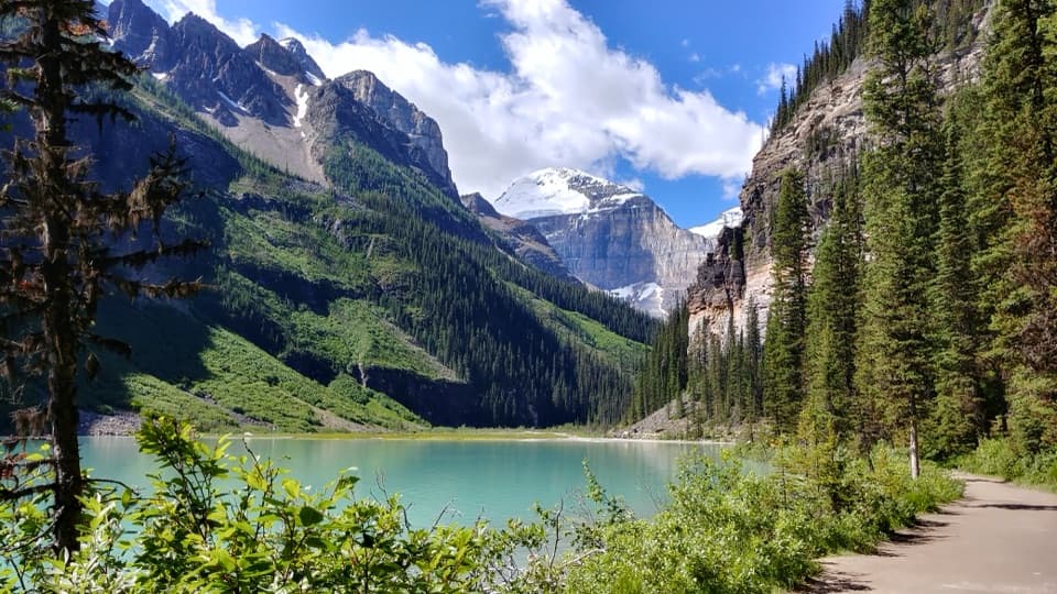 EasyLake Louise Lakeshore Trail4.6 km · 1.5 hr · 0.3 km awayWalk the open shore to the milky creek at the far end.
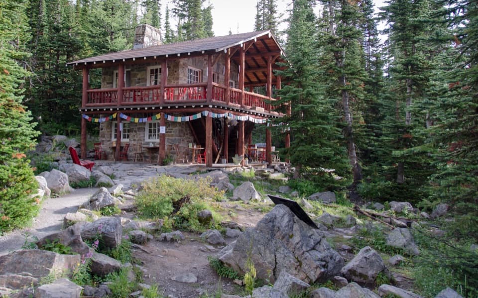 ChallengingLake Louise Tea House Circuit14.3 km · 5 hr · 0.3 km awayTwo tea houses, a Highline traverse, and a Lake Louise circuit
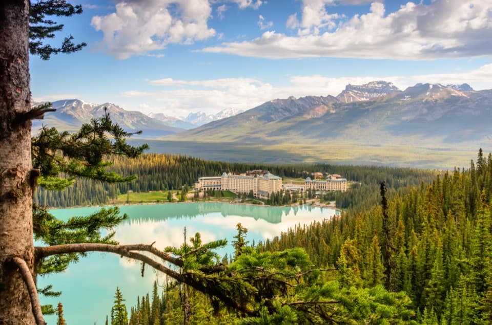 EasyFairview Lookout Trail2.4 km · 45 min · 0.3 km awayA short climb to Lake Louise and the Chateau from above.
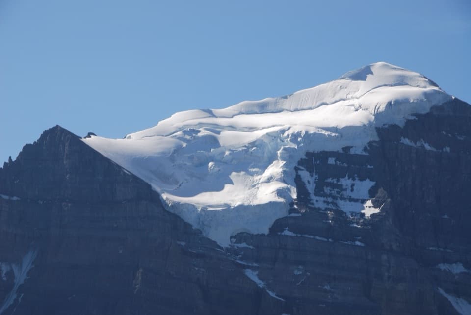 ModerateSaddleback Pass Trail7.2 km · 3.5 hr · 0.3 km awayA steep 4.5-mile return climb to a high saddle above Lake Louise
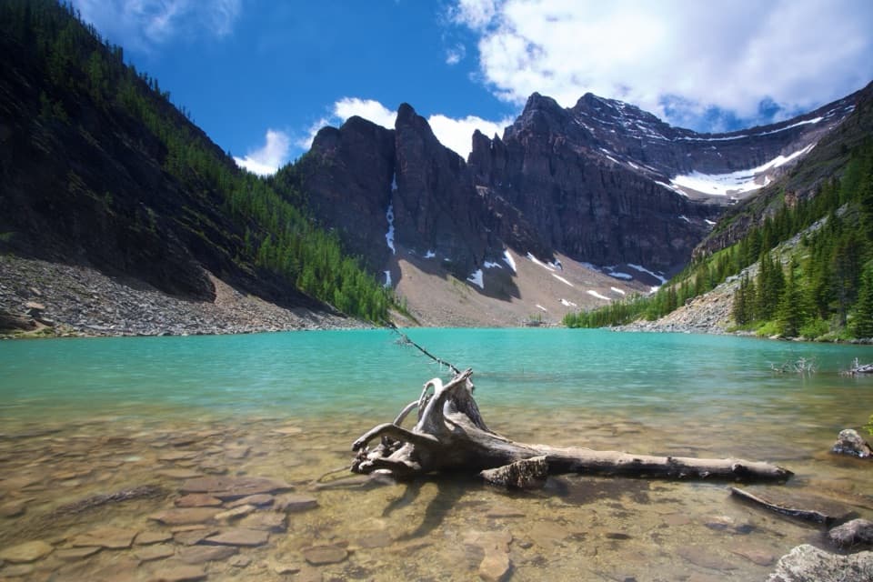 ModerateLake Agnes Trail7.8 km · 3 hr · 0.4 km awayThree alpine lakes and a historic tea house beneath sharp peaks.
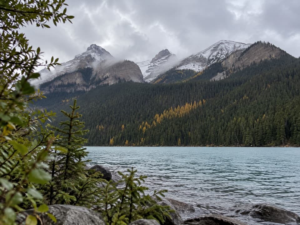 ChallengingMount St. Piran Trail12.2 km · 5.5 hr · 0.4 km awayA steep climb above Lake Louise opens onto three lakes at once.
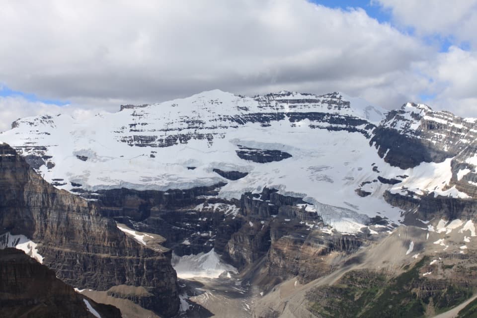 ChallengingFairview Mountain Trail10 km · 5.5 hr · 0.4 km awayA steep larch climb to an exposed summit above Lake Louise
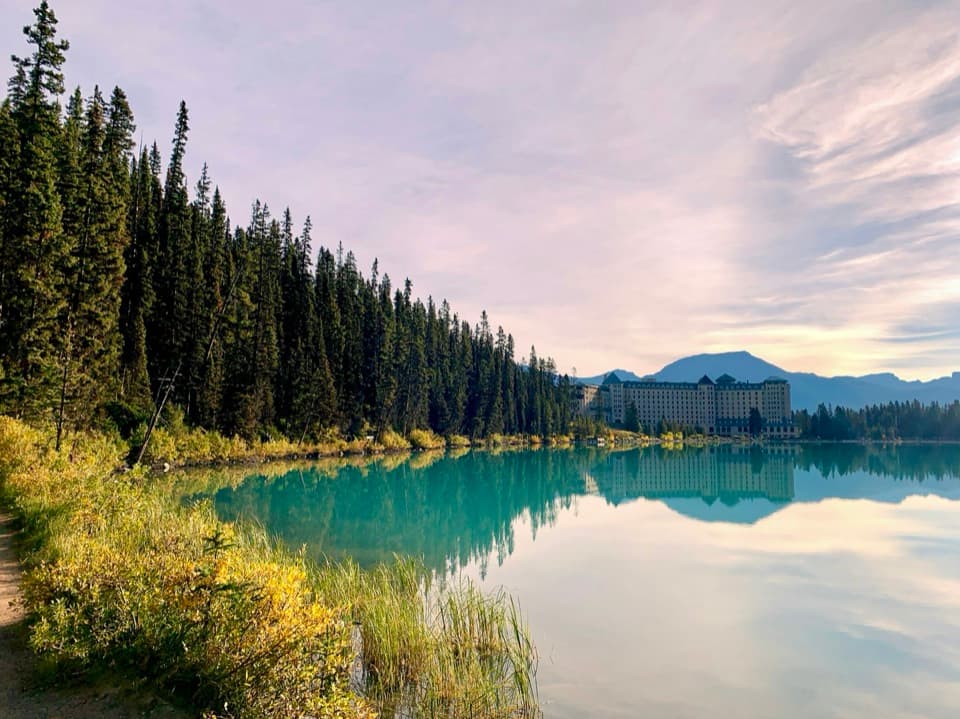 Lodging · 0.2 km awayFairmont Chateau Lake LouiseSleep beside Lake Louise, with a glacier-facing path at the door.
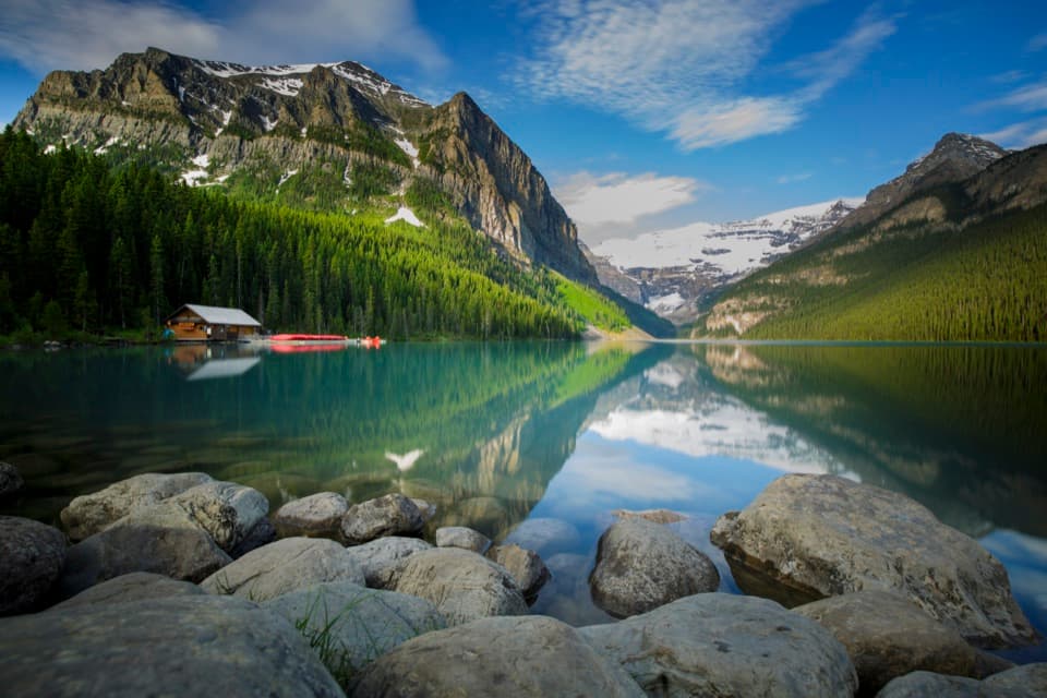 Sight · 0.4 km awayLake LouiseGo early for turquoise water beneath Victoria Glacier.
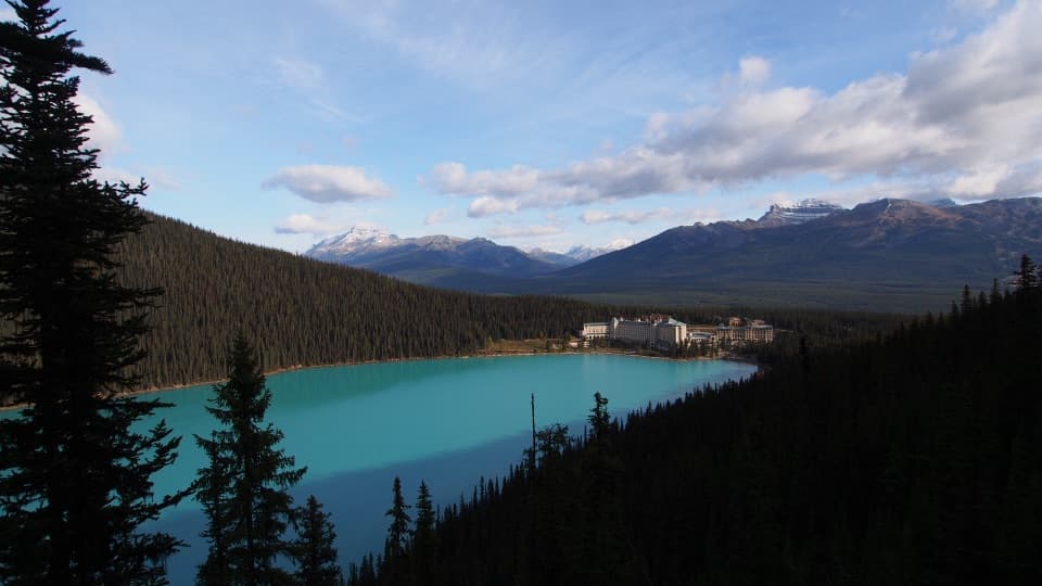 Sight · 1.1 km awayFairview LookoutA steep climb pays off with Lake Louise and the Chateau
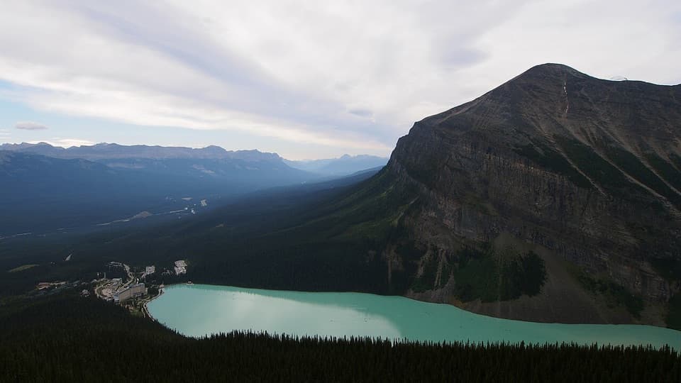 Sight · 1.4 km awayLittle Beehive ViewpointOne more climb above Lake Agnes opens a wider Lake Louise view.
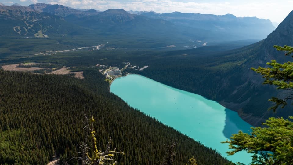 Sight · 1.9 km awayBig Beehive ViewpointKeep climbing past Lake Agnes for the top-down Lake Louise view.
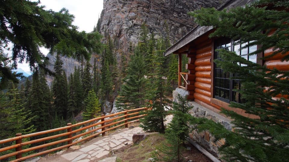 Restaurant · 1.9 km awayLake Agnes Tea HouseA lakefront tea house at the end of a 3.9 km climb.
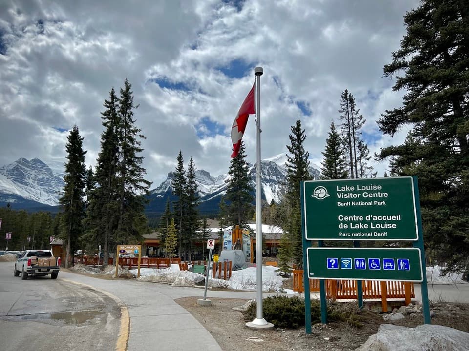 Visitor center · 2.8 km awayLake Louise Visitor CentreGet local advice and shuttle options before heading to the lake.
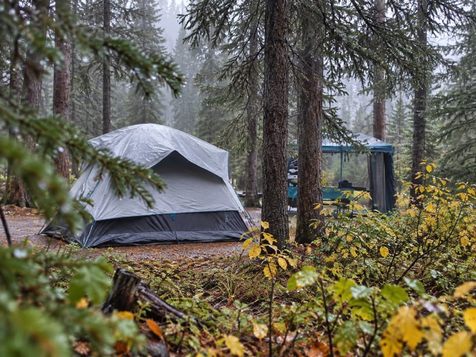 Campground · 3 km awayLake Louise Soft-sided CampgroundA fenced, unserviced tent base for Lake Louise outings.
Parkwolf’s Banff ranking

The audio tour guide for the drive, plus offline maps, trails, and wildlife heatmaps for when the signal drops.