Parking
Use the small trailhead parking spur just beyond Beartooth Lake’s southeastern end, reached via the campground road. Capacity, fees and overflow details were not found.
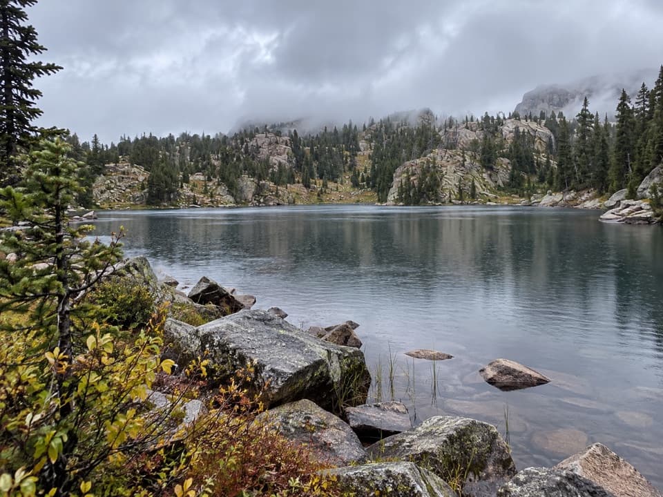
#7 of 82 trails in Beartooth Highway
Beartooth Highway, MT · WY
A high alpine lake reached after meadows and 1,300 feet of climbing.
Overview
Map & elevation
Plan your hike

The highest, rockiest slopes around here are a summer buffet for grizzly bears.
Beartooth Highway Tour Guide
Parkwolf is a GPS audio tour guide for Beartooth Highway. As you drive, it chimes in with what’s ahead: hidden gems, upcoming stops, history, geology, and wildlife, right through your car’s speakers.
See the Beartooth Highway audio tourRecorded for this trailhead
Beartooth Lake“You're coming up on the turnoff for Beartooth Lake, a good place for a picnic or an easy lakeside break. A short gravel spur reaches the boat ramp and day-use shore, with Beartooth Butte rising across the water.”
Plays as you drive up to this trailhead in the Parkwolf Beartooth Highway Tour Guide.
More stories near here in the app
“Fantastic app with many points of information… It’s great to just turn on while you’re driving and it gives you an audio tour of the national Park. We love it!!!!”


Trail guide
Native Lake Trail is a 7.9-mile (12.7-km) round-trip out-and-back from the southeastern end of Beartooth Lake to a high alpine lake in the Beartooth Mountains. The route follows Beartooth Creek Trail #619 north through its valley, then takes the west and northwest branch of Beartooth High Lakes Trail #620. Start near 8,900 feet and plan on about four hours; the high elevation, creek crossings and rolling climb make this a full outing rather than a quick lake stroll.
At about 2.7 miles, #619 reaches the #620 junction. Turn west for Native Lake and return the same way. The east and northeast branch heads toward Horseshoe and Beauty lakes on the separate Beartooth Lakes Loop. That loop starts from the same access but does not reach Native Lake, so make the turn deliberately.
The Native Lake branch keeps climbing in rolling terrain. A hiker reported a false pass before the route rose again; don't assume the first high point is the end. Native Lake sits at roughly 9,800 feet, and the uphill work continues after the junction.
The route starts with the outlet crossing at Beartooth Lake, about 0.1 mile from the trailhead. Early in the season, that crossing may require wading. Beartooth Lake’s shore and nearby meadow can be wet or marshy. After rounding the lake, the path crosses Beartooth Creek near 0.8 mile, then climbs north at moderate grades through meadows with Beartooth Butte to the west. Another creek crossing comes near 2.2 miles, before the junction.
This stretch changes from lakeside footing to open meadow and creek-valley walking. The creek crossings and soggy ground are the main practical friction here; the route is not one uninterrupted steep climb.
Beyond the fork, the trail rolls upward toward Native Lake, with views opening across ridges and the surrounding Beartooth peaks. Native Lake is the payoff at about 9,800 feet. The mapped route follows the northwest trail to the lakeshore and returns on the same corridor; it does not include the longer continuation on #620.
A 2023 account names Clay Butte and Lonesome Mountain among the views, with Pilot and Index Peaks as recognizable landmarks. From the rocky lake shore, include the water and the granite slopes around it in a photo to show the scale of the basin.
One August hike noted old whitebark pines along the route, ripe huckleberries later in the season, and gentian and yellow flowers still blooming after the meadow's peak. Those are observations from one trip, not a promise of what will be flowering on your visit, but they give you something specific to watch for on the climb.
Use the small parking spur just beyond Beartooth Lake's southeastern end, reached by the campground road. Capacity, fees and overflow details were not found. A store is listed near the campground, but its services are not described; no food stop on the trail was identified. Route-specific toilet and drinking-water details, dog rules and permit requirements were not found. Check current Forest Service access information before heading out, especially if you are relying on the campground road.
Wildlife
 42 sightingsGrizzly BearMost seen around 7 AMSighting map
 22 sightingsGray WolfMost seen around 6 AMSighting map
 49 sightingsBisonMost seen around 6 AMSighting map
 122 sightingsMooseMost seen around 6 AMSighting map
 260 sightingsMountain GoatMost seen around 7 AMSighting map
 16 sightingsBighorn SheepMost seen around 7 PMSighting map
Sighting maps show where each species has been reported across Beartooth Highway. Wildlife moves, so no sighting is guaranteed.
Keep exploring
 ModerateBeartooth Lakes Loop7.8 mi · 4 hr · At the trailheadA six-lake loop over high ridges and wildflower meadows.
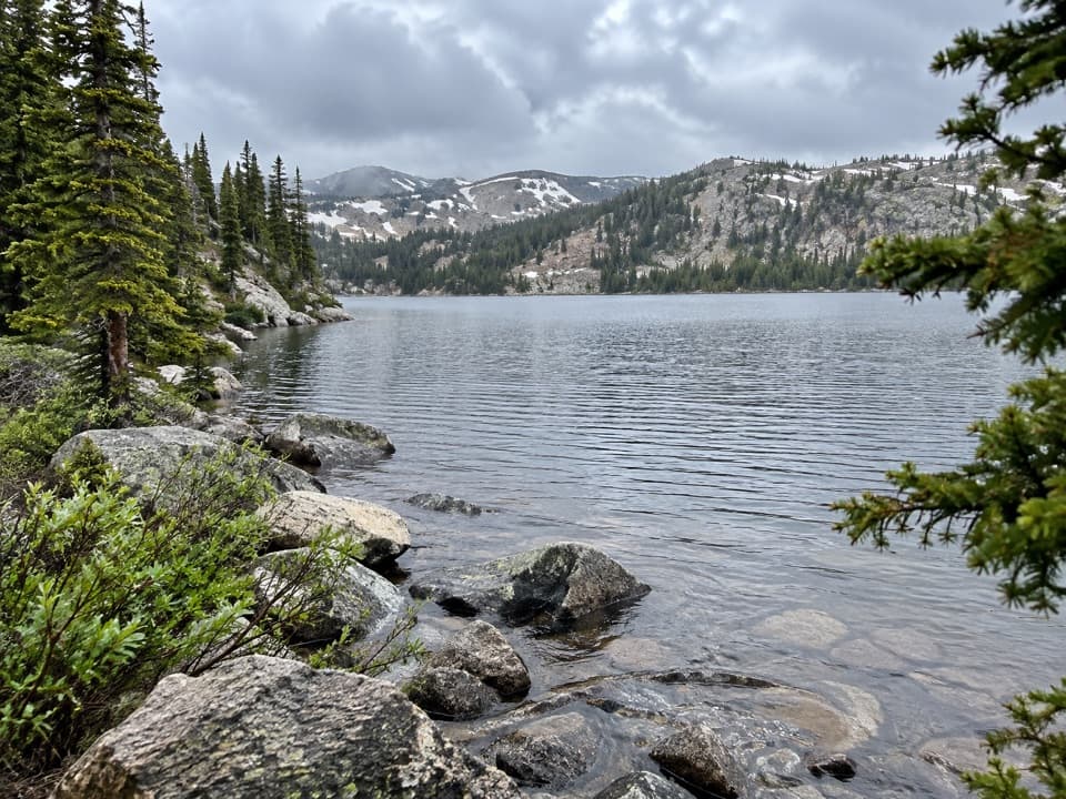 ModerateBeauty Lake Trail #6214.6 mi · 2.5 hr · At the trailheadA steady high-country climb leads to a reflective lake.
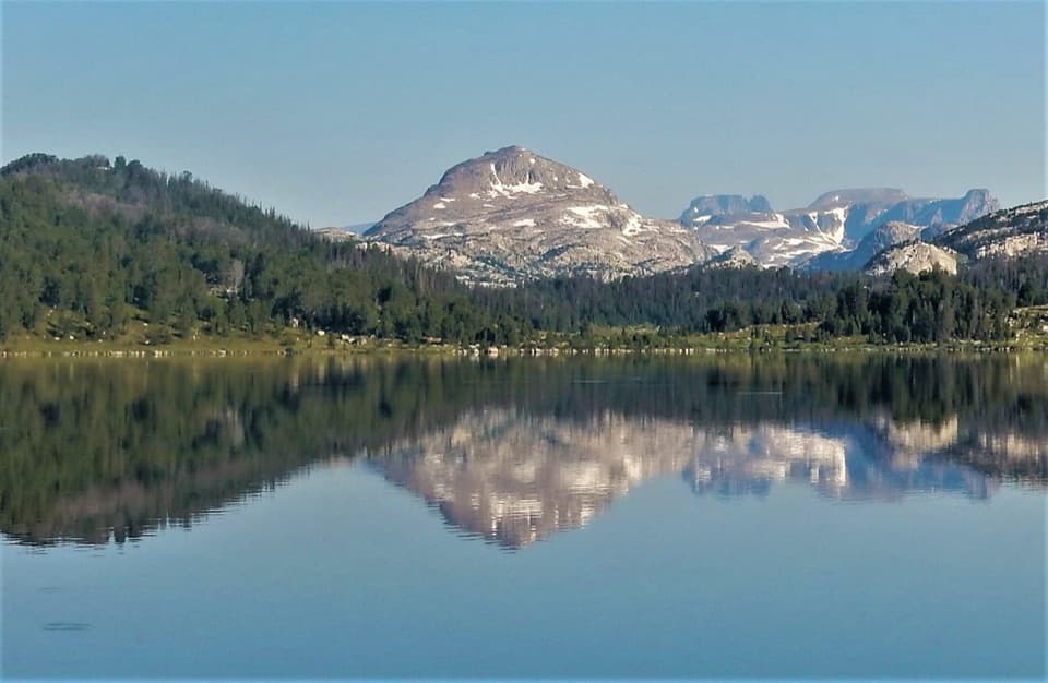 ModerateIsland Lake to Beartooth Lake Trail5.5 mi · 3.5 hr · 2.3 mi awayFive alpine miles, ten lakes and a shuttle between trailheads.ModerateBeartooth High Lakes Trail8.9 mi · 5.5 hr · 2.3 mi awayNine miles of alpine lakes, granite benches and big plateau views
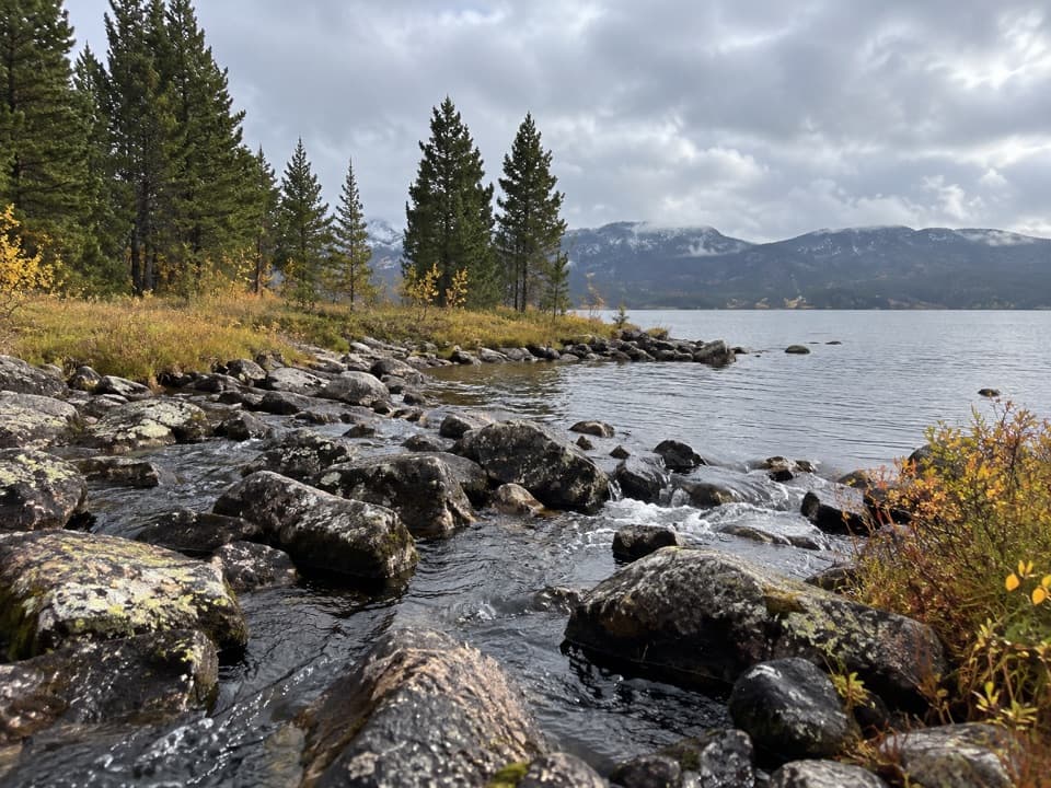 EasyIsland and Night Lakes Trail3.4 mi · 2 hr · 2.3 mi awayTwo alpine lakes on an easy, high-altitude walk off the highway.
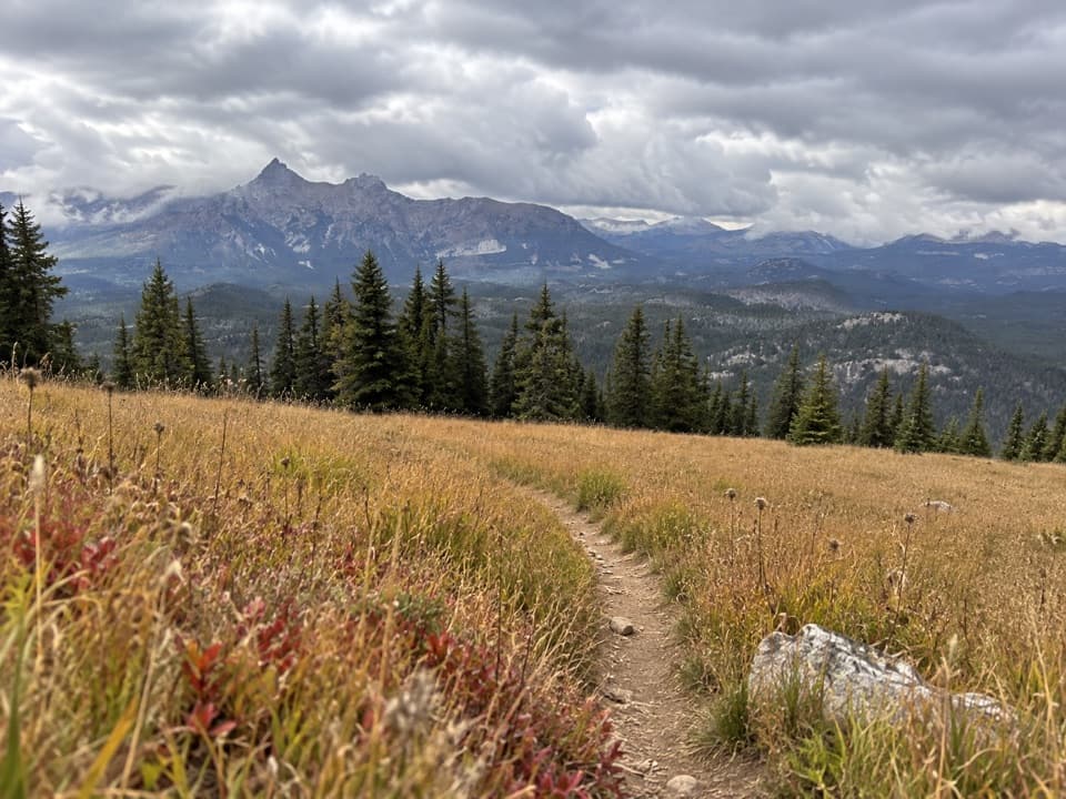 ModerateClay Butte Trail #6143 mi · 1.8 hr · 2.3 mi awayOpen meadow, high-country creeks and a junction with Trail #620.
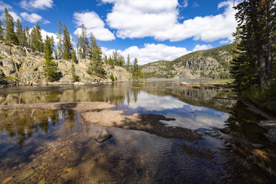 ModerateGranite Lake Trail via Clay Butte10 mi · 6.5 hr · 2.3 mi awayA 10-mile out-and-back to a 228-acre high-country lake.
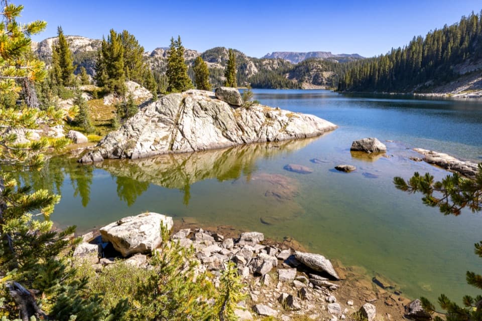 ChallengingHigh Beartooths Lakes Loop22 mi · 12 hr · 2.3 mi awayA full-day circuit linking alpine lakes above 8,700 feet.
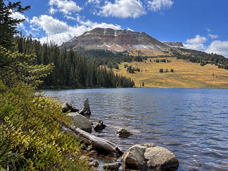 Campground · 0.2 mi awayBeartooth Lake CampgroundA lakefront base for fishing, boating and nearby high-country hikes.
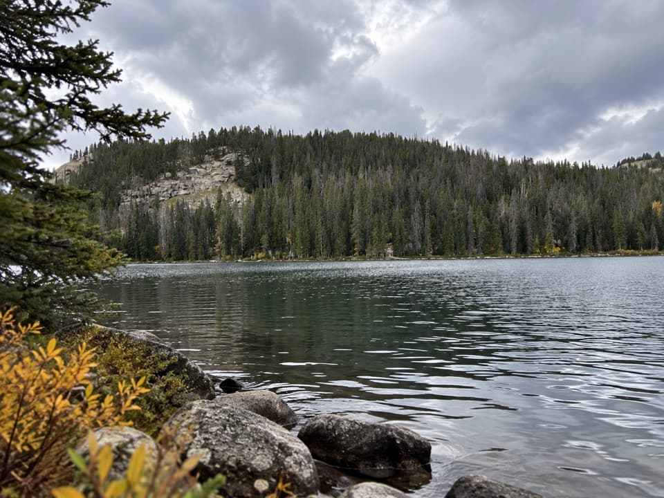 Sight · 0.3 mi awayBeartooth LakeLaunch, picnic, or take in Beartooth Butte across the lake.
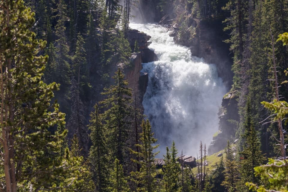 Sight · 1.1 mi awayBeartooth FallsA quick roadside look at the Beartooth Highway waterfall
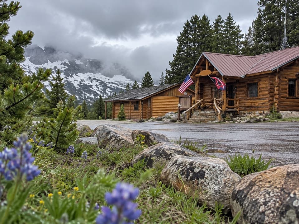 Store · 1.3 mi awayTop of the World Store and ResortA 9,400-foot store and lodge midway along the pass drive.
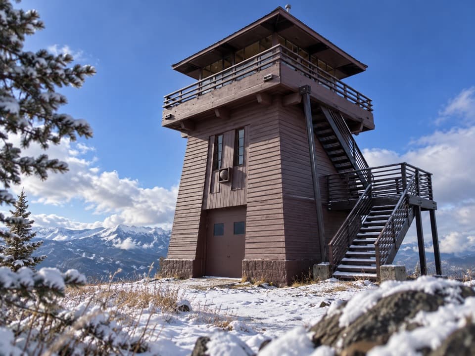 Sight · 2 mi awayClay Butte LookoutA historic fire tower with a 360-degree Beartooth panorama.Sight · 2.3 mi awayIsland LakeA high-country lake with boat access and hikes to nearby lakes.Campground · 2.5 mi awayIsland Lake CampgroundA simple high-country camp for lake views and nearby hikes.
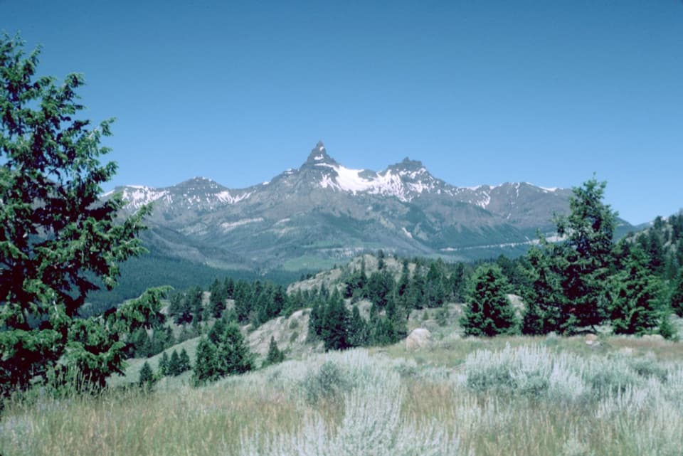 Scenic pullout · 2.8 mi awayPilot and Index Peaks OverlookTwo sharp peaks crown the Clark’s Fork valley view.
Parkwolf’s Beartooth Highway ranking

The audio tour guide for the drive, plus offline maps, trails, and wildlife heatmaps for when the signal drops.



