Parking
Start and finish at Clay Butte Trailhead on US-212/Beartooth Highway. Parking capacity, toilets and drinking-water details at the trailhead were not confirmed, so plan to be self-sufficient.
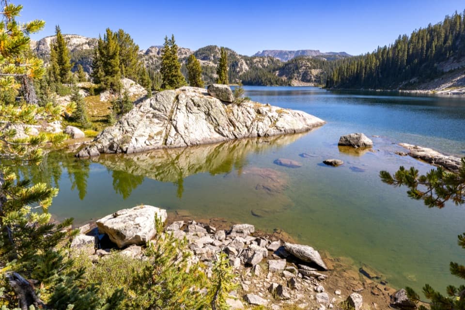
Beartooth Highway, MT · WY
A full-day circuit linking alpine lakes above 8,700 feet.
Overview
The High Beartooths Lakes Loop is a roughly 22-mile circuit from Clay Butte Trailhead, linking Granite, Elaine, Farley, Kidney and Thiel lakes before returning to its start. It is a demanding backcountry day, not a quick lake walk. A route listing gives 20.2 miles; the connected trail line for this full lake circuit measures 22.01, so the stored distance uses the longer figure. Published estimates put the climbing near 3,500 feet and the hike at 10 to 11 hours. Allow about 12 hours with lake stops, and leave a generous daylight margin. The access itself is already near 9,600 feet, and several lakes sit close to 10,000.
 Parkwolf’s verdictIs this the full-day for you?
Map & elevation
Plan your hike

The highest, rockiest slopes around here are a summer buffet for grizzly bears.
Beartooth Highway Tour Guide
Parkwolf is a GPS audio tour guide for Beartooth Highway. As you drive, it chimes in with what’s ahead: hidden gems, upcoming stops, history, geology, and wildlife, right through your car’s speakers.
See the Beartooth Highway audio tourRecorded for this trailhead
Clay Butte Lookout Detour“Up ahead is the access road for Clay Butte Lookout. The tower is two point six miles up a steep, rough gravel spur, so I'd skip this detour in a low-clearance car.”
Plays as you drive up to this trailhead in the Parkwolf Beartooth Highway Tour Guide.
More stories near here in the app
“Fantastic app with many points of information… It’s great to just turn on while you’re driving and it gives you an audio tour of the national Park. We love it!!!!”


Trail guide
Start at Clay Butte Trailhead and go first to Granite Lake, then northwest to Lake Elaine and Farley. Continue through Kidney and Thiel before turning back to Clay Butte. The full line joins several numbered trails and short connectors; it is a linked route through a trail network rather than one numbered trail end to end. A short ford is mapped on the Granite Lake stretch, but current water levels and crossing conditions are unknown. Save the complete line offline and check it at junctions. Turning around at Granite or Elaine makes a different, shorter outing and does not complete this circuit. Expect repeated climbs and descents between basins, even though the route returns to its starting point.
Granite Lake covers about 228 acres at 8,781 feet and lies on the Montana-Wyoming line. From there the route climbs northwest into higher country toward Lake Elaine, at 9,391 feet. Elaine is 132 acres, with a recorded maximum depth of 156 feet and a self-sustaining brook trout population. The route passes large, rock-edged water, forest margins and open meadow stretches. Elaine is one of the documented backcountry camping places along the loop, so it can serve as a natural pause if you divide the hike into two days.
Farley Lake sits at 9,778 feet; Kidney reaches 9,899 feet, the highest of the named lakes on this circuit; Thiel is at 9,233 feet. The high middle section is where the altitude and accumulated distance become especially noticeable. At Farley, look for the small rocky islet in the blue water. After Kidney, the route drops toward Thiel and the return leg; a narrow boardwalk crosses meadow on the Thiel-to-Clay Butte stretch. Those lake basins and the boardwalk are useful landmarks when the route changes from one numbered trail to another.
Backcountry campsites are documented at Lake Elaine and Thiel Lake, making a slower lake-to-lake itinerary possible. Camping is a way to break up the distance, not a guarantee of developed services: no reliable information confirmed food, toilets or drinking water along this circuit. Carry what you need for the full route, including a way to treat water, and plan bear-safe food storage before leaving the trailhead. The trail connects several basins, so decide in advance which lake will be your stopping point and allow time to reach it.
Wildlife
 42 sightingsGrizzly BearMost seen around 7 AMSighting map
 22 sightingsGray WolfMost seen around 6 AMSighting map
 49 sightingsBisonMost seen around 6 AMSighting map
 122 sightingsMooseMost seen around 6 AMSighting map
 260 sightingsMountain GoatMost seen around 7 AMSighting map
 16 sightingsBighorn SheepMost seen around 7 PMSighting map
Sighting maps show where each species has been reported across Beartooth Highway. Wildlife moves, so no sighting is guaranteed.
Keep exploring
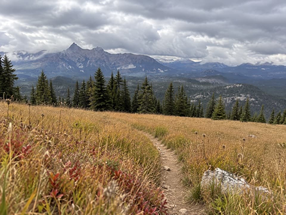 ModerateClay Butte Trail #6143 mi · 1.8 hr · At the trailheadOpen meadow, high-country creeks and a junction with Trail #620.
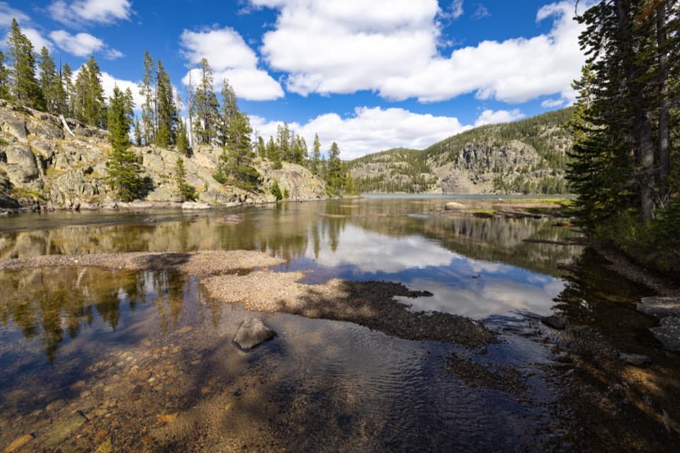 ModerateGranite Lake Trail via Clay Butte10 mi · 6.5 hr · At the trailheadA 10-mile out-and-back to a 228-acre high-country lake.
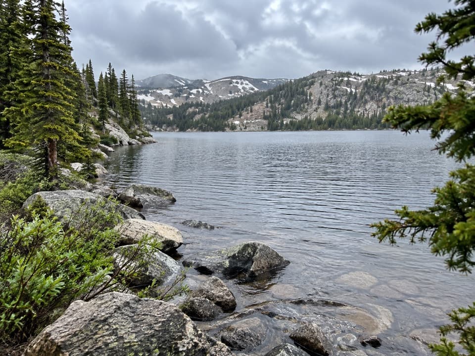 ModerateBeauty Lake Trail #6214.6 mi · 2.5 hr · 2.3 mi awayA steady high-country climb leads to a reflective lake.
 ModerateBeartooth Lakes Loop7.8 mi · 4 hr · 2.3 mi awayA six-lake loop over high ridges and wildflower meadows.
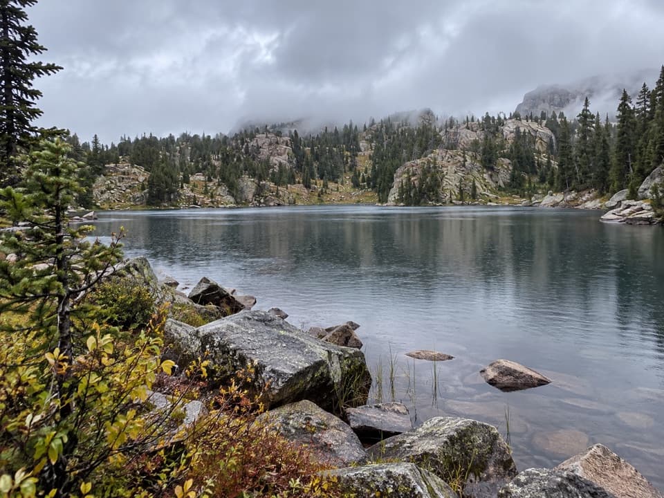 ModerateNative Lake Trail7.9 mi · 4 hr · 2.3 mi awayA high alpine lake reached after meadows and 1,300 feet of climbing.
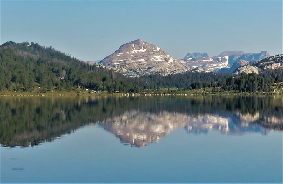 ModerateIsland Lake to Beartooth Lake Trail5.5 mi · 3.5 hr · 4.6 mi awayFive alpine miles, ten lakes and a shuttle between trailheads.ModerateBeartooth High Lakes Trail8.9 mi · 5.5 hr · 4.6 mi awayNine miles of alpine lakes, granite benches and big plateau views
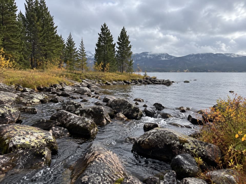 EasyIsland and Night Lakes Trail3.4 mi · 2 hr · 4.6 mi awayTwo alpine lakes on an easy, high-altitude walk off the highway.
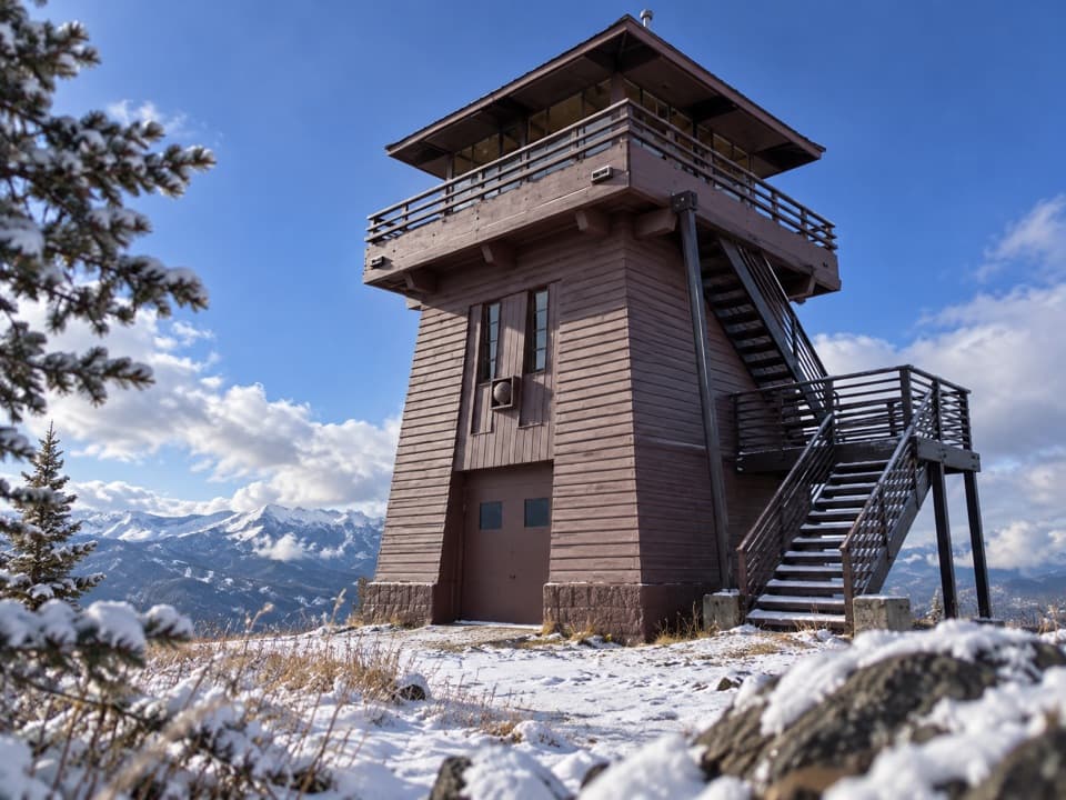 Sight · 0.6 mi awayClay Butte LookoutA historic fire tower with a 360-degree Beartooth panorama.
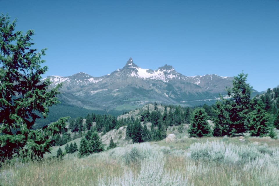 Scenic pullout · 1.3 mi awayPilot and Index Peaks OverlookTwo sharp peaks crown the Clark’s Fork valley view.
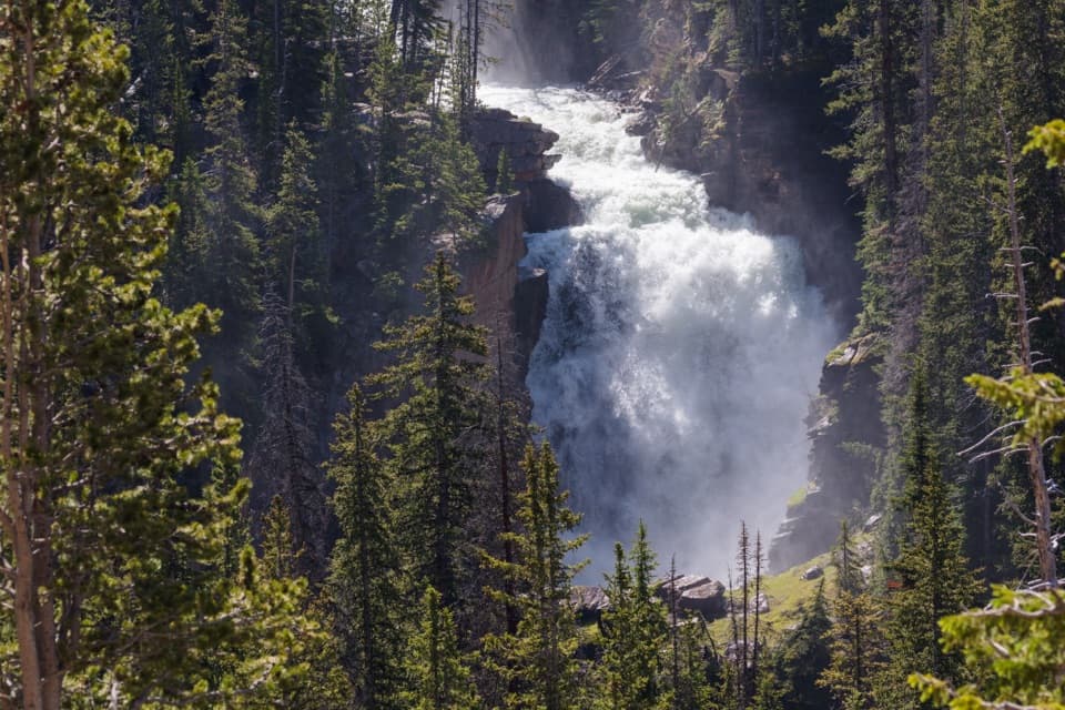 Sight · 1.7 mi awayBeartooth FallsA quick roadside look at the Beartooth Highway waterfall
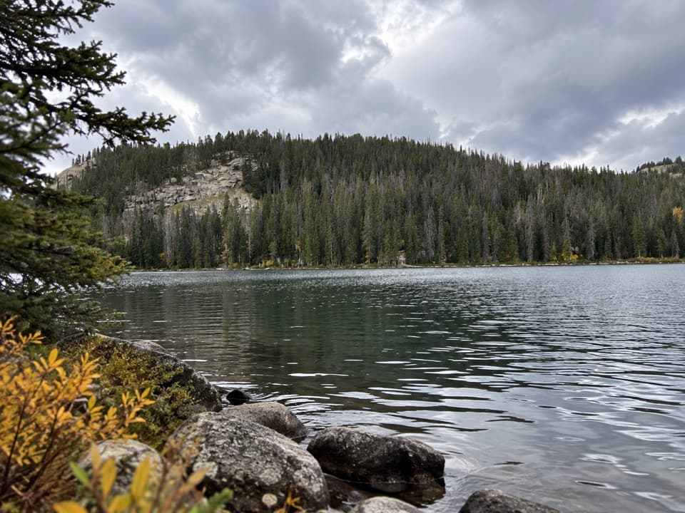 Sight · 2.1 mi awayBeartooth LakeLaunch, picnic, or take in Beartooth Butte across the lake.
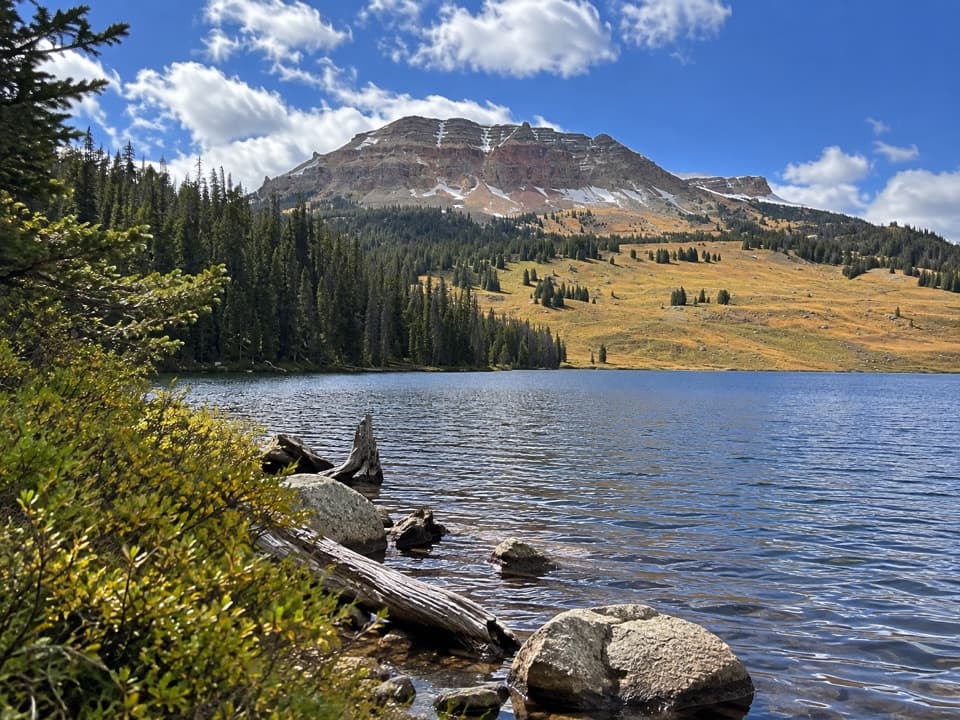 Campground · 2.2 mi awayBeartooth Lake CampgroundA lakefront base for fishing, boating and nearby high-country hikes.
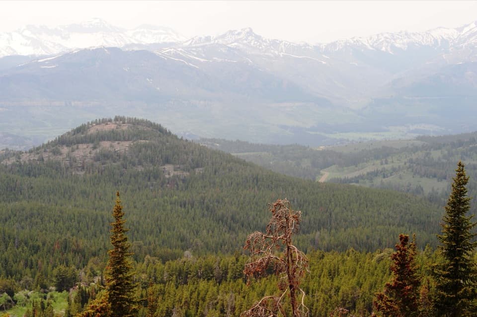 Scenic pullout · 3.6 mi awayClarks Fork OverlookA roadside view where the valley's geology comes into focus.
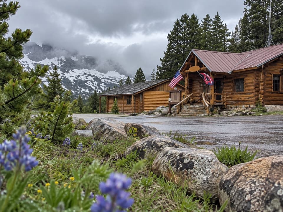 Store · 3.6 mi awayTop of the World Store and ResortA 9,400-foot store and lodge midway along the pass drive.
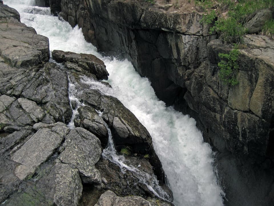 Sight · 3.8 mi awayLake Creek FallsA short bridge walk reaches a waterfall in a granite gorge.
Parkwolf’s Beartooth Highway ranking
The audio tour guide for the drive, plus offline maps, trails, and wildlife heatmaps for when the signal drops.



