Parking
Start at the signed Clay Butte Trailhead #614 on Clay Butte Road along the Beartooth Highway. Parking capacity and facilities were not verified.
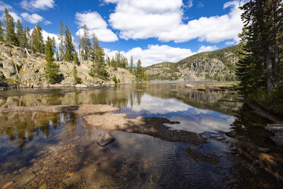
Beartooth Highway, MT · WY
A 10-mile out-and-back to a 228-acre high-country lake.
Overview
Map & elevation
Plan your hike

The highest, rockiest slopes around here are a summer buffet for grizzly bears.
Beartooth Highway Tour Guide
Parkwolf is a GPS audio tour guide for Beartooth Highway. As you drive, it chimes in with what’s ahead: hidden gems, upcoming stops, history, geology, and wildlife, right through your car’s speakers.
See the Beartooth Highway audio tourRecorded for this trailhead
Clay Butte Lookout Detour“Up ahead is the access road for Clay Butte Lookout. The tower is two point six miles up a steep, rough gravel spur, so I'd skip this detour in a low-clearance car.”
Plays as you drive up to this trailhead in the Parkwolf Beartooth Highway Tour Guide.
More stories near here in the app
“Fantastic app with many points of information… It’s great to just turn on while you’re driving and it gives you an audio tour of the national Park. We love it!!!!”


Trail guide
This is a 10-mile out-and-back from Clay Butte Trailhead #614 to Granite Lake, about five miles each way. The established approach drops roughly 900 feet to the lake; expect that net climb on the return, plus rolling sections along the way. Allow about six to seven hours for this high-altitude day hike. The mapped route ends at the northeast lake approach; its final short connection to the shore is not explicit in available mapping.
Granite Lake sits at 8,781 feet in a high cirque above timberline and covers 228 acres in the Clarks Fork drainage. The open, high-country lake is the payoff for the long approach. Campsites and firewood are noted at the lake, and rainbow trout are listed there.
This entry follows the Clay Butte approach. A separate route from Muddy Creek Trail #612/568 is listed at seven miles one way with about 540 feet of climbing on the way in; that is a different start and is not part of this mapped route.
Start at the signed Clay Butte Trailhead #614 on Clay Butte Road along the Beartooth Highway. The trailhead is already near 9,580 feet, so the 10-mile distance and high elevation make this a substantial outing even though the lake is lower than the start. The return climb is the main effort to plan for.
Wildlife
 42 sightingsGrizzly BearMost seen around 7 AMSighting map
 22 sightingsGray WolfMost seen around 6 AMSighting map
 49 sightingsBisonMost seen around 6 AMSighting map
 122 sightingsMooseMost seen around 6 AMSighting map
 260 sightingsMountain GoatMost seen around 7 AMSighting map
 16 sightingsBighorn SheepMost seen around 7 PMSighting map
Sighting maps show where each species has been reported across Beartooth Highway. Wildlife moves, so no sighting is guaranteed.
Keep exploring
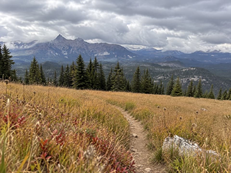 ModerateClay Butte Trail #6143 mi · 1.8 hr · At the trailheadOpen meadow, high-country creeks and a junction with Trail #620.
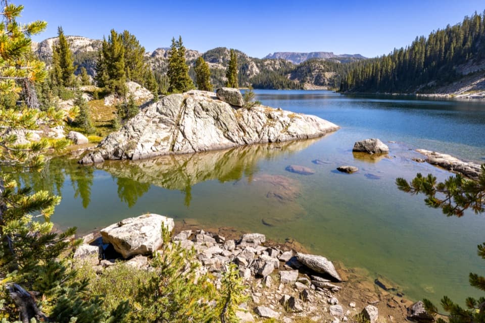 ChallengingHigh Beartooths Lakes Loop22 mi · 12 hr · At the trailheadA full-day circuit linking alpine lakes above 8,700 feet.
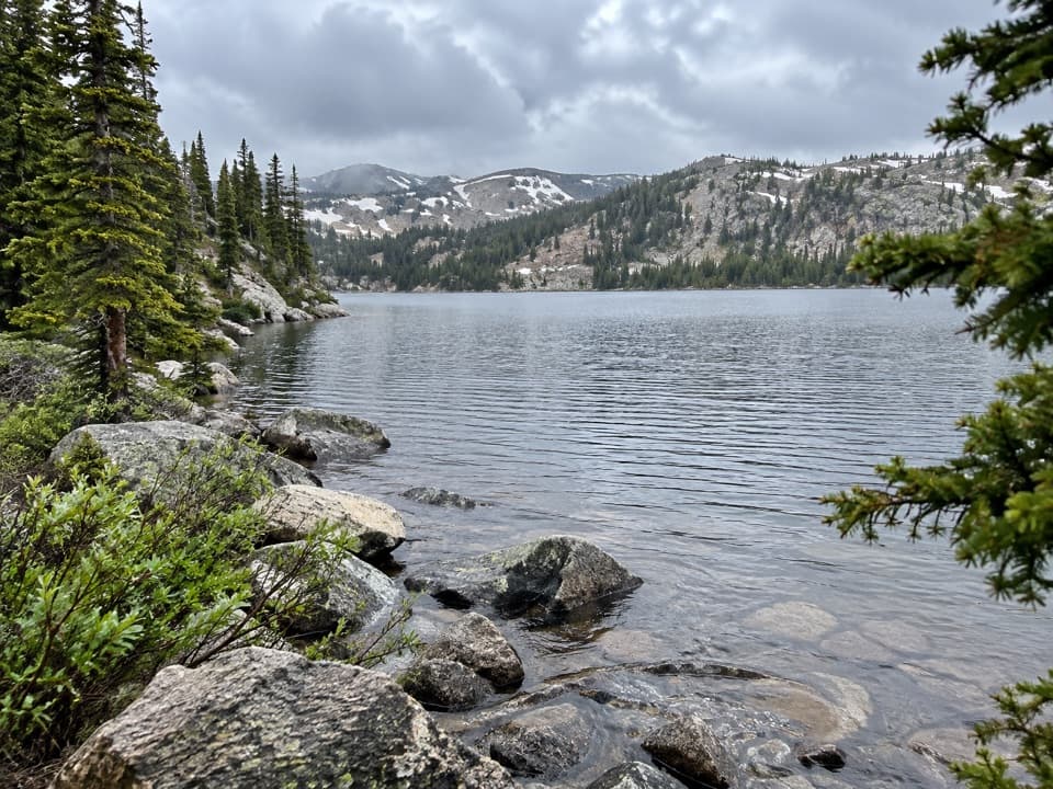 ModerateBeauty Lake Trail #6214.6 mi · 2.5 hr · 2.3 mi awayA steady high-country climb leads to a reflective lake.
 ModerateBeartooth Lakes Loop7.8 mi · 4 hr · 2.3 mi awayA six-lake loop over high ridges and wildflower meadows.
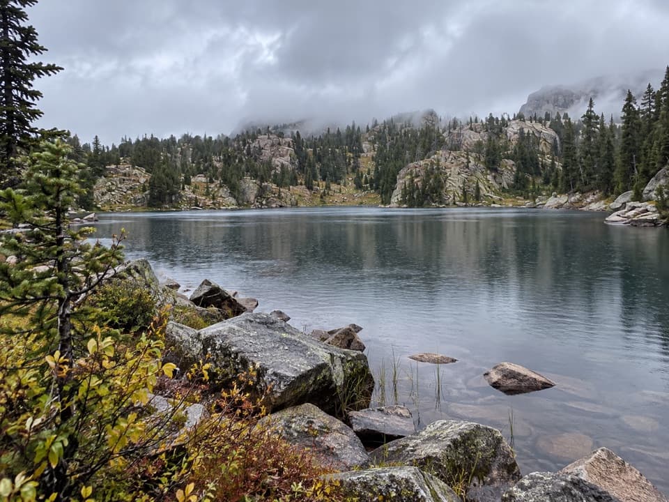 ModerateNative Lake Trail7.9 mi · 4 hr · 2.3 mi awayA high alpine lake reached after meadows and 1,300 feet of climbing.
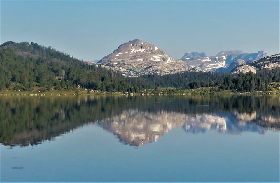 ModerateIsland Lake to Beartooth Lake Trail5.5 mi · 3.5 hr · 4.6 mi awayFive alpine miles, ten lakes and a shuttle between trailheads.ModerateBeartooth High Lakes Trail8.9 mi · 5.5 hr · 4.6 mi awayNine miles of alpine lakes, granite benches and big plateau views
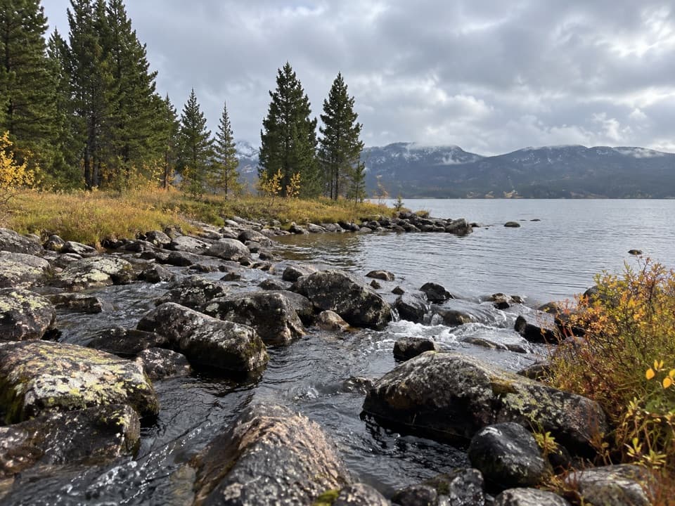 EasyIsland and Night Lakes Trail3.4 mi · 2 hr · 4.6 mi awayTwo alpine lakes on an easy, high-altitude walk off the highway.
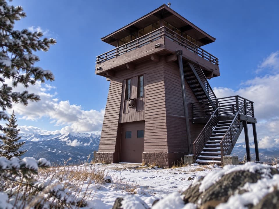 Sight · 0.6 mi awayClay Butte LookoutA historic fire tower with a 360-degree Beartooth panorama.
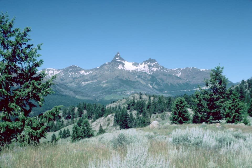 Scenic pullout · 1.3 mi awayPilot and Index Peaks OverlookTwo sharp peaks crown the Clark’s Fork valley view.
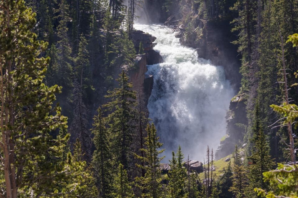 Sight · 1.7 mi awayBeartooth FallsA quick roadside look at the Beartooth Highway waterfall
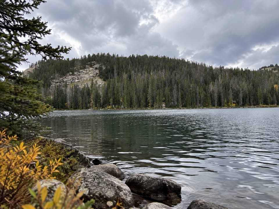 Sight · 2.1 mi awayBeartooth LakeLaunch, picnic, or take in Beartooth Butte across the lake.
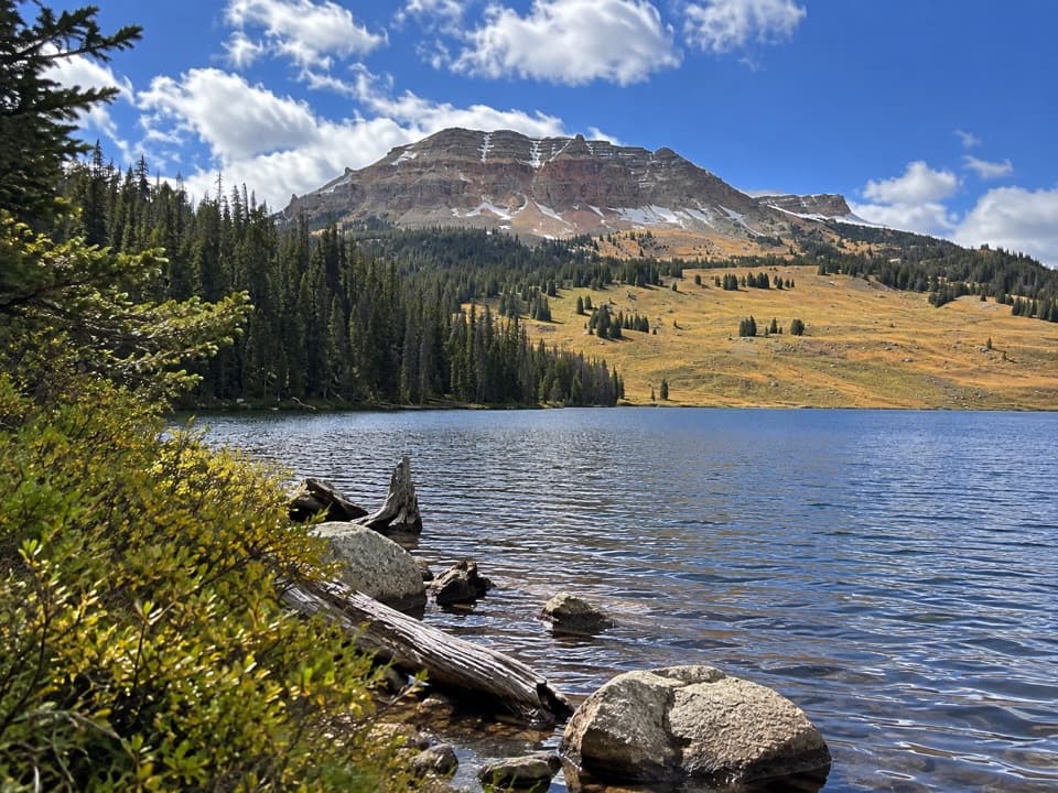 Campground · 2.2 mi awayBeartooth Lake CampgroundA lakefront base for fishing, boating and nearby high-country hikes.
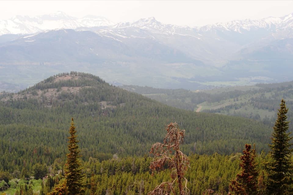 Scenic pullout · 3.6 mi awayClarks Fork OverlookA roadside view where the valley's geology comes into focus.
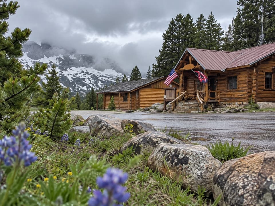 Store · 3.6 mi awayTop of the World Store and ResortA 9,400-foot store and lodge midway along the pass drive.
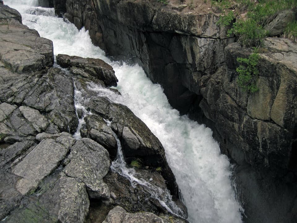 Sight · 3.8 mi awayLake Creek FallsA short bridge walk reaches a waterfall in a granite gorge.
Parkwolf’s Beartooth Highway ranking

The audio tour guide for the drive, plus offline maps, trails, and wildlife heatmaps for when the signal drops.



