Clay Butte Trail #614 in Beartooth Highway

Beartooth Highway, MT · WY

Clay Butte Trail #614

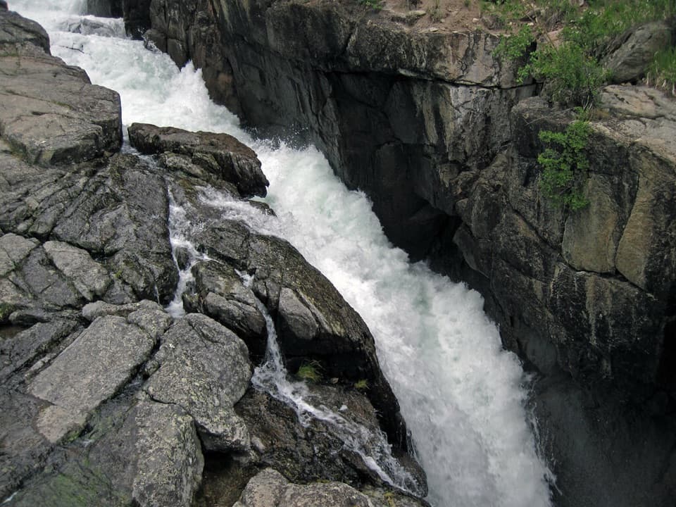
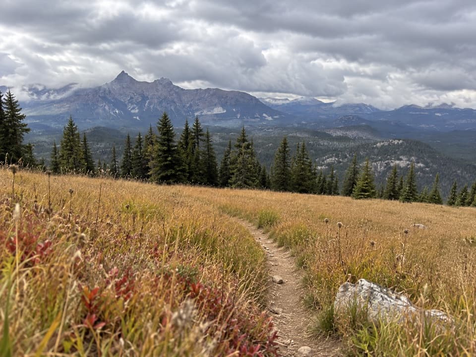
Open meadow, high-country creeks and a junction with Trail #620.

Length
3mi
Time
1.8hr
Elev. change
554ft
Difficulty
Moderate
  • High point 9,783 ft

Hear the audio tour

Clay Butte Lookout Detour

Overview

About Clay Butte Trail #614

Why go

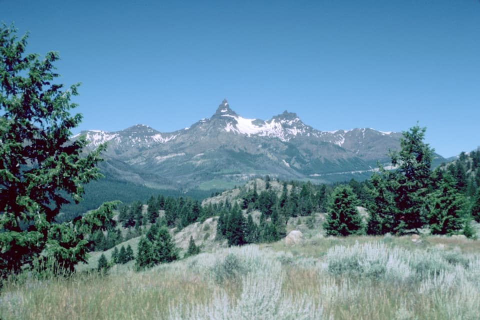
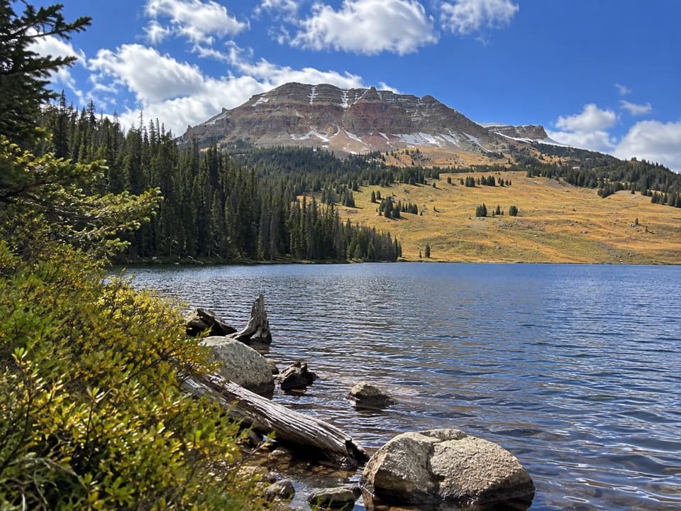
  • Open meadow views toward Pilot Peak.
  • A direct junction with Trail #620 links into the high-lake trail network.

Heads up

  • Point-to-point; walking back makes the outing about 6 miles.

Map & elevation

The route

Loading the Beartooth Highway map
Full map
Elevation9,229–9,783 ft
TrailheadClay Butte Trailhead #61444.95180, -109.63295
Keep this map with you offline in the Parkwolf app

Plan your hike

Before you go

Parking

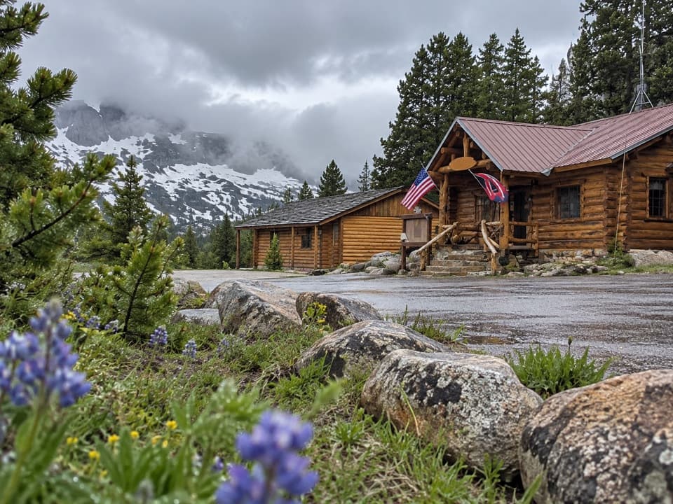
From US 212, continue about 1.5 miles west of the Beartooth Lake turnoff and turn right onto gravel Clay Butte Road. After about 1.5 miles, the signed trailhead is on the left before a sharp switchback. Parking capacity is not published. This is separate from Forest Road 142 to Clay Butte Lookout.

Safety

The route stays at roughly 9,250–9,770 feet. Snow and freezing temperatures can occur even in summer, and afternoon thunderstorms bring lightning risk. Small creeks cross the trail. Confirm current road and trail access before setting out; the trail-specific dog rule was not found.

1 active Beartooth Highway alert

  • ClosureBeartooth Highway seasonal closure and falling-rock advisoryBeartooth Highway (US-212) is closed for the season between Cooke City and Red Lodge; do not plan to travel the highway as a through route.Official details
Beartooth Highway alerts
A park ranger sits on a dash-mounted phone, talking, as Parkwolf’s Tour Guide plays “Army Cutworm Moths: A Grizzly Bear Buffet” on Grand Loop Road below Dunraven Pass in Yellowstone
Parkwolf Tour GuideThe highest, rockiest slopes around here are a summer buffet for grizzly bears.

Beartooth Highway Tour Guide

Your drive to Clay Butte Trail #614, narrated.

Parkwolf is a GPS audio tour guide for Beartooth Highway. As you drive, it chimes in with what’s ahead: hidden gems, upcoming stops, history, geology, and wildlife, right through your car’s speakers.

See the Beartooth Highway audio tour

Recorded for this trailhead

Clay Butte Lookout Detour
0:00 / 0:31
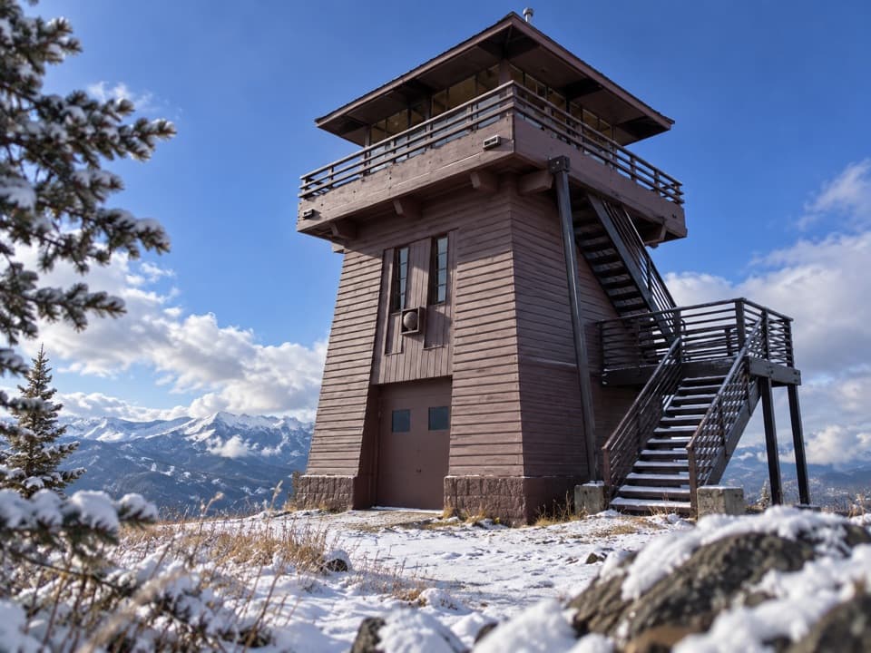
“Up ahead is the access road for Clay Butte Lookout. The tower is two point six miles up a steep, rough gravel spur, so I'd skip this detour in a low-clearance car.”

Plays as you drive up to this trailhead in the Parkwolf Beartooth Highway Tour Guide.

More stories near here in the app

  • Pilot and Index Peaks Overlook
  • Beartooth Falls
  • The Older Volcanoes
  • Beartooth Lake
  • 62 audio storiesacross Beartooth Highway’s roads, triggered by GPS as you drive
  • Wildlife heatmapsfor Grizzly Bear, Gray Wolf, Bison, and 13 more
  • Works offlinemaps, 82 trails, 36 places, and audio download before you lose signal
  • CarPlay readysimple controls built for the drive
★★★★★
“Fantastic app with many points of information… It’s great to just turn on while you’re driving and it gives you an audio tour of the national Park. We love it!!!!”
JMJamesApp Store review
Download Parkwolf on the App StoreGet Parkwolf on Google Play

4.7 from 8,600+ ratings

Trail guide

Hiking Clay Butte Trail #614

The routeClay Butte Trail 614 is a 3.

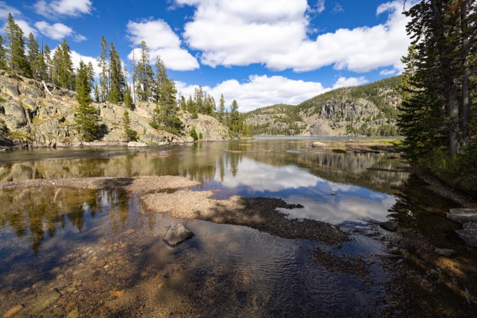
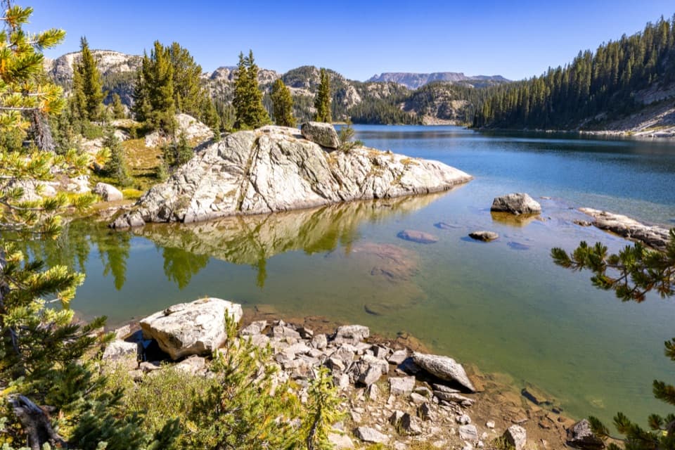
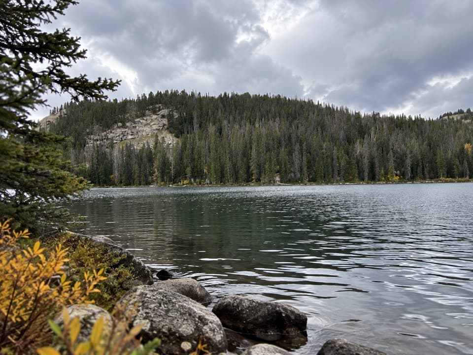
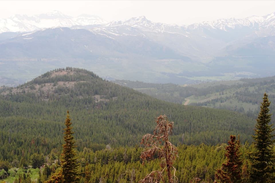
Clay Butte Trail #614 is a 3.0-mile one-way point-to-point walk from the signed Clay Butte Trailhead to its junction with Trail #620. The opening meadow looks across to Pilot Peak; beyond it, the trail rolls along the west side of Beartooth Butte. This is a backcountry connector, not the separate road walk to Clay Butte Lookout.
How it unfoldsThe first 1.

The first 1.1 miles descend to a signed Granite Lake junction at about 9,260 feet, roughly 320 feet below the trailhead. Past the junction, the tread winds over small hills and crosses several tiny creeks. The mapped route meets Trail #620 at the far end; hikers continuing toward the high lakes should treat that as a separate extension. The trail sits between about 9,250 and 9,770 feet, with roughly 548 feet of ascent and 343 feet of descent.

Plan the walkAllow about 1¾–2 hours one way.

Allow about 1¾–2 hours one way. Walking back the same route makes it about 6 miles total; otherwise arrange a pickup or research a longer connection before setting out. From US 212, reach the signed trailhead on gravel Clay Butte Road. Do not confuse it with Forest Road 142, which climbs to the lookout. Parking capacity and a trail-specific dog rule were not confirmed, so check access with the Forest Service before you go. Snow or freezing temperatures can occur even in summer, and afternoon thunderstorms can bring lightning.

Wildlife

Wildlife in Beartooth Highway

All Beartooth Highway wildlife maps

Sighting maps show where each species has been reported across Beartooth Highway. Wildlife moves, so no sighting is guaranteed.

Keep exploring

Near Clay Butte Trail #614

See it all on the map

Trails that start nearby

Places near the trailhead

Parkwolf’s Beartooth Highway ranking

Top-rated trails in Beartooth Highway

All 82 trails
  1. 1Glacier Lake TrailChallenging · 4.4 mi
  2. 2Beartooth Lakes LoopModerate · 7.8 mi
  3. 3Becker and Albino Lakes TrailModerate · 12.2 mi
  4. 4Beartooth Loop National Recreation TrailChallenging · 10.9 mi
  5. 5The Beaten PathChallenging · 26 mi
  6. 6Gardner Lake TrailModerate · 1.6 mi

Take Parkwolf to Beartooth Highway.

The audio tour guide for the drive, plus offline maps, trails, and wildlife heatmaps for when the signal drops.

4.7 from 8,600+ ratings

Download Parkwolf on the App StoreGet Parkwolf on Google Play