Zimmer Creek Trail #574 in Beartooth Highway

Beartooth Highway, MT · WY

Zimmer Creek Trail #574

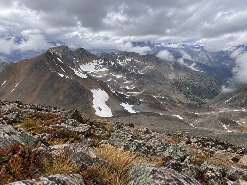
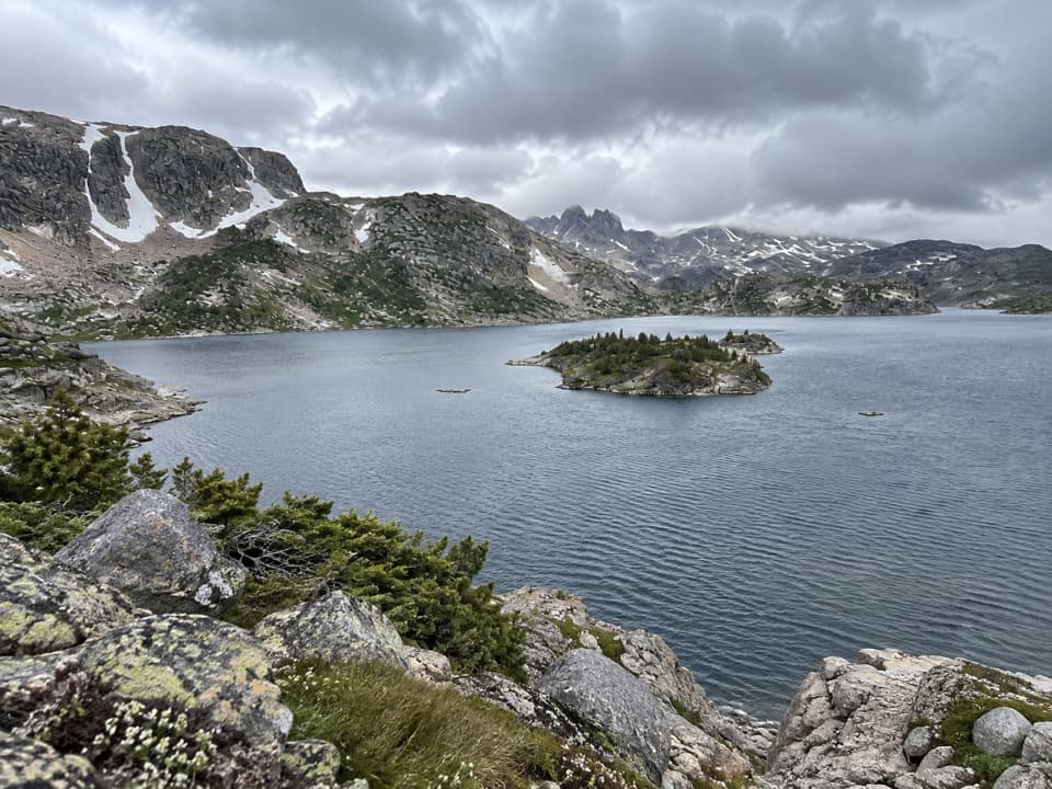
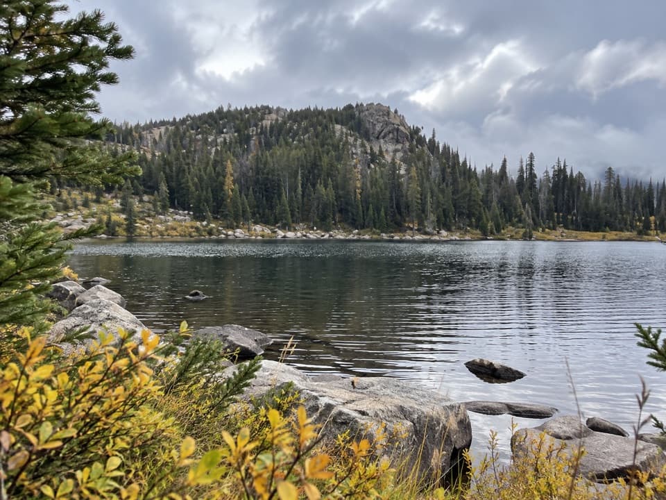
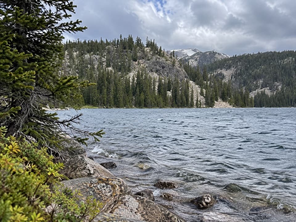
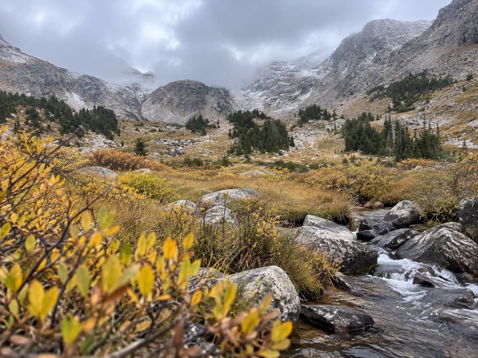
A steep creekside climb to a high alpine lake.

Length
2.8mi
Time
2.5hr
Elev. change
899ft
Difficulty
Challenging
  • High point 10,138 ft
Parkwolf audio tour62 stories across Beartooth Highway’s roads

Overview

About Zimmer Creek Trail #574

Why go

  • A short climb to a high alpine lake
  • A distinct uphill wilderness route

Heads up

  • Steep, difficult grade
  • The road-side approach to the junction is unclear
  • The mapped line stops short of the lake shore

Map & elevation

The route

Loading the Beartooth Highway map
Full map
Elevation9,239–10,138 ft
TrailheadZimmer Creek Trail #574 junction with Lady of the Lake Trail #3145.10198, -109.88429
Keep this map with you offline in the Parkwolf app

Plan your hike

Before you go

Parking

The #574 starts at its junction with Lady of the Lake Trail #31 in the Absaroka–Beartooth Wilderness; a road-side lot at that junction was not confirmed. FWP lists access from Goose Lake Jeep Trail as five miles, with four miles on trail, but leaves the distance convention unclear. Check a current Forest Service map for parking and the approach to the junction.

Safety

The published route profile shows about 900 feet of gain over 1.4 miles and rates the route difficult. The Forest Service prohibits pack stock year-round on #574. The mapped line stops about 100 meters from the lake shore, so verify the final approach.

1 active Beartooth Highway alert

  • ClosureBeartooth Highway seasonal closure and falling-rock advisoryBeartooth Highway (US-212) is closed for the season between Cooke City and Red Lodge; do not plan to travel the highway as a through route.Official details
Beartooth Highway alerts
A park ranger sits on a dash-mounted phone, talking, as Parkwolf’s Tour Guide plays “Army Cutworm Moths: A Grizzly Bear Buffet” on Grand Loop Road below Dunraven Pass in Yellowstone
Parkwolf Tour GuideThe highest, rockiest slopes around here are a summer buffet for grizzly bears.

Beartooth Highway Tour Guide

Your drive to Zimmer Creek Trail #574, narrated.

Parkwolf is a GPS audio tour guide for Beartooth Highway. As you drive, it chimes in with what’s ahead: hidden gems, upcoming stops, history, geology, and wildlife, right through your car’s speakers.

See the Beartooth Highway audio tour

More stories near here in the app

  • Colter Campground
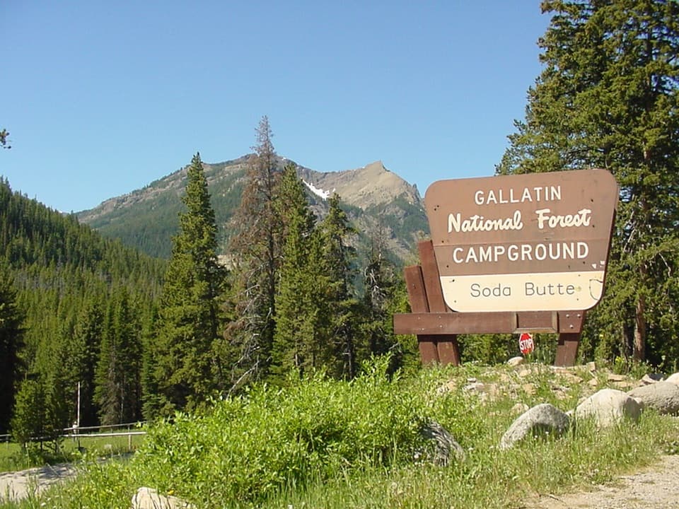
  • Soda Butte Campground
  • Clarks Fork Picnic Area
  • 62 audio storiesacross Beartooth Highway’s roads, triggered by GPS as you drive
  • Wildlife heatmapsfor Grizzly Bear, Gray Wolf, Bison, and 13 more
  • Works offlinemaps, 82 trails, 36 places, and audio download before you lose signal
  • CarPlay readysimple controls built for the drive
★★★★★
“Fantastic app with many points of information… It’s great to just turn on while you’re driving and it gives you an audio tour of the national Park. We love it!!!!”
JMJamesApp Store review
Download Parkwolf on the App StoreGet Parkwolf on Google Play

4.7 from 8,600+ ratings

Trail guide

Hiking Zimmer Creek Trail #574

The routeZimmer Creek Trail 574 is a difficult 1.

Zimmer Creek Trail #574 is a difficult 1.4-mile point-to-point climb from the junction with Lady of the Lake Trail #31 to Zimmer Lake. It gains about 900 feet, with a 13% average grade in the published route profile. Hike the segment out and back for about 2.8 miles; allow around 2.5 hours for #574 itself, plus any time needed to reach the junction on #31.

Find the startThe 574 begins at a wilderness junction, not a verified roadside trailhead.

The #574 begins at a wilderness junction, not a verified roadside trailhead. Forest Service mapping places it where the route meets Trail #31. Montana Fish, Wildlife & Parks lists a five-mile access to Zimmer Lake from Goose Lake Jeep Trail, with four miles on trail, but doesn't say whether that's one way or round trip. Parking and the exact approach to the junction weren't confirmed, so check a current Forest Service map before setting out.

The last stretchThe Forest Service describes 574 as continuing north from Trail 31 to Zimmer Lake.

The Forest Service describes #574 as continuing north from Trail #31 to Zimmer Lake. The mapped line follows Zimmer Creek and stops about 100 meters short of the shoreline. That final short approach isn't clear in the available geometry, so confirm it on a current map before treating the lake as a sure turnaround. This is short on mileage but steep enough to be a tough choice for a casual lake stroll.

Wildlife

Wildlife in Beartooth Highway

All Beartooth Highway wildlife maps

Sighting maps show where each species has been reported across Beartooth Highway. Wildlife moves, so no sighting is guaranteed.

Keep exploring

Near Zimmer Creek Trail #574

See it all on the map

Trails that start nearby

Places near the trailhead

Parkwolf’s Beartooth Highway ranking

Top-rated trails in Beartooth Highway

All 82 trails
  1. 1Glacier Lake TrailChallenging · 4.4 mi
  2. 2Beartooth Lakes LoopModerate · 7.8 mi
  3. 3Becker and Albino Lakes TrailModerate · 12.2 mi
  4. 4Beartooth Loop National Recreation TrailChallenging · 10.9 mi
  5. 5The Beaten PathChallenging · 26 mi
  6. 6Gardner Lake TrailModerate · 1.6 mi

Take Parkwolf to Beartooth Highway.

The audio tour guide for the drive, plus offline maps, trails, and wildlife heatmaps for when the signal drops.

4.7 from 8,600+ ratings

Download Parkwolf on the App StoreGet Parkwolf on Google Play