Best time to go
Fox Creek is first come, first served, with no reservations. The campground typically opens from late June to early or mid-September. Beartooth Highway is a seasonal high-mountain road, so check its status near the season's edges.
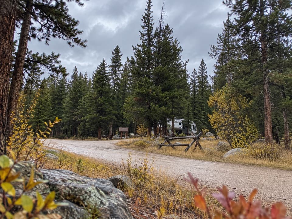
Campground · Beartooth Highway
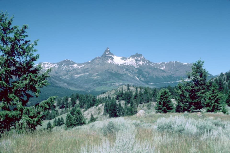
Sleep under conifers with Pilot and Index Peaks in view.
Overview
Map
Plan your stop

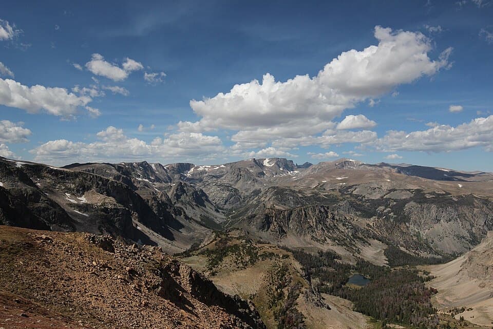
The highest, rockiest slopes around here are a summer buffet for grizzly bears.
Beartooth Highway Tour Guide
Parkwolf is a GPS audio tour guide for Beartooth Highway. As you drive, it chimes in with what’s ahead: hidden gems, upcoming stops, history, geology, and wildlife, right through your car’s speakers.
See the Beartooth Highway audio tourRecorded for this place
Fox Creek Campground“You're nearing Fox Creek Campground, an overnight stop with views of Pilot and Index Peaks.”
Plays as you drive up to Fox Creek Campground in the Parkwolf Beartooth Highway Tour Guide.
More stories near here in the app
“Fantastic app with many points of information… It’s great to just turn on while you’re driving and it gives you an audio tour of the national Park. We love it!!!!”


Guide
Fox Creek is a 33-site campground on the Wyoming stretch of Beartooth Highway, with views of Pilot and Index Peaks. Keep it in mind for a high-country overnight between scenic-drive stops.
Some single sites and two triple sites have electric hookups; the maximum vehicle spur is 32 feet. Vault toilets, picnic tables and bear boxes are available, and food storage is required. Stays are limited to 16 days. Potable water is listed, but recent visitors have reported problems; check before relying on it.
Nearby trailheads give access to both the Absaroka and Beartooth ranges. Day hiking and stream or river fishing are among the activities around camp, so this works well as an overnight if you want time off the highway.
Wildlife
 42 sightingsGrizzly BearMost seen around 7 AMSighting map
 22 sightingsGray WolfMost seen around 6 AMSighting map
 49 sightingsBisonMost seen around 6 AMSighting map
 122 sightingsMooseMost seen around 6 AMSighting map
 260 sightingsMountain GoatMost seen around 7 AMSighting map
 16 sightingsBighorn SheepMost seen around 7 PMSighting map
Sighting maps show where each species has been reported across Beartooth Highway. Wildlife moves, so no sighting is guaranteed.
Keep exploring
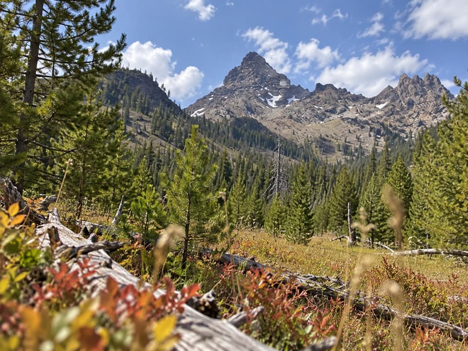 ChallengingPilot Creek Trail12.5 mi · 7 hr · 1.8 mi awayA long creekside climb to falls, crags, and a grassy meadow.
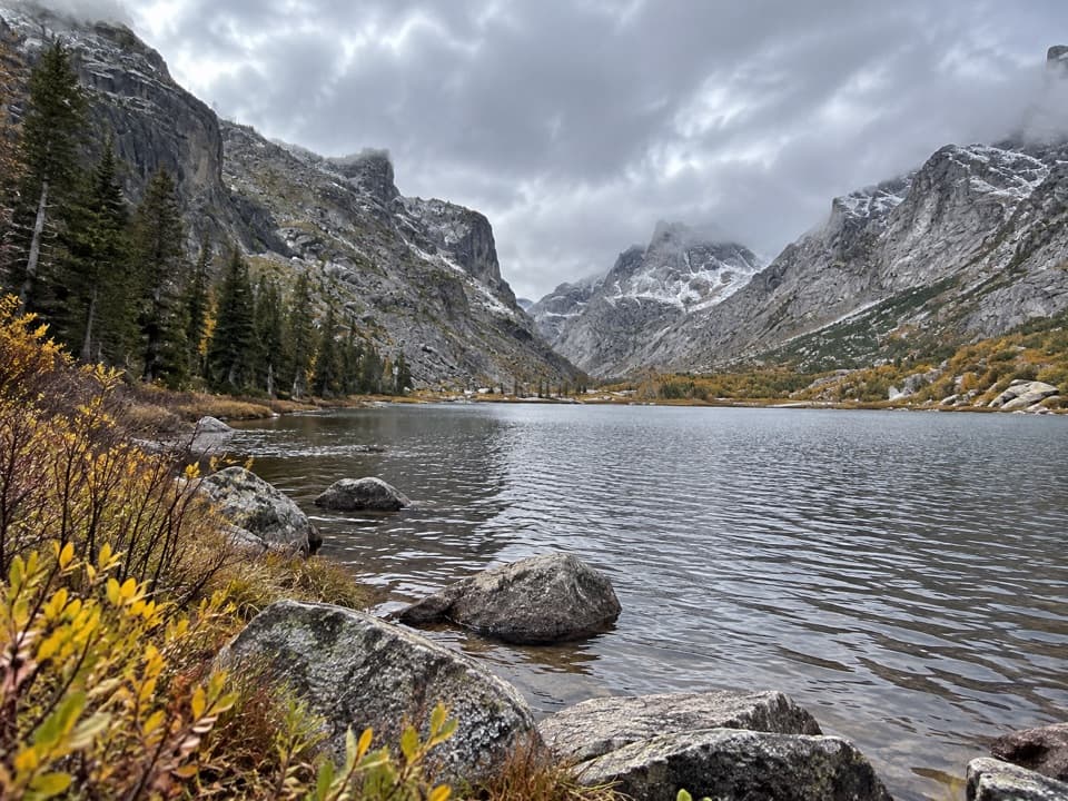 EasyKersey Lake Trail3 mi · 1.3 hr · 3.4 mi awayAn easy three-mile return to a trout lake on the Beaten Path
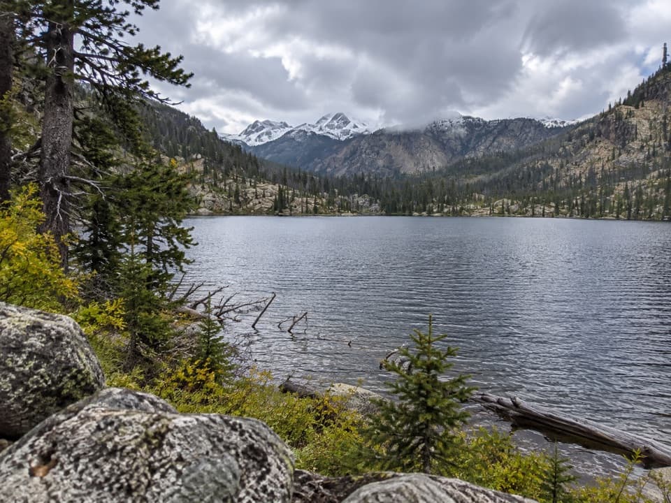 ModerateBroadwater River to Curl Lake Trail6.5 mi · 4.5 hr · 3.4 mi awayMarshy meadows and a rough final approach to Curl Lake
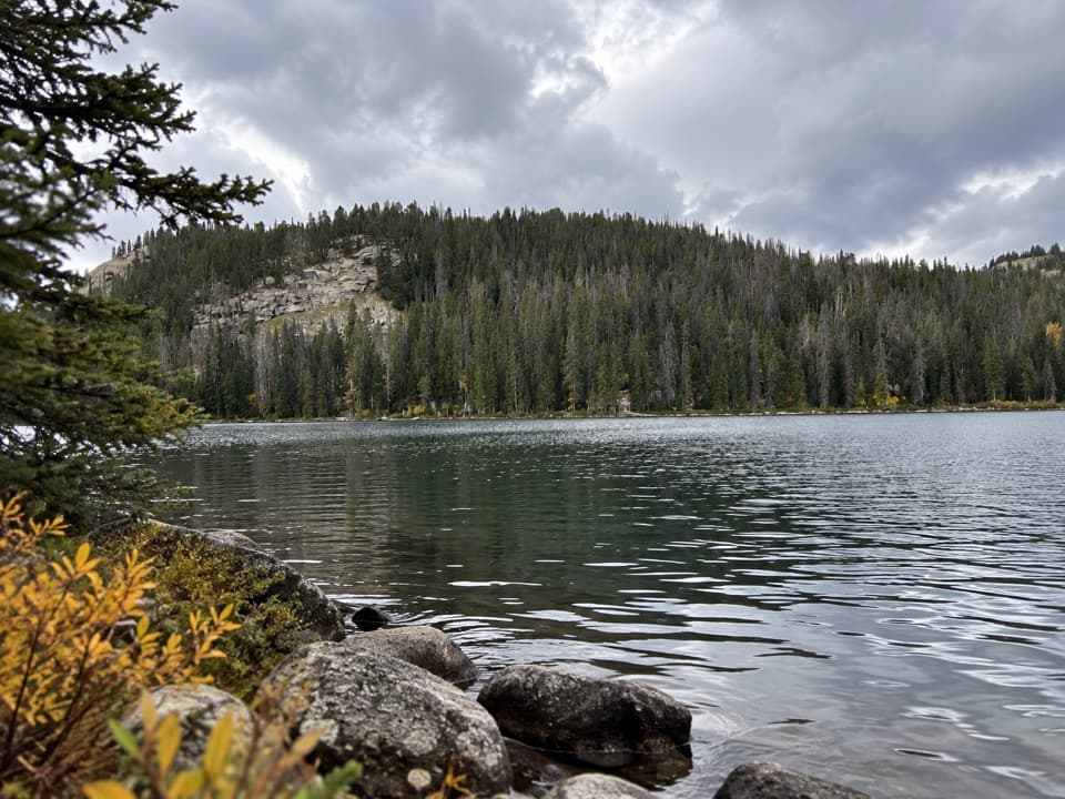
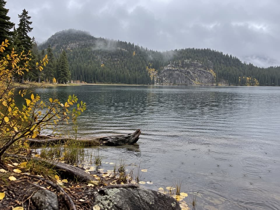 ModerateFox Lake Trail9 mi · 5 hr · 3.4 mi awayA high-country trout lake rewards the long walk from the highway.
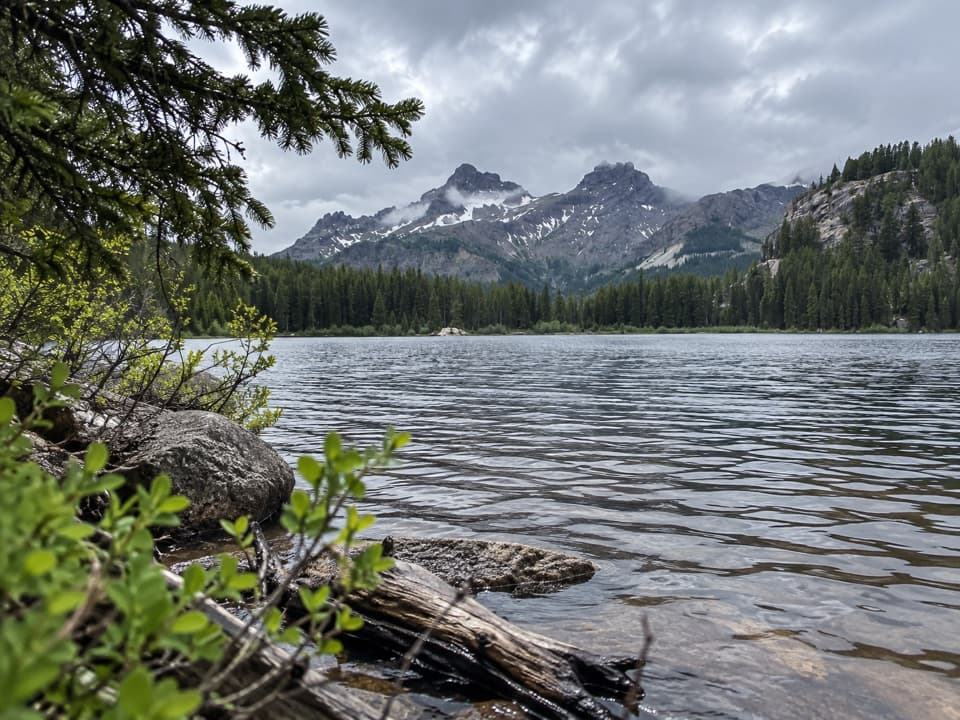 ModerateVernon Lake Trail5.4 mi · 2.8 hr · 3.4 mi awayA lake payoff after one muddy, buggy mile at Clarks Fork.
 ChallengingRussell Creek Trail20 mi · 12 hr · 3.4 mi awayA full-day high-country climb to Fossil Lake and back.
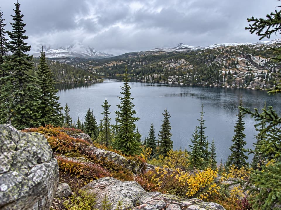 ModerateRock Island Lake Trail6.8 mi · 3.5 hr · 3.4 mi awayMarsh bridges, a Kersey overlook, and a high alpine lake.
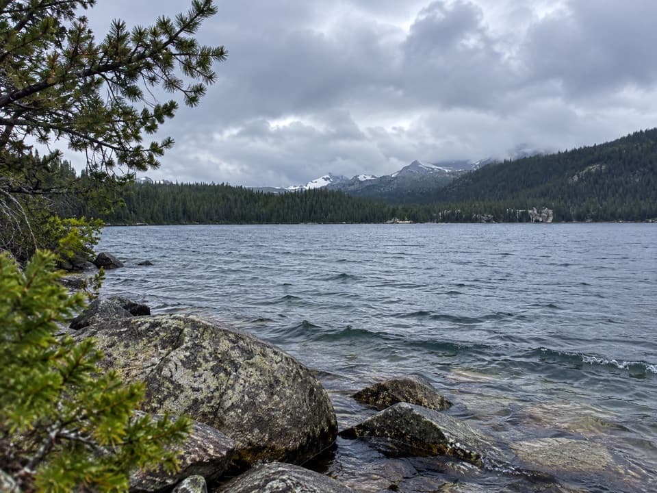 ModerateWidewater Lake Trail11.6 mi · 6.5 hr · 3.4 mi awayA long walk at 8,000 feet to a large trout lake.
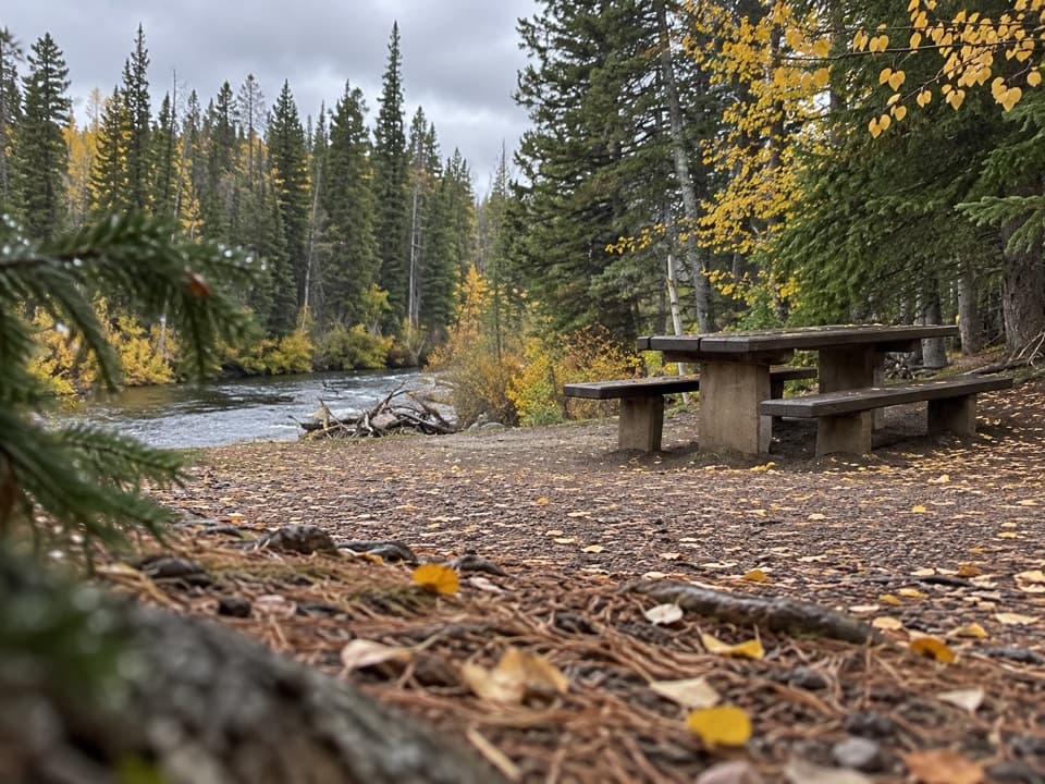 Picnic area · 3.4 mi awayClarks Fork Picnic AreaA riverside pause with a little highway and flume history.
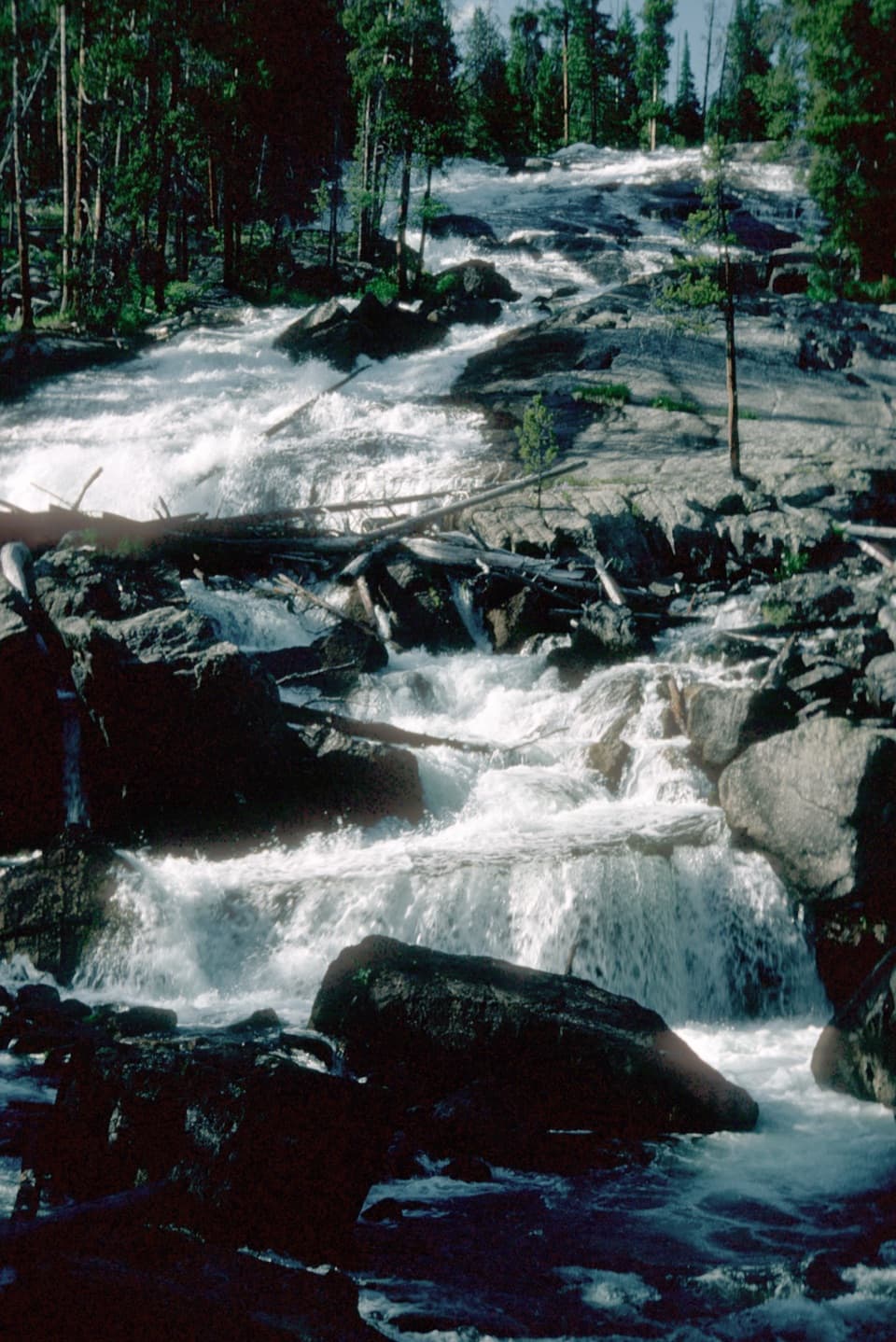 Sight · 3.6 mi awayCrazy Creek FallsA short walk reaches a broad cascade beside the Beartooth Highway.
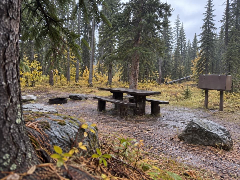 Campground · 3.7 mi awayCrazy Creek CampgroundA 16-site campground on a bluff above its namesake creek.
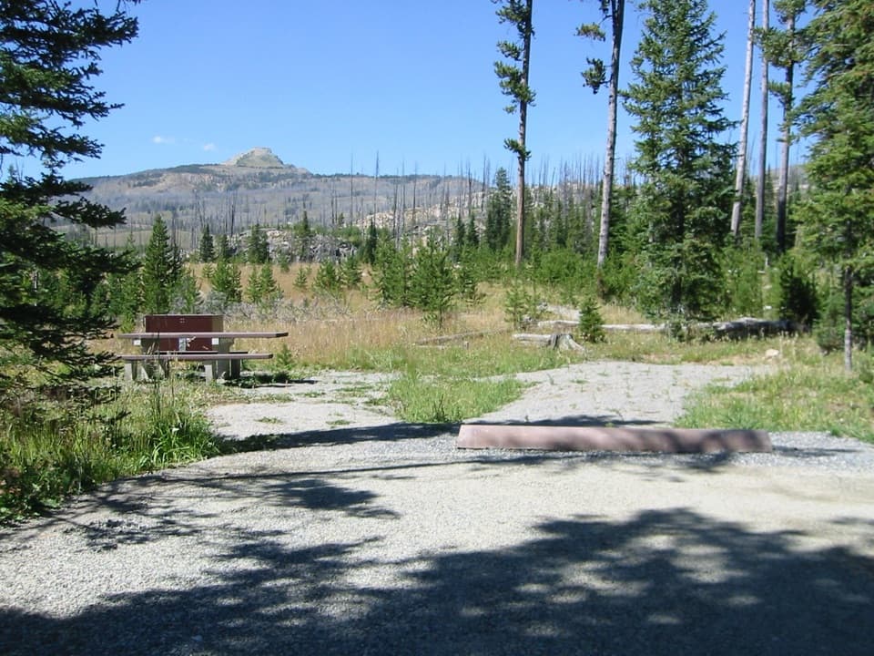 Campground · 4.7 mi awayColter CampgroundA hard-sided-only campground two miles east of Cooke City.
Parkwolf’s Beartooth Highway ranking

The audio tour guide for the drive, plus offline maps, trails, and wildlife heatmaps for when the signal drops.