
All Big Bend trails
45 trails
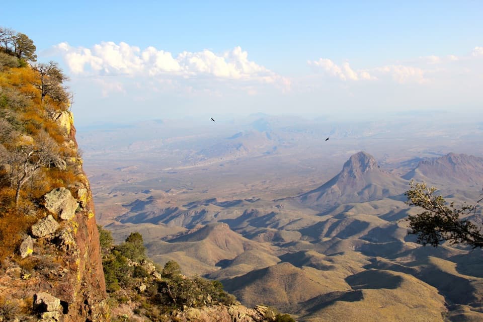 1South Rim TrailA hard climb to the rim, back through Boot Canyon and Pinnacles.
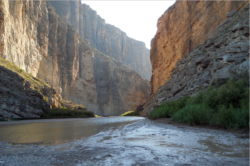 2Santa Elena Canyon TrailCross a shifting creek, then walk beneath towering limestone walls.
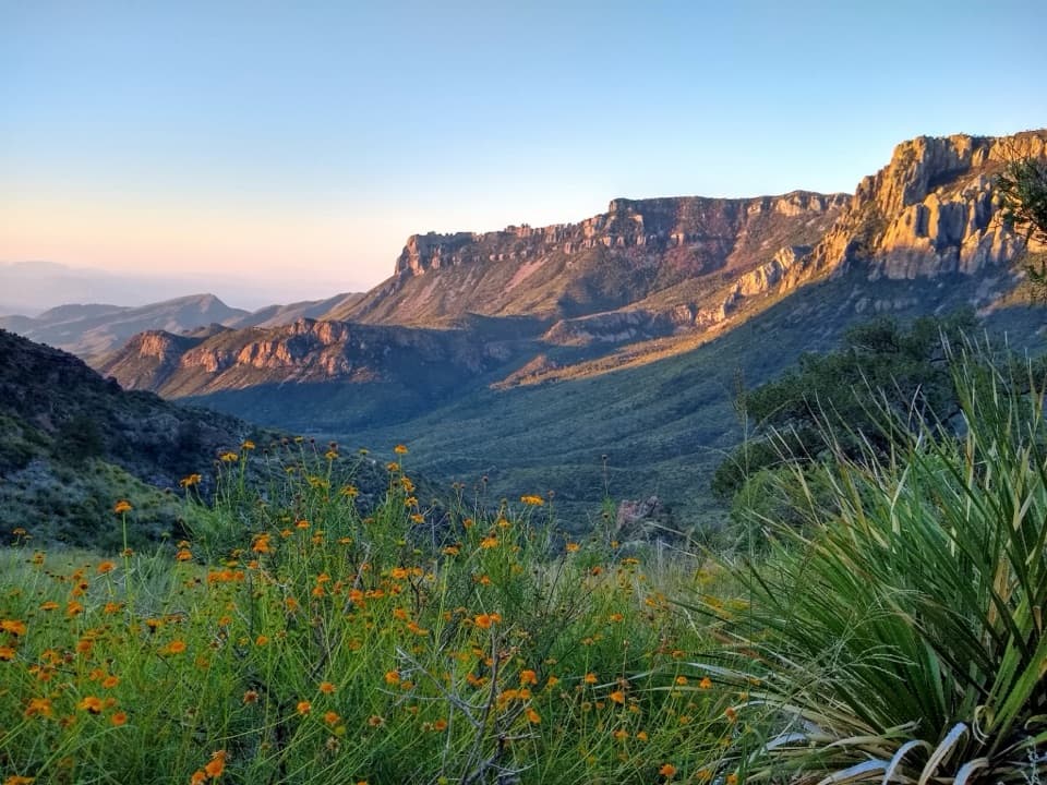 3Lost Mine TrailA stepped climb to a ridge above Juniper Canyon.
 4Emory Peak TrailA full-day climb to Big Bend’s highest summit and wide-open views.
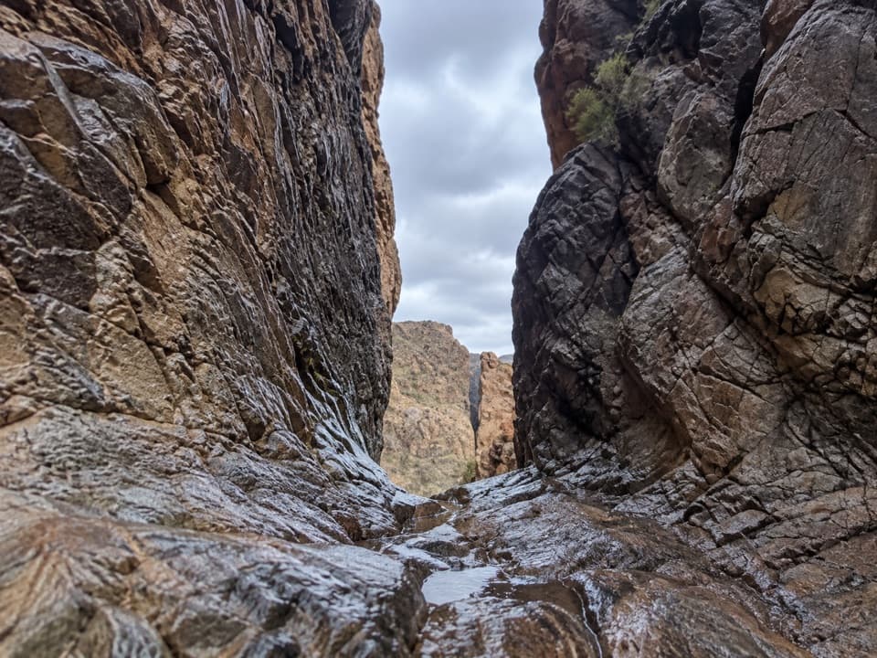 5The Window TrailA 5.5-mile canyon hike with a tough climb back to the Basin.
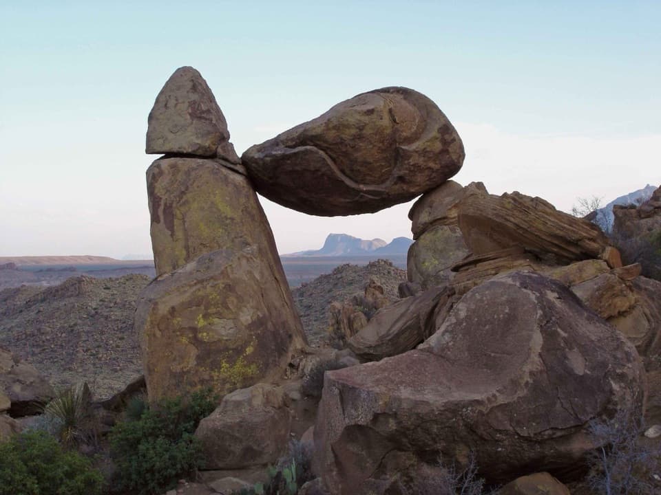 6Grapevine Hills TrailFollow a sandy wash to a boulder balanced above the desert.
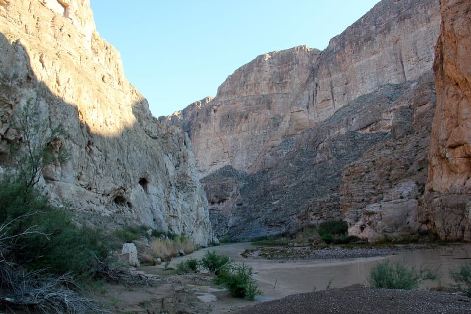 7Boquillas Canyon TrailA short climb opens onto the Rio Grande beneath canyon walls.
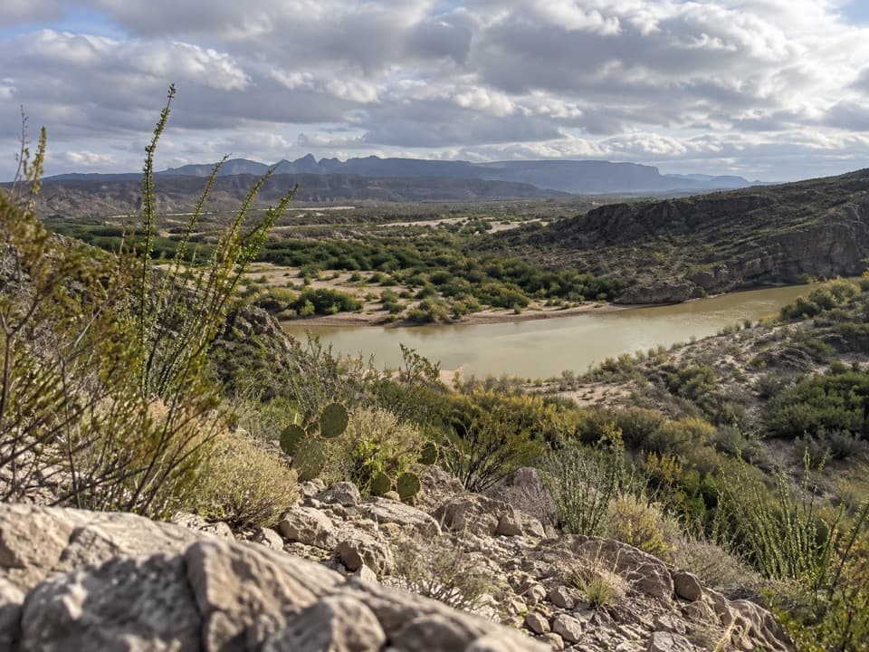 8Rio Grande Village Nature TrailWetland boardwalk and a short ridge loop with Rio Grande views.
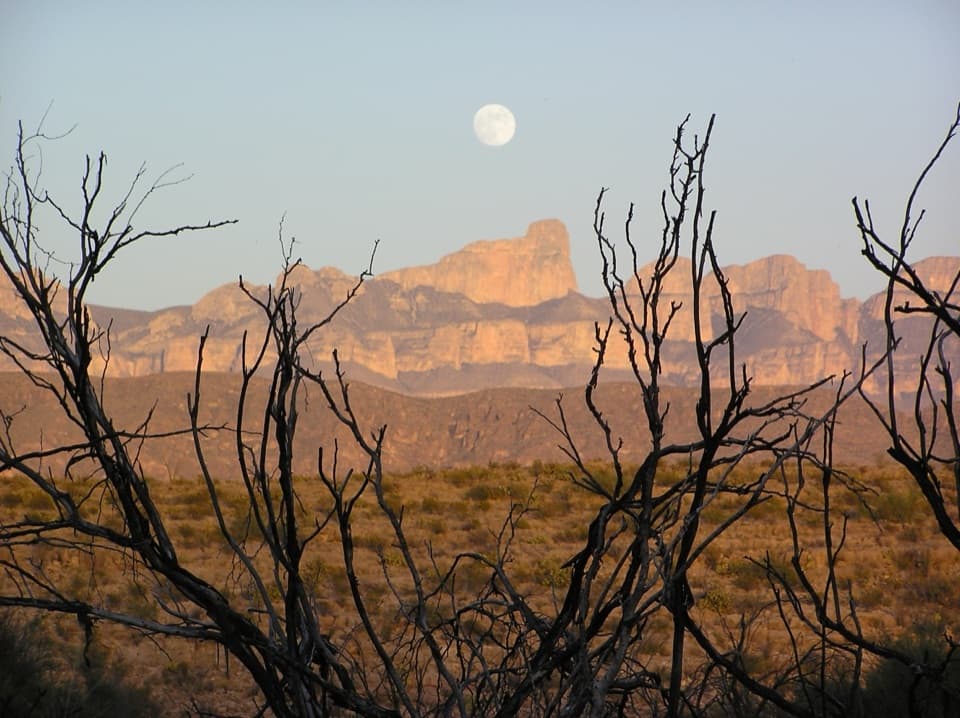 9Marufo Vega TrailA strenuous 14-mile loop with remote canyon and Rio Grande views.
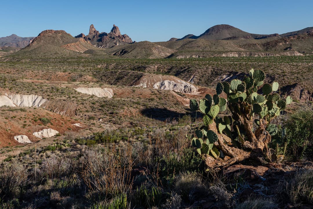
 10Pine Canyon TrailDesert grassland gives way to a shaded canyon and cliff pour-off.
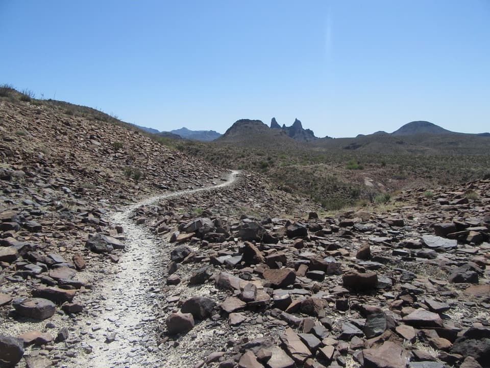 11Mule Ears Spring TrailA rock corral and spring tucked into a desert walk
 12Outer Mountain LoopThree days from Chisos woodland to exposed desert, with no reliable water.
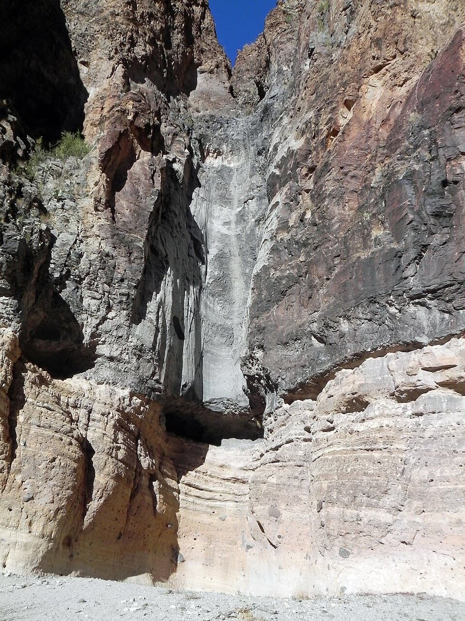 13Lower Burro Mesa Pouroff TrailA short wash walk to a 100-foot rock chute.
 14Cattail Falls TrailA usually small cascade spills into a rare desert oasis.
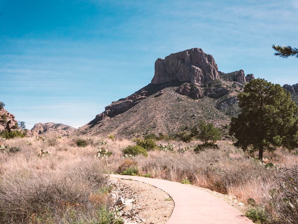 15Window View TrailA paved Basin loop with a clear view through the Window.
 16Chimneys TrailDesert spires and ancient rock art cap this exposed 4.8-mile walk.
 17Boot Canyon TrailA strenuous climb to Boot Canyon’s rare cypress and namesake spire.
 18Entire Rim LoopBoth Chisos rims and Boot Canyon in a full-day loop.
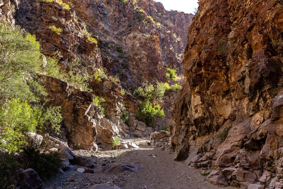 19Upper Burro Mesa Pouroff TrailA sandy wash and boulder scrambles lead to a slick-rock grotto.
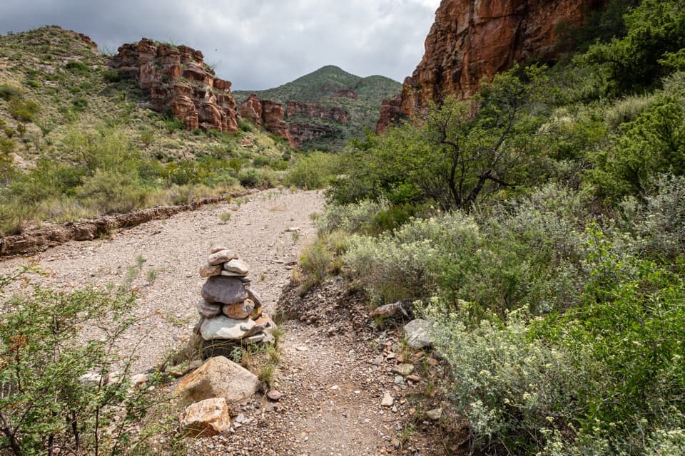 20Blue Creek TrailA red-rock wash walk with a hard climb into the Chisos.
 21Oak Spring TrailThe Window from the west, with a climb and desert views.
 22Dog Canyon TrailA mostly level desert walk to the limestone walls of Dog Canyon.
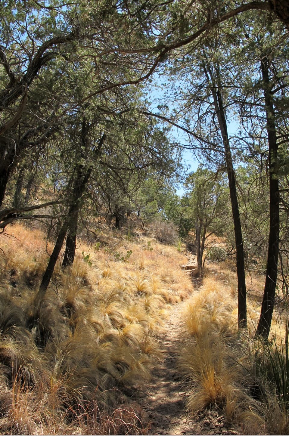 23Chisos Basin Loop TrailA shaded Basin loop with Window views and pine forest.
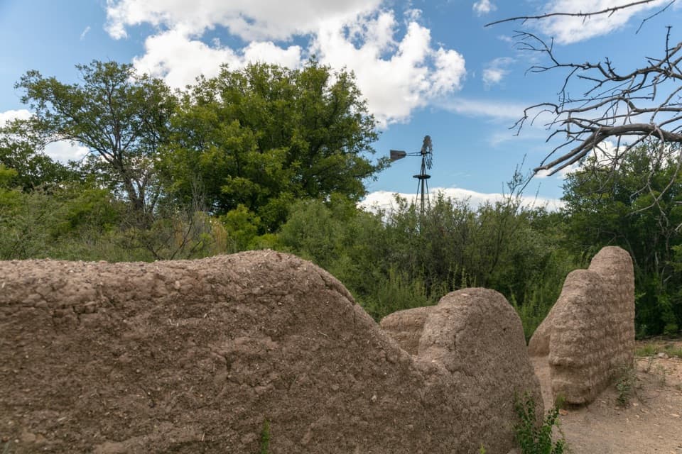 24Sam Nail Ranch TrailA quick homestead loop into a shady desert oasis
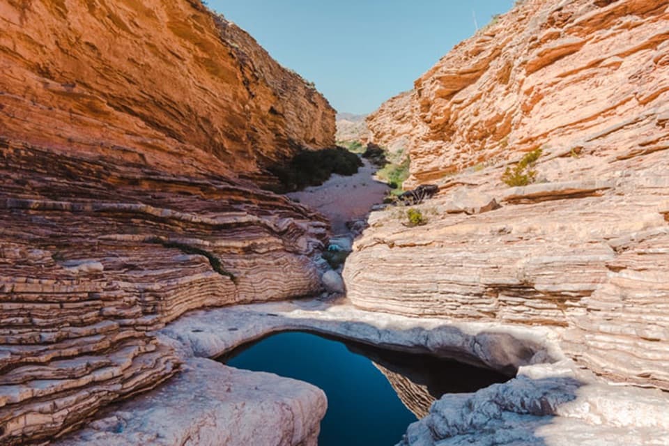 25Ernst Tinaja TrailA short walk to giant oyster fossils and a deep desert pool.
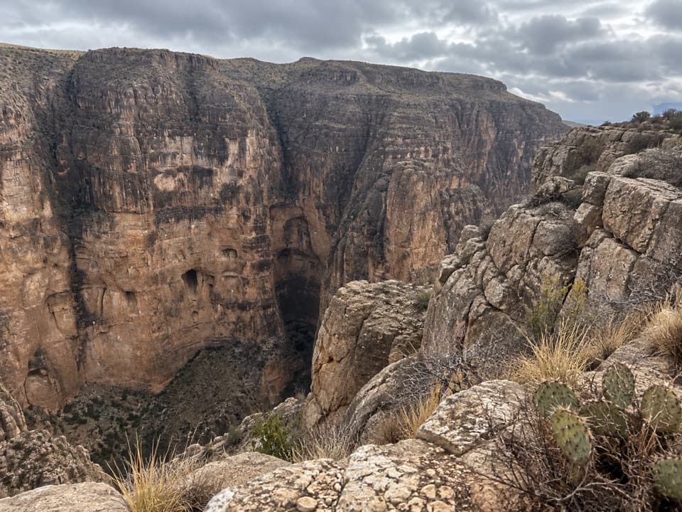 26Mariscal Canyon Rim TrailA remote desert climb to a sudden canyon-rim view.
 27Lone Mountain TrailA sunlit loop around Lone Mountain’s volcanic base.
 28Colima LoopA high-country circuit through Boot Canyon and the Chisos peaks.
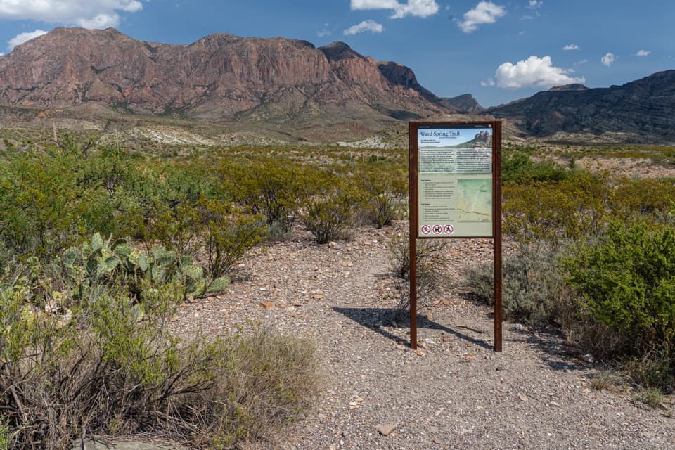 29Ward Spring TrailA rocky walk to a spring beneath a wall of volcanic rock.
 30Dorgan Sublett TrailA quick farmstead walk with a big hilltop view.
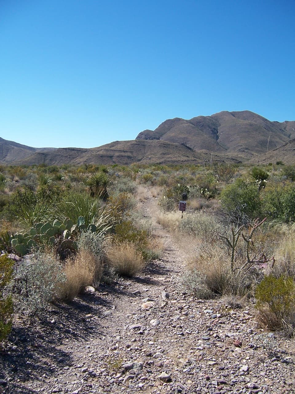 31Juniper Canyon TrailA remote 6.2-mile climb from desert grassland to the High Chisos.
 32Homer Wilson Ranch TrailA steep descent to the ranch line camp below the overlook.
 33Pinnacles TrailA steep, shaded climb to a high pass above the Basin.
 34Laguna Meadow TrailA steady climb into meadow country with views back to the Basin
 35Burro Spring TrailA rocky desert walk to a spring overlook above a green pocket.
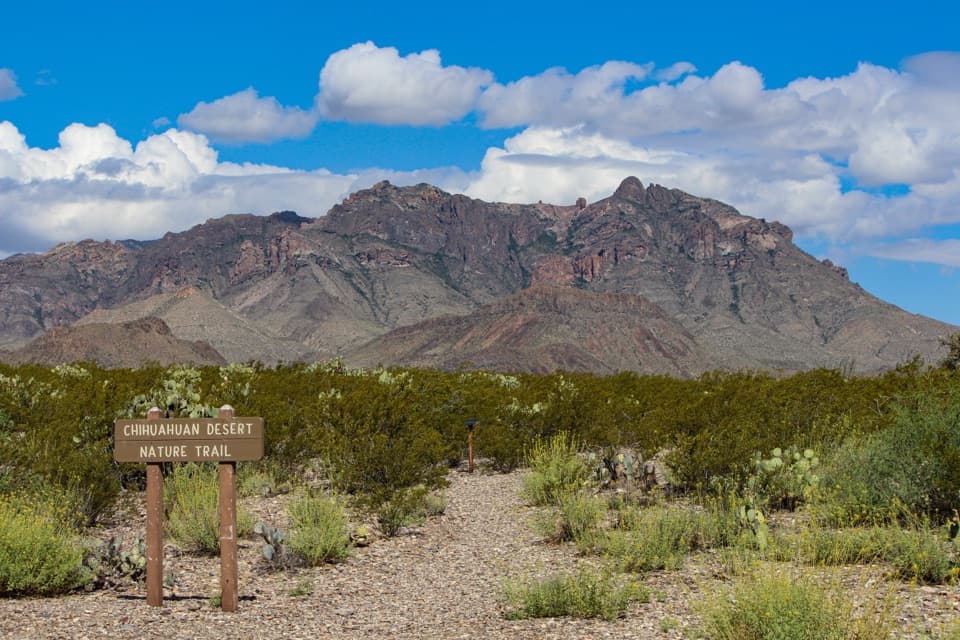 36Chihuahuan Desert Nature TrailA short desert loop puts names to the plants around you.
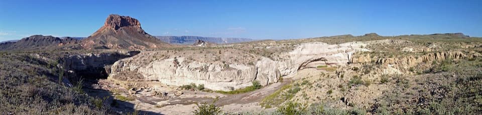 37Tuff Canyon TrailA short rim walk with a clear look at volcanic layers.
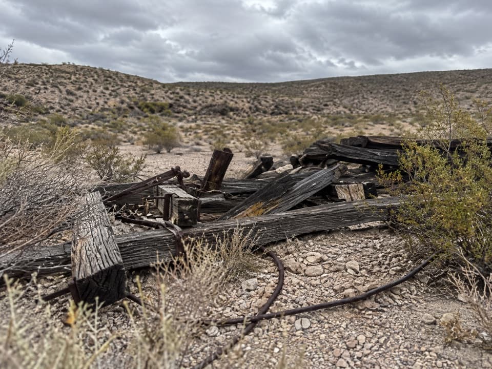 38Ore Terminal TrailFollow the old ore tramway to its ridge-top terminal.
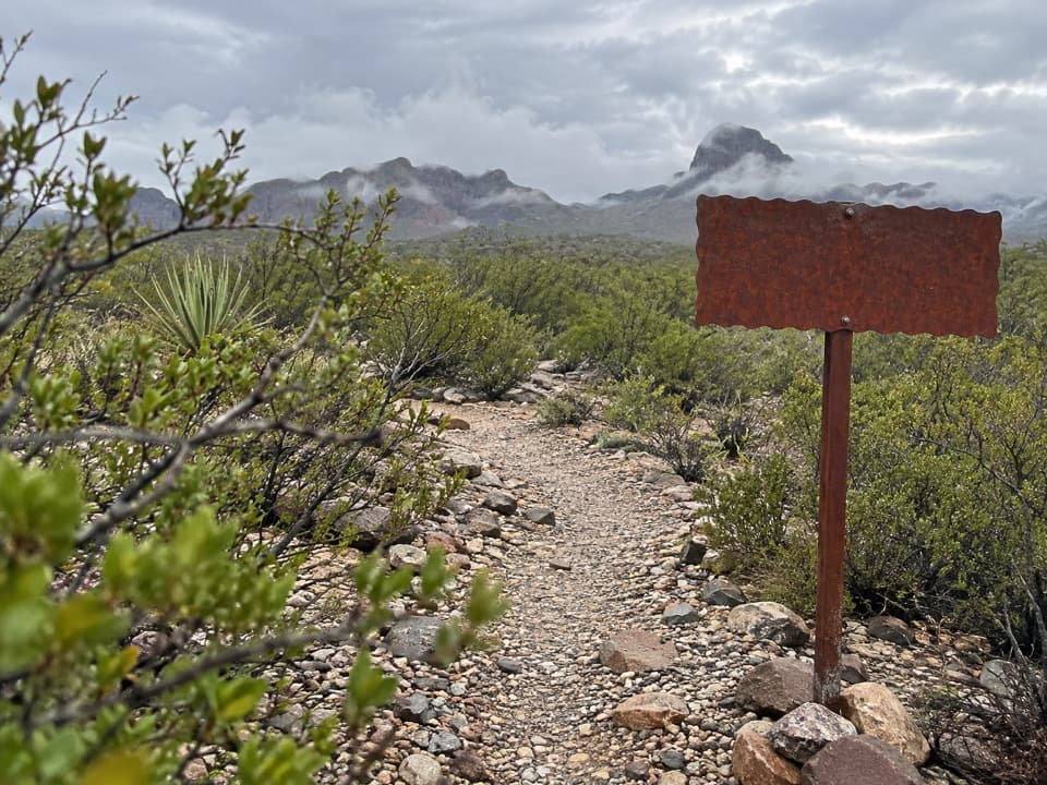 39Elephant Tusk TrailA remote uphill link from the Elephant Tusk trailhead to Dodson.
 40Smoky Creek TrailA long, rough wash walk ending at the Mule Ears overlook.
 41Devil’s Den TrailA narrow limestone slot from a long desert rim walk.
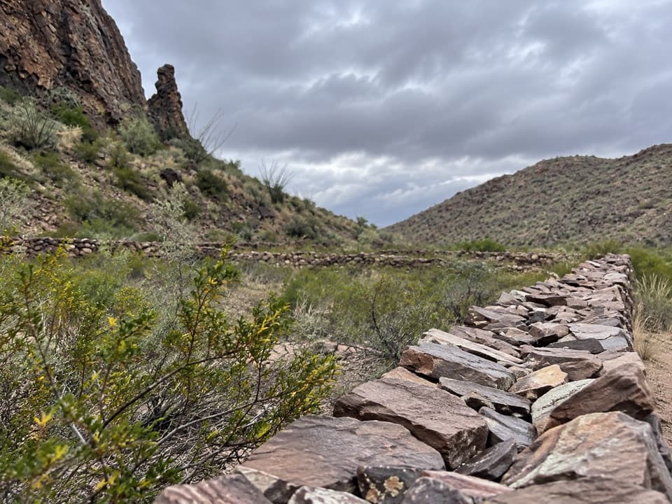 42Apache Canyon Trail to Rock CorralA cairned desert hike ends at Sam Nail's stone corral.
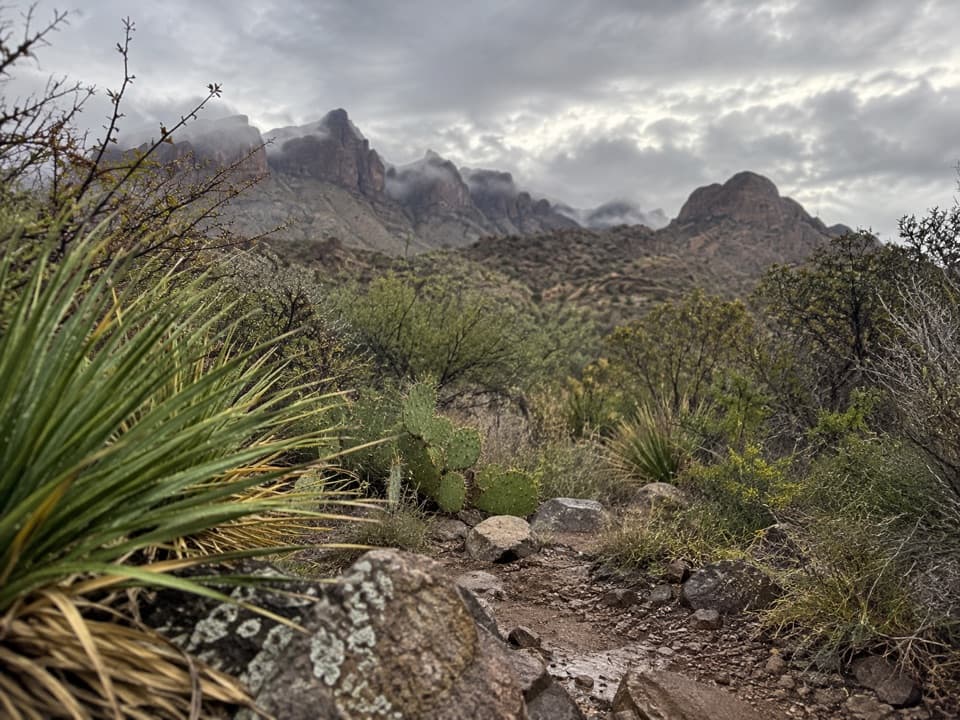 43Dominguez Spring TrailA long desert walk toward springs that often run dry.
 44Croton Spring TrailA short wash walk reaches a spring that sustains desert wildlife.
 45Fossil Discovery Exhibit TrailA short paved climb opens a broad view across fossil-bearing layers.

The highest, rockiest slopes around here are a summer buffet for grizzly bears.
Big Bend Tour Guide
Big Bend, narrated.
Parkwolf is a GPS audio tour guide for Big Bend National Park. As you drive, it chimes in with what’s ahead: hidden gems, upcoming stops, history, geology, and wildlife, right through your car’s speakers.
See the Big Bend audio tourRecorded for this place
Santa Elena Canyon0:00 / 0:33
“You're approaching Santa Elena Canyon, where the Rio Grande runs between limestone walls rising fifteen hundred feet. Stop for the canyon-mouth view even if you don't want a hike.”
Plays as you drive up to Santa Elena Canyon in the Parkwolf Big Bend Tour Guide.
More stories near here in the app
- Santa Elena Canyon River Takeout
- Red Dye Under White Wax
- Dorgan-Sublett Historic Site
- The Seafloor in the Cliffs
- 110 audio storiesacross Big Bend’s roads, triggered by GPS as you drive
- Wildlife heatmapsfor Black Bear, Collared Peccary, White-tailed Deer, and 13 more
- Works offlinemaps, 45 trails, 64 places, and audio download before you lose signal
- CarPlay readysimple controls built for the drive
“Fantastic app with many points of information… It’s great to just turn on while you’re driving and it gives you an audio tour of the national Park. We love it!!!!”

