Challenging

Juniper Canyon Trail

Steep, remote drop from Chisos high country into desert solitude.
Juniper Canyon Trail, Big Bend National Park
Distance6.5 mi
Typical time6 hr
DifficultyChallenging
PetsNot allowed

Overview

This is Big Bend at its wildest: a remote, committing hike that sheds more than 3,000 feet from the high Chisos into the open desert. Expect roughly 6.2–6.7 miles one way (about 6.5 total miles one direction) on rocky, sometimes overgrown singletrack. Most hikers treat Juniper Canyon as a point‑to‑point segment or part of the Outer Mountain Loop rather than a casual out‑and‑back, because the return climb is a beast.

What You’ll See

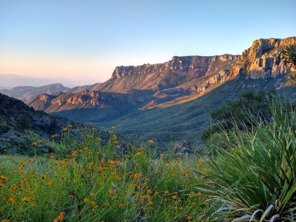
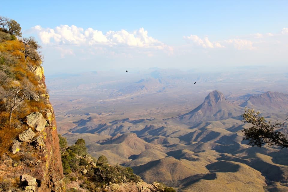
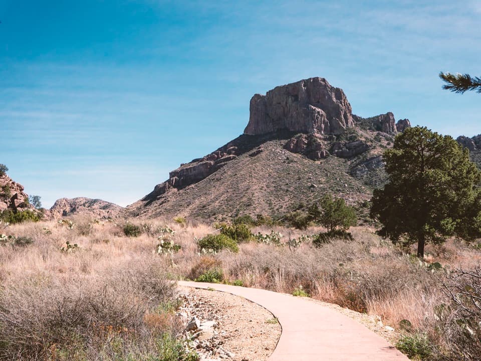
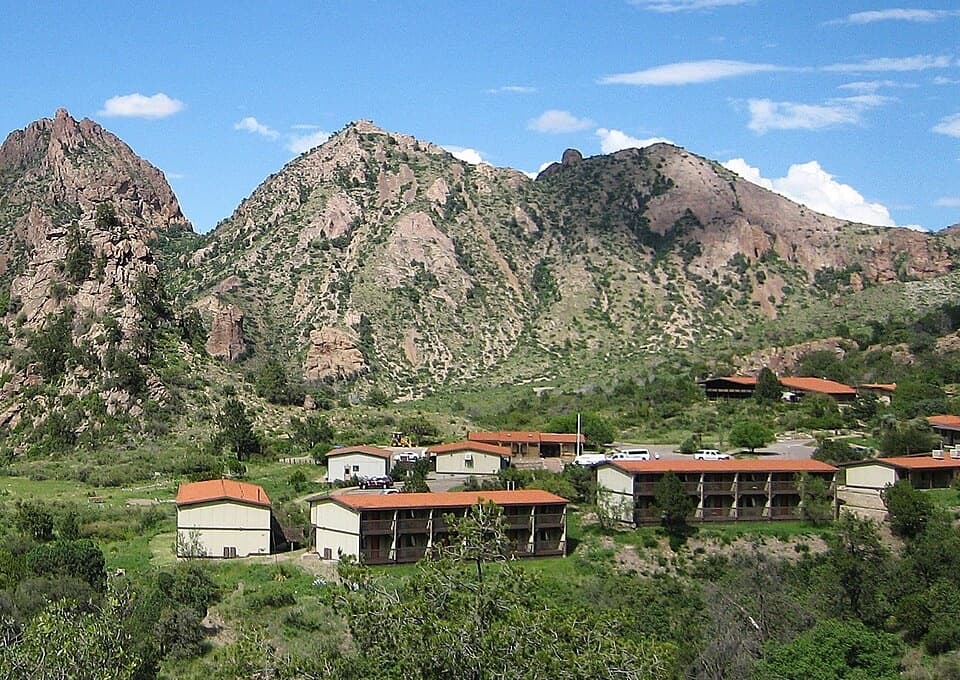
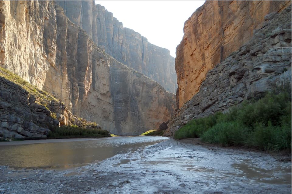
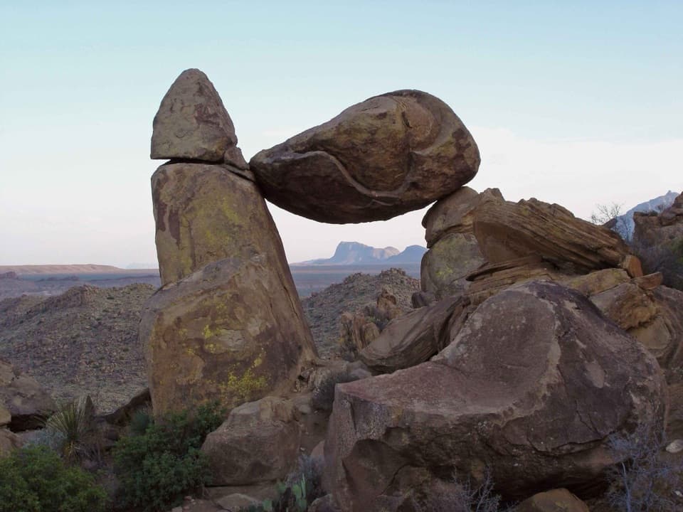
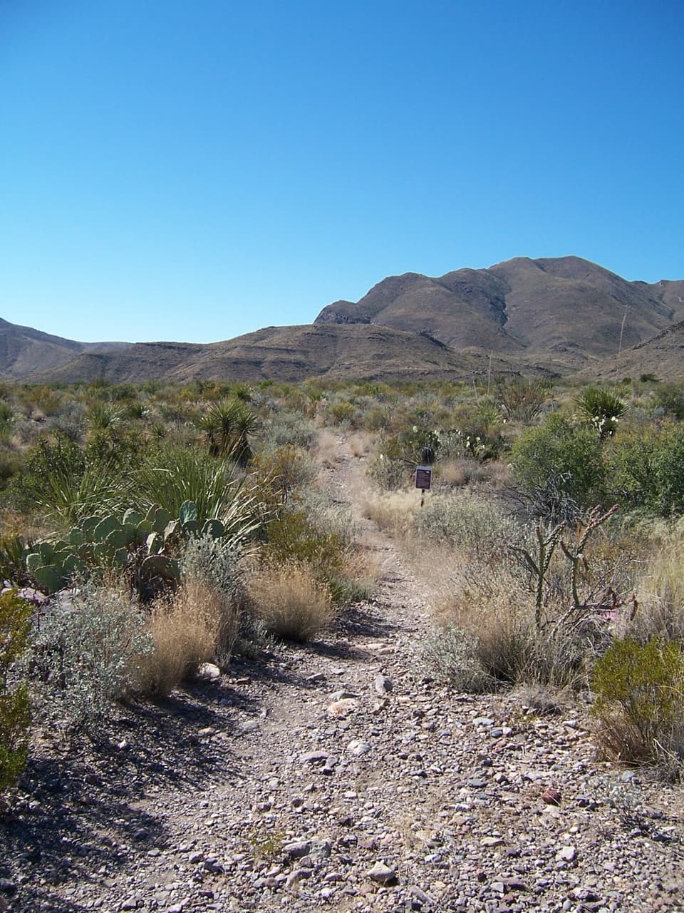
You’ll start amid cooler, shaded forest in the Chisos, then drop through rocky outcrops and dry washes into wide‑open country. The mountain‑to‑desert transition is dramatic: think pine and oak giving way to yucca and flowering cactus. Views open up to Juniper Canyon, Casa Grande, and even the Sierra del Carmen across the border. The route skirts the lower end of Boot Canyon and passes Upper Juniper Spring (often unreliable). Much of the middle/lower stretch is exposed, riding a ridgeline with sweeping vistas and a strong sense of solitude.

Trail Experience

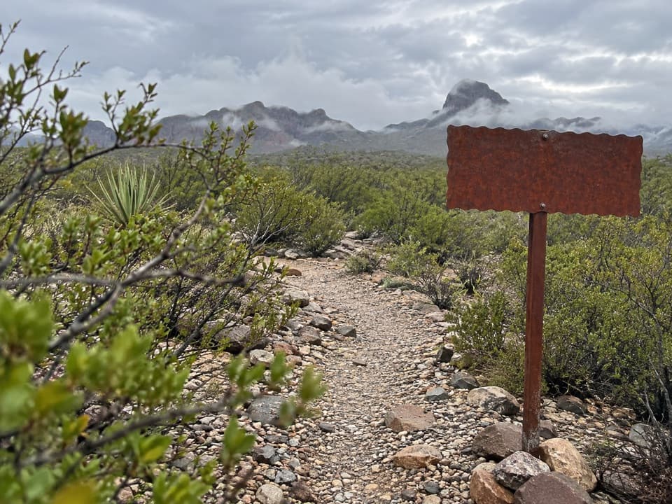
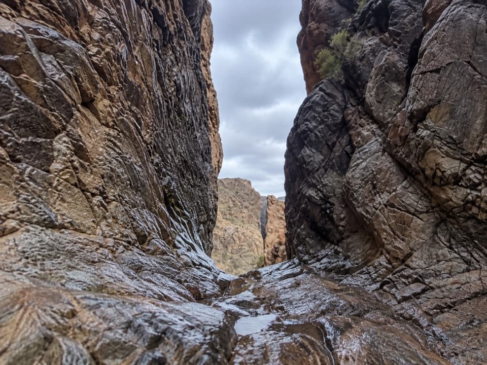
The descent is sustained and steep in places—tough on knees going down and a lung‑burner if you reverse it. After rains, light use can leave sections brushy and scratchy; long pants help. Expect rough footing, loose rock, and stretches through dry washes. Hikers routinely report big views and few people; it’s not unusual to have the canyon to yourself. Wind can rip across exposed ridgelines, and evidence of black bear activity is common in the upper reaches.

Logistics and Access

The lower trailhead is reached via Juniper Canyon Road—a remote, rough backcountry drive that calls for a high‑clearance (ideally 4WD) vehicle, good tires, and self‑reliance. There’s no cell service. The trail meets the Dodson Trail on the desert side, one of the lowest points on the Outer Mountain Loop. Bear boxes at the Dodson junction support caching for backpackers, and backcountry camping requires a permit (day hiking does not). Water is the crux: carry all you need; Upper Juniper Spring may be dry.

Best Time to Hike

Year‑round is possible, but spring, fall, and winter are the smart windows. Summer heat on the lower canyon can be dangerous. Start early for cooler temps and better light on the canyon walls. After wet periods, budget extra time for overgrowth slowing your pace.

Bottom Line

If you crave big scenery, solitude, and a full‑value mountain‑to‑desert traverse, Juniper Canyon delivers in spades. It’s remote, demanding, and logistics‑heavy—best for experienced hikers who come prepared with water, sun protection, offline navigation, and a capable vehicle. Backpackers eyeing the Outer Mountain Loop will find this an essential (and memorable) link.

Pros

  • Dramatic mountain‑to‑desert transition with nonstop, ridgeline views.
  • Reliable solitude on a lightly traveled backcountry segment.

Cons

  • Brushy and overgrown after rains can slow travel and scratch legs.
  • Access requires a rough, high‑clearance road and careful water logistics.

Parking

Lower access at the end of Juniper Canyon Road; very rough, remote backcountry road with light traffic—use a high‑clearance (preferably 4WD) vehicle and do not expect cell service or services at the trailhead.

Caution

No reliable water (Upper Juniper Spring may be dry); long exposed stretches with intense sun and wind; steep, sustained elevation change; rough footing; overgrowth after rains; remote setting with no cell service; bear activity reported—use standard precautions; carry offline maps and be fully self‑sufficient.

The Parkwolf tour guide sitting on a phone mounted in a car

Parkwolf Tour Guide

Like a tour guide in your car.

Bring Big Bend trail research into the car, with offline maps and stories that play as you drive.Download Parkwolf on the App Store