Parking
Boat access only; arrive at the island's cleated bulkhead. The trail starts just east of the restrooms by the harbor.

#2 of 9 trails in Biscayne
Biscayne National Park, FL
A short loop through island woods to Boca Chita's south shore.
Overview
Map & elevation
Plan your hike

The highest, rockiest slopes around here are a summer buffet for grizzly bears.
Biscayne Tour Guide
Parkwolf is a GPS audio tour guide for Biscayne National Park. As you drive, it chimes in with what’s ahead: hidden gems, upcoming stops, history, geology, and wildlife, right through your car’s speakers.
“Fantastic app with many points of information… It’s great to just turn on while you’re driving and it gives you an audio tour of the national Park. We love it!!!!”


Trail guide
Boca Chita Trail is an easy, roughly 0.7-mile loop on Boca Chita Key. Start just east of the restrooms, follow a short access stretch to the southern perimeter path, then circle back toward the harbor. The route crosses the wooded south end and reaches a small beach facing Sands Key. You walk the short access stretch twice to finish where you began. Allow about 20 to 30 minutes, including time at the water.
Most of the path is broad and unpaved, with grass alternating with sand and gravel. A small bridge has three steps at each end, so this is not a fully step-free walk. Informal tracks branch toward the water; the main route is wide enough to follow without treating every side path as part of the trail.
The beach is the payoff: pale sand, mangroves at the water's edge and a view across the bay toward Sands Key. This is a quick island walk, not a long wilderness hike. If you are already ashore, it is an easy way to see more than the harbor and its historic buildings.
The 65-foot Boca Chita lighthouse stands beside the harbor near the start of the walk. Mark Honeywell built it in the 1930s; it was a decorative landmark rather than a working navigational light. The tower is separate from the trail, and reaching its observation deck means climbing stairs. Park staff may open it when they are on the island.
Boca Chita is reachable only by boat. There is no drinking water or food sales on the island, so bring what you need and pack out your trash. Mosquitoes are present year-round; repellent is useful. Pets other than service animals are not allowed on the island or on boats in the harbor.
Wildlife
 201 sightingsWest Indian ManateeMost seen around 7 AMSighting map
 154 sightingsAmerican CrocodileMost seen around 6 PMSighting map
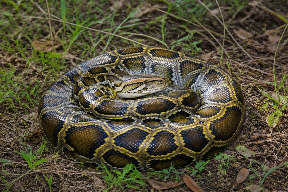 15 sightingsBurmese PythonMost seen around 6 PMSighting map
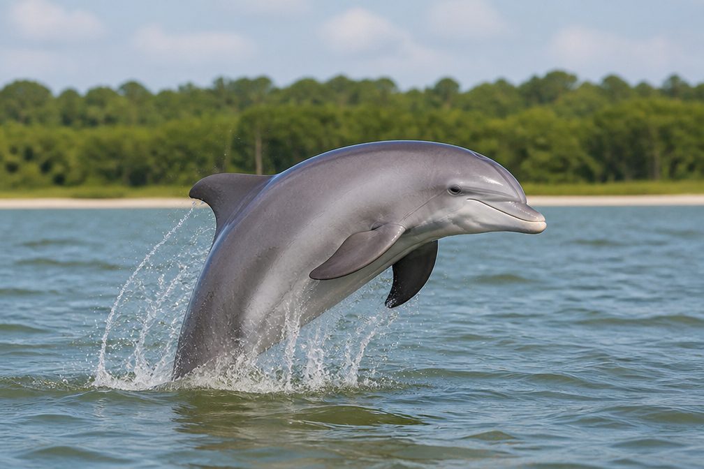 17 sightingsTamanend's Bottlenose DolphinMost seen around 7 PMSighting map
 23 sightingsBald EagleMost seen around 7 AMSighting map
 146 sightingsGreat BarracudaMost seen around 6 PMSighting map
Sighting maps show where each species has been reported across Biscayne. Wildlife moves, so no sighting is guaranteed.
Keep exploring
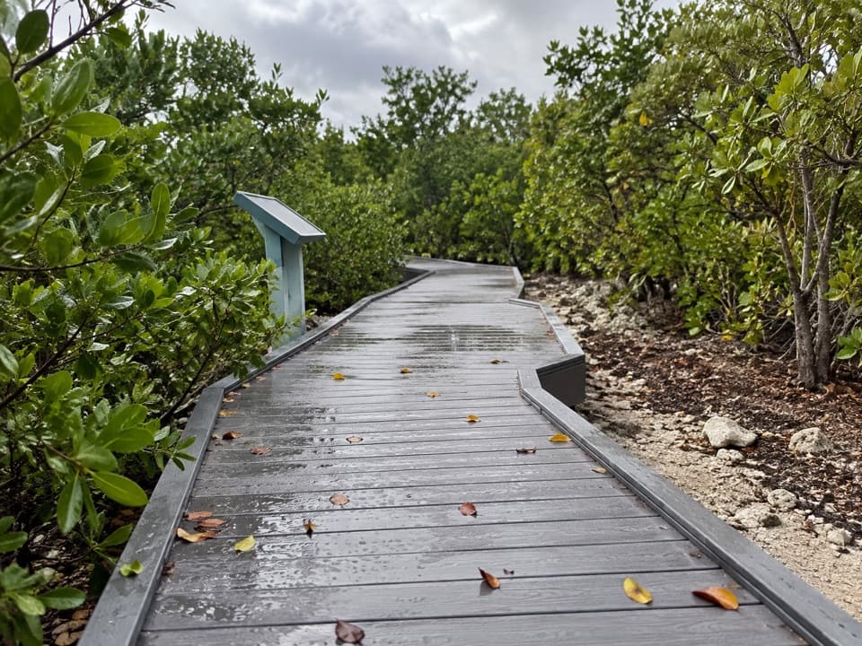 EasyElliott Key Nature Trail1 mi · 45 min · 4.9 mi awayA short island walk from hammock shade to Atlantic boardwalk
 ModerateSpite Highway Trail15.8 mi · 7.5 hr · 5.1 mi awayA bulldozed highway cut now shelters a tunnel of tropical forest.
 EasyAdams Key Loop Trail1 mi · 30 min · 9.5 mi awayA shaded island loop through a former presidential retreat.
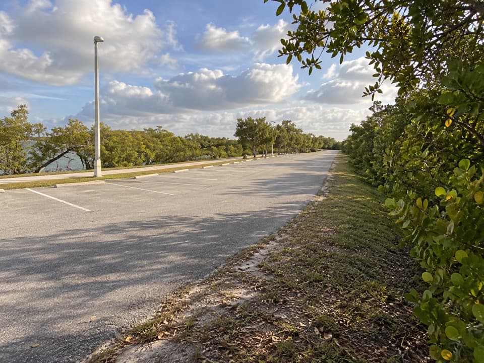 EasyBlack Creek Trail8.7 mi · 4 hr · 9.6 mi awayA long canal path from a bayfront marina into suburban Miami.
 EasyBlack Point Jetty Trail1.7 mi · 1 hr · 9.7 mi awayAn easy marina walk onto a sandy jetty and into Biscayne Bay.
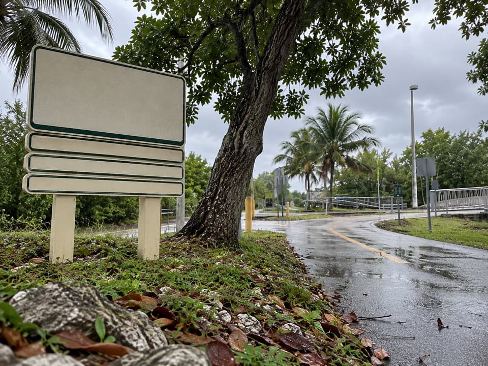 EasyBiscayne Trail2.7 mi · 1.2 hr · 9.8 mi awayA 2.7-mile county path links Black Point Marina to Old Cutler Road.
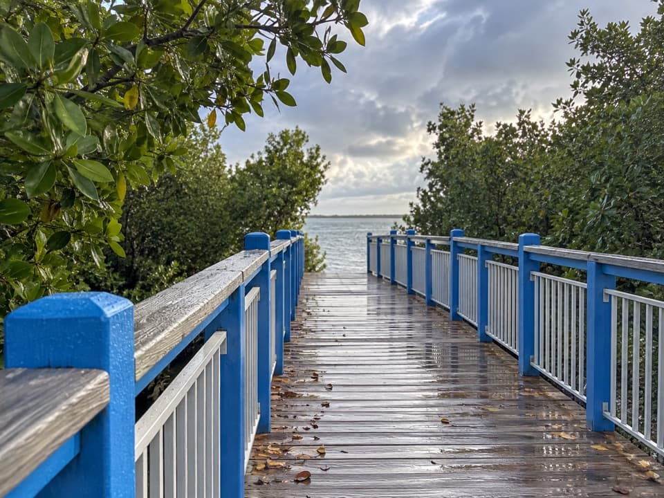 EasyConvoy Point Jetty Walk0.8 mi · 30 min · 10.8 mi awayMangroves, shallow bay water, and a jetty with history.
 EasyBiscayne-Everglades Greenway1.8 mi · 1 hr · 11.5 mi awayFollow a flat canal path to Biscayne Bay.
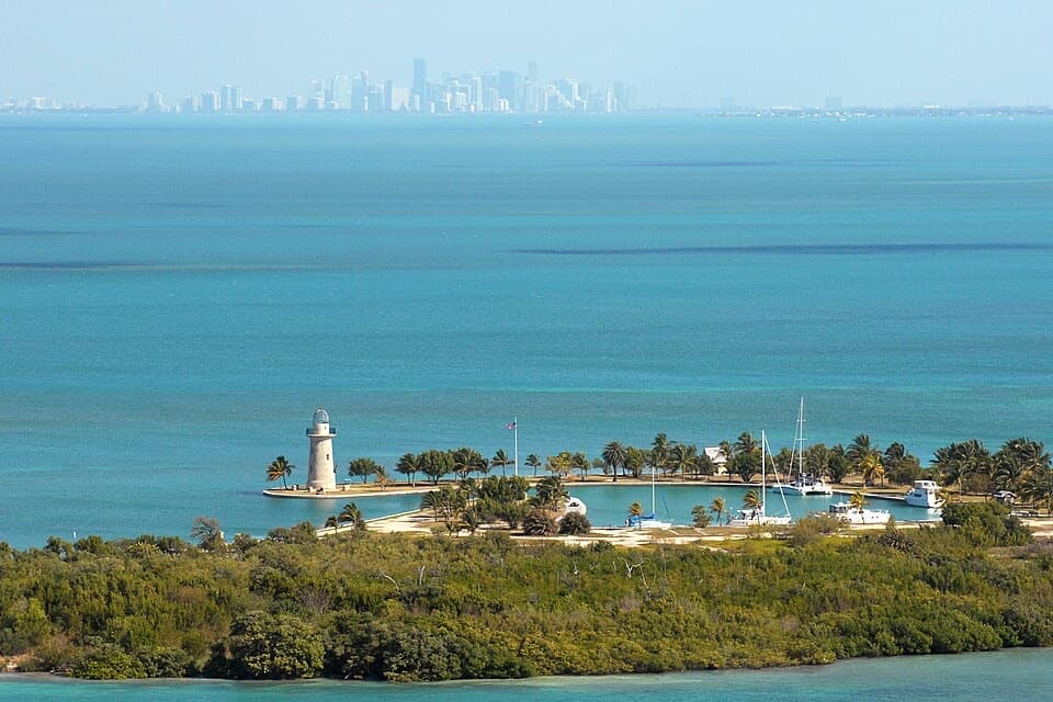 Sight · 0.1 mi awayBoca Chita KeyA 1930s lighthouse getaway worth making a day of by boat.
 Campground · 0.2 mi awayBoca Chita Key CampgroundRustic boat-in camping by a landmark lighthouse and island trail.
 Sight · 3.1 mi awayBache ShoalAn offshore reef stop for snorkeling and shallow-water diving.
 Sight · 3.5 mi awayTracy ReefA shallow-water reef stop with a designated boat mooring.
 Sight · 4.5 mi awayStar ReefThree moorings mark reef water from 16 to 57 feet.
 Campground · 5.1 mi awayElliott Key CampgroundBoat in for island camping; bring repellent for biting insects.
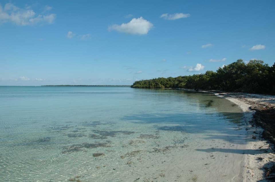 Sight · 5.1 mi awayElliott KeyA boat-only island with a shaded trail between bay and ocean.
 Sight · 5.1 mi awayLedbury ReefThree marked moorings define this offshore reef stop for boaters.
Parkwolf’s Biscayne ranking

The audio tour guide for the drive, plus offline maps, trails, and wildlife heatmaps for when the signal drops.