Parking
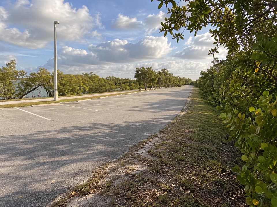
Use Black Point Park & Marina for the south-end start; parking is available there. The north end is at SW 176th Street and SW 137th Avenue, so arrange pickup or plan the return before starting.
#9 of 9 trails in Biscayne
Biscayne National Park, FL
A long canal path from a bayfront marina into suburban Miami.
Overview
Map & elevation
Plan your hike

The highest, rockiest slopes around here are a summer buffet for grizzly bears.
Biscayne Tour Guide
Parkwolf is a GPS audio tour guide for Biscayne National Park. As you drive, it chimes in with what’s ahead: hidden gems, upcoming stops, history, geology, and wildlife, right through your car’s speakers.
Recorded for this trailhead
Black Point Marina“Black Point Marina is coming up, a county waterfront park where you can stop for a meal and spend some time beside the bay.”
Plays as you drive up to this trailhead in the Parkwolf Biscayne Tour Guide.
More stories near here in the app
“Fantastic app with many points of information… It’s great to just turn on while you’re driving and it gives you an audio tour of the national Park. We love it!!!!”


Trail guide
Black Creek Trail follows the C-1 Canal for about 8.7 miles one way, from Black Point Park & Marina to SW 176th Street at SW 137th Avenue. It is a mostly flat, paved shared-use route, not a loop. Depending on how the ends are measured, route descriptions fall between about 8.4 and 9.3 miles. Allow roughly four hours to walk it one way, and arrange a ride at the far end; walking back makes it close to a 17-mile day.
From the marina the path heads northwest beside the canal, with short connector sections and several major-road crossings. The first stretch has open water and mangroves; farther inland the route runs through residential and commercial parts of Miami. It is mostly smooth asphalt with little climbing, so the length and intersections are the main work. There is no summit or single overlook at the far end; the appeal is the continuous canal walk and subtropical waterside scenery. Birds and iguanas have been reported along the water, but any wildlife sighting is a bonus.
Black Point Park & Marina is the south-end access, with parking, restrooms and the waterside Black Point Ocean Grill. The north end is at SW 176th Street and SW 137th Avenue, near but not inside Larry & Penny Thompson Park. No dependable mid-route water refill was identified, and long sections are exposed to sun, so carry enough water for the full walk. Busy road crossings need attention. The pet rule for the full county route and marina access was not confirmed; check before bringing a dog.
Wildlife
 201 sightingsWest Indian ManateeMost seen around 7 AMSighting map
 154 sightingsAmerican CrocodileMost seen around 6 PMSighting map
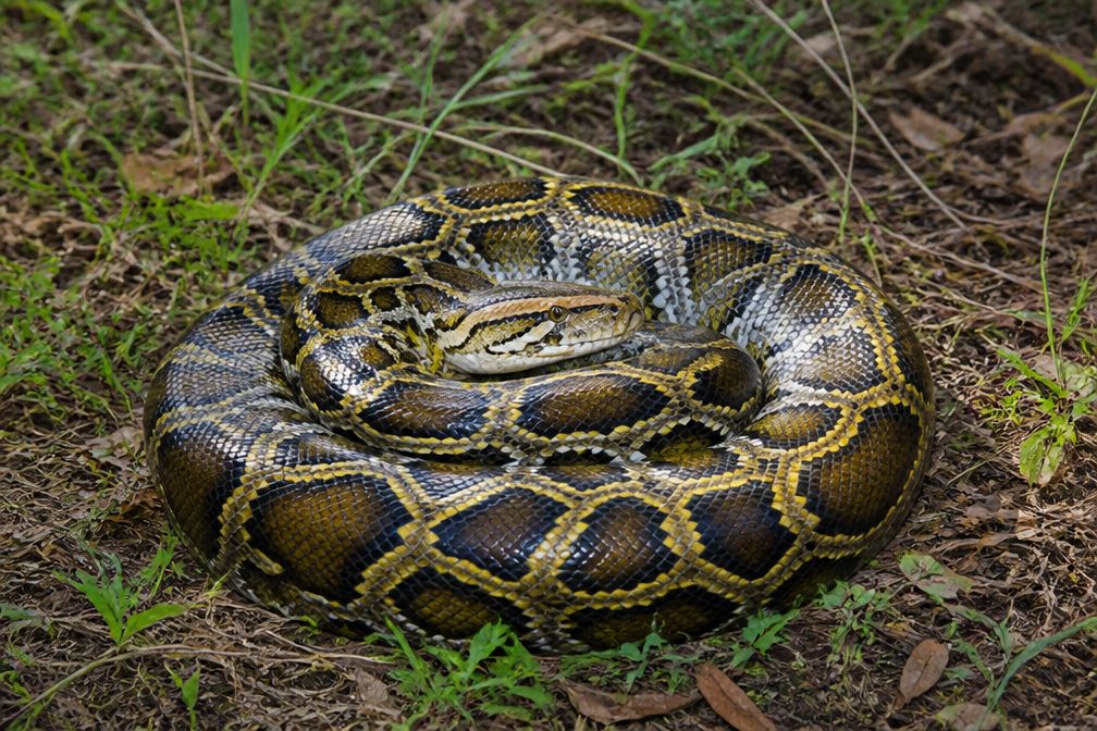 15 sightingsBurmese PythonMost seen around 6 PMSighting map
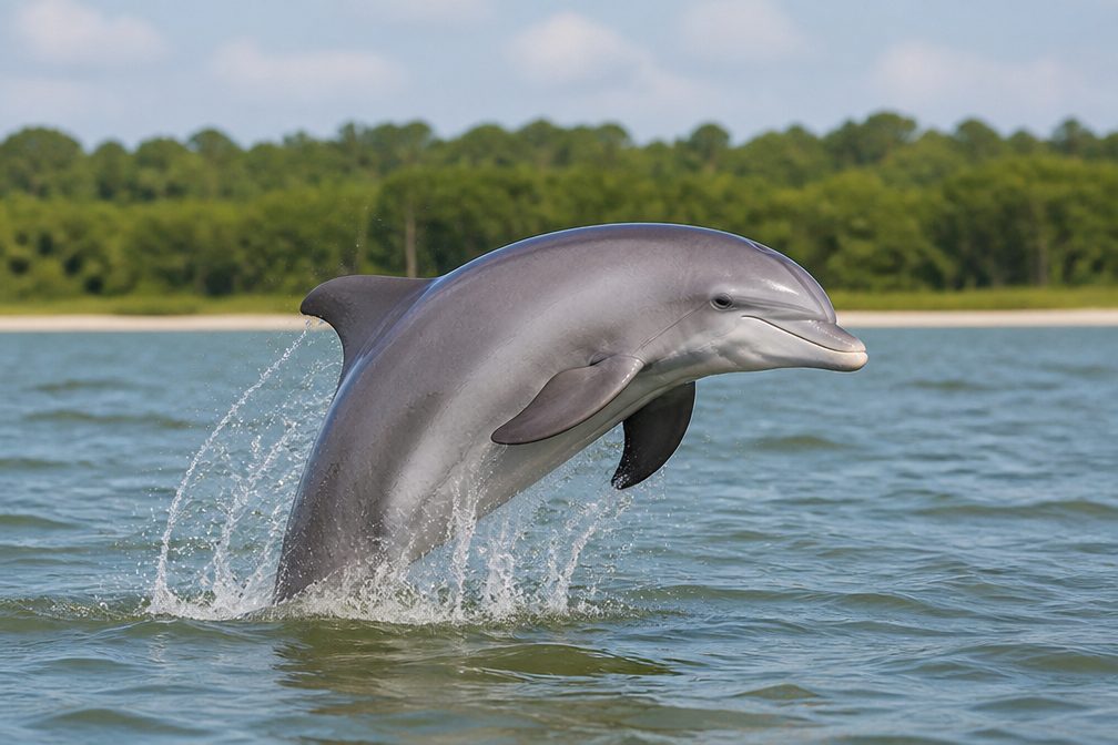 17 sightingsTamanend's Bottlenose DolphinMost seen around 7 PMSighting map
 23 sightingsBald EagleMost seen around 7 AMSighting map
 146 sightingsGreat BarracudaMost seen around 6 PMSighting map
Sighting maps show where each species has been reported across Biscayne. Wildlife moves, so no sighting is guaranteed.
Keep exploring
 EasyBlack Point Jetty Trail1.7 mi · 1 hr · 0.1 mi awayAn easy marina walk onto a sandy jetty and into Biscayne Bay.
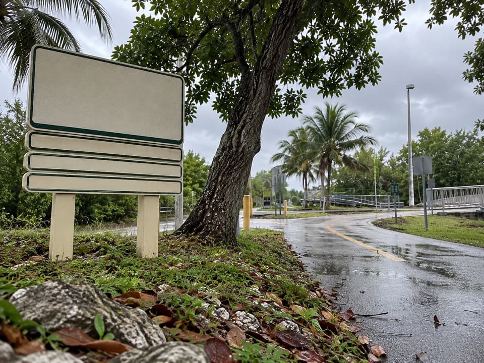 EasyBiscayne Trail2.7 mi · 1.2 hr · 0.2 mi awayA 2.7-mile county path links Black Point Marina to Old Cutler Road.
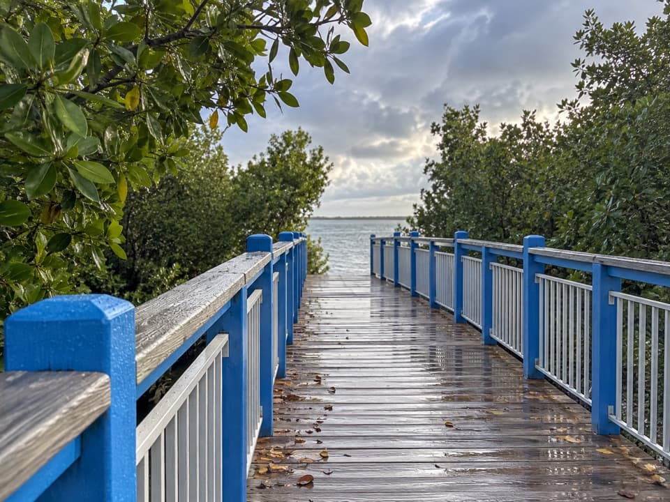 EasyConvoy Point Jetty Walk0.8 mi · 30 min · 5.2 mi awayMangroves, shallow bay water, and a jetty with history.
 EasyBiscayne-Everglades Greenway1.8 mi · 1 hr · 5.4 mi awayFollow a flat canal path to Biscayne Bay.
 EasyBoca Chita Trail0.7 mi · 30 min · 9.6 mi awayA short loop through island woods to Boca Chita's south shore.
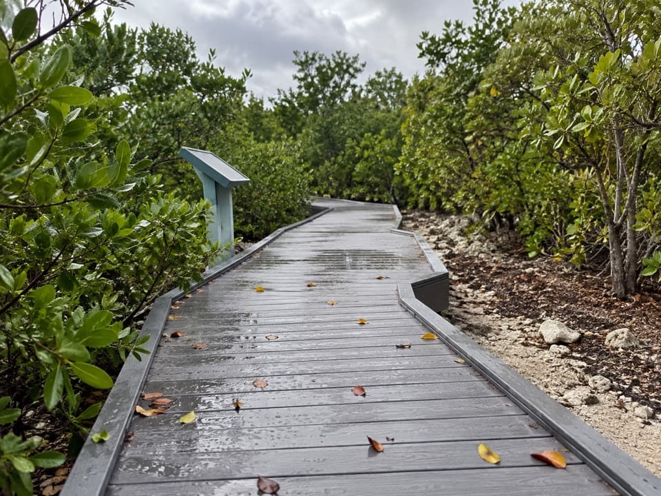 EasyElliott Key Nature Trail1 mi · 45 min · 10.1 mi awayA short island walk from hammock shade to Atlantic boardwalk
 ModerateSpite Highway Trail15.8 mi · 7.5 hr · 10.4 mi awayA bulldozed highway cut now shelters a tunnel of tropical forest.
 EasyAdams Key Loop Trail1 mi · 30 min · 11.5 mi awayA shaded island loop through a former presidential retreat.
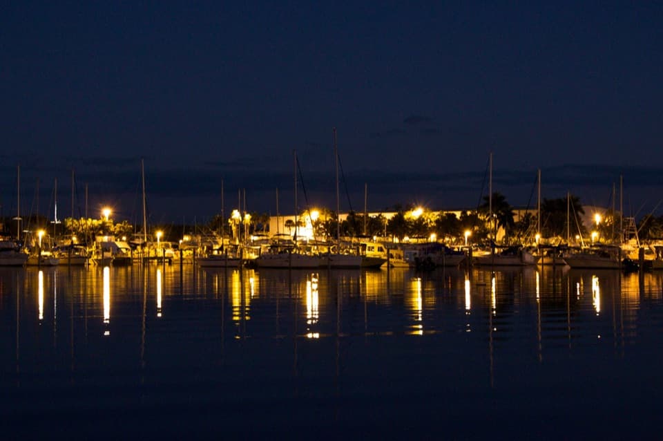 Sight · At the trailheadBlack Point MarinaA working marina and bayfront park with a 1.5-mile fishing jetty.
 Visitor center · 5.2 mi awayDante Fascell Visitor CenterA mainland base for boat trips, ecosystem exhibits, and mangroves.
 Sight · 5.4 mi awayHomestead Bayfront Park and Herbert Hoover MarinaLaunch straight into Biscayne, then cool off at an atoll beach.
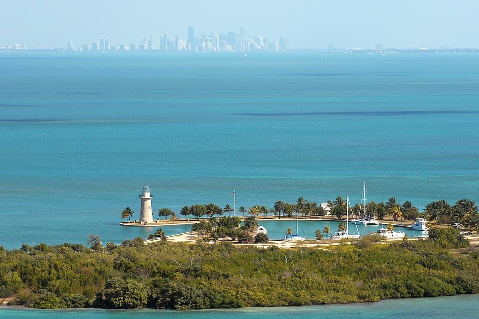 Sight · 9.5 mi awayBoca Chita KeyA 1930s lighthouse getaway worth making a day of by boat.
 Campground · 9.6 mi awayBoca Chita Key CampgroundRustic boat-in camping by a landmark lighthouse and island trail.
Parkwolf’s Biscayne ranking

The audio tour guide for the drive, plus offline maps, trails, and wildlife heatmaps for when the signal drops.