Parking
A gravel roadside parking area is reported on SW 328th Street west of the Biscayne entrance. From there, cross the canal, circle the roundabout, and take the short gravel connector by the information kiosk to the gate and trail.

#7 of 9 trails in Biscayne
Biscayne National Park, FL
Follow a flat canal path to Biscayne Bay.
Overview
Map & elevation
Plan your hike

The highest, rockiest slopes around here are a summer buffet for grizzly bears.
Biscayne Tour Guide
Parkwolf is a GPS audio tour guide for Biscayne National Park. As you drive, it chimes in with what’s ahead: hidden gems, upcoming stops, history, geology, and wildlife, right through your car’s speakers.
Recorded for this trailhead
Biscayne-Everglades Greenway Access“You're coming up on the Biscayne-Everglades Greenway access near the park entrance. The short canal walk here leads to the bay, then returns the same way: one point eight miles in all, taking about an hour.”
Plays as you drive up to this trailhead in the Parkwolf Biscayne Tour Guide.
More stories near here in the app
“Fantastic app with many points of information… It’s great to just turn on while you’re driving and it gives you an audio tour of the national Park. We love it!!!!”


Trail guide
This is a flat, 1.8-mile out-and-back on the Biscayne end of the planned Biscayne-Everglades Greenway. From the SW 328th Street and L-31E access, circle the Biscayne entrance roundabout and take the short gravel connector by the information kiosk. Follow the L-31E Canal Trail north for about half a mile, then cross the water-control area onto the C-103/Mowry path. Go east about 0.4 mile to Biscayne Bay and return the same way. The saved distance is the full round trip; the map shows the walked corridor once.
A short paved connector and bridge give way to dirt and packed gravel along the canals. It is nearly level, but cyclists share the route and the open canal banks have little shade. The water-control crossing is the main place to slow down and follow the path around the structures. For a shorter walk, turn back at the C-103 junction.
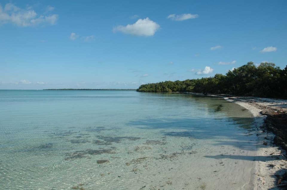
The C-103 path ends at Biscayne Bay, where the straight canal corridor opens to the water. The route is simple rather than varied; the bay is the payoff. From the shoreline, the canal and levee make a clear foreground for a photo.
The regional greenway is still unfinished. This is its eastern park-end canal section, not a completed park-to-park loop. The 3.2-mile paved section built near Homestead is a separate stretch farther west; the proposed full route is not a continuous trail yet.
Wildlife
 201 sightingsWest Indian ManateeMost seen around 7 AMSighting map
 154 sightingsAmerican CrocodileMost seen around 6 PMSighting map
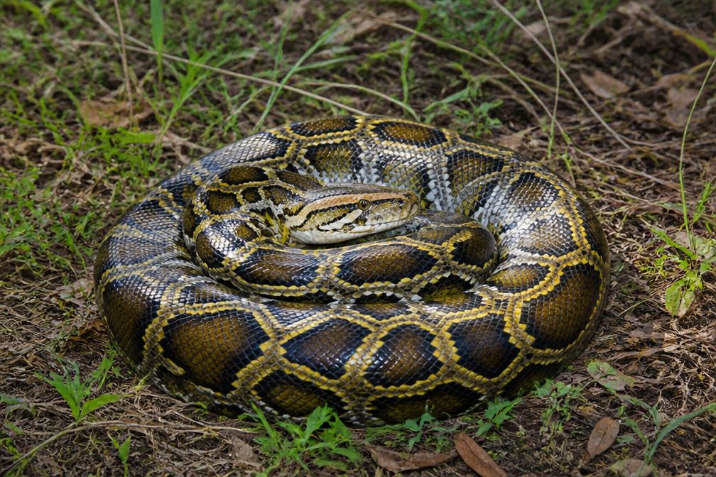 15 sightingsBurmese PythonMost seen around 6 PMSighting map
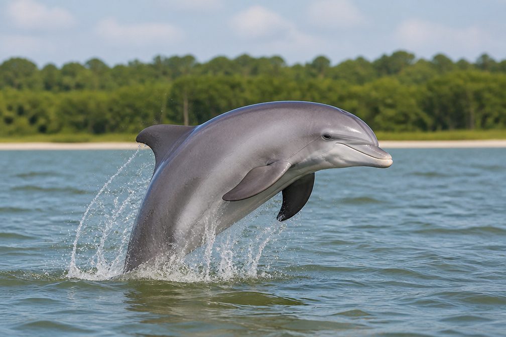 17 sightingsTamanend's Bottlenose DolphinMost seen around 7 PMSighting map
 23 sightingsBald EagleMost seen around 7 AMSighting map
 146 sightingsGreat BarracudaMost seen around 6 PMSighting map
Sighting maps show where each species has been reported across Biscayne. Wildlife moves, so no sighting is guaranteed.
Keep exploring
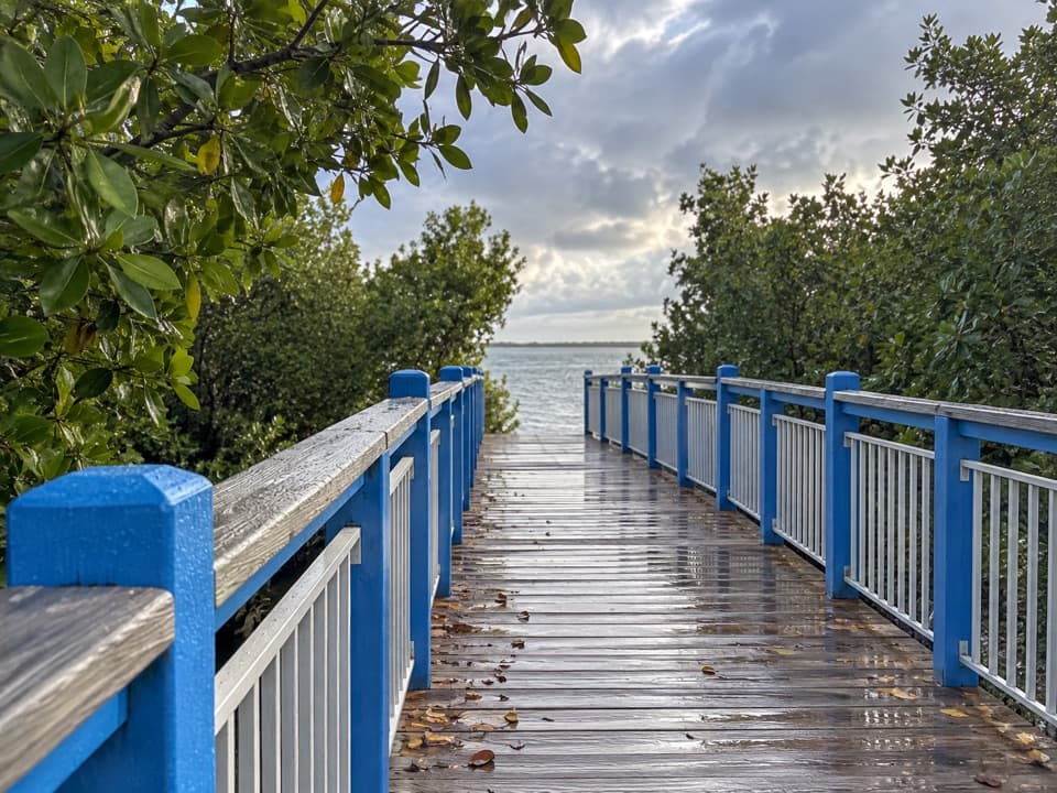 EasyConvoy Point Jetty Walk0.8 mi · 30 min · 0.8 mi awayMangroves, shallow bay water, and a jetty with history.
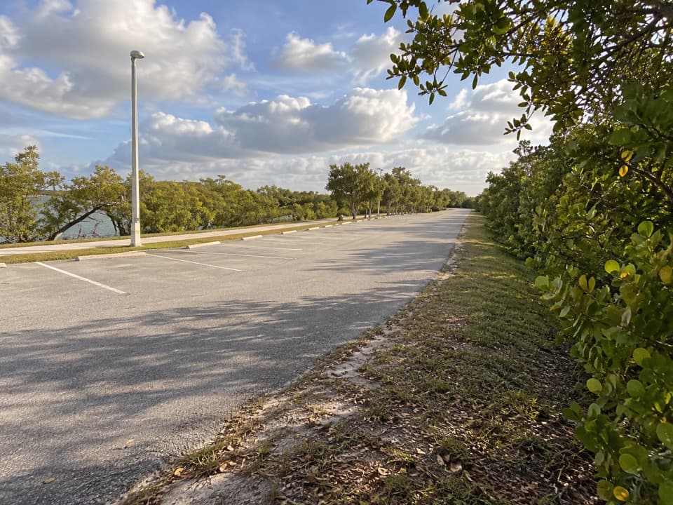 EasyBlack Creek Trail8.7 mi · 4 hr · 5.4 mi awayA long canal path from a bayfront marina into suburban Miami.
 EasyBlack Point Jetty Trail1.7 mi · 1 hr · 5.4 mi awayAn easy marina walk onto a sandy jetty and into Biscayne Bay.
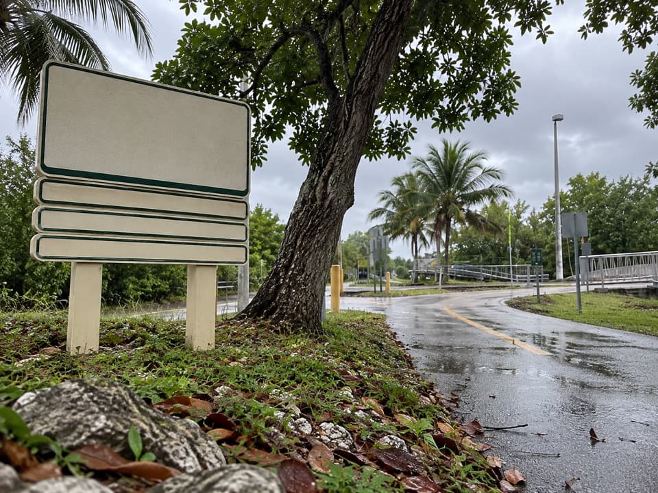 EasyBiscayne Trail2.7 mi · 1.2 hr · 5.5 mi awayA 2.7-mile county path links Black Point Marina to Old Cutler Road.
 EasyAdams Key Loop Trail1 mi · 30 min · 8.4 mi awayA shaded island loop through a former presidential retreat.
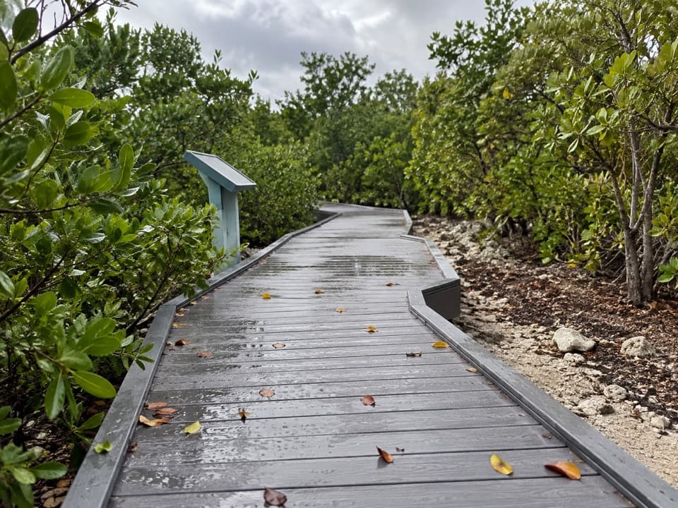 EasyElliott Key Nature Trail1 mi · 45 min · 9.5 mi awayA short island walk from hammock shade to Atlantic boardwalk
 ModerateSpite Highway Trail15.8 mi · 7.5 hr · 9.7 mi awayA bulldozed highway cut now shelters a tunnel of tropical forest.
 EasyBoca Chita Trail0.7 mi · 30 min · 11.5 mi awayA short loop through island woods to Boca Chita's south shore.
 Sight · 0.6 mi awayHomestead Bayfront Park and Herbert Hoover MarinaLaunch straight into Biscayne, then cool off at an atoll beach.
 Visitor center · 0.8 mi awayDante Fascell Visitor CenterA mainland base for boat trips, ecosystem exhibits, and mangroves.
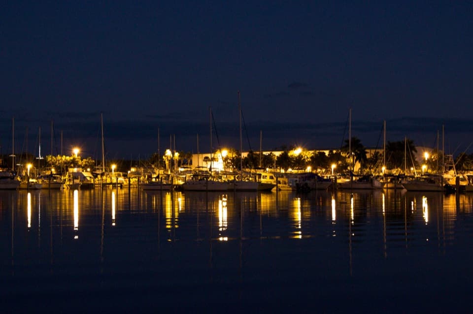 Sight · 5.4 mi awayBlack Point MarinaA working marina and bayfront park with a 1.5-mile fishing jetty.
 Picnic area · 8.4 mi awayAdams KeyBoat-only island stop with a short hammock walk and Cocolobo history.
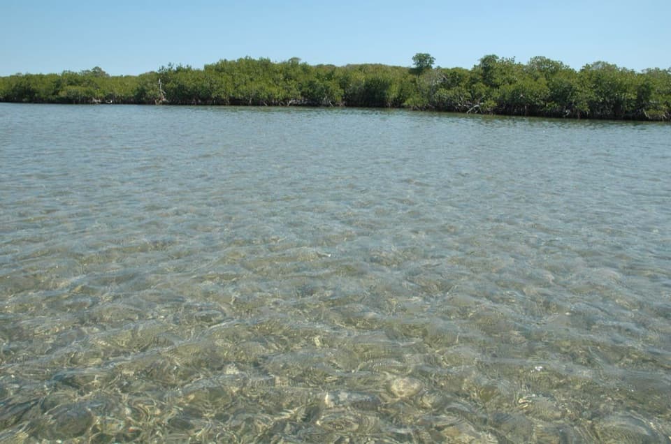 Sight · 9.2 mi awayJones LagoonLook for rays and upside-down jellyfish beneath your paddle.
 Sight · 9.4 mi awayElliott KeyA boat-only island with a shaded trail between bay and ocean.
 Campground · 9.4 mi awayElliott Key CampgroundBoat in for island camping; bring repellent for biting insects.
Parkwolf’s Biscayne ranking

The audio tour guide for the drive, plus offline maps, trails, and wildlife heatmaps for when the signal drops.