Parking
Use the Dante Fascell Visitor Center lot at Convoy Point; the full self-guided walk starts at the Compass Rose inside. Four designated accessible spaces are in the lot.
#1 of 9 trails in Biscayne
Biscayne National Park, FL
Mangroves, shallow bay water, and a jetty with history.
Overview
Map & elevation
Plan your hike

The highest, rockiest slopes around here are a summer buffet for grizzly bears.
Biscayne Tour Guide
Parkwolf is a GPS audio tour guide for Biscayne National Park. As you drive, it chimes in with what’s ahead: hidden gems, upcoming stops, history, geology, and wildlife, right through your car’s speakers.
Recorded for this trailhead
Convoy Point and Dante Fascell Visitor Center“You're approaching Convoy Point and the Dante Fascell Visitor Center. I'd stop here for the ecosystem exhibits, then take the easy jetty walk for a look at the bay itself.”
Plays as you drive up to this trailhead in the Parkwolf Biscayne Tour Guide.
More stories near here in the app
“Fantastic app with many points of information… It’s great to just turn on while you’re driving and it gives you an audio tour of the national Park. We love it!!!!”


Trail guide
Convoy Point Jetty Walk is a 0.8-mile out-and-back from the Compass Rose inside the Dante Fascell Visitor Center to the east end of the jetty and back. Allow about 30 minutes, more if you read the stops or pause over the water. It is easy, level walking and a useful way to get out onto the shore without booking a boat. The 0.8 miles includes the approach across the visitor-center grounds; the jetty itself is only one part of the route.
Follow the self-guided directions past the Fish Wall to the canoe-ramp trailhead, then head east beside the water, around the bend at Convoy Point, and south/southeast across the bridge. At the far end, turn toward the jetty, continue to its east tip, and retrace the same corridor. The interpretive stations are not marked by posts, so keep the route directions handy. The approach also passes near a road by the visitor center; stay on the sidewalk and stop where the directions say.
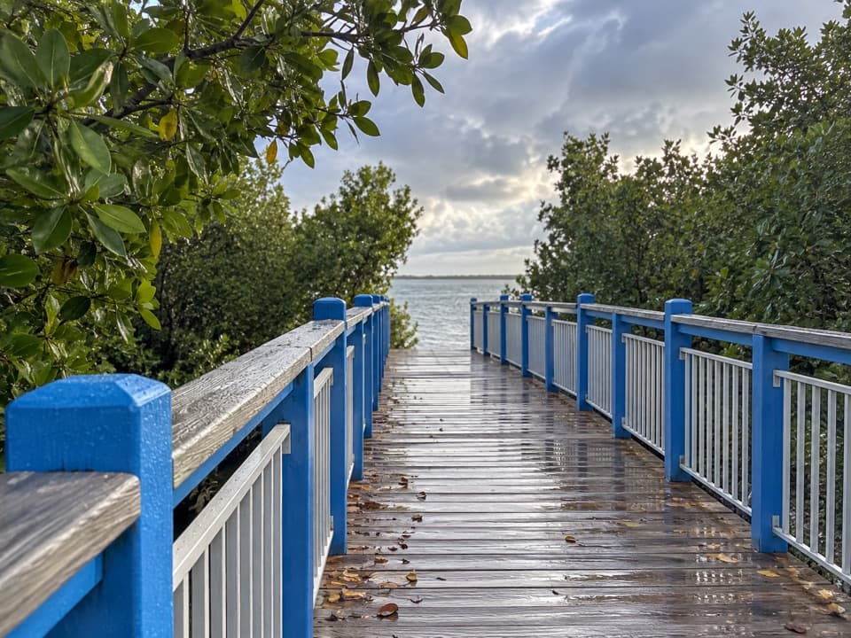
Most of the walk is wooden boardwalk, with benches along the way. The last compact natural-surface portion is firm but can hold shallow puddles after rain. The route is described as wheelchair- and mobility-device-accessible and stays essentially flat; distance and pauses, not climbing, set the effort. Restrooms and water fountains are at the visitor center, not on the jetty. This is an easy mainland stop, not a stand-in for a longer island walk.
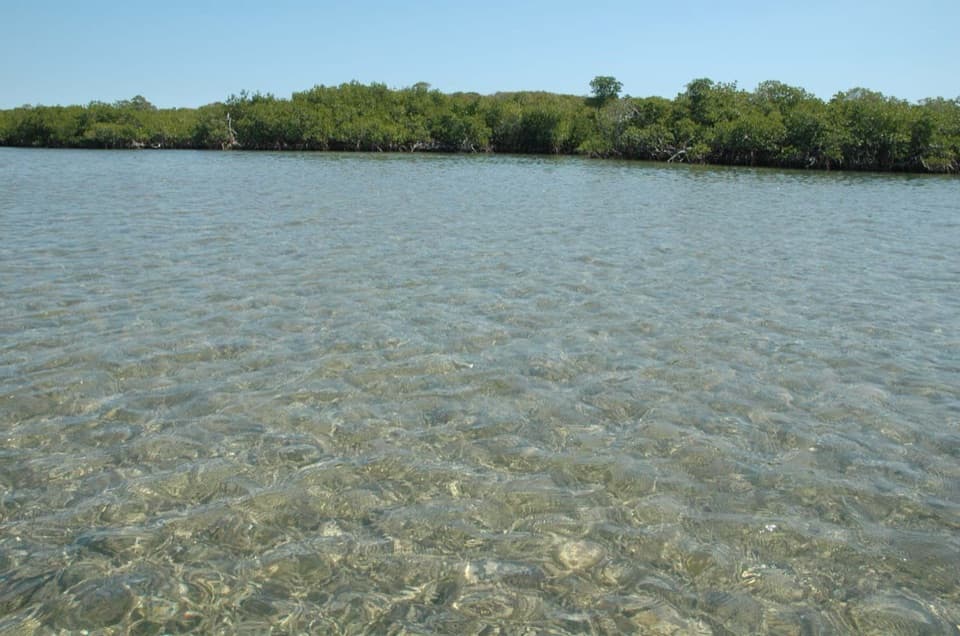
At the south end of the bridge, look down into the shallow seagrass water and along the mangrove edge. Red mangroves arch their prop roots; black mangroves send pencil-like breathing roots up from the ground; white mangroves have paired bumps near the leaf stems. The water in front of the bridge averages about 6–8 feet deep, and the grass beds are a nursery for bay life. Barracuda, blue crabs, and southern stingrays are among the possibilities, though sightings depend on visibility and luck. Leave leaves and roots untouched.
The blue railing makes a good foreground as the route points toward open water. From the east end, the northern Florida Keys may line the horizon; Soldier Key is northeast, and Boca Chita or Elliott Keys can be faintly visible farther out. The view has a developed side too: Miami buildings and a landfill show to the northwest, while Turkey Point structures sit to the north. The rocky bird-observation area beyond the jetty is closed to the public, so watch birds from the path rather than walking onto the rocks.
The Flagpole Crossroads is worth a pause. The walk ties this shore to more than 10,000 years of human history, including Tequesta people and later homesteaders, and to local preservation advocates who helped protect the bay. It also introduces the area's shipwreck legacy: more than 50 of the park's cultural sites are shipwrecks, including the British warship HMS Fowey, which sank in 1748. A cannon from the ship is displayed back at the visitor center. The underwater Maritime Heritage Trail is a separate boat-accessed route, not an extension of this foot walk.
Park in the Dante Fascell Visitor Center lot at Convoy Point; the full self-guided version starts inside at the Compass Rose. Four accessible spaces are designated, and accessible picnic tables are spread around the grounds. Leashed pets can be on Convoy Point grounds but cannot enter the visitor center, so start outside with a pet. The visitor center's restrooms and water fountains are at the start and finish, not along the jetty.
Wildlife
 201 sightingsWest Indian ManateeMost seen around 7 AMSighting map
 154 sightingsAmerican CrocodileMost seen around 6 PMSighting map
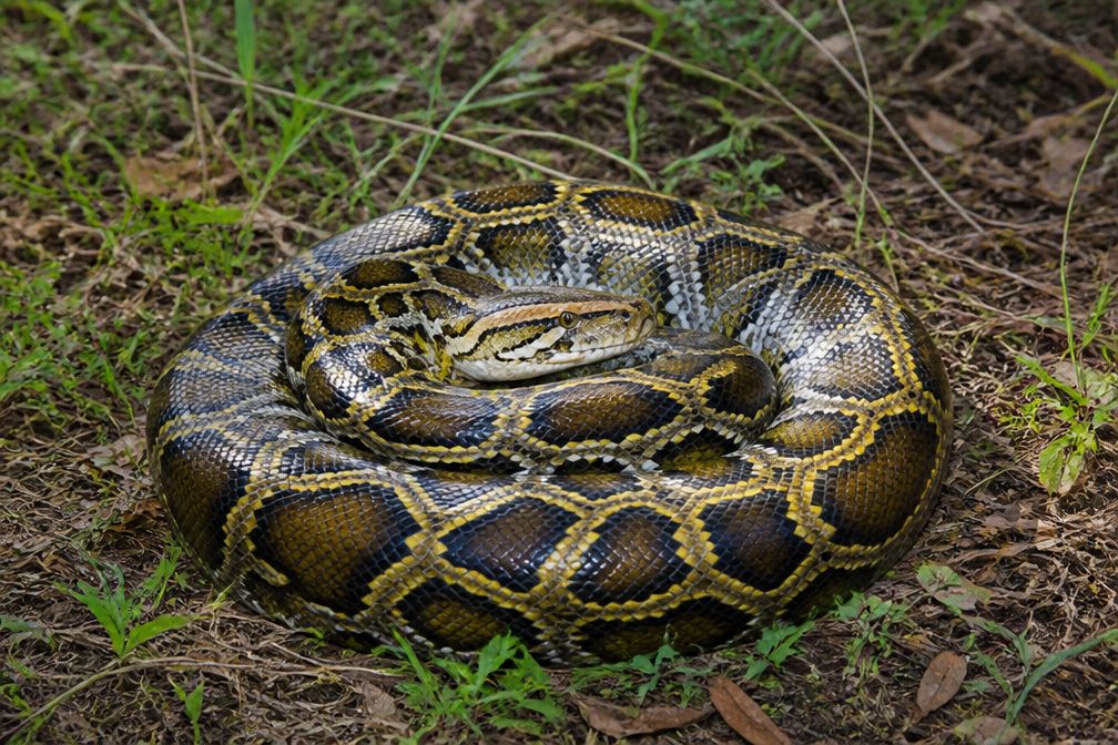 15 sightingsBurmese PythonMost seen around 6 PMSighting map
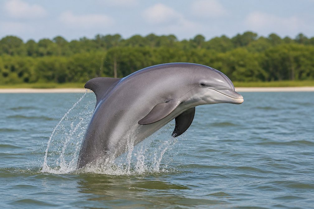 17 sightingsTamanend's Bottlenose DolphinMost seen around 7 PMSighting map
 23 sightingsBald EagleMost seen around 7 AMSighting map
 146 sightingsGreat BarracudaMost seen around 6 PMSighting map
Sighting maps show where each species has been reported across Biscayne. Wildlife moves, so no sighting is guaranteed.
Keep exploring
 EasyBiscayne-Everglades Greenway1.8 mi · 1 hr · 0.8 mi awayFollow a flat canal path to Biscayne Bay.
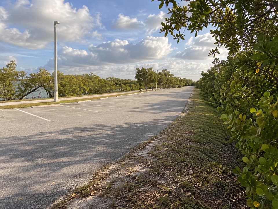 EasyBlack Creek Trail8.7 mi · 4 hr · 5.2 mi awayA long canal path from a bayfront marina into suburban Miami.
 EasyBlack Point Jetty Trail1.7 mi · 1 hr · 5.2 mi awayAn easy marina walk onto a sandy jetty and into Biscayne Bay.
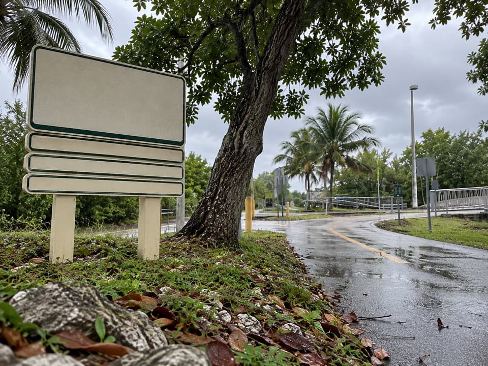 EasyBiscayne Trail2.7 mi · 1.2 hr · 5.4 mi awayA 2.7-mile county path links Black Point Marina to Old Cutler Road.
 EasyAdams Key Loop Trail1 mi · 30 min · 7.8 mi awayA shaded island loop through a former presidential retreat.
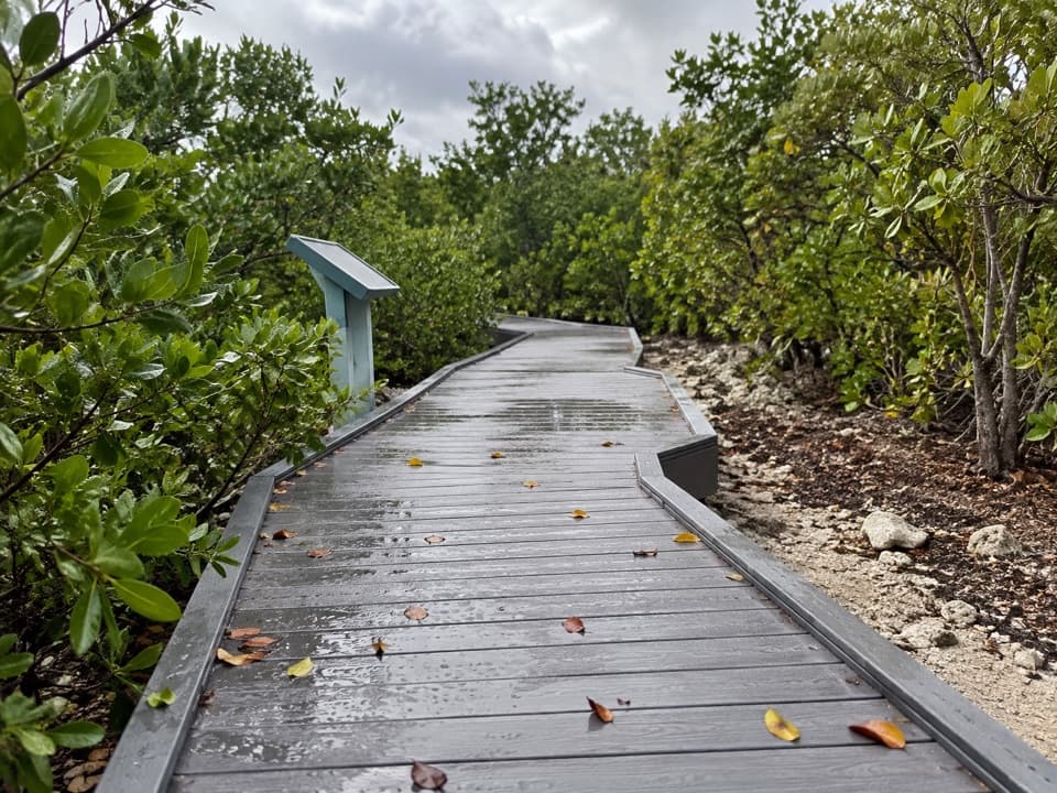 EasyElliott Key Nature Trail1 mi · 45 min · 8.7 mi awayA short island walk from hammock shade to Atlantic boardwalk
 ModerateSpite Highway Trail15.8 mi · 7.5 hr · 8.9 mi awayA bulldozed highway cut now shelters a tunnel of tropical forest.
 EasyBoca Chita Trail0.7 mi · 30 min · 10.8 mi awayA short loop through island woods to Boca Chita's south shore.
 Visitor center · At the trailheadDante Fascell Visitor CenterA mainland base for boat trips, ecosystem exhibits, and mangroves.
 Sight · 0.2 mi awayHomestead Bayfront Park and Herbert Hoover MarinaLaunch straight into Biscayne, then cool off at an atoll beach.
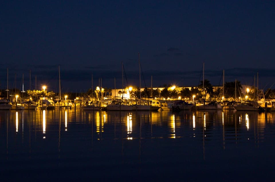 Sight · 5.2 mi awayBlack Point MarinaA working marina and bayfront park with a 1.5-mile fishing jetty.
 Picnic area · 7.8 mi awayAdams KeyBoat-only island stop with a short hammock walk and Cocolobo history.
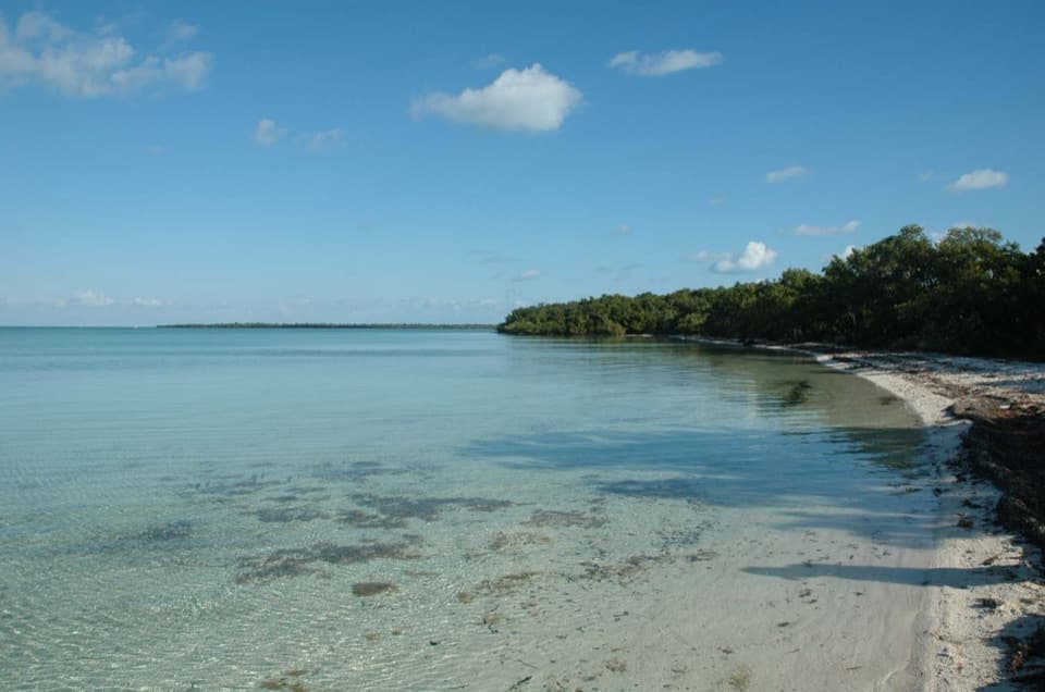 Sight · 8.7 mi awayElliott KeyA boat-only island with a shaded trail between bay and ocean.
 Campground · 8.7 mi awayElliott Key CampgroundBoat in for island camping; bring repellent for biting insects.
 Sight · 8.7 mi awayJones LagoonLook for rays and upside-down jellyfish beneath your paddle.
Parkwolf’s Biscayne ranking

The audio tour guide for the drive, plus offline maps, trails, and wildlife heatmaps for when the signal drops.