Pros & cons
PROS
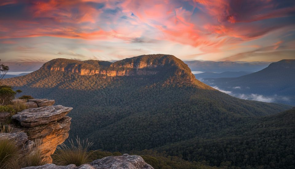
- Huge panoramas over Mount Solitary, Ruined Castle and Jamison Valley
- Short approach with a stellar effort‑to‑reward ratio and low crowds
CONS
- Unfenced cliff edges; slippery when wet or windy
- No facilities (water, toilets, shelter) on the track or at the lookout
Overview
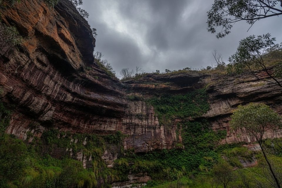
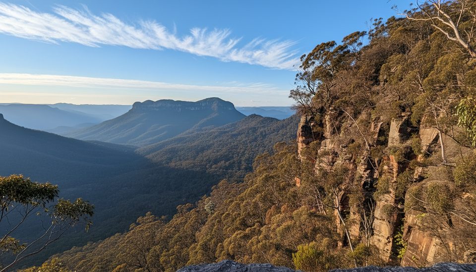
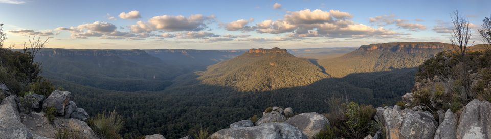
Castle Head is a rocky headland on the Narrow Neck Plateau near Katoomba, delivering some of the most immersive views in the region for surprisingly little effort. It feels wild and undeveloped—no fences, no platforms—just you on a natural sandstone outcrop with the valleys opening up beneath your feet.
What You’ll See
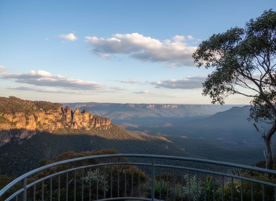
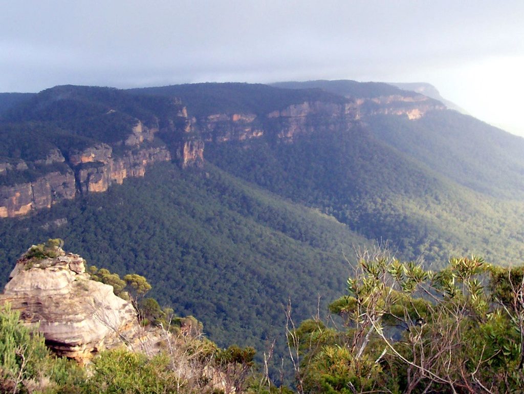
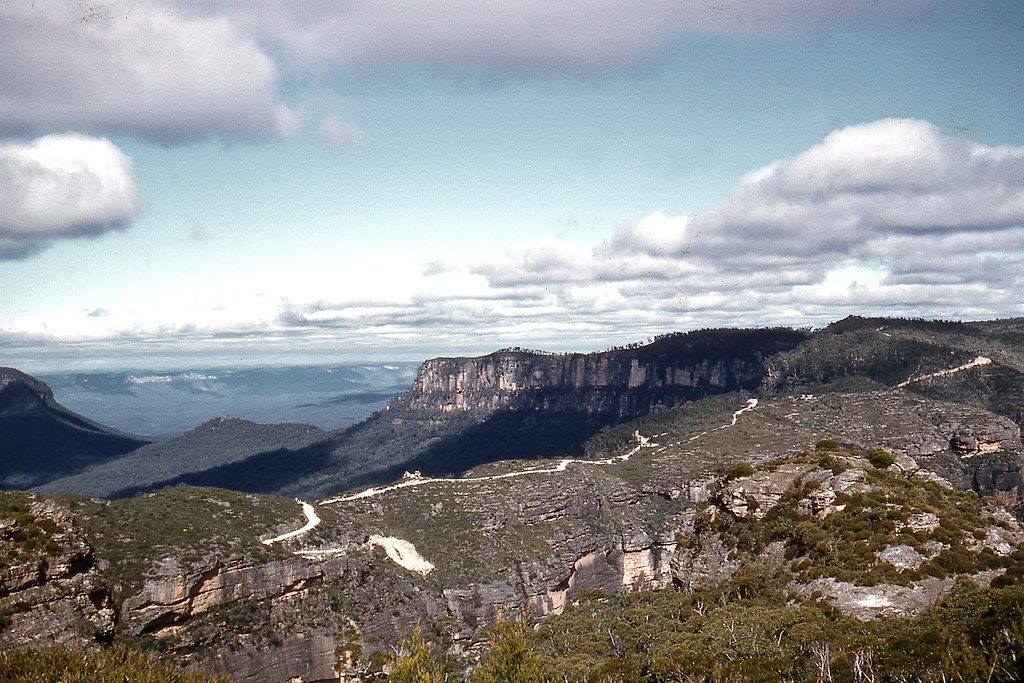
Front and center is Mount Solitary, with the Ruined Castle formation directly below and wide sweeps of the Jamison and Cedar Creek valleys. On clear days you can also spot the Three Sisters off to the left. The approach passes through low bush and heath before opening onto the headland; there’s a trig station near the high point just before the best views.
Trail & Difficulty
- Distance: roughly 4.2 km return
- Time: about 1.5–2 hours return for most walkers
- Character: a wide management/fire trail to the side track, then mostly flat single‑track for the final ~850 m to the lookout
- Difficulty: generally easy to moderate, but the final rocky section has uneven footing and completely unfenced cliff edges. Signage is limited, and some sections can be scratchy or rough.
Best Time to Visit
Pick a clear day for the widest vistas; mist can be atmospheric but may hide the scenery. It’s usually quiet, and you’ll have the best chance of solitude outside weekends and holiday periods. Avoid visiting during or immediately after heavy rain—the rock can be slick and route‑finding is harder in poor visibility.
Wildlife
Listen for superb lyrebirds echoing through the valleys—a frequent soundtrack along this spur. You’ll also encounter typical bushland birdlife on the way out to the headland.
Know Before You Go
- Access starts from the locked/emergency gate on Glenraphael Drive along the Narrow Neck management trail; the side track to Castle Head is obvious and in good condition near the end.
- There are no toilets, water, or shelter anywhere on this walk. Bring everything you need and be self‑sufficient.
- Weather can change quickly on the plateau. Carry a map/GPS, water, sun protection, and wear sturdy shoes.
- Take extreme care near the unfenced edges, especially in wind or if the rock is damp.
Where it is
-33.7567, 150.2882Tips for Castle Head
- 01Begin at the locked gate on Glenraphael Drive, follow the Narrow Neck management trail, then take the Castle Head side track.
- 02The last ~850 m is mostly flat and clear, but the cliffs are completely unfenced—watch your footing.
- 03Glenraphael Drive is unsealed with potholes; drive slowly and don’t take low clearance lightly.
- 04Signage is limited—carry a map or GPS and download your route in advance.
- 05If you start from Narrow Neck Lookout, don’t take the Golden Stairs if your goal is the headland itself.
Amenities
Near Castle Head
All places →All trails →
0.6 mi awayRuined CastleIconic sandstone outcrop with 360-degree Jamison Valley viewsScenic Viewpoint · Restroom
1.2 mi awayDiamond FallsAustralia’s steep sport‑climbing showpiece on a wild sandstone escarpment
1.6 mi awayMount Solitary walking trackBig Blue Mountains day: Golden Stairs to Mount Solitary summit.Challenging · 11.2 mi · 11 hr
1.6 mi awayGolden StairsA steep, short gateway to Federal Pass with big Jamison views.Challenging · 1 mi · 1.2 hr
1.8 mi awayEagle Hawk LookoutQuieter Three Sisters viewpoint off Cliff DrivePullout · Parking
1.9 mi awayScenic WalkwayElevated rainforest boardwalk with mining relics and lyrebirdsEasy · 1.5 mi · 1 hr
2 mi awayNarrow Neck LookoutBig valley views and the gateway to the Narrow Neck trailScenic Viewpoint · Parking
2 mi awayNarrow Neck Plateau TrailLong ridgeline fire trail with nonstop Jamison and Megalong views.Moderate · 11.8 mi · 5.5 hr