Overview
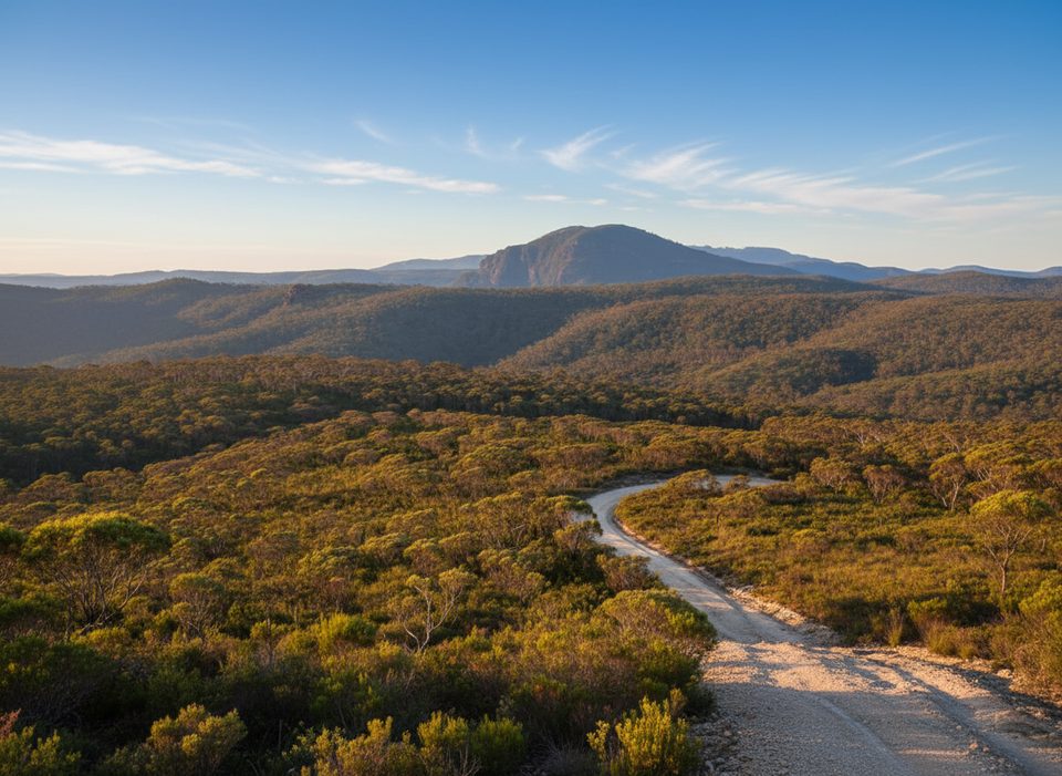
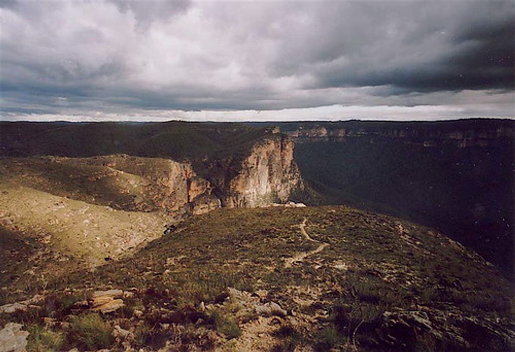
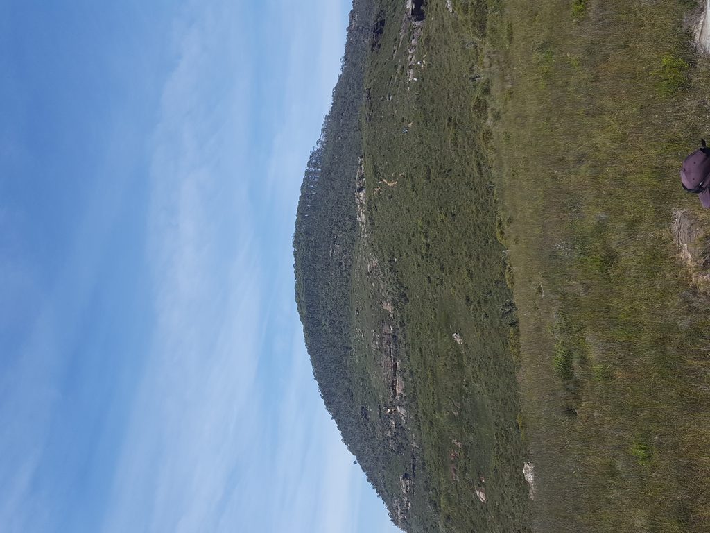
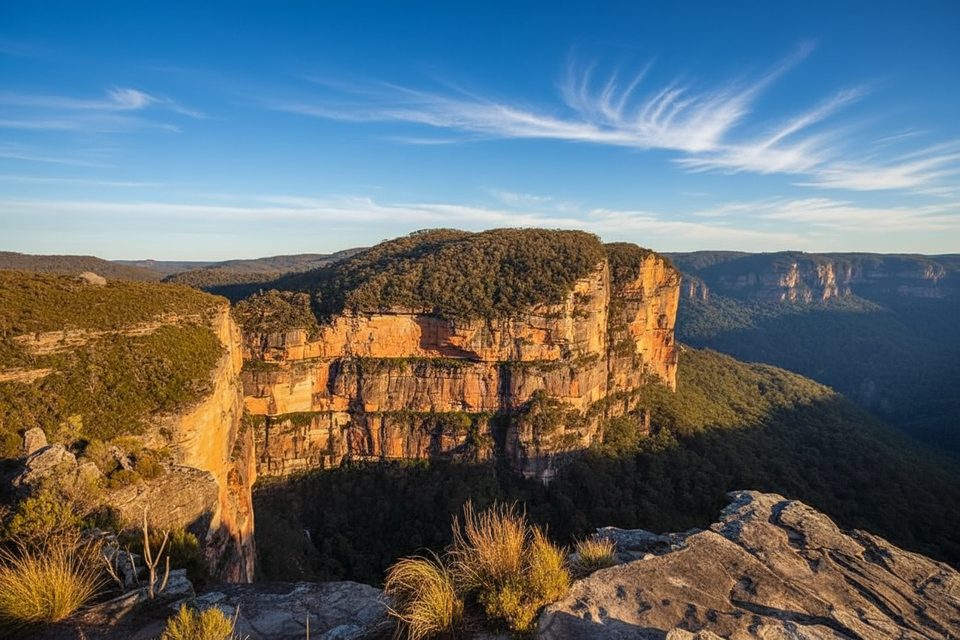
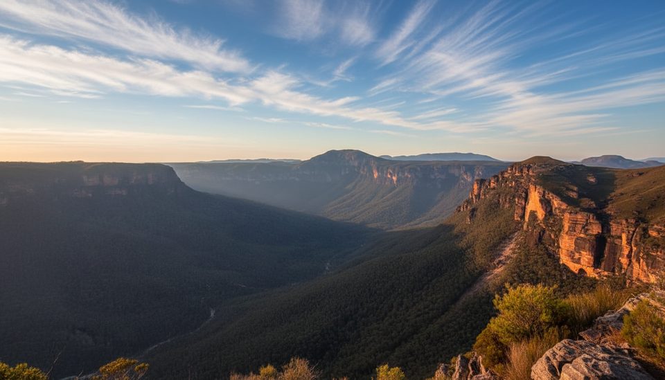
Mount Hay is a basalt‑capped peak at the end of Mount Hay Road near Leura, offering big, dramatic Grose Valley scenery with far fewer people than the busy lookouts. The forested summit isn’t the star—the real payoff is along the ridgeline and nearby crags and flat tops where the views open up. On crystal‑clear days you can even spot the distant city skyline.
What You'll See
- Sweeping cliff‑line vistas into the Grose Valley and across to nearby peaks.
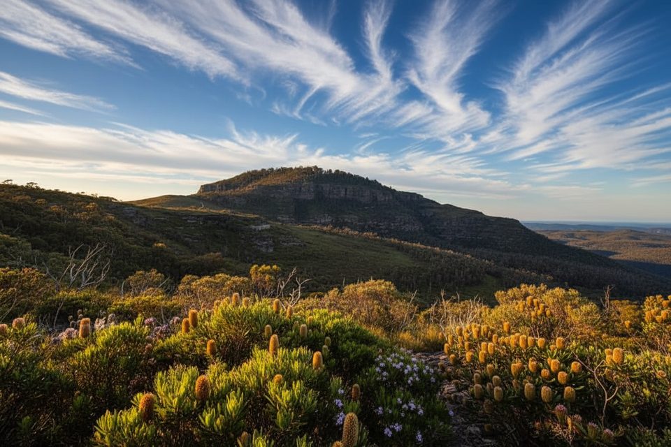
- Heath and eucalypt country with seasonal wildflowers; after fire, pink flannel flowers can appear in rare, spectacular blooms.
- Striking sandstone and basalt contrasts—rocky outcrops, ridges, and swamps that feel wonderfully remote.
Trails & Activities
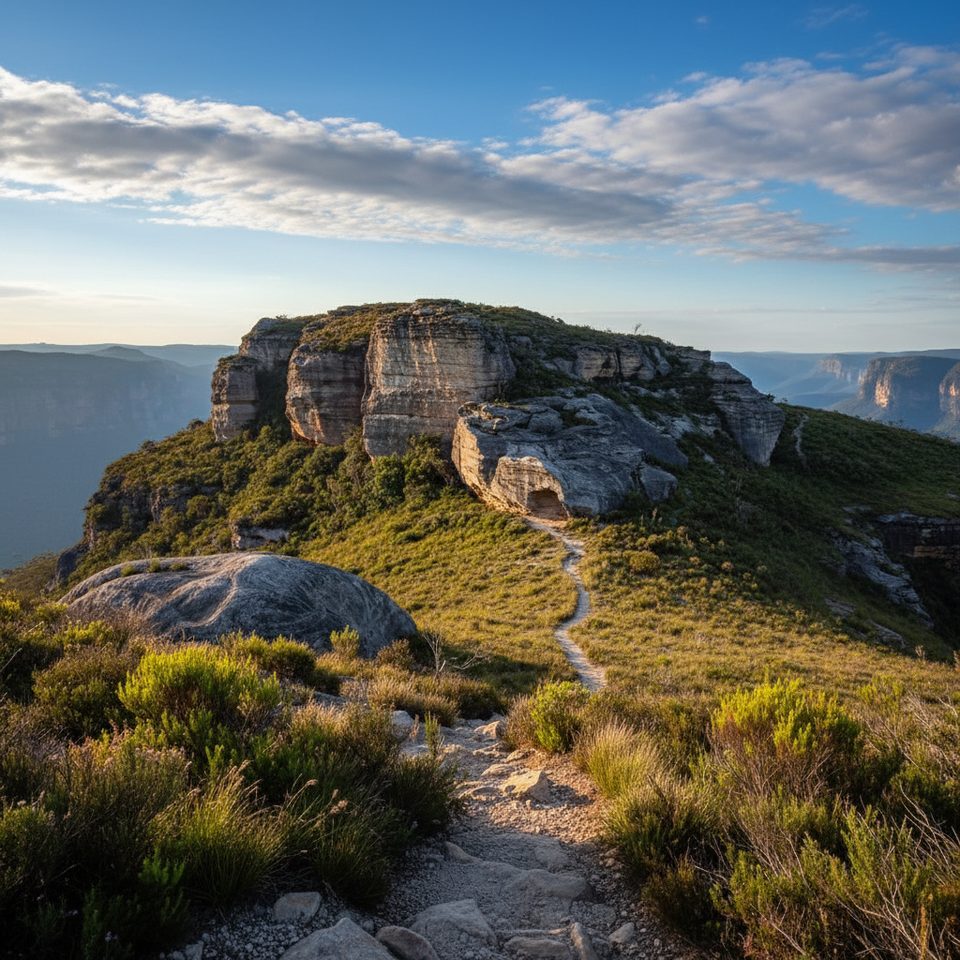
- Short summit outing: a steep, rocky ridge walk from the end‑of‑road car park; the best viewpoints come before the wooded top.
- Quick-win viewpoints: a 10‑minute wander to “Flat Top” and adjacent crags gives near‑360° panoramas.
- Nearby options: Butterbox Point is a scenic out-and-back from the same area. Experienced parties also use the precinct for canyoning and climbing.
- Riding: Mount Hay Road is a popular mountain‑bike approach, with walkers peeling off at the end for short view walks.
Wildlife & Nature
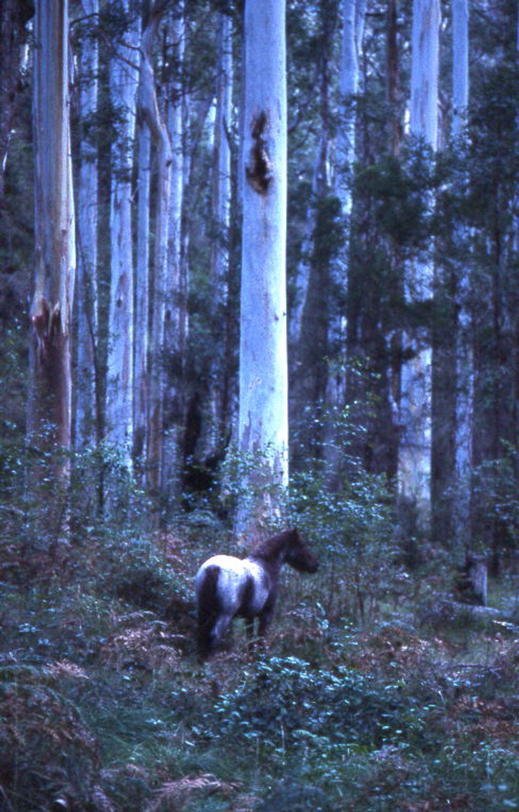
Expect classic Blue Mountains birdlife and, in the swamps, the region’s notable giant dragonfly. Wildflower displays can be excellent in season, especially after fire.
Getting There & Access
- The last ~13 km of Mount Hay Road are unsealed. Two‑wheel drive is possible in dry conditions, but high clearance is wise, especially after rain. A gate near the end may close during broader park closures.
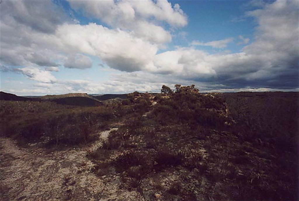
- There’s a simple car park and trailhead at road’s end with a large info board. Tracks can be indistinct in places—don’t count on signage.
Know Before You Go
- No services: there are no toilets, water, or shelters—come self‑sufficient.
- Navigation: bring a map/GPS; some sections are overgrown or lightly marked near the summit.
- Weather: ridges catch wind and temps can change fast—pack layers and sun protection.
- Photographers: sunset light is superb from the crags; carry a headlamp for the walk back.
Best Time to Visit
Year‑round works. Aim for late afternoon into sunset for the most dramatic light on the cliffs. Midweek visits amplify the solitude. Spring can bring wildflowers; avoid/drive carefully after heavy rain when the road deteriorates.