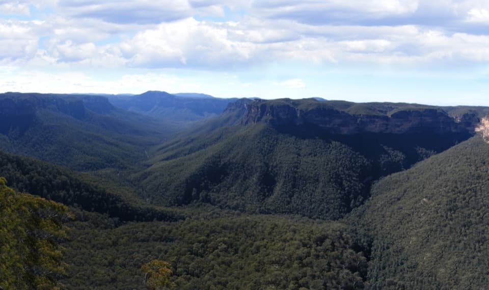
Kings Tableland Aboriginal Place in Blue Mountains National Park

Sight · Blue Mountains National Park

Kings Tableland Aboriginal Place

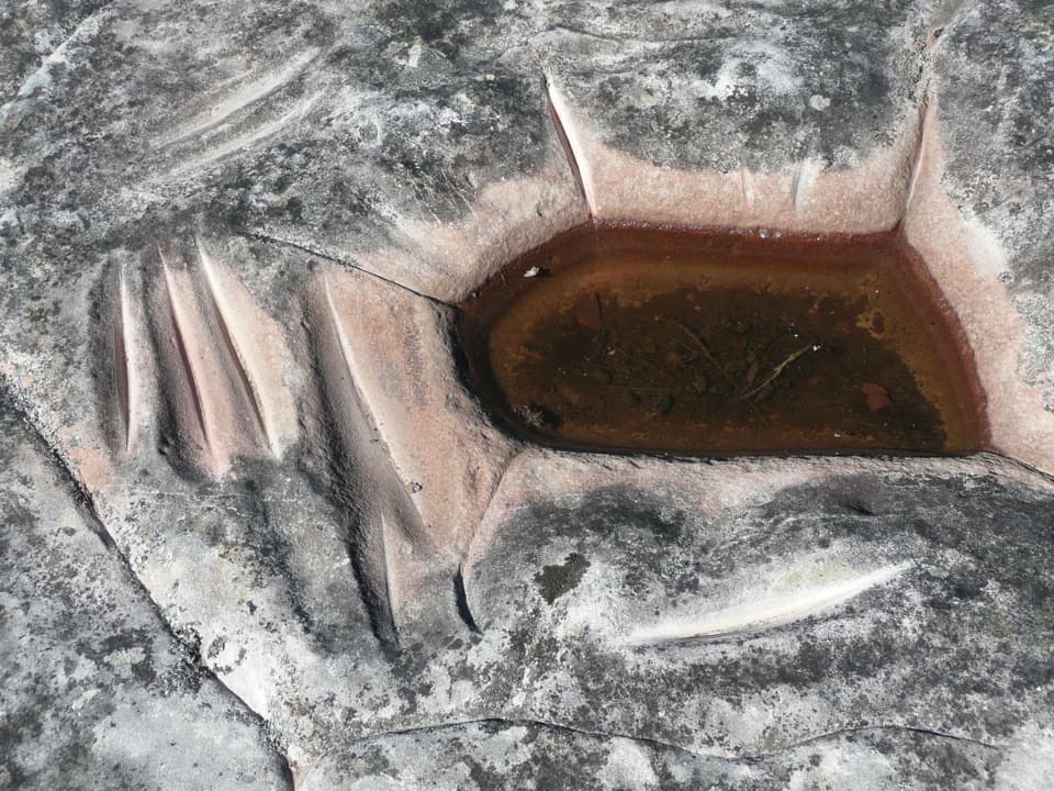
Grinding grooves and carved animal tracks reward this remote 4WD detour.

Photo: Wikimedia Commons
Type
Sight
Nearest trail
1.4 km
Audio stories
5 nearby
  • #30 of 63 sights

Hear the audio tour

Lincoln's Rock and Lincoln Hall

Overview

About Kings Tableland Aboriginal Place

Why stop

  • Distinctive sandstone grooves and animal-track carvings

Heads up

  • Remote access on an unsealed road that can roughen after rain
Kings Tableland Aboriginal Place is a heritage-listed Aboriginal cultural site on Kings Tableland Road, a remote 4WD route south of Wentworth Falls. It’s a worthwhile pause if you’re driving toward McMahons Point and want to understand the area’s Aboriginal significance as well as its landscape.
Parkwolf’s verdictA worthwhile stop on the Tableland drive

Map

Where it is

Loading the Blue Mountains map
Full map
SightKings Tableland Aboriginal Place-33.74457, 150.38672
Keep this map with you offline in the Parkwolf app

Plan your stop

Before you go

3 active Blue Mountains alerts

  • ClosureRoads and tracks closed across Blue Mountains National ParkMany roads, fire trails and walking tracks across Blue Mountains National Park are closed; do not enter closed areas.Official details
  • CautionPark-wide solid-fuel fire banA park fire ban is active across Blue Mountains National Park: campfires and solid-fuel barbecues and stoves are prohibited. - Gas and electric cookers are permitted, subject to safety rules.Official details

See all 3 alerts
A park ranger sits on a dash-mounted phone, talking, as Parkwolf’s Tour Guide plays “Army Cutworm Moths: A Grizzly Bear Buffet” on Grand Loop Road below Dunraven Pass in Yellowstone
Parkwolf Tour GuideThe highest, rockiest slopes around here are a summer buffet for grizzly bears.

Blue Mountains Tour Guide

Your drive to Kings Tableland Aboriginal Place, narrated.

Parkwolf is a GPS audio tour guide for Blue Mountains National Park. As you drive, it chimes in with what’s ahead: hidden gems, upcoming stops, history, geology, and wildlife, right through your car’s speakers.

See the Blue Mountains audio tour

Recorded for this area

Lincoln's Rock and Lincoln Hall
0:00 / 0:33
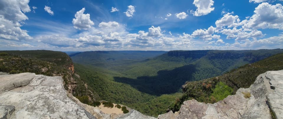
“You're approaching the access for Lincoln's Rock, a broad sandstone ledge overlooking Jamison Valley. A short unpaved walk from the car park takes you onto the rock.”

Plays on the road 0.9 km from Kings Tableland Aboriginal Place in the Parkwolf Blue Mountains Tour Guide.

More stories near here in the app

  • Kedumba Valley’s Walk-in River Campground
  • The Log's Two Kinds of Rot
  • The Insect That Carries Its Shelter
  • Wentworth Falls from the Picnic Area
  • 188 audio storiesacross Blue Mountains’s roads, triggered by GPS as you drive
  • Wildlife heatmapsfor Grey Kangaroo, Wombat, Red-necked Wallaby, and 13 more
  • Works offlinemaps, 110 trails, 84 places, and audio download before you lose signal
  • CarPlay readysimple controls built for the drive
★★★★★
“Fantastic app with many points of information… It’s great to just turn on while you’re driving and it gives you an audio tour of the national Park. We love it!!!!”
JMJamesApp Store review
Download Parkwolf on the App StoreGet Parkwolf on Google Play

4.7 from 8,600+ ratings

Guide

More about Kings Tableland Aboriginal Place

Read the sandstoneLook for long grinding grooves cut into the sandstone and a nearby rock shelter with carvings…

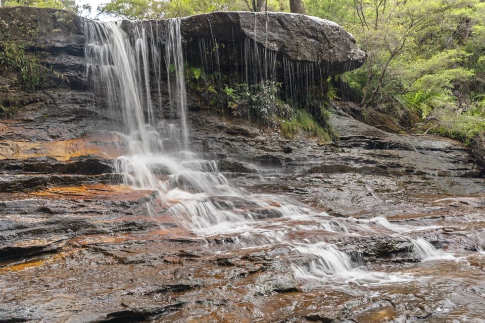
Look for long grinding grooves cut into the sandstone and a nearby rock shelter with carvings of animal tracks. The grooves and carved tracks give this stop a specific story to look for among the weathered rock. Take a moment with the details before continuing along the road.

Make the drive workThe site lies along the 21 km gravel stretch of Kings Tableland Road toward McMahons Point; the…

The site lies along the 21 km gravel stretch of Kings Tableland Road toward McMahons Point; the full drive from Old Queen Victoria Hospital to the road end and back is 42 km. It’s remote, and rain can leave the road boggy and potholed, so check current road and weather information before setting out. Picnic tables are farther along at McMahons Point, several kilometres beyond this cultural stop.

Wildlife

Wildlife in Blue Mountains

All Blue Mountains wildlife maps

Sighting maps show where each species has been reported across Blue Mountains. Wildlife moves, so no sighting is guaranteed.

Keep exploring

Near Kings Tableland Aboriginal Place

See it all on the map

Trails nearby

More stops nearby

Parkwolf’s Blue Mountains ranking

Top sights in Blue Mountains

All 84 places
  1. 1Echo Point Lookout (Three Sisters)Sight
  2. 2Govetts Leap lookoutSight
  3. 3Wentworth FallsSight
  4. 4Scenic WorldSight
  5. 5Katoomba FallsSight
  6. 6Evans lookoutSight

Take Parkwolf to Blue Mountains.

The audio tour guide for the drive, plus offline maps, trails, and wildlife heatmaps for when the signal drops.

4.7 from 8,600+ ratings

Download Parkwolf on the App StoreGet Parkwolf on Google Play