Parking
Use the Mount Werong Campground carpark; the walking track starts within the campground.

Blue Mountains National Park, NSW
Mining history, stone steps and a 60m waterfall over forest
Overview
Map & elevation
Plan your hike

The highest, rockiest slopes around here are a summer buffet for grizzly bears.
Blue Mountains Tour Guide
Parkwolf is a GPS audio tour guide for Blue Mountains National Park. As you drive, it chimes in with what’s ahead: hidden gems, upcoming stops, history, geology, and wildlife, right through your car’s speakers.
See the Blue Mountains audio tourRecorded for this trailhead
Mount Werong Campground and Ruby Creek“Mount Werong campground is coming up, a base for a simple overnight in the southern mountains.”
Plays as you drive up to this trailhead in the Parkwolf Blue Mountains Tour Guide.
More stories near here in the app
“Fantastic app with many points of information… It’s great to just turn on while you’re driving and it gives you an audio tour of the national Park. We love it!!!!”


Trail guide
Ruby Creek walking track is a 5.3 km (3.3 mile) out-and-back from Mount Werong Campground, following Ruby Creek through tall forest to a former gold mine and the falls lookout. Allow about 1.5 hours for the full return. It is rated easy, though the final steps to the lookout add a climb on the way back. If those steps do not suit, the mine site is a natural place to turn around before the falls.
The track leaves the campground and follows Ruby Creek through tall forest to the old mine site. Gold miners once worked the creek for alluvial gold. A few exotic fruit trees are the remaining trace of the bush huts that stood there. On the return, an optional detour gives a view of the old mine shaft and machinery.
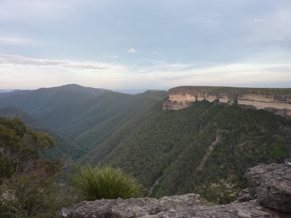
From the mine site, stone and timber steps lead about 140 m farther along the track to Ruby Creek Falls lookout. You climb the same steps on the way back. The falls plunge 60 m into the valley, with the Kanangra-Boyd Wilderness and Boyd Plateau beyond. At the lookout, leaving a section of the timber railing in the foreground helps show the depth of the forested valley.
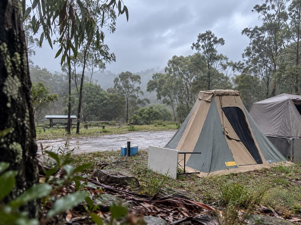
Begin at Mount Werong Campground, where the carpark, toilets, drinking water, picnic tables and barbecues are available. No food service was identified at the campground, so plan food before arriving. Dogs and other domestic pets are not permitted in the national park; certified assistance animals are allowed.
Wildlife
 58 sightingsGrey KangarooMost seen around 6 AMSighting map
 43 sightingsWombatMost seen around 6 PMSighting map
 18 sightingsRed-necked WallabyMost seen around 6 PMSighting map
 53 sightingsSwamp WallabyMost seen around 7 AMSighting map
 23 sightingsBrushtail PossumMost seen around 7 PMSighting map
 30 sightingsRing-tailed PossumMost seen around 7 PMSighting map
Sighting maps show where each species has been reported across Blue Mountains. Wildlife moves, so no sighting is guaranteed.
Keep exploring
Parkwolf’s Blue Mountains ranking

The audio tour guide for the drive, plus offline maps, trails, and wildlife heatmaps for when the signal drops.