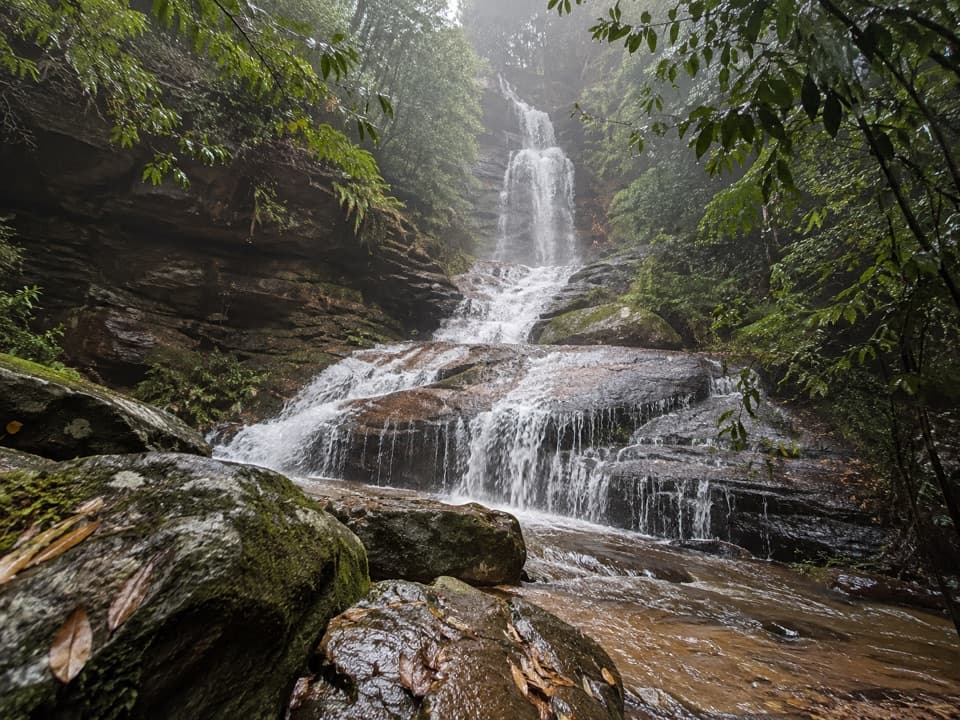
Parking
Use the Lockley Pylon parking area beside Mount Hay Road; the track start is a short walk away. Mount Hay Road is gravel, and its condition can change.

#3 of 110 trails in Blue Mountains
Blue Mountains National Park, NSW
A rocky heath walk pays off with a huge Grose Valley view.
Overview
Map & elevation
Plan your hike

The highest, rockiest slopes around here are a summer buffet for grizzly bears.
Blue Mountains Tour Guide
Parkwolf is a GPS audio tour guide for Blue Mountains National Park. As you drive, it chimes in with what’s ahead: hidden gems, upcoming stops, history, geology, and wildlife, right through your car’s speakers.
See the Blue Mountains audio tourRecorded for this trailhead
The Walk to Lockley Pylon“You're coming up on the start of the Lockley Pylon walk, a good choice for a rocky summit above the Grose Valley.”
Plays as you drive up to this trailhead in the Parkwolf Blue Mountains Tour Guide.
More stories near here in the app
“Fantastic app with many points of information… It’s great to just turn on while you’re driving and it gives you an audio tour of the national Park. We love it!!!!”


Trail guide
Lockley Pylon is a 7 km out-and-back from the Mount Hay Road parking area to a rocky high point above the Grose Valley. The route follows the ridge through heath and low forest, then opens to a long view of sandstone cliffs, Mount Hay and Mount Banks. Allow 2 to 3 hours; I would plan about two and a half. It is a Grade 3 walk on a formed, signposted track, with short climbs, occasional steps and some obstacles. If you want a proper high-country view without committing to an all-day walk, this is a strong pick.
The first few hundred metres climb a narrow path before it eases. This stretch is rocky and quieter for views, with only glimpses through scrub. The track then crosses open heath and low forest, with uneven ground that slows you more than the distance suggests. Around 2.5 km in, the ridge swings into view and the landscape opens up. Stick with the walk past its subdued start; the best scenery comes on the final stretch.
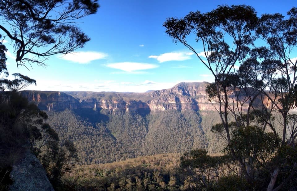
The last section is open and exposed, with a short, gentle climb to the rocky summit and its large cairn. From here the Grose Valley drops away below, with Mount Hay and Mount Banks across the cliffs. The pylon is a natural bulge on Du Faur Buttress, roughly 600 metres above the valley floor, rather than a built lookout platform. For a photo, keep a little of the sandstone and heath in the foreground with the far cliffs behind; it gives the view a sense of scale.
Lockley Pylon is named for J. G. “Redgum” Lockley, a journalist who helped campaign to save Blue Gum Forest from logging. On 15 November 1931, conservationist Myles Dunphy and others brought Lockley to the forest and named the rock pinnacle for him. The forest became a public recreation reserve in September 1932. That history gives the lookout a second point: the valley you are looking into helped turn a local conservation fight into a lasting place people could visit.
The ridge is more than a bare viewpoint. Heath and low woodland carry small flannel flowers, orchids, fringe lilies, grass trees, banksias and waratahs. Spring is a good time to notice the flowering heath, including red lambertias; pink flannel flowers can appear after fires. Basalt terraces support the ridge-top heath, while tougher Narrabeen sandstone forms the steep walls around the Grose Valley. Those cliffs are about 240 million years old, and the contrast between the flatter, scrubby ridge and the deep valley is the walk’s geological payoff.
Park at the Lockley Pylon area beside Mount Hay Road; the track start is a short walk away. The road is gravel, and its condition can change, so check it before setting out. There is no drinking water in the area and mobile reception is limited. Pets are not allowed, except certified assistance animals.
The standard walk ends at the pylon and returns the same way. A rough, unmarked continuation beyond the cairn heads toward Du Faur Head, with a descent, steps and rocky ledges; treat it as a separate route and do not add it to the 7 km unless you have route information for that extension.
Wildlife
 58 sightingsGrey KangarooMost seen around 6 AMSighting map
 43 sightingsWombatMost seen around 6 PMSighting map
 18 sightingsRed-necked WallabyMost seen around 6 PMSighting map
 53 sightingsSwamp WallabyMost seen around 7 AMSighting map
 23 sightingsBrushtail PossumMost seen around 7 PMSighting map
 30 sightingsRing-tailed PossumMost seen around 7 PMSighting map
Sighting maps show where each species has been reported across Blue Mountains. Wildlife moves, so no sighting is guaranteed.
Keep exploring
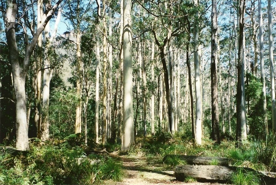 ChallengingBlue Gum Forest via Lockley Pylon11.8 km · 6 hr · At the trailheadPylon panoramas give way to a steep descent into blue gum forest.
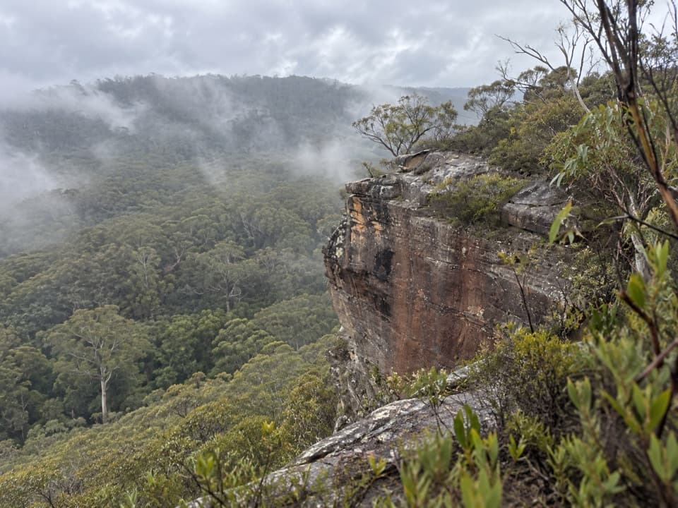 ModerateFlat Top Walk1 km · 36 min · 0.2 km awayA short, steep climb buys a wide Grose Valley outlook.
 ModerateFortress Ridge walking track7.4 km · 3 hr · 1 km awayWide Grose Valley views reward a rugged ridge walk.
 ChallengingDr Dark's Cave Walk3.2 km · 2 hr · 1 km awayA steep, unsigned scramble to a storied sandstone overhang.
 ModerateFortress Rock Lookout Walk2.9 km · 1.5 hr · 1 km awayOrange cliffs over the Grose Valley, on a short walk.
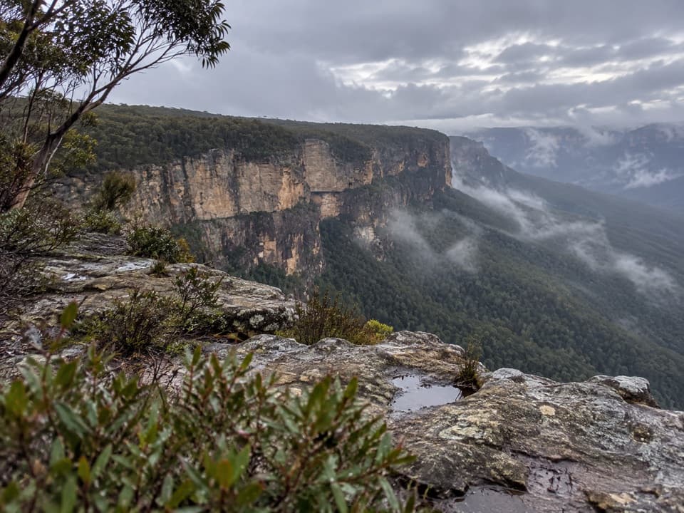 ModerateButterbox Point walking track3.3 km · 1.5 hr · 3.7 km awayGrose Valley views and ironstone shapes from a short ridge walk.
 ChallengingMount Hay summit walking track3.3 km · 2.5 hr · 3.7 km awaySteep climb to a forested summit above the Grose Valley.
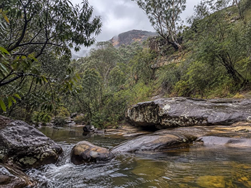 ModerateHorse Track to Junction Rock7.8 km · 4.5 hr · 4.3 km awayStair-heavy descent to cascades and pools at Junction Rock.
 Sight · 1.7 km awayFortress Rock LookoutA rugged, unfenced lookout over the Grose Valley.
 Sight · 3 km awayLockley PylonA rocky summit with a full sweep across the Grose Valley.
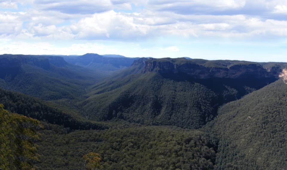 Sight · 4.2 km awayEvans lookoutA short, step-free stop above the forested Grose Valley.
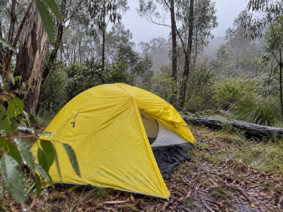 Campground · 4.4 km awayAcacia Flat campgroundA remote tent camp beside Blue Gum Forest.Sight · 4.9 km awayBlue Gum ForestWalk into the grove bushwalkers saved from the axe in 1931.
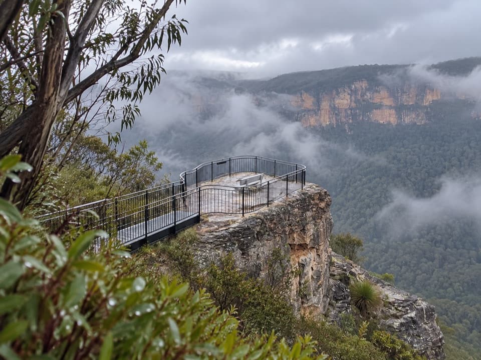 Sight · 5.2 km awayPulpit Rock lookoutStep down the rock blade for wide Grose Valley views.
 Sight · 6.1 km awayGovetts Leap lookoutSee the Grose Valley's cliffs without setting off on a bushwalk.
 Sight · 6.2 km awayPerrys LookdownBig Grose Valley views, with the Blue Gum Forest far below.
Parkwolf’s Blue Mountains ranking

The audio tour guide for the drive, plus offline maps, trails, and wildlife heatmaps for when the signal drops.