Parking
Wentworth Falls picnic area, at the end of Falls Road on the southern side of Wentworth Falls. Parking is available but can be limited on weekends.

#5 of 110 trails in Blue Mountains
Blue Mountains National Park, NSW
Cliff stairs, waterfalls and a rainforest climb back out
Overview
This is the full 5 km Wentworth Pass loop, starting and finishing at Wentworth Falls picnic area. It links the Jamison Valley lookout, the top and base of Wentworth Falls, the rugged pass into the upper Valley of the Waters, then climbs past Empress Falls to Conservation Hut and returns on Shortcut Track. Allow 4–5 hours. The Grade 4 route is steep and stair-heavy, with rough, narrow sections; it suits experienced bushwalkers who are comfortable on uneven cliff tracks. It’s a rewarding choice when you want a whole waterfall circuit rather than a quick lookout walk.
Map & elevation
Plan your hike

The highest, rockiest slopes around here are a summer buffet for grizzly bears.
Blue Mountains Tour Guide
Parkwolf is a GPS audio tour guide for Blue Mountains National Park. As you drive, it chimes in with what’s ahead: hidden gems, upcoming stops, history, geology, and wildlife, right through your car’s speakers.
See the Blue Mountains audio tourRecorded for this trailhead
Wentworth Falls from the Picnic Area“You're coming up on Wentworth Falls picnic area, the starting point for a close look at the waterfall.”
Plays as you drive up to this trailhead in the Parkwolf Blue Mountains Tour Guide.
More stories near here in the app
“Fantastic app with many points of information… It’s great to just turn on while you’re driving and it gives you an audio tour of the national Park. We love it!!!!”


Trail guide
Start at Wentworth Falls lookout for a wide view across Jamison Valley toward Mount Solitary. The route then follows the escarpment to the top of Wentworth Falls, where the view changes from the valley panorama to water spilling over the edge. From here, steep steps and a rough cliff track descend beside the falls. The lower pool is the most dramatic place to look back up at the cascade, and a good spot for a short pause before the route turns deeper into the valley.
Past the pool, the walk leaves the open lookout country for a narrow, rocky track through damp forest. Expect uneven rock steps, short scrambles and running water crossing the route. Tree ferns and moss-covered stones replace the drier eucalypt and angophora canopy as you descend. Some junctions are less obvious than the main stairways; yellow arrows mark the intended line where the tread is harder to pick out. Give other walkers room on narrow sections, especially where the footing is awkward.
The circuit follows the valley’s cascade line past Sylvia Falls and Empress Falls. The route keeps changing between stairs, rocky path and close views of flowing water, rather than giving you one long, level walk beside a single falls. Water volume changes with recent rain, and wet stone steps can be slippery. The steepest work is still ahead after the lower valley: the path climbs out through repeated stair sections, so save some energy for the return to the plateau.
Empress Lookout gives a breather and a view back toward the falls before the last uphill stretch to Conservation Hut. This is a sustained climb on stairs and forest track, not a gentle finish. Conservation Hut is a useful café stop near the top; toilets, picnic facilities and drinking water are available at the adjacent Valley of Waters picnic area. The lookout, lower pool and successive cascades make this a strong walk for waterfall photos, with very different views from above and below the falls.
From Conservation Hut, Shortcut Track completes the circuit back to Wentworth Falls picnic area. The stored distance is the complete loop from that picnic-area start, not a one-way figure. Parking is at the end of Falls Road, on the southern side of Wentworth Falls, and can be limited on weekends. The route is rough, very steep and has many steps and obstacles; mobile reception is limited in the park. Pets and domestic animals are not permitted, except certified assistance animals.
Wildlife
 58 sightingsGrey KangarooMost seen around 6 AMSighting map
 43 sightingsWombatMost seen around 6 PMSighting map
 18 sightingsRed-necked WallabyMost seen around 6 PMSighting map
 53 sightingsSwamp WallabyMost seen around 7 AMSighting map
 23 sightingsBrushtail PossumMost seen around 7 PMSighting map
 30 sightingsRing-tailed PossumMost seen around 7 PMSighting map
Sighting maps show where each species has been reported across Blue Mountains. Wildlife moves, so no sighting is guaranteed.
Keep exploring
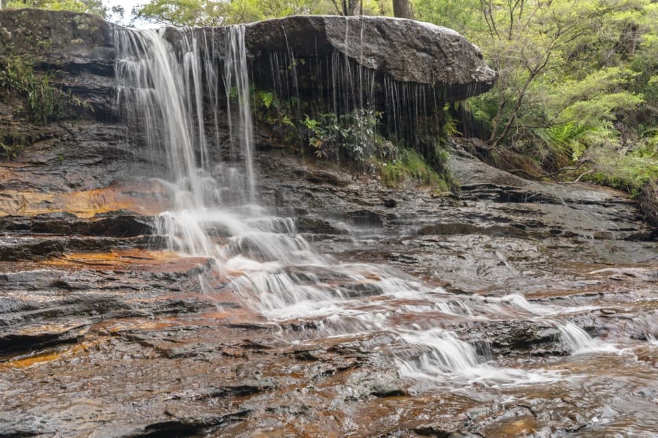 ModerateWeeping Rock circuit2 km · 1 hr · At the trailheadLookouts, steep steps and a creek waterfall on a compact loop.
 EasyPrinces Rock walking track0.8 km · 45 min · At the trailheadA short stepped walk reaches a historic lookout over Wentworth Falls.
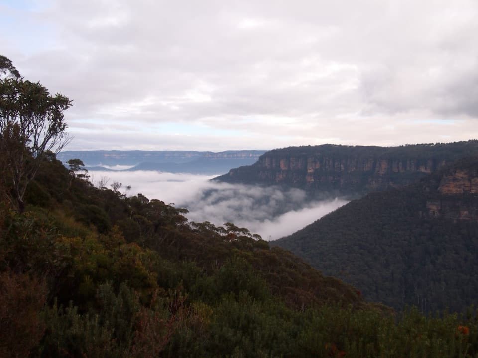 ModerateRocket Point lookout track2.4 km · 1.3 hr · At the trailheadStepping stones, a steep climb, and a close view of Wentworth Falls.
 ChallengingNational Pass5.1 km · 3 hr · 0.1 km awayA cliffside stairway links sandstone ledges, waterfalls, and valley views.
 ModerateDen Fenella walking track1 km · 54 min · 0.1 km awayA short stairway into tree-fern rainforest and a creekside cascade.
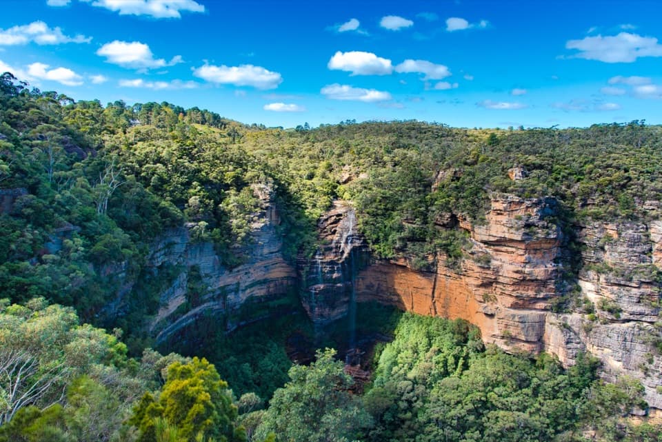 ModerateWentworth Falls track1.4 km · 53 min · 0.1 km awayShort, steep stairs lead to a 100-metre waterfall and valley views.
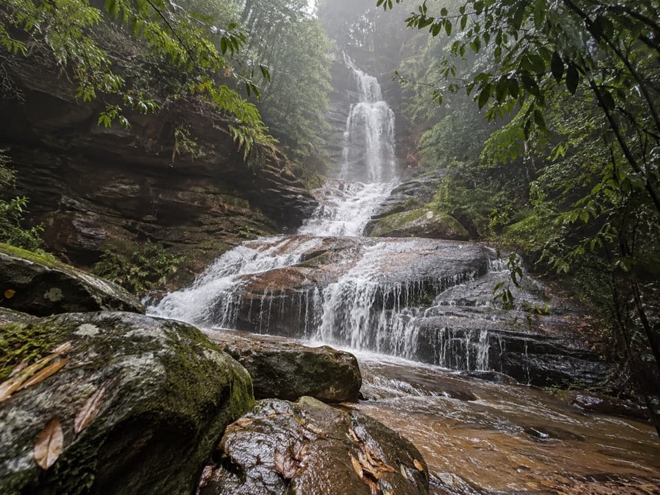 ModerateValley of the Waters Track1.1 km · 45 min · 0.8 km awayA steep, short return to a tiered waterfall in a ferny gorge.
 ModerateNature track3.3 km · 2 hr · 0.8 km awayShort Conservation Hut loop through fern gullies, falls and valley views.
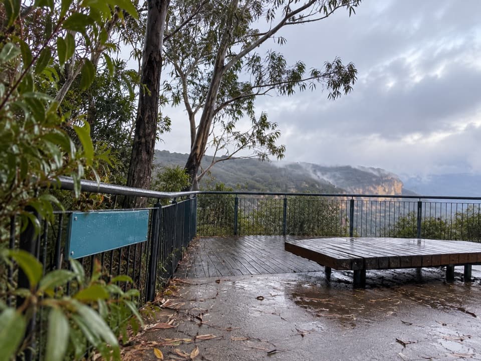 Picnic area · At the trailheadWentworth Falls picnic areaA picnic with Jamison Valley views and waterfall walks nearby.
 Sight · 0.3 km awayWentworth Falls LookoutSandstone cliffs open onto the Jamison Valley.
 Sight · 0.3 km awayPrinces Rock LookoutA close view of Wentworth Falls, reached by a stair-heavy track.
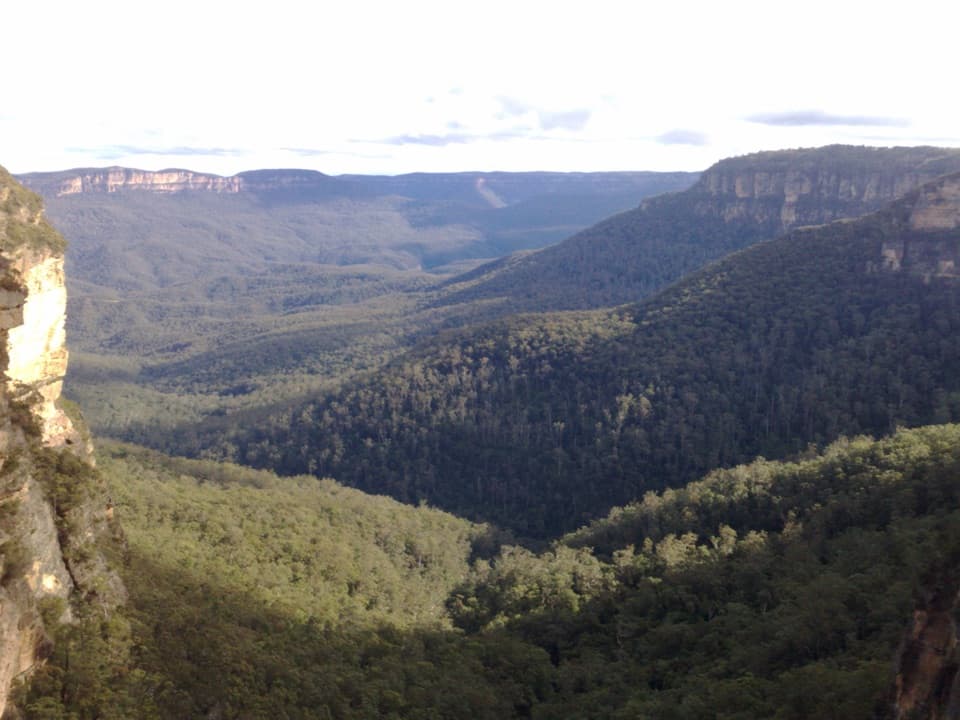 Sight · 0.5 km awayFletchers LookoutA 200-step descent gets you close to Wentworth Falls.
 Sight · 0.5 km awayRocket Point lookoutA steep spur gives you a different angle on Wentworth Falls.
 Sight · 0.5 km awayWentworth FallsA 100-metre plunge rewards the steep walk down.
 Sight · 0.6 km awayWeeping RockA sandstone creek cascade tucked off the Wentworth Falls circuit.
 Sight · 0.8 km awayValley of the Waters lookoutA level platform for the Jamison Valley, without the steep descent.
Parkwolf’s Blue Mountains ranking

The audio tour guide for the drive, plus offline maps, trails, and wildlife heatmaps for when the signal drops.



