James River Visitor Center and Canal Lock in Blue Ridge Parkway

Sight · Blue Ridge Parkway

James River Visitor Center and Canal Lock

Short loop to a historic lock beside the James River water gap.

Photo: NPS Photo

Type
Sight
Nearest trail
Right here
Audio stories
2 nearby
  • Visitor center
  • Exhibit
  • Parking
  • Restrooms
  • #40 of 217 sights

Hear the audio tour

James River: Walk to the Canal Lock
Download Parkwolf on the App StoreGet Parkwolf on Google Play

4.7 from 8,600+ ratings

Overview

About James River Visitor Center and Canal Lock

Why stop

  • Lock No. 7, its waste weir and towpath make canal engineering tangible.

Heads up

  • The lock route includes 39 stairs, with no step-free alternative verified.

Map

Where it is

Loading the Blue Ridge Parkway map
Full map
SightJames River Visitor Center and Canal Lock37.55516, -79.36590
Keep this map with you offline in the Parkwolf app

Plan your stop

Before you go

7 active Blue Ridge Parkway alerts

  • ClosureWeather closures near Craggy Gardens and southern ParkwayWeather closures block Parkway sections near Craggy Gardens and south of Beech Gap, as well as Mount Mitchell State Park and Heintooga Spur Road; do not enter closed roads. - MP 355.3–375.Official details
  • ClosureHurricane Helene closures and hazards in North CarolinaDo not enter closed Parkway sections, trails, facilities, or adjacent NPS lands in North Carolina; recreation is prohibited in the closed NC Highway 80–Mount Mitchell section. - The MP 344.2–355.Official details

See all 7 alerts
A park ranger sits on a dash-mounted phone, talking, as Parkwolf’s Tour Guide plays “Army Cutworm Moths: A Grizzly Bear Buffet” on Grand Loop Road below Dunraven Pass in Yellowstone
Parkwolf Tour GuideThe highest, rockiest slopes around here are a summer buffet for grizzly bears.

Blue Ridge Parkway Tour Guide

Your drive to James River Visitor Center and Canal Lock, narrated.

Parkwolf is a GPS audio tour guide for Blue Ridge Parkway. As you drive, it chimes in with what’s ahead: hidden gems, upcoming stops, history, geology, and wildlife, right through your car’s speakers.

See the Blue Ridge Parkway audio tour

Recorded for this place

James River: Walk to the Canal Lock
0:00 / 0:35
“Up ahead is James River Visitor Center, where a short walk reaches Battery Creek Lock Number Seven. I'd stop here for a close look at how canal boats once moved through the mountains.”

Plays as you drive up to James River Visitor Center and Canal Lock in the Parkwolf Blue Ridge Parkway Tour Guide.

More stories near here in the app

  • Otter Lake: Water, Dam and Beaver Signs
  • Otter Creek: Camping in the Low Valley
  • The White Branches Beside the Water
  • From Mule Path to Railway
  • 298 audio storiesacross Blue Ridge Parkway’s roads, triggered by GPS as you drive
  • Wildlife heatmapsfor Black Bear, Elk, White-tailed Deer, and 13 more
  • Works offlinemaps, 145 trails, 251 places, and audio download before you lose signal
  • CarPlay readysimple controls built for the drive
★★★★★
“…We knew we wanted to drive the Blue Ridge Parkway. The narration was impeccably timed. The facts and info provided were meaningful. Without it, the trip would not have been near as awesome.”
Ashl GApp Store review
Download Parkwolf on the App StoreGet Parkwolf on Google Play

4.7 from 8,600+ ratings

Guide

More about James River Visitor Center and Canal Lock

A compact canal history stopJames River Visitor Center and Canal Lock is an NPS history stop at Parkway Milepost 63.

James River Visitor Center and Canal Lock is an NPS history stop at Parkway Milepost 63.6, where the road reaches the James River Gorge. The main draw is Battery Creek Lock No. 7, a surviving piece of the 19th-century James River and Kanawha Canal, reached from the visitor-center area. The Canal Lock Trail is a 0.4-mile loop rated easy, but the route to the lock includes a footbridge and 39 stairs. The visitor-center building is seasonal, so check its status if you need indoor visitor services.

Follow the old canalThe trail slopes down to a footbridge beneath the Parkway bridge, crosses the James, then…

The trail slopes down to a footbridge beneath the Parkway bridge, crosses the James, then descends to the south bank. From there the towpath and canal prism pass Lock No. 7, a waste weir and the slackwater connection. Four exhibits explain how the canal worked. It's a short route, but the stairs make the lock approach a real barrier; a step-free route to the lock hasn't been verified.

A canal with a bigger planGeorge Washington proposed a James-to-Kanawha canal in the 1780s as a way to connect Atlantic…

George Washington proposed a James-to-Kanawha canal in the 1780s as a way to connect Atlantic trade with the Ohio River Valley. The canal operated from 1821 to 1877, carrying finished goods inland and raw materials downstream through nearly 100 locks. Battery Creek Lock No. 7 was built in 1849 and restored in the mid-1960s. Seeing one lock makes the scale of that old transportation plan easier to grasp.

Look upriverThe footbridge beneath the Parkway bridge puts you at river level.

The footbridge beneath the Parkway bridge puts you at river level. Look upstream toward the James River Water Gap, one of the rare places where a river cuts through the mountains. For a photo, include the river beneath the Parkway bridge; the lock's stone walls make a closer detail from the south bank.

Food, restrooms and picnic tablesNo food service is listed at the visitor center.

No food service is listed at the visitor center. The separate James River Picnic Area beside the river is a seasonal brown-bag stop with tables. NPS lists seasonal flush restrooms for the trail area, so don't count on them being open year-round. Parking is by the visitor-center area; capacity and fees weren't found in the sources reviewed.

At the Parkway's lowest stretchThe James River area sits at about 649 feet, the Parkway's lowest elevation.

The James River area sits at about 649 feet, the Parkway's lowest elevation. The warmer, water-rich valley supports plant and animal communities unlike the higher ridge stops. The nearby Trail of Trees follows a shaded stream drainage, with signs identifying local trees and shrubs, and offers another short way to see this lower river setting.

Wildlife

Wildlife in Blue Ridge Parkway

All Blue Ridge Parkway wildlife maps

Sighting maps show where each species has been reported across Blue Ridge Parkway. Wildlife moves, so no sighting is guaranteed.

Parkwolf’s Blue Ridge Parkway ranking

Top sights in Blue Ridge Parkway

All 251 places
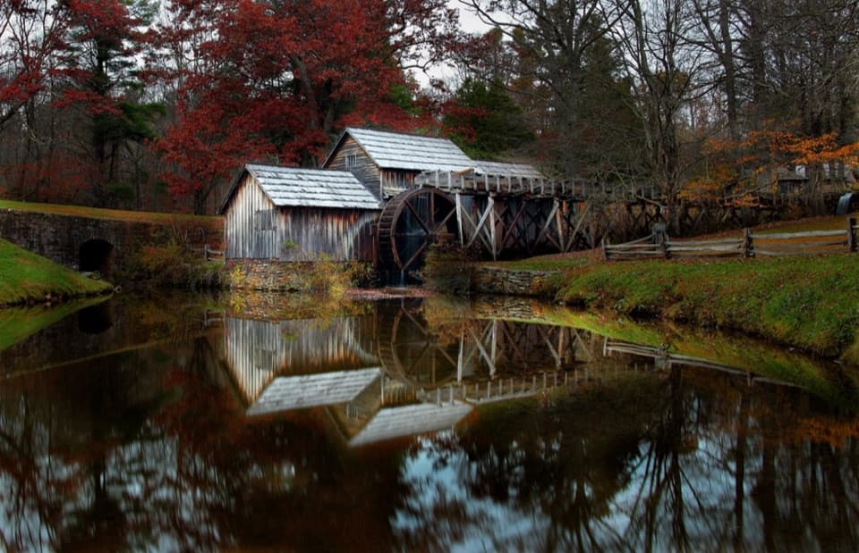
  1. 1Mabry MillSight
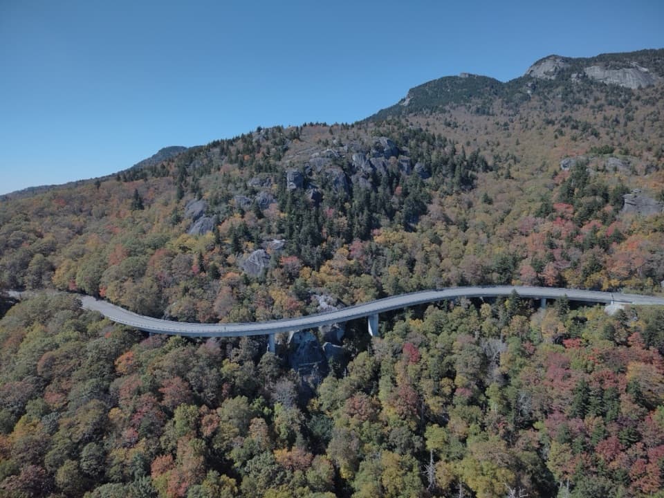
  2. 2Linn Cove ViaductSight
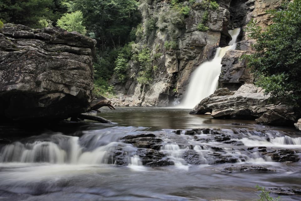
  3. 3Linville FallsSight
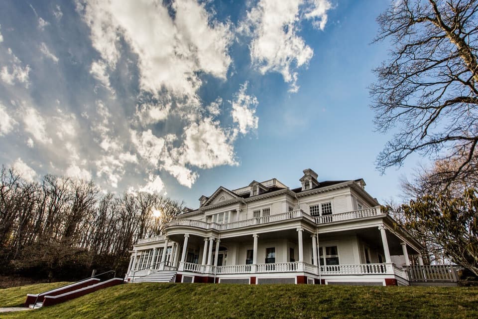
  4. 4Moses H. Cone Memorial Park and Flat Top ManorSight
  5. 5Mount Mitchell SummitSight
  6. 6Craggy PinnacleSight

Take Parkwolf to Blue Ridge Parkway.

The audio tour guide for the drive, plus offline maps, trails, and wildlife heatmaps for when the signal drops.

4.7 from 8,600+ ratings

Download Parkwolf on the App StoreGet Parkwolf on Google Play