Parking
Park at the James River Visitor Center on the Blue Ridge Parkway; the loop begins directly from the visitor center area.
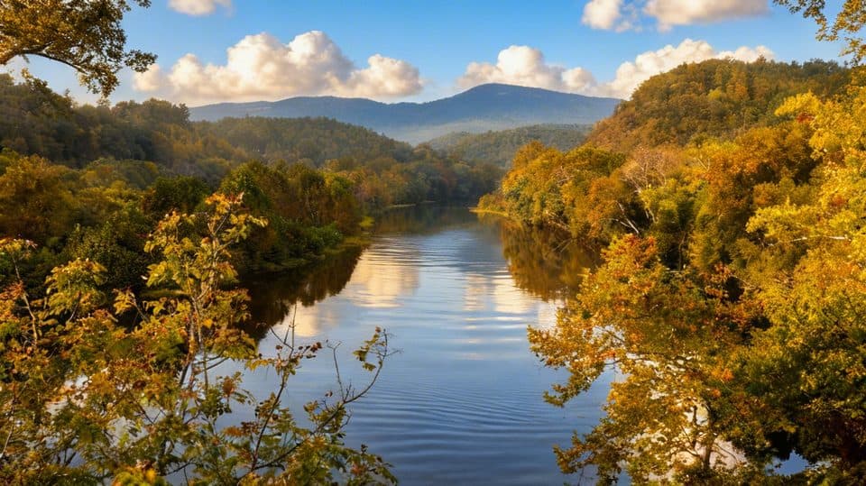
Blue Ridge Parkway, NC · VA
Shaded riverside loop with tree ID signs and James River overlooks
Overview
A short, self-guided loop that packs in river views, deep shade, and smart interpretive signs about native trees—this is the Parkway’s lowland mood swing at the James River crossing. It’s about a 0.5-mile total loop, meant for a leg-stretch and a little learning rather than a workout. Expect a peaceful, green tunnel vibe with occasional openings toward the water and the Parkway bridge area. Designed as an easy nature walk from the visitor center area, it’s ideal for mixed groups and families nps.gov, blueridgeparkway.org.
 Parkwolf’s verdictWhy this hike
Map & elevation
Plan your hike

The highest, rockiest slopes around here are a summer buffet for grizzly bears.
Blue Ridge Parkway Tour Guide
Parkwolf is a GPS audio tour guide for Blue Ridge Parkway. As you drive, it chimes in with what’s ahead: hidden gems, upcoming stops, history, geology, and wildlife, right through your car’s speakers.
See the Blue Ridge Parkway audio tourRecorded for this trailhead
James River: Canal Locks and Bridge Views“The Parkway is about to dip down to its lowest elevation at the James River Visitor Center. This stop is all about transportation history.”
Plays as you drive up to this trailhead in the Parkwolf Blue Ridge Parkway Tour Guide.
More stories near here in the app
“…We knew we wanted to drive the Blue Ridge Parkway. The narration was impeccably timed. The facts and info provided were meaningful. Without it, the trip would not have been near as awesome.”


Trail guide
The loop meanders through the James River floodplain and adjacent woods. It’s mostly gentle, but there are brief stair climbs and short ups/downs that add a little spark—still firmly an easy walk for most. Footing is natural/compacted path with occasional damp spots; it can be slick after rain. Plan 20–30 minutes at a relaxed pace, more if you stop to read the waysides.
This is a riparian forest sampler with wayside panels identifying trees and explaining the James River Valley’s ecology. You’ll find multiple vantage points toward the river, including an observation-style viewing area, and the loop’s upper/lower segments give subtly different perspectives. It’s also a nice birding stop thanks to the river corridor. Nearby, the Parkway reaches its lowest elevation, giving this walk a lush, lowland feel very different from the high-elevation trails up-road blueridgeparkway.org.
Park at the James River Visitor Center; the loop starts steps from the complex, with restrooms and water seasonally available there nps.gov. Wear sturdy shoes—sections are uneven and can stay damp after rain. Bug spray is wise in warm months. If you want more, pair this with the adjacent Canal Lock Trail to see a restored lock and interpretive exhibits—together they give you both the natural and cultural sides of this river crossing nps.gov, blueridgeparkway.org.
Wildlife
 1,208 sightingsBlack BearMost seen around 7 AMSighting map
 1,020 sightingsElkMost seen around 7 AMSighting map
 2,257 sightingsWhite-tailed DeerMost seen around 6 PMSighting map
 200 sightingsCoyoteMost seen around 6 PMSighting map
 1,126 sightingsWild TurkeyMost seen around 7 AMSighting map
 255 sightingsRed-tailed HawkMost seen around 11 AMSighting map
Sighting maps show where each species has been reported across Blue Ridge Parkway. Wildlife moves, so no sighting is guaranteed.
Keep exploring
 EasyJames River Canal Lock Trail0.4 mi · 20 min · At the trailheadShort out-and-back to Battery Creek Lock with a James River footbridge crossing
 EasyCanal Lock Trail0.5 mi · 20 min · At the trailheadShort, easy out-and-back to a restored James River canal lock with views
 EasyOtter Lake Loop Trail0.9 mi · 45 min · 0.5 mi awayShort lakeside loop with a steep start and quiet, forested feel
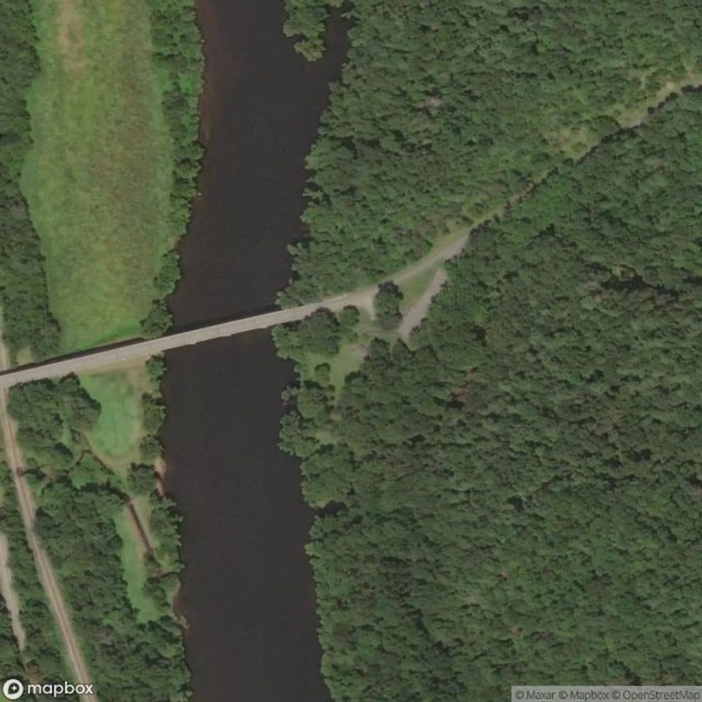 EasyOtter Creek Trail3.5 mi · 2 hr · 2 mi awayGentle 3.5-mile point-to-point creekside trail from Otter Creek Campground to James River Visitor Center
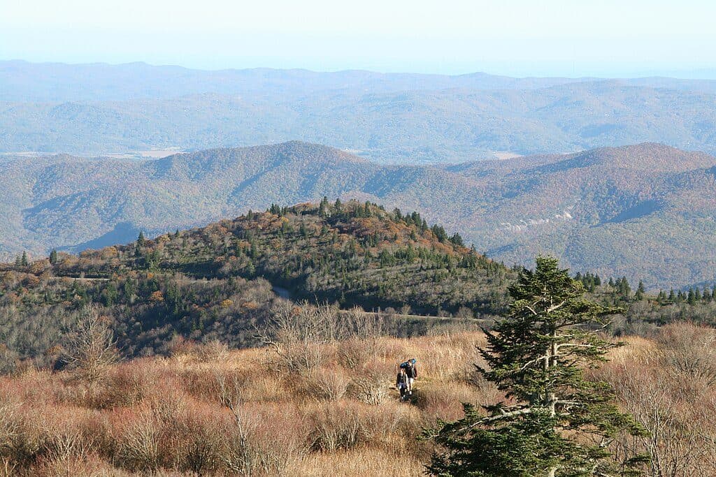 ModerateAppalachian Trail (Parkway corridor)5.2 mi · 3 hr · 6.9 mi awayModerate Appalachian Trail out-and-back from Thunder Ridge to Apple Orchard Mountain
 EasyThunder Ridge Nature Trail0.2 mi · 10 min · 6.9 mi awayShort, easy loop to a stone-walled overlook with Arnold Valley views and a brief Appalachian Trail section.
 ChallengingApple Orchard Falls Trail2.8 mi · 2.5 hr · 9.3 mi awayBlue-blazed descent to a 200-foot waterfall, with a hard climb back
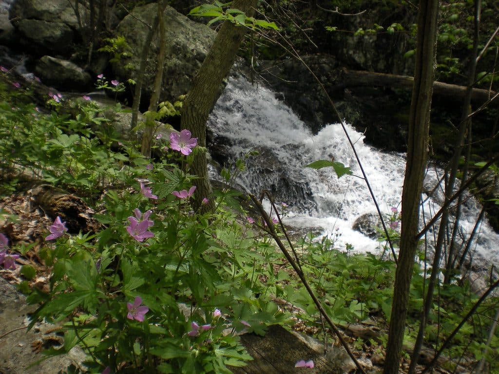 ModerateFallingwater Cascades Loop1.6 mi · 1 hr · 13 mi awayModerate 1.6-mile waterfall loop with cascades, rhododendron, and a real climb out.
 Visitor center · At the trailheadJames River Visitor CenterRiverside stop with canal history, short trails, and big river views
 Sight · 2.1 mi awayOtter Creek Recreation AreaLow-elevation creek haven with trails, fishing, and quiet camping
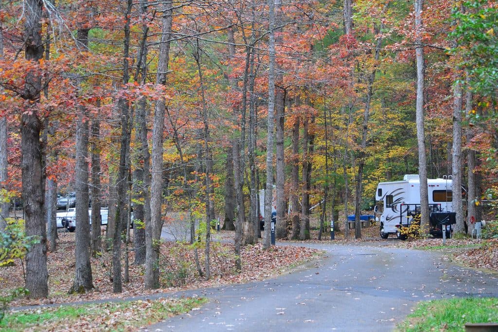 Campground · 2.1 mi awayOtter Creek CampgroundQuiet creekside campground at the Parkway’s lowest elevation
 Scenic pullout · 6.9 mi awayThunder Ridge OverlookQuiet overlook with Arnold Valley views and a taste of the AT
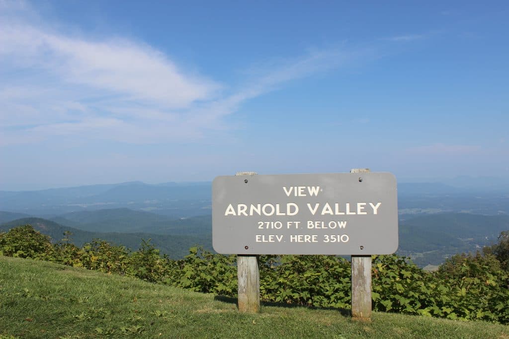 Sight · 7.4 mi awayArnold Valley OverlookBig western views and sunsets over Arnold Valley
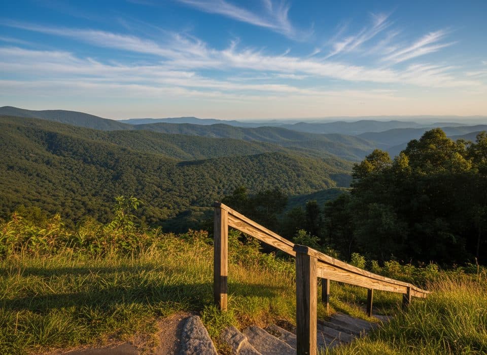 Scenic pullout · 7.9 mi awayBluff Mountain OverlookCompact overlook facing Bluff Mountain and Otter Creek headwaters
 Scenic pullout · 7.9 mi awayApple Orchard Mountain OverlookVirginia’s highest Parkway overlook with easy, big-sky sunrise views
 Trailhead · 9.3 mi awaySunset FieldsBusy trailhead for Apple Orchard Falls, not much of a view
Parkwolf’s Blue Ridge Parkway ranking
The audio tour guide for the drive, plus offline maps, trails, and wildlife heatmaps for when the signal drops.





