Oconaluftee Overlook in Blue Ridge Parkway

Scenic pullout · Blue Ridge Parkway

Oconaluftee Overlook

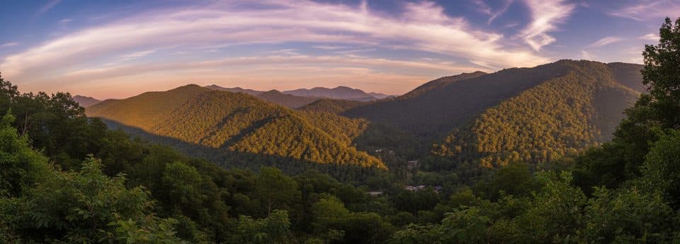
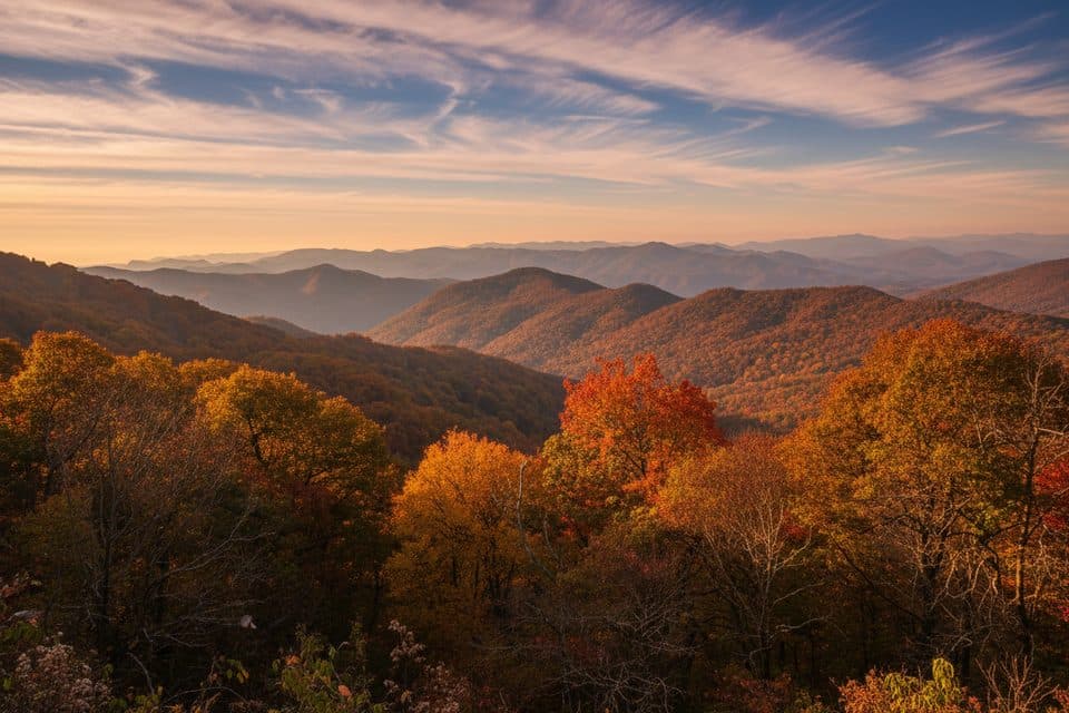
First Parkway overlook near Cherokee with a mostly forested valley view

Type
Scenic pullout
Audio stories
4 nearby
  • Pullout
  • Parking
  • Scenic viewpoint

Hear the audio tour

Oconaluftee Overlook: The First Stop

Overview

About Oconaluftee Overlook

Oconaluftee Overlook sits near the Parkway’s southern gateway by Cherokee, making it a natural first pull-off as you head north. It’s a straightforward, paved stop designed for a quick look across the Oconaluftee valley before you settle into the drive.

Why stop

  • Quick first stop just after the Parkway’s southern entrance
  • Paved pull-off with easy, convenient parking

Heads up

  • River view is largely blocked by vegetation
  • No facilities on site
It’s the handy, “you’re on the Parkway now” moment: park, stretch, grab a first photo, and move on to bigger vistas up the road. If you’re starting in Cherokee, this is the easiest way to ease into the scenery without hunting for a trail.
Parkwolf’s verdictWhy Stop Here

Map

Where it is

Loading the Blue Ridge Parkway map
Full map
Scenic pulloutOconaluftee Overlook35.51308, -83.29398
Keep this map with you offline in the Parkwolf app

Local know-how

Tips for visiting Oconaluftee Overlook

  1. Aim for MP 468.4 near the southern entrance so you don’t miss it.

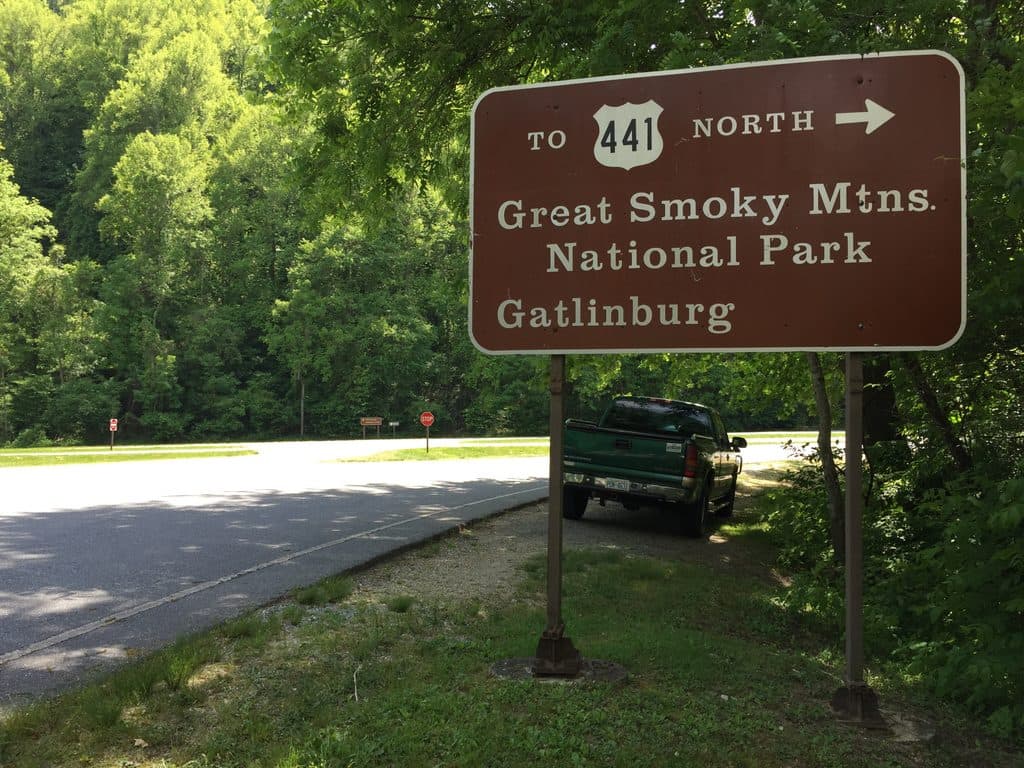
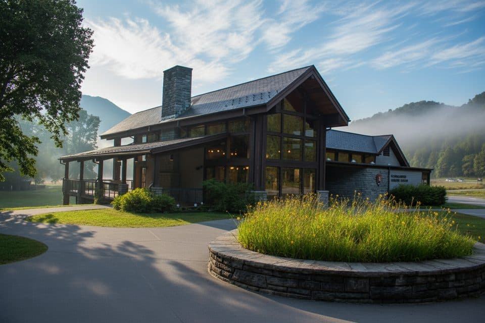
  2. No facilities here—use the Oconaluftee Visitor Center on US 441.

  3. Expect a mostly forested view; the river itself is typically obscured.

  4. Make it a quick stop, then continue north for more expansive overlooks.

Plan your stop

Before you go

Best time to visit

Weekdays and early mornings are the quietest. Fall color season is pretty here, though midday and weekends draw more cars. If you’re chasing grander views or light, treat this as a brief stop and continue to additional overlooks north along the Parkway.

2 active Blue Ridge Parkway alerts

  • ClosureNorth Carolina Helene-related closuresAvoid the closed Parkway section from MP 344.2–355.3; recreation of any kind is prohibited there.Official details
  • ClosureVirginia Parkway closures and detourFollow the signed detour around the closed James River Bridge and avoid the closed Roanoke Mountain Loop. - James River Bridge (MP 63.5–63.Official details
Blue Ridge Parkway alerts
A park ranger sits on a dash-mounted phone, talking, as Parkwolf’s Tour Guide plays “Army Cutworm Moths: A Grizzly Bear Buffet” on Grand Loop Road below Dunraven Pass in Yellowstone
Parkwolf Tour GuideThe highest, rockiest slopes around here are a summer buffet for grizzly bears.

Blue Ridge Parkway Tour Guide

Your drive to Oconaluftee Overlook, narrated.

Parkwolf is a GPS audio tour guide for Blue Ridge Parkway. As you drive, it chimes in with what’s ahead: hidden gems, upcoming stops, history, geology, and wildlife, right through your car’s speakers.

See the Blue Ridge Parkway audio tour

Recorded for this place

Oconaluftee Overlook: The First Stop
Listen
“The pullout for Oconaluftee Overlook is coming up. Since it's right at the southern end of the Parkway, it serves as a natural first stop if you're coming from Cherokee.”

Plays as you drive up to Oconaluftee Overlook in the Parkwolf Blue Ridge Parkway Tour Guide.

More stories near here in the app

  • Stone Fish Weirs of the Oconaluftee
  • Ballhoot Scar Overlook and its Logging History
  • Oconaluftee: Where the Parkway Meets the Smokies
  • Thomas Divide Overlook and its Mysterious Lights
  • 277 audio storiesacross Blue Ridge Parkway’s roads, triggered by GPS as you drive
  • Wildlife heatmapsfor Black Bear, Elk, White-tailed Deer, and 13 more
  • Works offlinemaps, 112 trails, 232 places, and audio download before you lose signal
  • CarPlay readysimple controls built for the drive
★★★★★
“…We knew we wanted to drive the Blue Ridge Parkway. The narration was impeccably timed. The facts and info provided were meaningful. Without it, the trip would not have been near as awesome.”
Ashl GApp Store review
Download Parkwolf on the App StoreGet Parkwolf on Google Play

4.7 from 8,600+ ratings

Guide

More about Oconaluftee Overlook

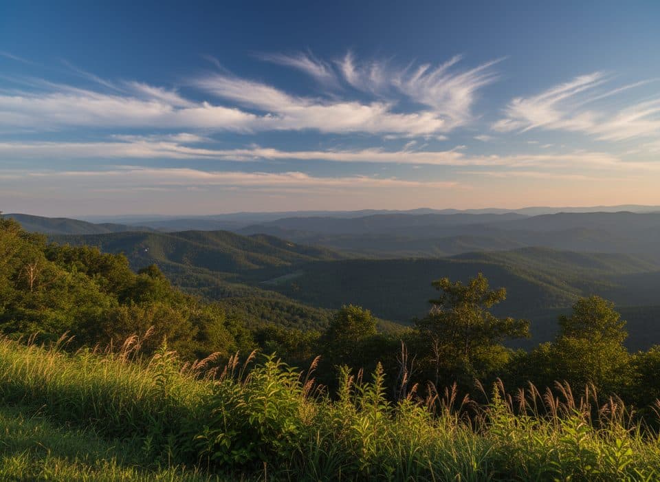
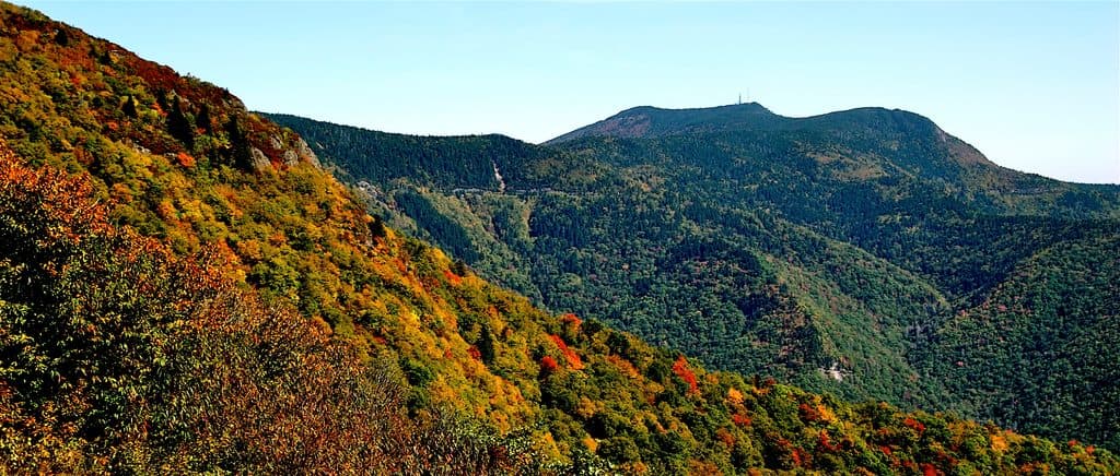
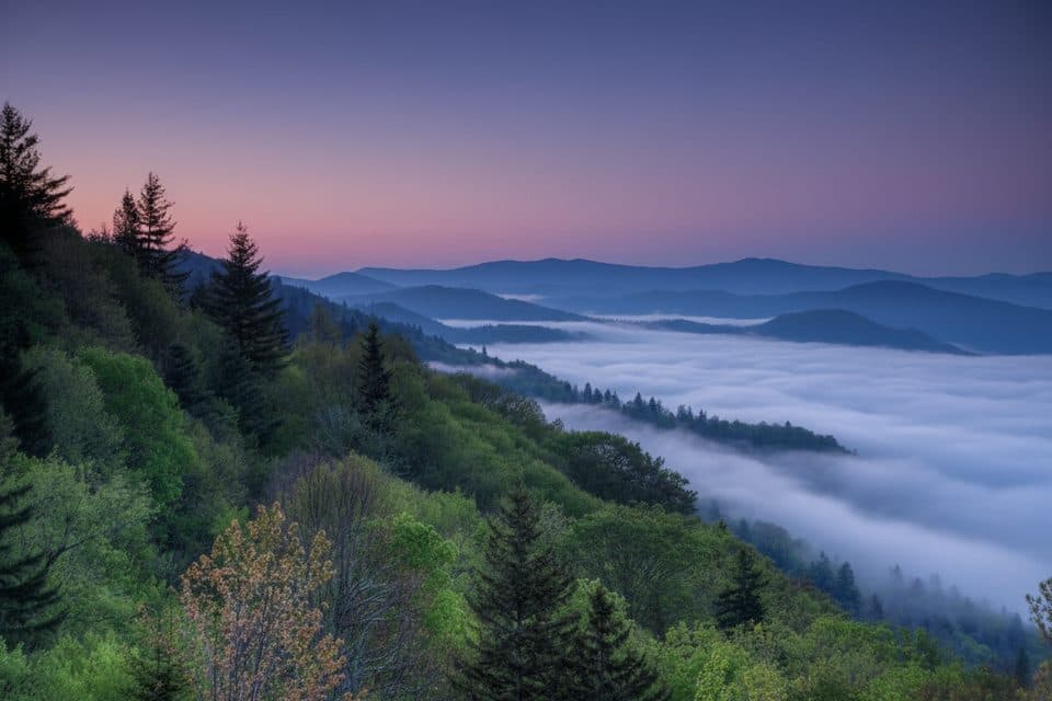
What You'll SeeExpect a mostly forested, green panorama with layered ridges beyond.

Expect a mostly forested, green panorama with layered ridges beyond. Despite the name, you generally won’t spot the actual Oconaluftee River from here—the vegetation has grown in and obscures that sightline.

Good to KnowMilepost reference: around MP 468.4 near the southern terminus.
  • Milepost reference: around MP 468.4 near the southern terminus.
  • No restrooms, water, or tables here. The nearest services are at the Oconaluftee Visitor Center on US 441 (in Great Smoky Mountains National Park), which is separate from this overlook.
  • Don’t confuse this with similarly named spots in the Smokies, like the “Oconaluftee Valley Overlook,” which is a different location.
Name Note“Oconaluftee” traces back to a historic Cherokee village name along the river—this overlook…

“Oconaluftee” traces back to a historic Cherokee village name along the river—this overlook nods to that valley and its cultural roots.

Wildlife

Wildlife in Blue Ridge Parkway

All Blue Ridge Parkway wildlife maps

Sighting maps show where each species has been reported across Blue Ridge Parkway. Wildlife moves, so no sighting is guaranteed.

Parkwolf’s Blue Ridge Parkway ranking

Top sights in Blue Ridge Parkway

All 232 places
  1. 1Linn Cove ViaductSight
  2. 2Mount MitchellSight
  3. 3Mount Mitchell State ParkSight
  4. 4Craggy Pinnacle OverlookSight
  5. 5Linville FallsSight
  6. 6Peaks of OtterSight

Take Parkwolf to Blue Ridge Parkway.

The audio tour guide for the drive, plus offline maps, trails, and wildlife heatmaps for when the signal drops.

4.7 from 8,600+ ratings

Download Parkwolf on the App StoreGet Parkwolf on Google Play