Place · 0.5 mi away

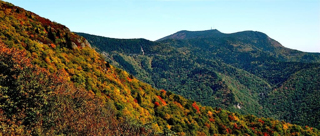
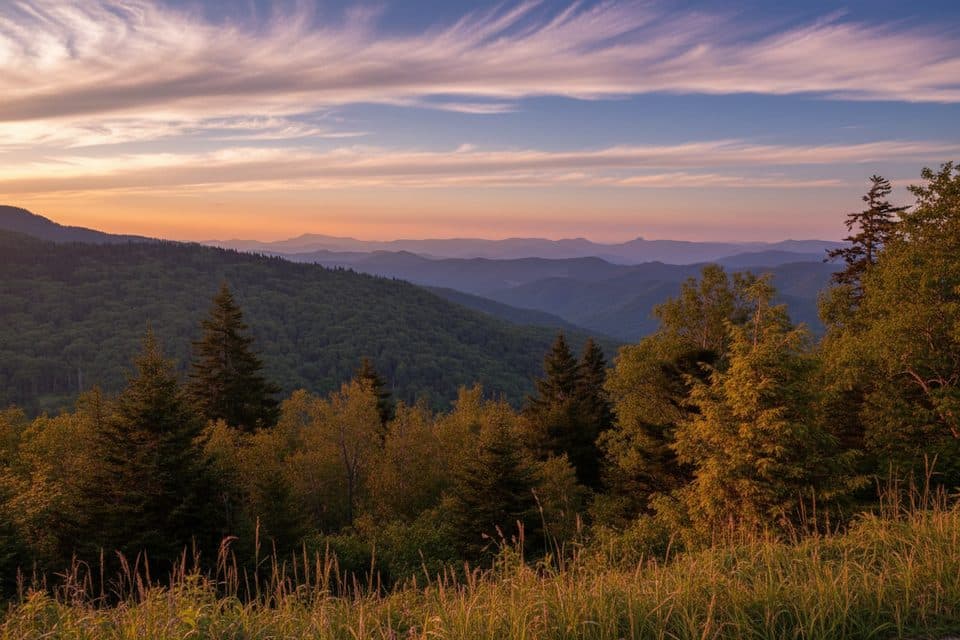
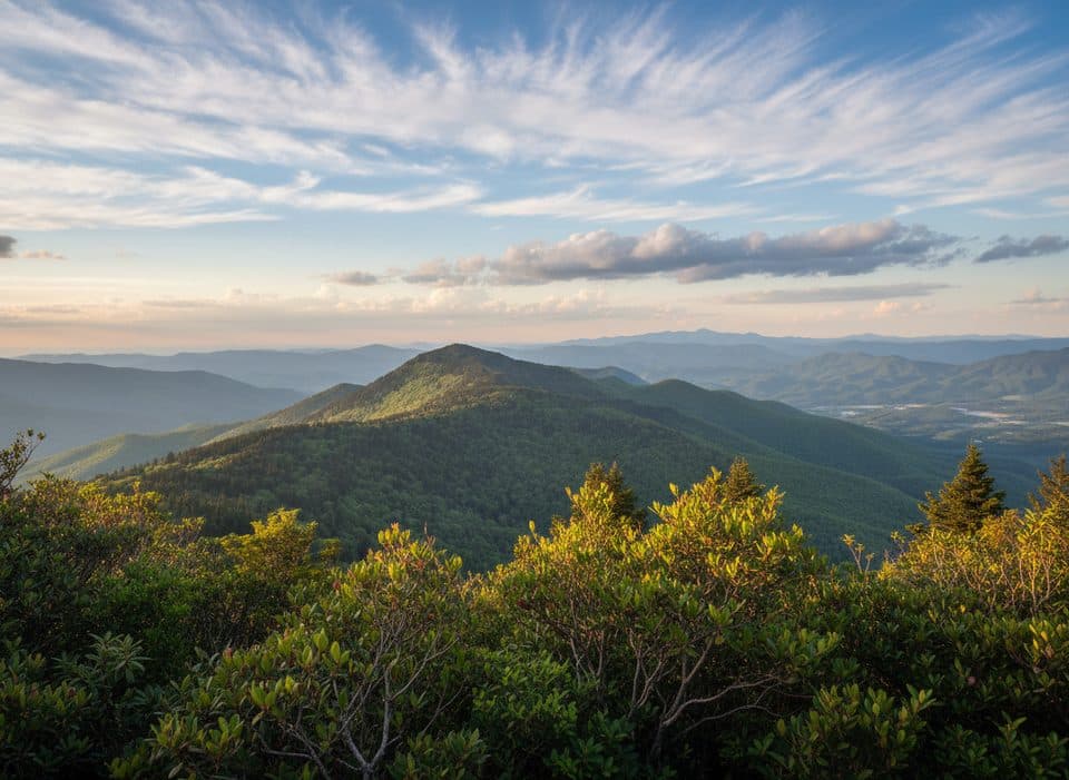
A quick side road off the Parkway at MP 355.4 (NC 128) takes you to the highest point east of the Mississippi, with a short, paved path to an observation deck delivering 360-degree panoramas. On clear days you can see up to 85 miles. The summit complex is more developed than most mountain tops—think museum, gift shop, seasonal restaurant, restrooms, and lots of picnic space—so it’s an easy, rewarding stop.
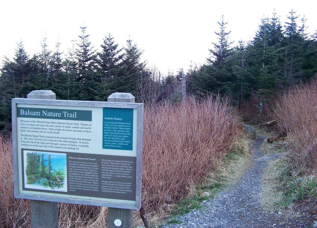
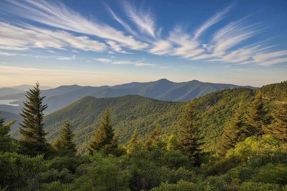
Mount Mitchell’s elevation creates a rare Southern Appalachian spruce–fir forest—a cool, mossy “Canadian zone” ecosystem you won’t find elsewhere on the Parkway at this scale. It’s also North Carolina’s first state park (est. 1915), named for scientist Elisha Mitchell, whose work confirmed this as the East’s highest peak.
This high-elevation enclave is a birding hotspot with 91 recorded species. The signature sights are the spruce–fir stands and Fraser firs—plants and mosses more typical of far northern latitudes thanks to the mountain’s cool, wet climate.
Weather here is fickle and often much colder, windier, and wetter than the valleys—pack layers even in summer. The Parkway and NC 128 can close during winter or bad weather, so check status before you go. Expect crowds in warm months and during fall color; if the summit lot is full, you may have to park lower and walk uphill.
Elisha Mitchell’s 1830s measurements identified this as the East’s highest peak; he later died exploring its slopes. The state protected the mountain in 1915, making this North Carolina’s oldest state park.