
Place · 0 mi away
Challenging
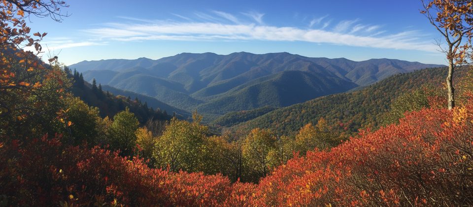
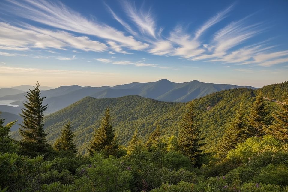
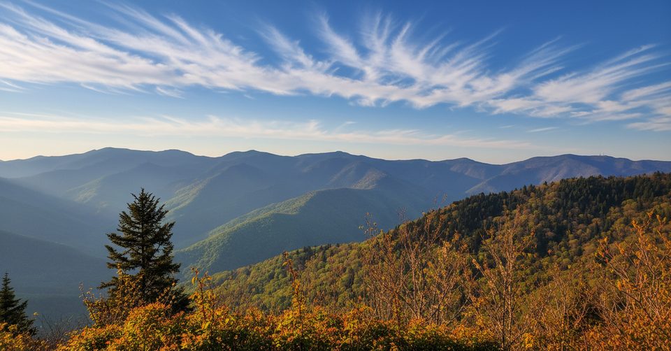
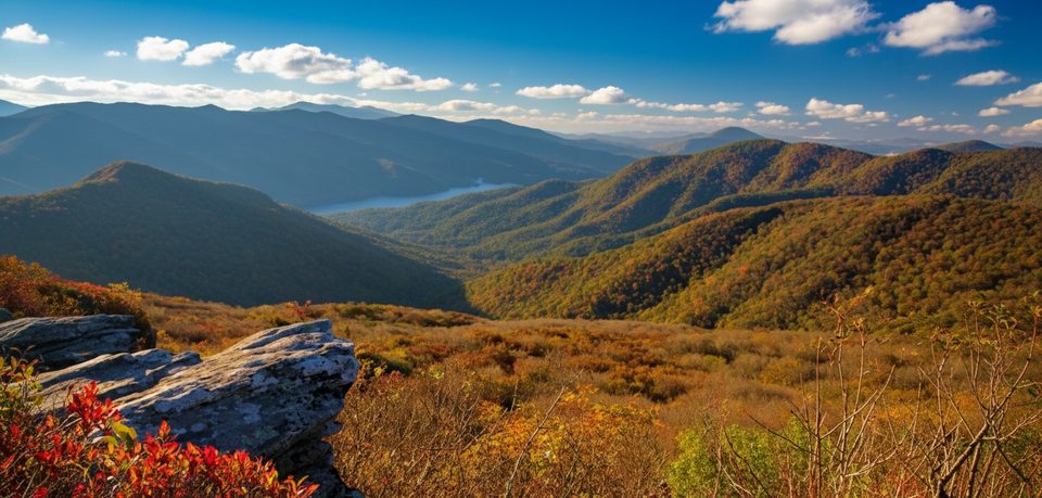
If you like quiet ridge walking with real mountain payoff, this one delivers. The Big Butt Trail rides a high, cool spine above 5,000 feet in Pisgah National Forest, with periodic windows to the Black Mountains and even Mt. Mitchell. It’s less trafficked than many Parkway staples, so you get the views without the parade.
Most hikers do the out-and-back from Walker Knob Overlook to Little Butt: about 6.0 miles round-trip with roughly 1,300 feet of total gain. Look for the wooden “Little Butt 3 miles” sign at the start. The path begins broader, then narrows to singletrack and can be brushy in spots. The official trail continues beyond Little Butt along the ridge toward Cane River Gap for a longer, more committing traverse, but the signed route does not actually tag Big Butt’s true summit. If you’re peak‑curious, there’s a subtle, overgrown spur near the east side of the summit cone—easy to miss.
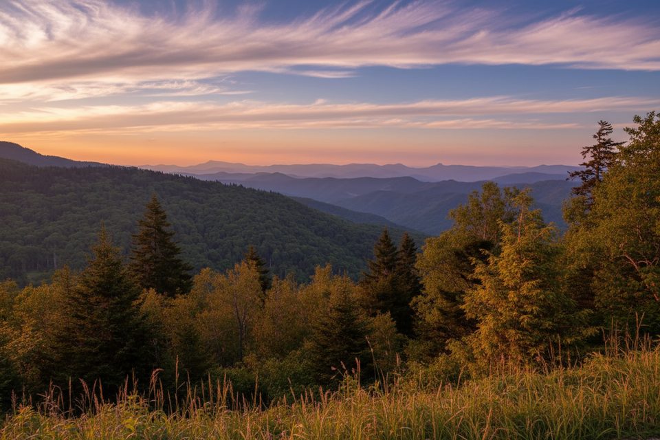
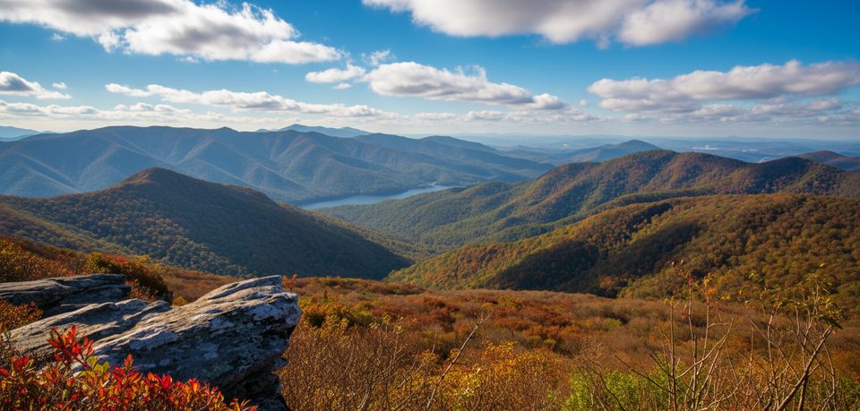
Expect alternating forest tunnels and open perches. You’ll pass rare-for-the-Southeast spruce–fir stands and spring wildflower carpets, with big looks into the Cane River Valley and across to the Black Mountains. Little Butt is the marquee viewpoint and a great turnaround for photos and a snack.
Call it moderate to strenuous: rolling ridge climbs, some rocky/rootsy footing, and stretches that grow in by summer. It’s signed at the trailhead and generally straightforward, but do keep an eye on the tread in brushy sections.
Conditions on ridge trails change fast. After storms, blowdowns or temporary closures can pop up—check current conditions before you go.
Park at Walker Knob Overlook on the Blue Ridge Parkway; look for the wooden “Little Butt 3 miles” sign at the far side of the lot. Paved parking; no restrooms or water.
Expect overgrown sections, slick roots/rocks after rain, and winter ice. No water on the ridge. The Big Butt summit spur is subtle; easy to miss. Check for storm-related closures before you go.
Place · 0 mi away
Place · 1.1 mi away
Place · 3.1 mi away
Place · 3.8 mi away
Challenging · 0 mi away
Challenging · 2.7 mi away
Easy · 3.8 mi away
Easy · 3.8 mi away

Parkwolf Tour Guide
