Parking
Park at the Rough Ridge Lookout area on the Blue Ridge Parkway near Milepost 302.8. The lot is limited and popular, so arrive early. Check the official Parkway site for access information before driving.

#2 of 112 trails in Blue Ridge Parkway
Blue Ridge Parkway, NC · VA
A short, rocky Tanawha Trail climb to boardwalks, cables, and sweeping Blue Ridge views
Overview
Rough Ridge is a short, spirited out-and-back on the Tanawha Trail with unusually large views for the mileage. From the Rough Ridge Lookout on the Blue Ridge Parkway, the trail climbs through spruce and hardwood forest to rocky ledges, a protective boardwalk, and broad views toward Grandfather Mountain, the Linn Cove Viaduct, and the Blue Ridge escarpment.
 Parkwolf’s verdictWhy hike it
Map & elevation
Plan your hike

The highest, rockiest slopes around here are a summer buffet for grizzly bears.
Blue Ridge Parkway Tour Guide
Parkwolf is a GPS audio tour guide for Blue Ridge Parkway. As you drive, it chimes in with what’s ahead: hidden gems, upcoming stops, history, geology, and wildlife, right through your car’s speakers.
See the Blue Ridge Parkway audio tourRecorded for this trailhead
Rough Ridge: A Famous Short Hike with Big Views“The pullout you're seeing is for Rough Ridge, which is probably the most famous short hike on the Parkway.”
Plays as you drive up to this trailhead in the Parkwolf Blue Ridge Parkway Tour Guide.
More stories near here in the app
“…We knew we wanted to drive the Blue Ridge Parkway. The narration was impeccably timed. The facts and info provided were meaningful. Without it, the trip would not have been near as awesome.”


Trail guide
The classic outing is about 1.2 miles round trip from the Rough Ridge Lookout, with roughly 374 feet of elevation gain and 30 minutes to 1 hour on the trail. The stored line follows the physical outbound corridor once, from the lookout to the upper Rough Ridge rocks; visitors retrace that corridor to return. The boardwalk arrives after about 0.3 mile, with the upper rocks and cable-assisted sections farther along.
The route begins at the lookout and climbs on rocky, rooty tread with log and stone steps. Boardwalks protect the exposed plant community, while cables assist the final rocky approach. The footing can be slick after rain, and the open ridge is windier and cooler than the forest below.
Use the Rough Ridge Lookout parking area near Blue Ridge Parkway Milepost 302.8 and arrive early because the lot is limited and popular. Stay on the designated path and boardwalk to protect fragile mountain-heath vegetation. Pets are prohibited on this section of the Tanawha Trail. Check the official Parkway site for access information before setting out, especially in winter.
Wildlife
 1,208 sightingsBlack BearMost seen around 7 AMSighting map
 1,020 sightingsElkMost seen around 7 AMSighting map
 2,257 sightingsWhite-tailed DeerMost seen around 6 PMSighting map
 200 sightingsCoyoteMost seen around 6 PMSighting map
 1,126 sightingsWild TurkeyMost seen around 7 AMSighting map
 255 sightingsRed-tailed HawkMost seen around 11 AMSighting map
Sighting maps show where each species has been reported across Blue Ridge Parkway. Wildlife moves, so no sighting is guaranteed.
Keep exploring
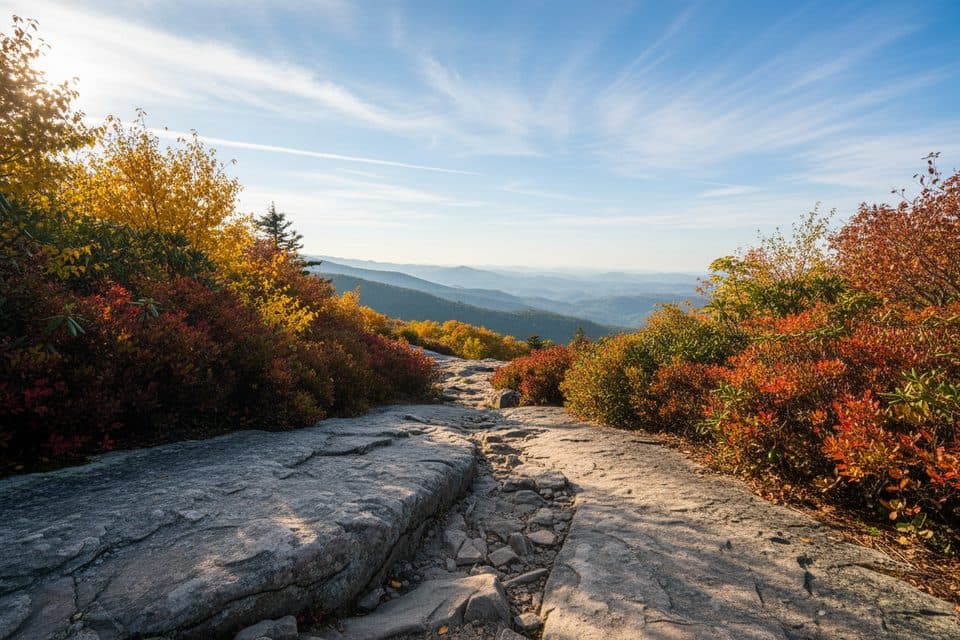 EasyLinn Cove Viaduct Access Trail0.2 mi · 15 min · 1 mi awayEasy paved walk to the viaduct's best up-close viewpoint.
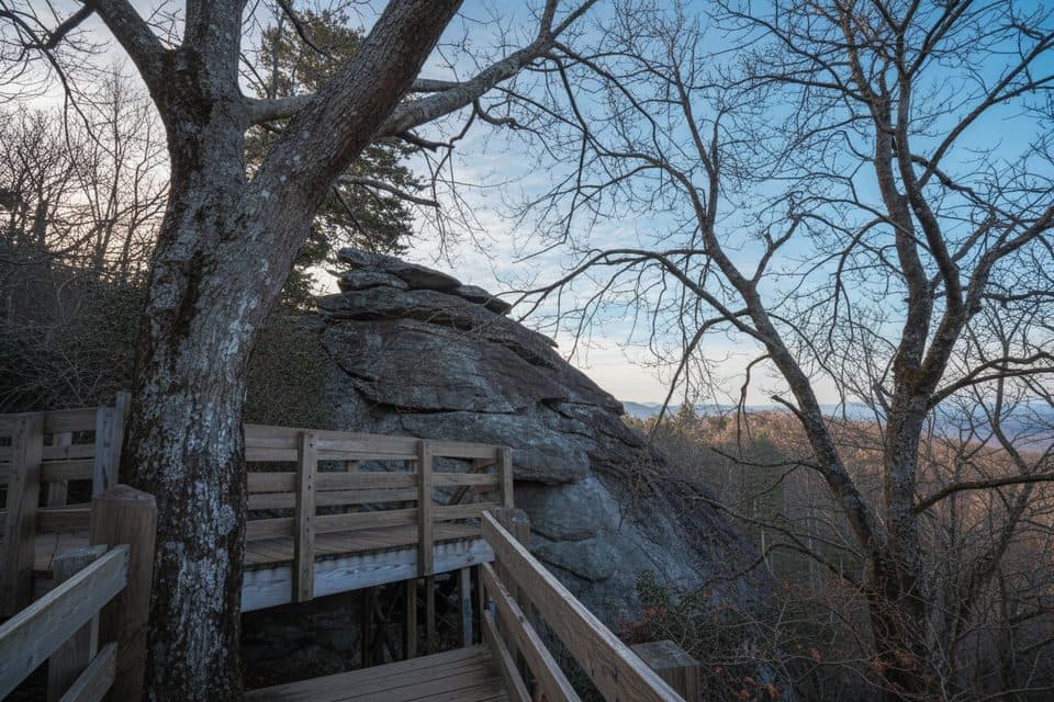 EasyStack Rock Trail0.5 mi · 30 min · 1.4 mi awayTiny detour to a quirky rock tower in a rhodo-laced forest
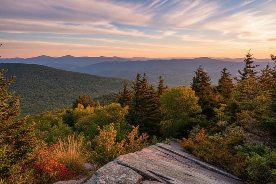 EasyNuwati Trail3 mi · 2 hr · 1.9 mi awayRocky, gentle-grade stroll to Storyteller’s Rock and Boone Bowl views
 ChallengingDaniel Boone Scout Trail7.2 mi · 5 hr · 1.9 mi awayRugged climb to Calloway Peak with ladders, cables, and big views
 EasyBeacon Heights Trail0.8 mi · 30 min · 1.9 mi awayShort, rocky climb to twin quartzite slabs with huge views
 ChallengingTanawha Trail13.5 mi · 6.5 hr · 1.9 mi awayGrandfather’s marquee traverse of views, boardwalks, and the Viaduct
 ChallengingProfile Trail (Grandfather Mountain)7.2 mi · 4 hr · 2.4 mi awaySteep, rewarding climb from NC 105 to Grandfather’s ridgeline.EasyCold Prong Pond Loop0.4 mi · 15 min · 2.8 mi awayShort, easy loop from Cold Prong Pond Overlook through rhododendron, forest, and a former pond meadow.
 Sight · At the trailheadRough Ridge OverlookShort hike to sweeping views of Grandfather and the Viaduct
 Scenic pullout · 0.6 mi awayWilson Creek OverlookQuiet overlook with sunrise views and a shortcut to the Tanawha Trail
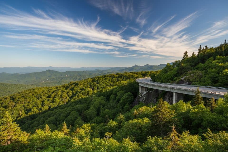 Scenic pullout · 0.7 mi awayYonahlossee OverlookQuick pullout for the classic Linn Cove Viaduct viewpoint
 Scenic pullout · 0.7 mi awayBoulder Field OverlookSmall overlook with sunset views toward the Linn Cove Viaduct
 Sight · 0.7 mi awayLinn Cove ViaductIconic S-curve bridge hugging Grandfather Mountain with epic views
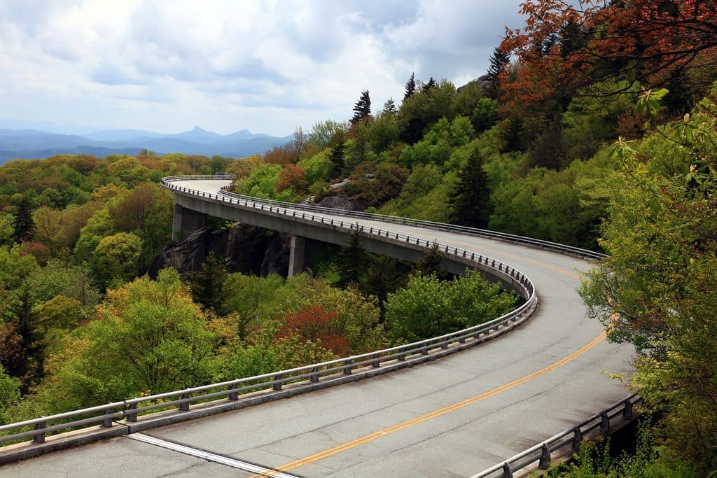 Sight · 0.7 mi awayLinn Cove Viaduct OverlookUp-close, under-bridge view of the Parkway's iconic curving viaduct
 Scenic pullout · 0.8 mi awayWilson Creek Valley OverlookBig southern panorama over Wilson Creek toward distant skylines
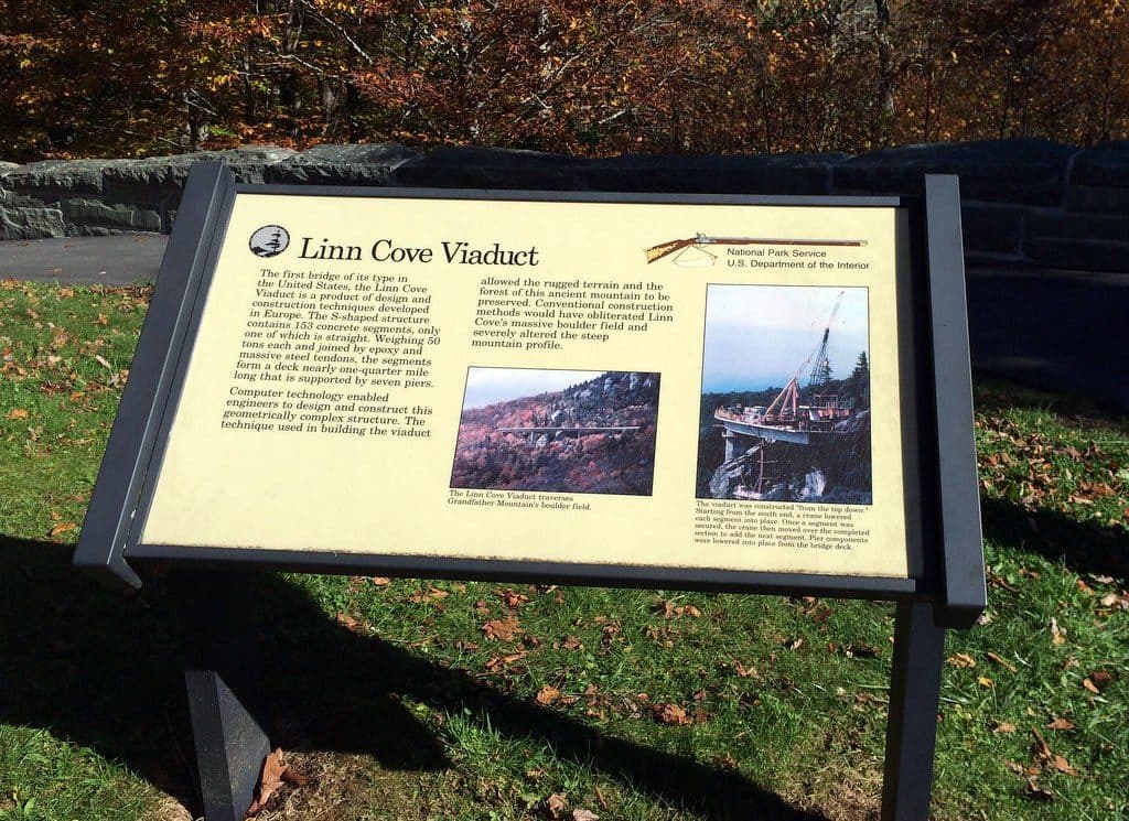 Visitor center · 1 mi awayLinn Cove Viaduct Visitor CenterTrailhead for up-close views of the iconic Linn Cove Viaduct
Parkwolf’s Blue Ridge Parkway ranking
The audio tour guide for the drive, plus offline maps, trails, and wildlife heatmaps for when the signal drops.



