Parking
Park at Craggy Gardens Visitor Center on the Blue Ridge Parkway (MP 364.6); follow the Mountains-to-Sea Trail south ~1 mile to the Douglas Falls Trail junction.
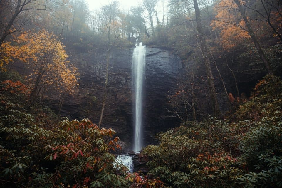
Blue Ridge Parkway, NC · VA
Rugged trek to a 70-foot waterfall through wild, hemlock forest
Overview
This is a tough, remote-feeling waterfall hike from the Blue Ridge Parkway that rewards the work with a photogenic 70-foot plunge and a mossy amphitheater where you can carefully walk behind the curtain of water. The route starts at the Craggy Gardens Visitor Center (Milepost 364.6), follows the Mountains-to-Sea Trail south for about 1 mile, then continues on the Douglas Falls Trail to the waterfall. Total distance is roughly 6.6 miles round trip, out-and-back.
Expect a rugged mountain footpath: rocky, rooty, and often damp—especially near the falls and after rains. You’ll pass multiple small cascades and traverse a mixed hardwood forest with notable (and sobering) remnants of once-magnificent Eastern hemlocks impacted by hemlock woolly adelgid. The scenery feels wild and increasingly secluded as you descend toward Waterfall/Carter Creek.
Difficulty is high. The hike trends downhill to the falls and makes you earn it on the return with a sustained climb and some switchbacks. Plan 5–6 hours, depending on fitness and conditions. Elevation change is over 1,000 feet, and blowdowns from dead or dying hemlocks can add to the challenge.
Best time to hike: Late spring through early fall offers lush forest, reliably flowing cascades, and (in early summer) wildflowers. Autumn color is beautiful but leaves can make footing slick. Winter conditions and Parkway closures can limit access. Go early for cooler temps, more solitude, and softer light at the falls; after rain the flow is great, but tread will be wet and slippery.
Access note: The old, shorter approach from Forest Service Road 74 (Big Ivy) is reported as no longer open for reaching the falls. Use the Parkway/Craggy Gardens approach.
Tips: Waterproof footwear is worth it. There’s no potable water or facilities—pack everything you need. Rocks behind and around the falls are slick; move deliberately. This is not a swimming destination. If you want an easier waterfall fix, consider choosing a shorter, more maintained option elsewhere—this one is for experienced hikers who enjoy a strenuous, less-traveled path.
Map & elevation
Plan your hike

The highest, rockiest slopes around here are a summer buffet for grizzly bears.
Blue Ridge Parkway Tour Guide
Parkwolf is a GPS audio tour guide for Blue Ridge Parkway. As you drive, it chimes in with what’s ahead: hidden gems, upcoming stops, history, geology, and wildlife, right through your car’s speakers.
See the Blue Ridge Parkway audio tourRecorded for this area
Craggy Gardens Visitor Center and Rhododendron Balds“You'll soon be in the Craggy Gardens area, one of the highest and most dramatic spots on the Parkway.”
Plays near this trailhead in the Parkwolf Blue Ridge Parkway Tour Guide.
More stories near here in the app
“…We knew we wanted to drive the Blue Ridge Parkway. The narration was impeccably timed. The facts and info provided were meaningful. Without it, the trip would not have been near as awesome.”


Wildlife
 1,208 sightingsBlack BearMost seen around 7 AMSighting map
 1,020 sightingsElkMost seen around 7 AMSighting map
 2,257 sightingsWhite-tailed DeerMost seen around 6 PMSighting map
 200 sightingsCoyoteMost seen around 6 PMSighting map
 1,126 sightingsWild TurkeyMost seen around 7 AMSighting map
 255 sightingsRed-tailed HawkMost seen around 11 AMSighting map
Sighting maps show where each species has been reported across Blue Ridge Parkway. Wildlife moves, so no sighting is guaranteed.
Keep exploring
 ModerateCraggy Gardens Trail1.6 mi · 1 hr · 0.1 mi awayRhododendron-lined out-and-back from the visitor center to Craggy Gardens Picnic Area
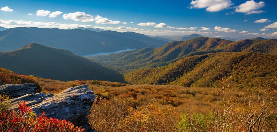 EasyPinnacle Trail1.4 mi · 45 min · 0.4 mi awayShort climb, giant views, and classic rhododendron tunnels
 ChallengingSnowball Mountain Trail2.7 mi · 2 hr · 1.1 mi awayA short ridge hike to Hawkbill Rock, with a steep climb
 ChallengingLittle Butt Trail4.8 mi · 4 hr · 4.2 mi awayHigh-elevation ridge hike to a rocky overlook with big views
 ModerateRattlesnake Lodge Trail1.6 mi · 1.5 hr · 5.2 mi awayShaded Blue Ridge Parkway loop to historic Rattlesnake Lodge ruins
 ModerateOld Mitchell Trail4 mi · 2.5 hr · 6.5 mi awayA rocky climb to Mount Mitchell’s high-elevation summit
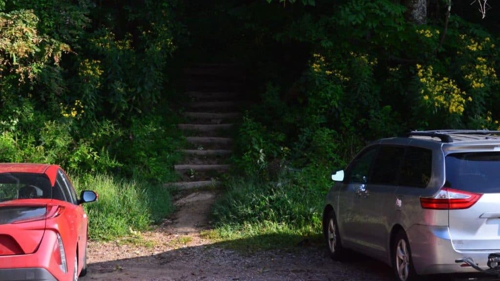 ModerateCraven Gap Trail4.8 mi · 2 hr · 7.3 mi awayModerate, shaded Mountains-to-Sea Trail out-and-back from Craven Gap to Ox Creek Road.
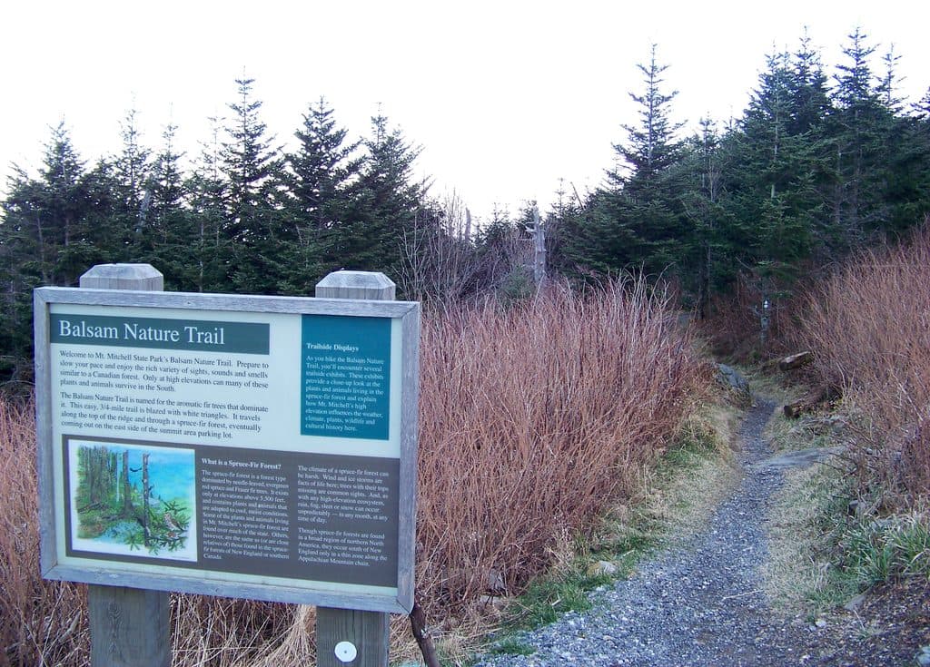 EasyBalsam Nature Trail (Mount Mitchell)0.8 mi · 30 min · 7.9 mi awayShort, moderate summit loop through rare Fraser fir and red spruce forest
 Visitor center · At the trailheadCraggy Gardens Visitor’s Center;Craggy GardensHigh-elevation views and June rhododendron blooms with easy hikes
 Sight · 0.2 mi awayCraggy Pinnacle OverlookShort hike to a 360-degree summit with knockout mountain views
 Picnic area · 0.7 mi awayCraggy Gardens Picnic AreaHigh-elevation picnic hub with trails and June rhododendrons
 Scenic pullout · 1.1 mi awayGraybeard Mountain View (MP 363.4)Head-on views of Graybeard and the Seven Sisters
 Scenic pullout · 3.1 mi awayGlassmine Falls Overlook (MP 361.2)Roadside perch for a distant, rain-fed ribbon of waterfall
 Scenic pullout · 4.2 mi awayLane Pinnacle Overlook (MP 372.1)Southeast-facing stop with Swannanoa Valley and Craggies in one frame
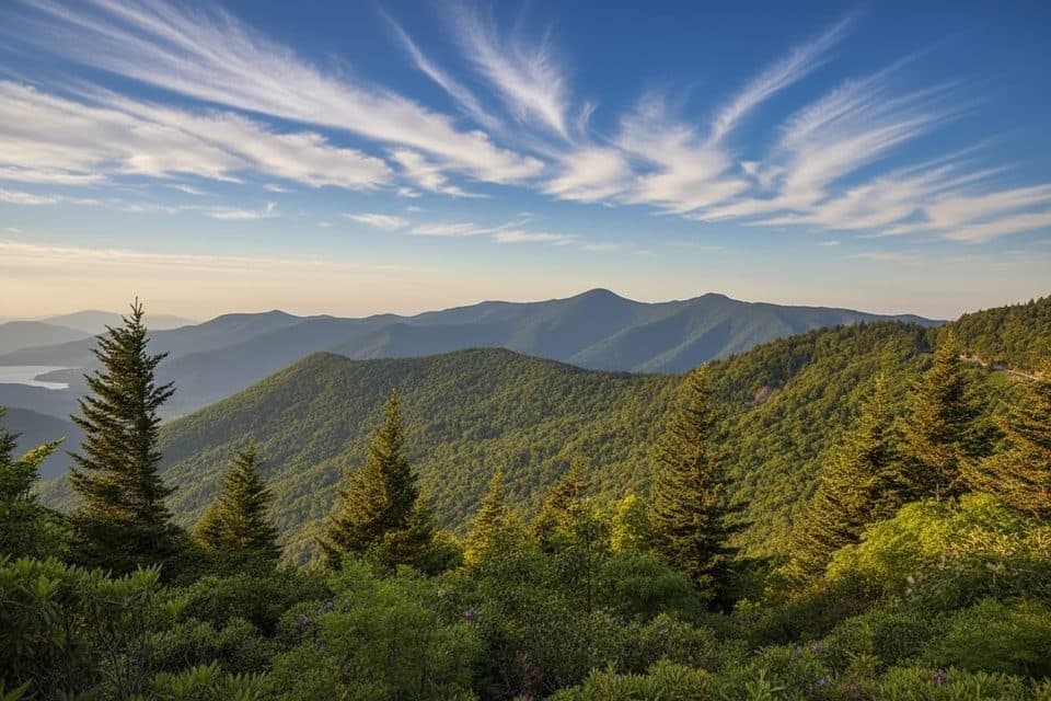 Scenic pullout · 4.2 mi awayWalker Knob Overlook (MP 359.8)Quiet overlook with big views and trail access
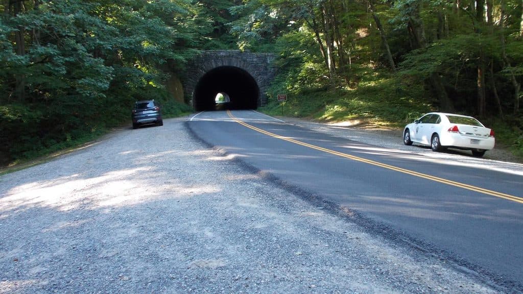 Sight · 4.8 mi awayRattlesnake LodgeHistoric lodge ruins off the Parkway with quiet, shady hiking
Parkwolf’s Blue Ridge Parkway ranking

The audio tour guide for the drive, plus offline maps, trails, and wildlife heatmaps for when the signal drops.





