Place · 0.1 mi away
Challenging

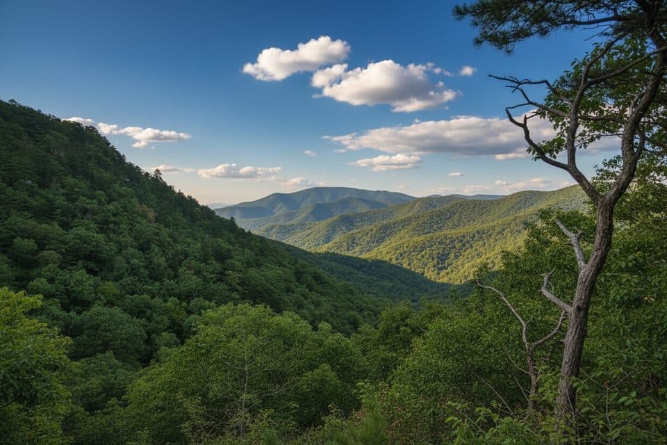
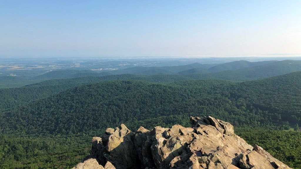
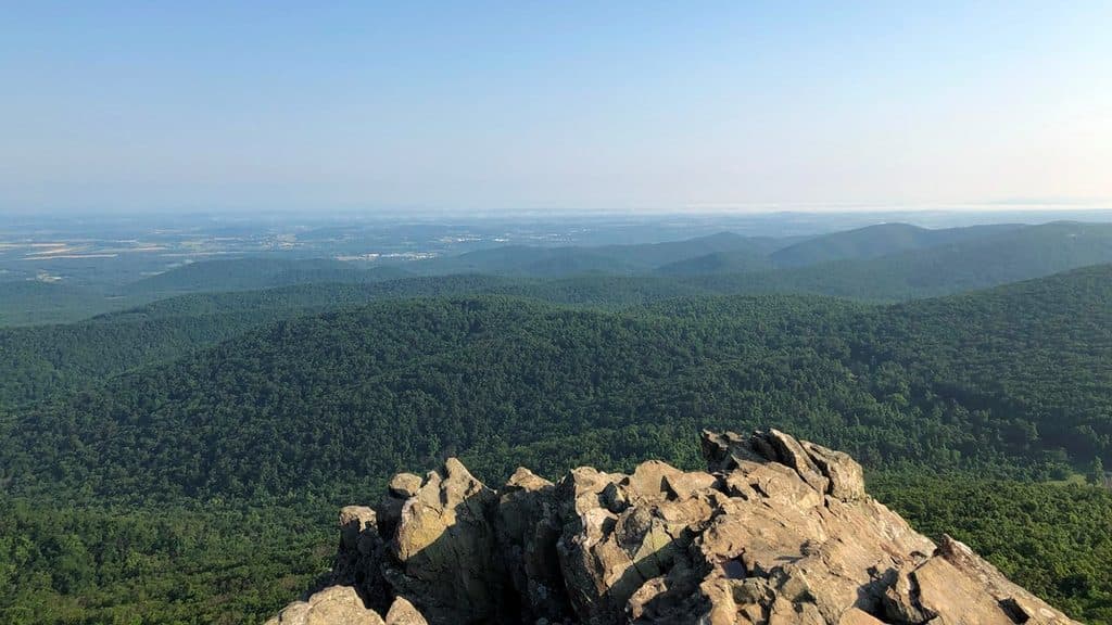
If you like big views for a short, punchy effort, this is your move. The classic outing climbs roughly 1 mile from Humpback Gap to the namesake rock outcrops and back (2.0 miles total), gaining about 700–800 feet—steep, rocky, and absolutely worth it for the panoramas. From the summit you’ll scan hardwood-cloaked ridges and broad valleys—north toward southern Shenandoah, east over patchwork farms, and southwest into the George Washington National Forest.
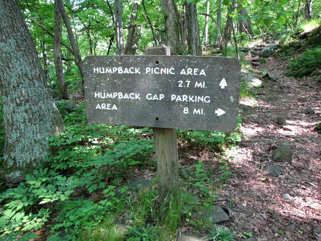
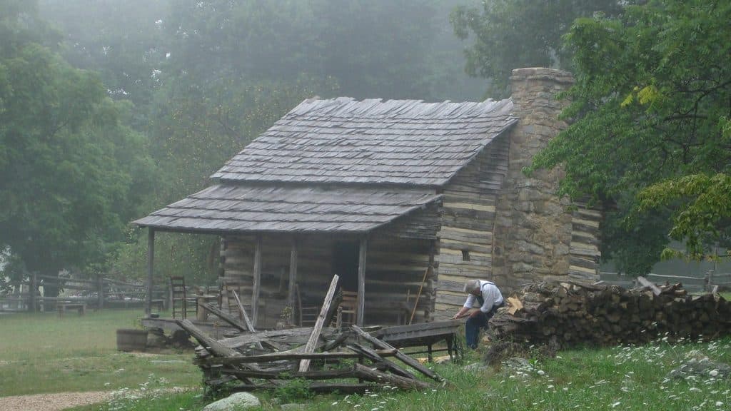
Most hikers do the 2.0-mile out-and-back from Humpback Gap (MP ~6). If you want more trail for your drive, link a loop with the Appalachian Trail and Old Howardsville Turnpike for a roughly 4.1–4.2-mile circuit. Another add-on is starting by the Humpback Rocks Visitor Center (MP ~5.8) and taking the Mountain Farm Trail as a gentle warm-up; that interpretive segment adds about 0.8 mile and ~30 minutes before you begin the steeper climb.
Expect a stout grade right away, with rocky tread and built steps in places. Benches appear here and there—use them; the ascent is short but demanding. After rain, sections can run like small streams and get slick. Near the top the trail system gets braided with social paths—follow the blue blazes to stay on route and to return the same way.
The draw is the dramatic rock outcrops at the summit—broad, photogenic ledges that catch sunrise and sunset beautifully. You’ll hike under mixed hardwoods most of the way, emerging onto wind-exposed stone. Some visitors report graffiti on the rocks; it doesn’t ruin the view, but it’s there. The outcrops are ancient greenstone, a distinctive piece of the Blue Ridge story, and they make a spectacular natural balcony.
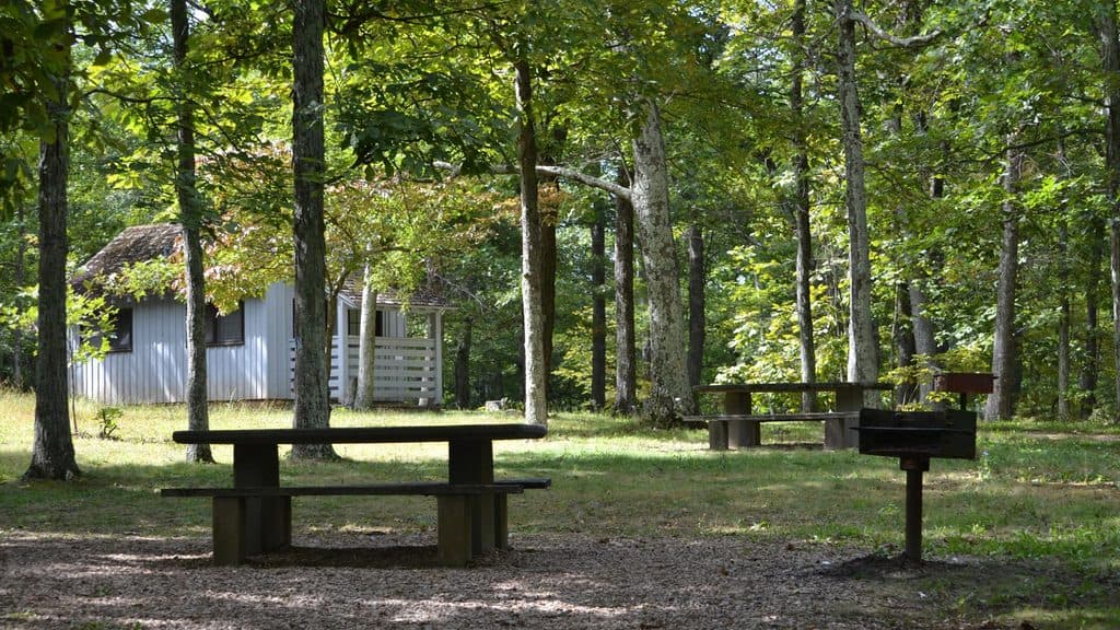
This is one of Virginia’s most popular short hikes and it shows—parking fills early, especially on peak fall weekends and clear summer days. Aim for early morning or weekdays. Facilities are down by the visitor center; there’s nothing at the summit. Bring water and sturdy footwear.
Year-round works. Fall foliage is the showstopper; winter delivers crystal-clear vistas but icy rock is possible. Spring and summer bring lush green and wildflowers. Sunrise and sunset are prime for light and photography—carry a headlamp if you’re starting or finishing in the dark.
Right beside the visitor center, the Mountain Farm Museum interprets late-1800s mountain life with relocated buildings—a quick, easy detour that adds context to the landscape you’re looking over.
Note on stats: Length here highlights the popular 2.0-mile out-and-back to the rocks. If you choose the loop that includes the Appalachian Trail, plan on roughly 4.1–4.2 miles and around 2.5–3 hours.
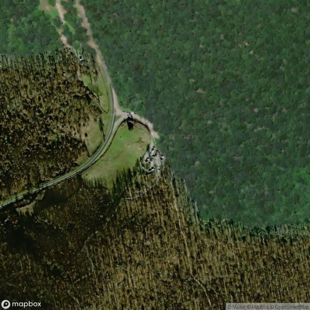
Park at Humpback Gap (around MP 6) or near the Humpback Rocks Visitor Center/Information Area (MP ~5.8–6.0). Lots fill early on weekends and in fall.
Steep, rocky footing with slick sections after rain; exposed, windy summit; potential ice in winter; numerous social paths near the top—stay on the blue-blazed route.