Parking
Park in the Museum of North Carolina Minerals lot at milepost 330.9. Walk across the field on the left side of the building to the far tree line.
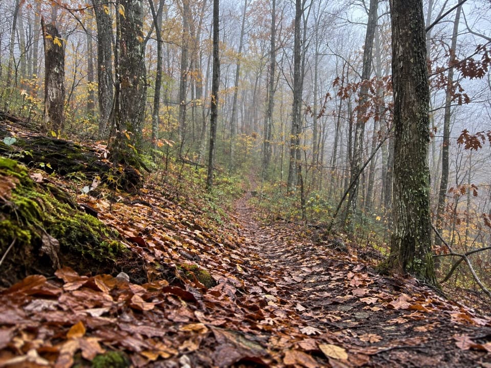
Blue Ridge Parkway, NC · VA
A wooded walk along a Revolutionary War route.
Overview
Map & elevation
Plan your hike

The highest, rockiest slopes around here are a summer buffet for grizzly bears.
Blue Ridge Parkway Tour Guide
Parkwolf is a GPS audio tour guide for Blue Ridge Parkway. As you drive, it chimes in with what’s ahead: hidden gems, upcoming stops, history, geology, and wildlife, right through your car’s speakers.
See the Blue Ridge Parkway audio tourRecorded for this trailhead
Museum of North Carolina Minerals: Rocks at Work“You're approaching the Museum of North Carolina Minerals at Gillespie Gap, a small stop that connects mountain rocks with things you use every day.”
Plays as you drive up to this trailhead in the Parkwolf Blue Ridge Parkway Tour Guide.
More stories near here in the app
“…We knew we wanted to drive the Blue Ridge Parkway. The narration was impeccably timed. The facts and info provided were meaningful. Without it, the trip would not have been near as awesome.”


Trail guide
Orchard Trail is a dirt-path out-and-back from the Museum of North Carolina Minerals at Gillespie Gap. The named path runs about 1.6 miles west into broadleaf woods; walking to its mapped end and back makes the hike roughly 3.2 miles. Allow about 1½ to 2 hours. The route is rated moderate and climbs to a high point about 400 feet above the trailhead, with short rises and dips along the wooded slope.
Park at the museum lot at milepost 330.9. From the lot, head across the field on the left side of the building toward the far tree line. The mapped west end reaches the Blue Ridge Parkway, so turn around there and retrace the same path. A five-mile one-way figure is also listed for this access, but it does not match the 1.6-mile named Orchard path. Plan on the shorter walk; do not assume the longer route without a separate map. Dogs are allowed when leashed no longer than six feet and kept under control. The museum has no food service.
Orchard Trail is part of the Overmountain Victory National Historic Trail. In late September and early October 1780, militia from Virginia and North Carolina crossed the Blue Ridge here on the way to fight a Loyalist force at Kings Mountain. On October 7, the battle ended with Patrick Ferguson killed and more than 500 prisoners taken. A plaque outside the museum marks the crossing, making it a good stop before or after the woods walk.
Wildlife
 1,214 sightingsBlack BearMost seen around 7 AMSighting map
 1,021 sightingsElkMost seen around 7 AMSighting map
 2,266 sightingsWhite-tailed DeerMost seen around 6 PMSighting map
 200 sightingsCoyoteMost seen around 6 PMSighting map
 1,130 sightingsWild TurkeyMost seen around 7 AMSighting map
 255 sightingsRed-tailed HawkMost seen around 11 AMSighting map
Sighting maps show where each species has been reported across Blue Ridge Parkway. Wildlife moves, so no sighting is guaranteed.
Keep exploring
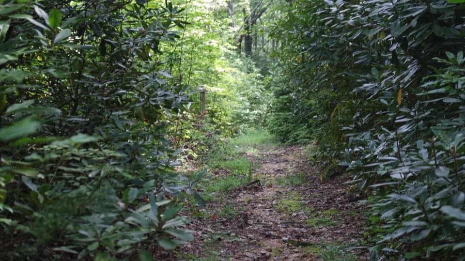 EasyRose Creek Trail1.5 mi · 45 min · 3.8 mi awayA short creekside walk with a Revolutionary War story.
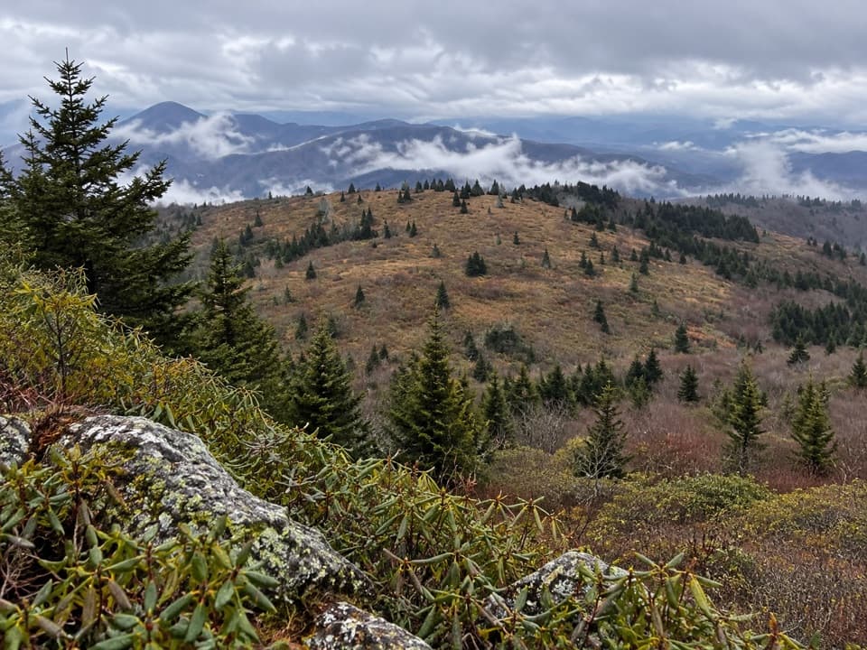 ModerateLittle Tablerock Mountain Trail4.2 mi · 2.8 hr · 4.9 mi awayA forest climb to a North Toe Valley overlook.
 ModerateCrabtree Falls Loop Trail2.5 mi · 2 hr · 5.9 mi awayA steep loop drops to a 60-foot waterfall in a ferny hollow.
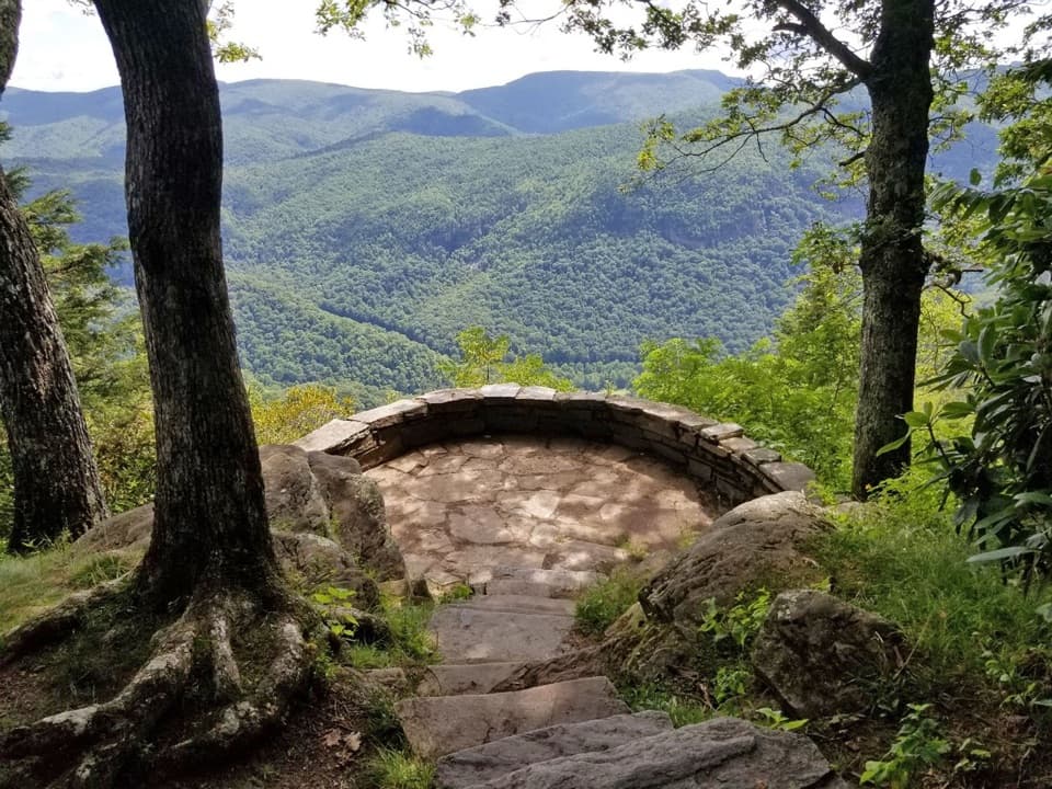 EasyChestoa View Trail0.8 mi · 42 min · 7.4 mi awayA short forest loop, with a 32-step spur to the stone balcony.
 ChallengingWoods Mountain Trail11.5 mi · 7.5 hr · 8.6 mi awayA long ridge hike to a wooded summit with wide mountain views.
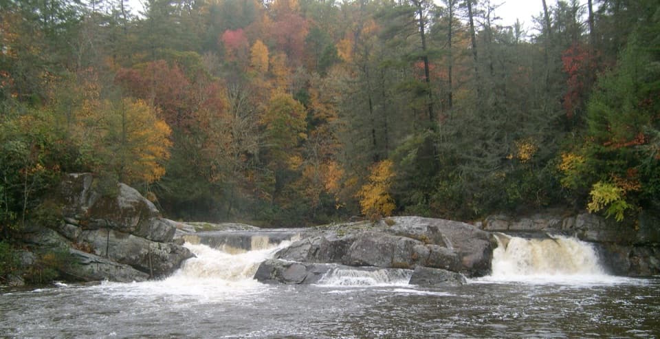 ModerateUpper Linville Falls Trail1 mi · 45 min · 9.8 mi awaySee the upper cascades before they vanish into the gorge.
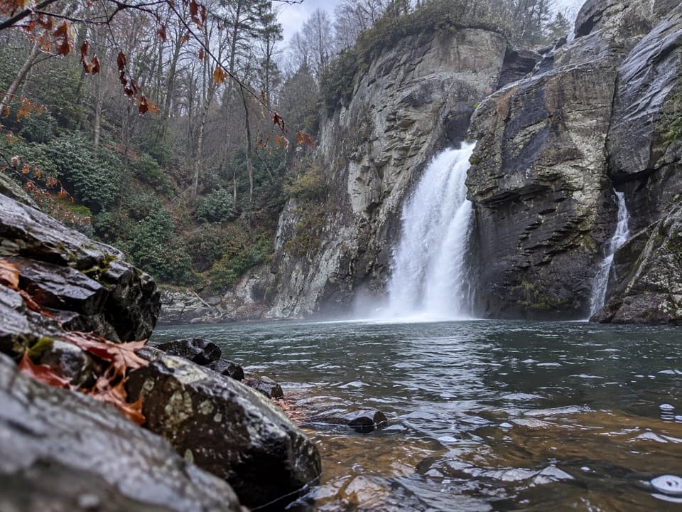 ChallengingLinville Gorge Trail1.4 mi · 2 hr · 9.8 mi awayA steep rock descent reaches the forceful lower falls.
 ModerateErwins View Trail1.6 mi · 1.5 hr · 9.8 mi awayFour overlooks trace the river from upper cascades to gorge.
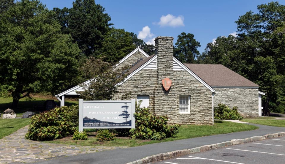 Sight · At the trailheadMuseum of North Carolina MineralsA quick stop for hands-on geology and a surprisingly deep mining story.
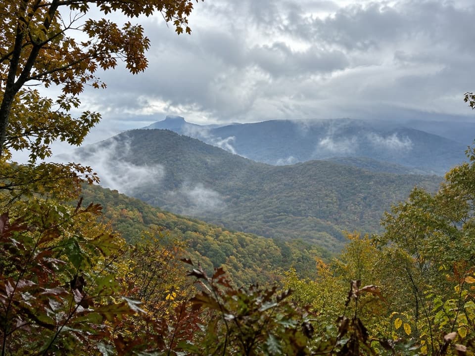 Scenic pullout · 1.1 mi awayTable Rock OverlookPick out Table Rock's tilted summit beyond a long, level ridge.
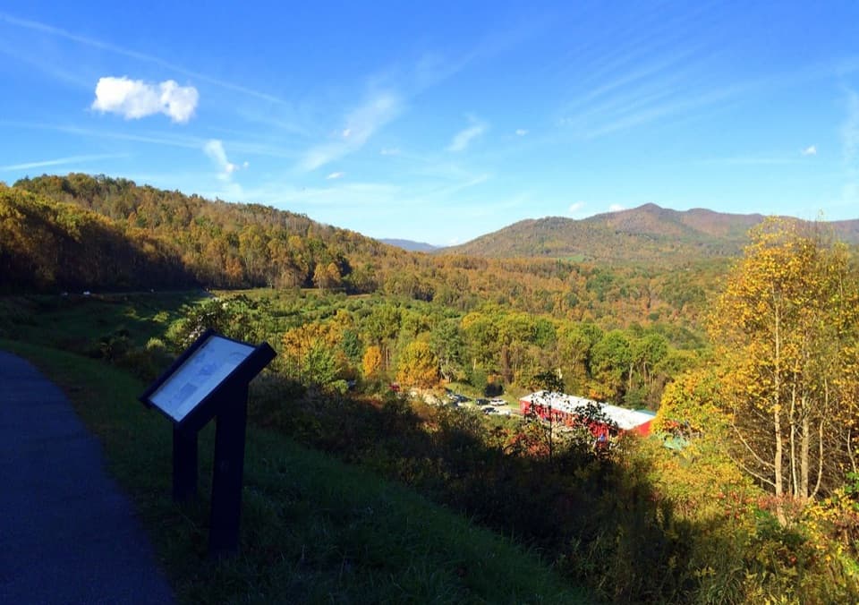 Sight · 2 mi awayThe Loops OverlookLeaf-off rail views, sunrise, and a chance of Appalachian fogfall.
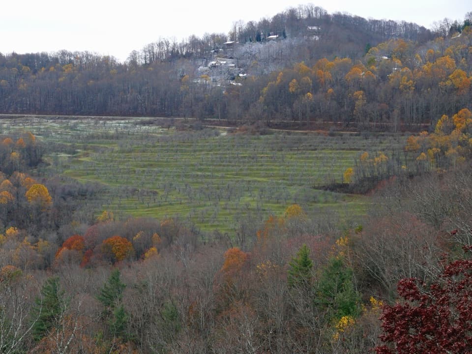 Scenic pullout · 3.1 mi awayNorth Cove OverlookValley views and a railroad climb reward a quick stop.
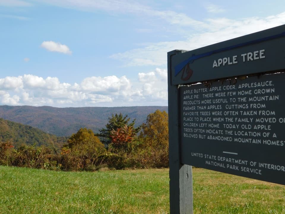 Sight · 3.8 mi awayHeffner Gap OverlookA mountain-view stop with an apple orchard and 1780 trail history.
 Sight · 4.4 mi awayDeerlick Gap OverlookA quick pull-off for Woods Mountain and Catawba Valley views.
 Scenic pullout · 5.4 mi awayThree Knob OverlookA quick roadside pause for layered mountain and valley views.
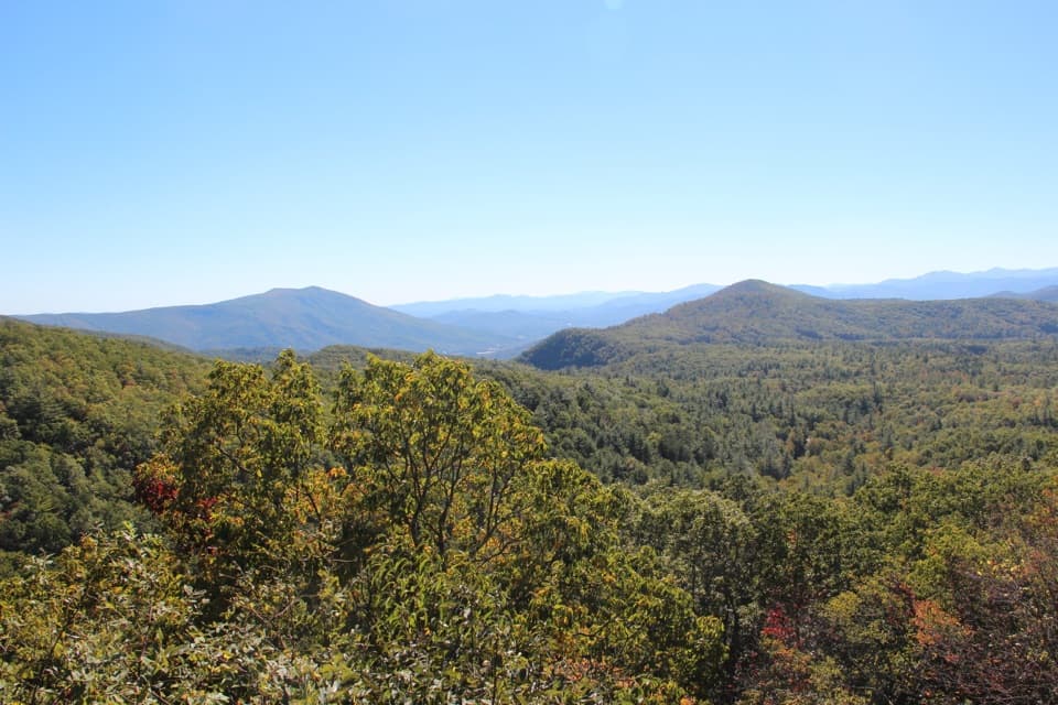 Scenic pullout · 5.8 mi awayBear Den OverlookA quick pull-off for a sweeping, west-facing mountain view.
Parkwolf’s Blue Ridge Parkway ranking

The audio tour guide for the drive, plus offline maps, trails, and wildlife heatmaps for when the signal drops.




