Pros & cons
PROS
- Tallest single waterfall along the Blue Ridge Parkway
- Loop design lets you descend the steeper leg and return on a gentler grade
CONS
- Slick rocks and spray around the falls limit safe exploring near the base
- Often crowded at the waterfall, especially mid-day and weekends
Park at the Crabtree Falls trailhead by the campground/old camp store area directly off the Blue Ridge Parkway (39000 Blue Ridge Parkway, Marion, NC 28752). Facilities (picnic area, restrooms) operate seasonally [blueridgeparkway.org](https://www.blueridgeparkway.org/poi/crabtree-falls).
Steep, rocky descent to the falls and a sustained climb on the exit; rocks near the water are very slippery. Access depends on Blue Ridge Parkway road status—verify current conditions before you go.
Why hike it
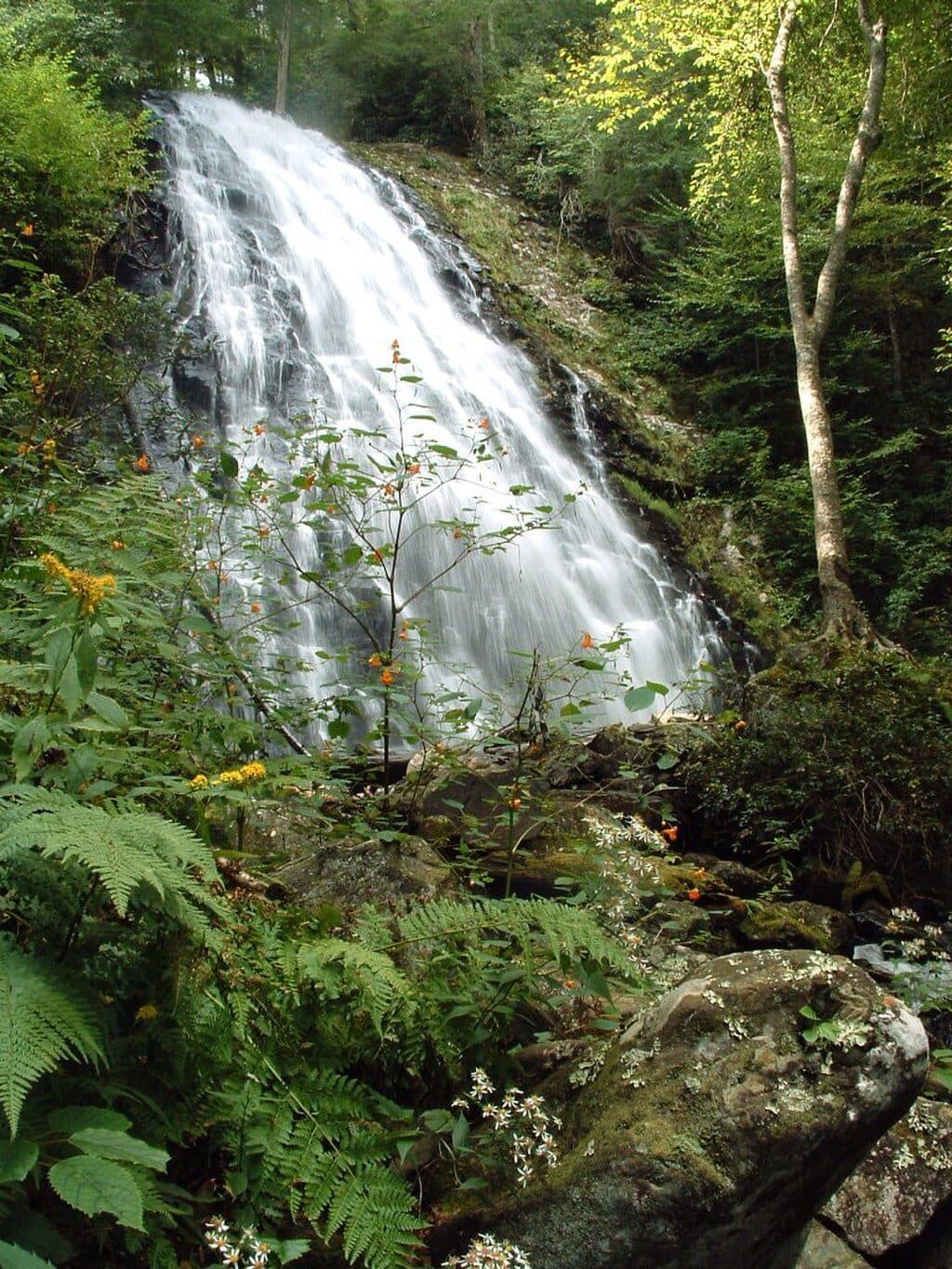
If you’re chasing a classic Blue Ridge Parkway waterfall with real payoff for moderate effort, this loop is your move. The namesake falls are a marquee stop—recognized by the National Park Service as the tallest single waterfall along the Parkway—and they draw interest in every season [nps.gov](https://www.nps.gov/places/crabtree-falls.htm).
The route (2.5-mile loop)
Plan on a 2.5-mile loop from the main trailhead; some visitors add a short connector if starting by the visitor/camp area perimeter, which bumps total mileage slightly [visitnc.com](https://www.visitnc.com/listing/sTaL/crabtree-falls). The path drops steeply and rocky to the base of the falls, often with steps and roots underfoot. After your waterfall time, continue the loop for a longer, more gradual climb back—easier on lungs and knees than retracing the steeper descent. Expect some switchbacks and a few creek crossings en route.
What you'll see
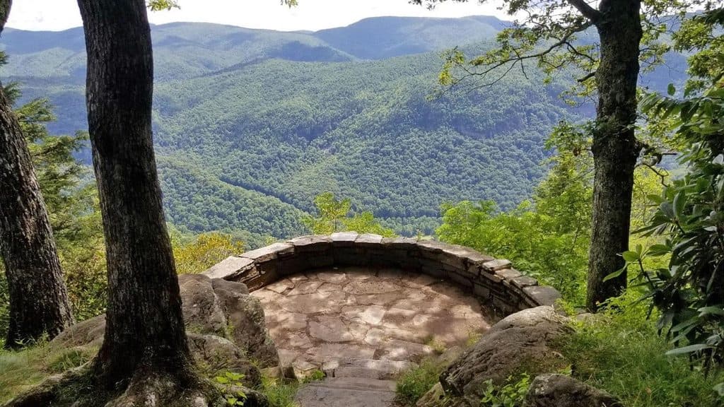
This is Southern Appalachian forest at its best: mixed oak–hickory canopy, tunnels of rosebay rhododendron, ferns, and seasonal wildflowers thriving in the cool spray. Birders should watch for slate-colored juncos, tufted titmice, and black-throated blue warblers; salamanders are common in damp seeps and along Crabtree Creek. The falls themselves are a broad, photogenic cascade set against mossy rock—linger on the bridge or lower viewpoints to take it in.
Crowd level and trail feel
It’s popular, and you’ll likely share the viewing areas around the falls. Start early or on weekdays if you want quieter moments at the base. Rocks near the water are slick—skip the scramble and enjoy from the established viewpoints.
Planning tips
- Access is directly from the Blue Ridge Parkway at the Crabtree Falls Recreation Area; use the Parkway address and do not approach from Crabtree Road. The picnic area and restrooms operate seasonally [blueridgeparkway.org](https://www.blueridgeparkway.org/poi/crabtree-falls).

- Dogs are allowed on leash (6 feet max) [visitnc.com](https://www.visitnc.com/listing/sTaL/crabtree-falls).
- Wear sturdy footwear; wet rock and rooty sections are common. The loop’s “down first, up later” profile can feel strenuous—trekking poles help.
- Parkway road status can affect access to the trailhead; check current conditions with the Parkway or NPS before you go [nps.gov](https://www.nps.gov/places/crabtree-falls.htm), [blueridgeparkway.org](https://www.blueridgeparkway.org/poi/crabtree-falls).
Best time to hike
Year-round. Spring and early summer bring lush greens and wildflowers; fall color makes the forest glow; winter offers lower crowds and clear views when leaves are down. For a calmer visit and easier parking, aim for mornings or weekdays [nps.gov](https://www.nps.gov/places/crabtree-falls.htm), [blueridgeparkway.org](https://www.blueridgeparkway.org/poi/crabtree-falls), [visitnc.com](https://www.visitnc.com/listing/sTaL/crabtree-falls).
Elevation
2.5 mi · 2 hrWhere it starts
35.8124, -82.1433Wildlife on this trail
Near Crabtree Falls Loop Trail
All places →All trails →
2.3 mi awayBlack Mountains Overlook (MP 342.2)Quick stop with big views of the highest peaks in the EastPullout · Parking
3.1 mi awayBuck Creek Gap Parking Overlook (MP 344.1)Quiet overlook with MST access and Pisgah ridge viewsTrailhead · Pullout
3.5 mi awayCarolina Hemlocks CampgroundShaded riverside camping with swimming, tubing, and trout fishingCampground · Restroom
3.9 mi awayLittle SwitzerlandSwiss-themed mountain village right on the Parkway with views and eatsFood · Restaurant
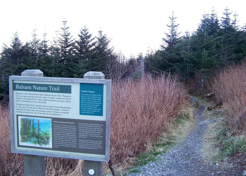
7.5 mi awayBalsam Nature Trail (Mount Mitchell)Short spruce‑fir loop steps from the highest summit in the EastEasy · 0.8 mi · 30 min
7.6 mi awayOld Mitchell TrailHistoric, rocky spruce fir climb to Mount Mitchell’s summitChallenging · 4 mi · 2.5 hr
11.6 mi awayBig Butt TrailHigh-elevation ridge walk to Little Butt with big views and solitudeChallenging · 6 mi · 4 hr
11.6 mi awayLittle Butt TrailHigh-elevation ridge hike to a rocky overlook with big viewsChallenging · 6 mi · 3 hr