Parking
Chestoa View Parking Area & Overlook on the Blue Ridge Parkway at MP 320.8; the National Park Service lists parking, picnic tables, and trash receptacles. No permanent restrooms or concessions are listed on its page.
Blue Ridge Parkway, NC · VA
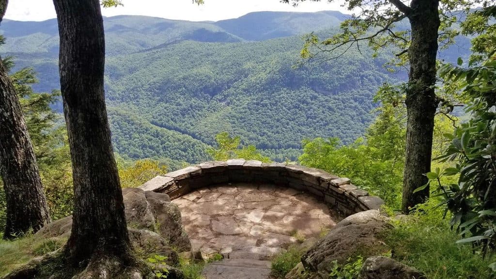
Easy lollipop walk to Chestoa View’s stone balcony and Blue Ridge vistas
Overview
Map & elevation
Plan your hike

The highest, rockiest slopes around here are a summer buffet for grizzly bears.
Blue Ridge Parkway Tour Guide
Parkwolf is a GPS audio tour guide for Blue Ridge Parkway. As you drive, it chimes in with what’s ahead: hidden gems, upcoming stops, history, geology, and wildlife, right through your car’s speakers.
See the Blue Ridge Parkway audio tourRecorded for this trailhead
Chestoa View: Big Rewards for a Short Walk“Coming up is the pullout for Chestoa View Overlook, a spot that delivers a huge reward for very little effort.”
Plays as you drive up to this trailhead in the Parkwolf Blue Ridge Parkway Tour Guide.
More stories near here in the app
“…We knew we wanted to drive the Blue Ridge Parkway. The narration was impeccably timed. The facts and info provided were meaningful. Without it, the trip would not have been near as awesome.”


Trail guide
This is an easy, short lollipop walk from the Chestoa View parking area at Blue Ridge Parkway Milepost 320.8. Follow the paved access path to the right fork and onto the dirt trail, complete the forest loop, and return along the shared approach. The full walk from the parking-area trailhead is about 0.8 miles; the National Park Service describes the named dirt loop itself as 0.6 miles. Allow roughly 30–45 minutes, depending on time spent at the overlook and bench. The route has mild inclines, uneven dirt, roots, rocks, and stone steps (nps.gov, NPPlan).
The access path leads to a stone balcony overlooking North Cove, with views toward Table Rock and Grandfather Mountain. The forest lollipop continues into shaded woodland, with a bench and a secondary Table Rock view around the loop. The route is a compact way to combine the overlook with a quiet forest walk (nps.gov, Romantic Asheville).
Start at the Chestoa View Parking Area & Overlook on the Blue Ridge Parkway at MP 320.8. The National Park Service lists parking, picnic tables, and trash receptacles at the overlook; no permanent restrooms or concessions are listed on its page. The mapped line begins at the signed trail access about 77 meters from the parking-area coordinate, following the paved access path rather than inventing a straight connector (nps.gov, Romantic Asheville).
Stone steps, roots, rocks, and uneven tread require ordinary trail footwear and care. Stay on the signed route near overlook edges and drop-offs; fog or wet weather can make surfaces slick. The route is not a wheelchair- or stroller-friendly paved walk.
Wildlife
 1,208 sightingsBlack BearMost seen around 7 AMSighting map
 1,020 sightingsElkMost seen around 7 AMSighting map
 2,257 sightingsWhite-tailed DeerMost seen around 6 PMSighting map
 200 sightingsCoyoteMost seen around 6 PMSighting map
 1,126 sightingsWild TurkeyMost seen around 7 AMSighting map
 255 sightingsRed-tailed HawkMost seen around 11 AMSighting map
Sighting maps show where each species has been reported across Blue Ridge Parkway. Wildlife moves, so no sighting is guaranteed.
Keep exploring
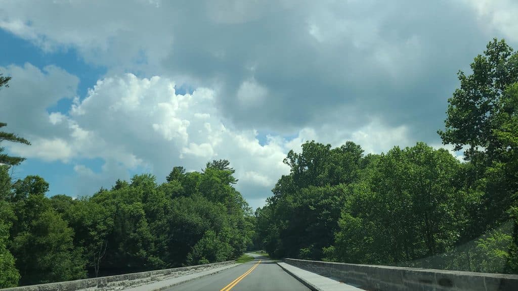 ChallengingLinville Gorge Trail16.6 mi · 9.5 hr · 1.6 mi awayA strenuous point-to-point wilderness traverse from Pine Gap through Linville Gorge to Wolf Pit.
 ModeratePlunge Basin Trail1.8 mi · 1 hr · 2.4 mi awayRugged out-and-back to the Plunge Basin overlook and waterfall viewpoint
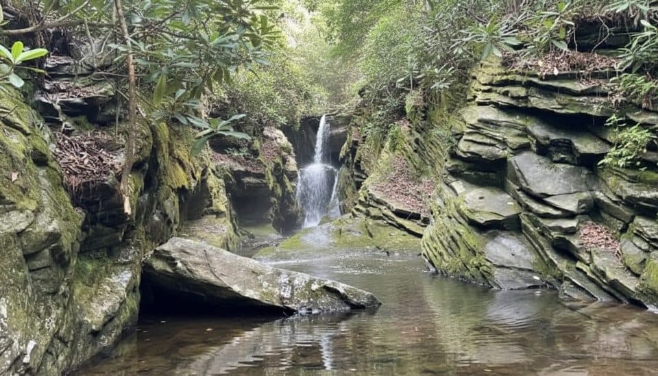 EasyDuggers Creek Falls Trail0.3 mi · 18 min · 2.4 mi awayTiny slot-canyon falls on a 0.3-mile loop by the visitor center
 ModerateLinville Falls Plunge Basin Trail1 mi · 45 min · 2.4 mi awayShort, strenuous drop to Plunge Basin Overlook and views of Linville Falls
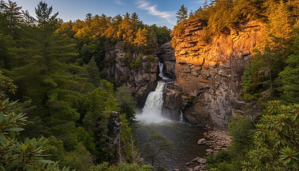 ModerateErwin’s View Trail (Linville Falls)1.6 mi · 1.3 hr · 2.4 mi awayFour big overlooks of Linville Falls on a short, moderate walk.
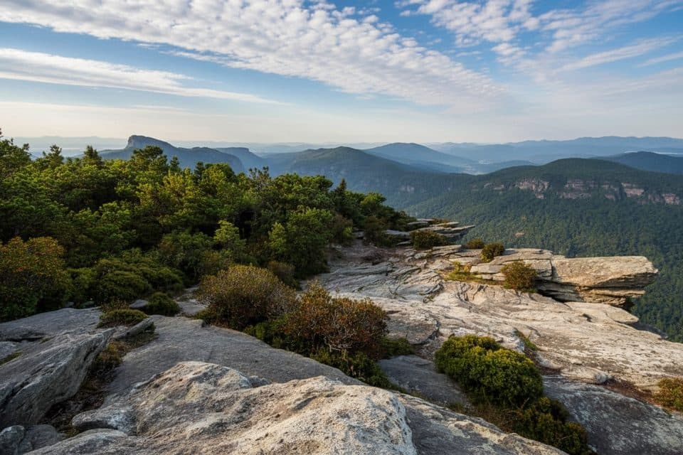 ModerateHawksbill Mountain Trail1.9 mi · 1.5 hr · 4.3 mi awayShort, steep climb to Linville Gorge’s blockbuster 360° views
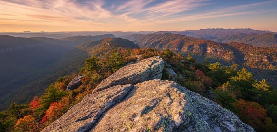 ModerateTable Rock Mountain Trail1.4 mi · 1.5 hr · 4.8 mi awayShort, steep climb to Linville Gorge’s exposed Table Rock summit
 EasyFlat Rock Trail0.7 mi · 20 min · 10.1 mi awayShort loop to a broad rock summit with big Grandfather views
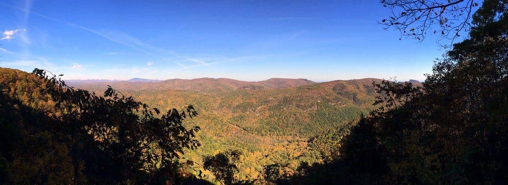 Sight · At the trailheadChestoa View OverlookShort walk to big Linville Gorge views from a stone overlook
 Scenic pullout · 1.8 mi awayBear Den Overlook (MP 323.0)Big Blue Ridge views with a bonus birdsong soundtrack
 Scenic pullout · 2.1 mi awayNorth Toe River Valley (MP 318.4)Quiet roadside overlook with sweeping Blue Ridge ridgelines
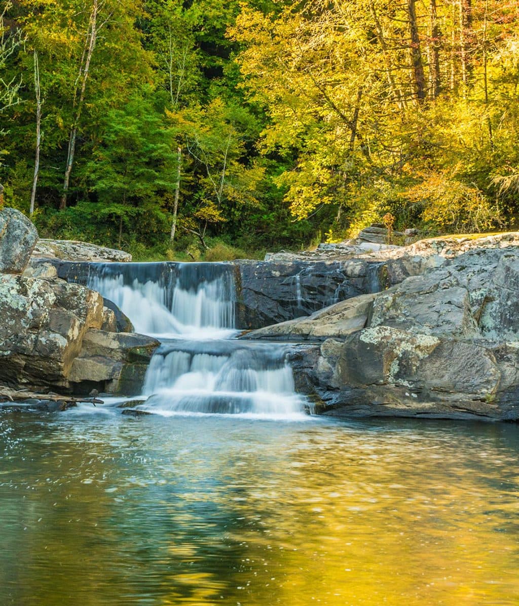 Sight · 2.2 mi awayUpper Linville FallsIntimate double cascade launching the river into Linville Gorge
 Sight · 2.2 mi awayLinville FallsClassic three-tier waterfall with big views into rugged Linville Gorge
 Sight · 2.2 mi awayUpper Falls OverlookA stone-walled viewpoint over the upper cascades and churning Linville River.
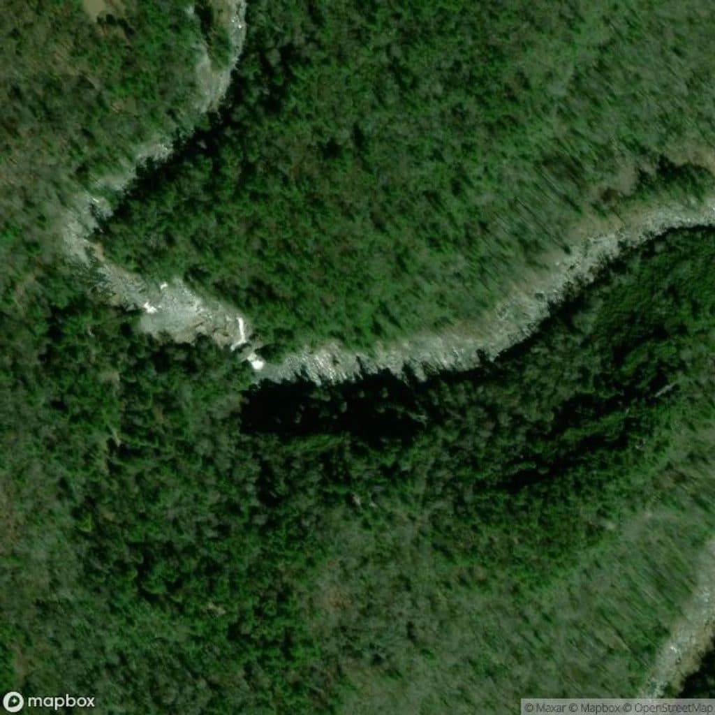 Sight · 2.2 mi awayPlunge Basin OverlookShort hike to Linville Falls’ dramatic plunge-pool viewpoint
 Visitor center · 2.4 mi awayLinville Falls Visitor CenterTrailhead hub for every view of Linville Falls and the Gorge
Parkwolf’s Blue Ridge Parkway ranking

The audio tour guide for the drive, plus offline maps, trails, and wildlife heatmaps for when the signal drops.





