
Place · 0 mi away
Challenging
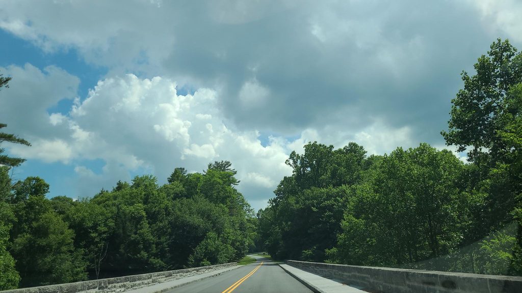
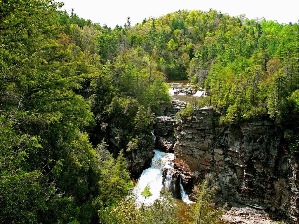
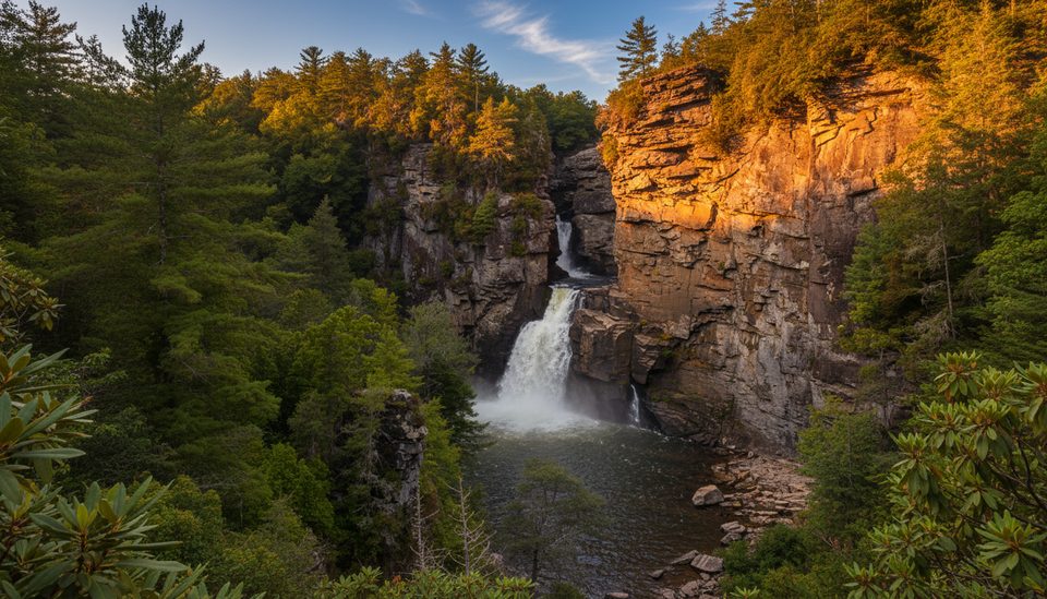
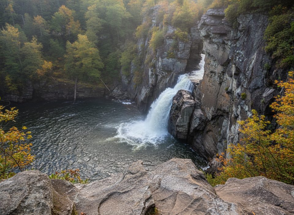
If you want the wild, dramatic side of the Linville Falls area, this is it. The Linville Gorge Trail (also called the Linville River Trail) dives into the “Grand Canyon of the Southern Appalachians,” trading the easy overlook crowds for rugged riverbank singletrack, steep grades, and raw gorge scenery. Expect cliffs, roaring water, and a remote feel minutes from the Parkway.
The full route runs roughly 16.2 miles one way from the Linville Falls area south to Wolf Pit Road, following the Linville River through the wilderness. Plan on about 8–9 hours for strong hikers point‑to‑point; out‑and‑back would be an overnight epic. Many visitors sample it as a shorter out‑and‑back from the Linville Falls Visitor Center or combine segments with rim/overlook trails. The National Park Service classifies the gorge‑bound trails here as strenuous, and rock scrambling or swimming near the falls is prohibited for safety [nps.gov](https://www.nps.gov/blri/planyourvisit/linville-falls-trails.htm).
Footing is rocky and rooty with steep ups/downs and occasional hands‑on moves. Wayfinding is straightforward leaving the Visitor Center but can become confusing deeper in the gorge where signage thins and social paths appear—bring a real map and offline navigation. Expect a wilderness vibe: primitive campsites, limited cell service, and unbridged river crossings that become hazardous in high water. Designated overlooks like Gorge View reward the effort with big, neck‑craning canyon perspectives [brptrails.com](https://www.brptrails.com/brp3164.htm).
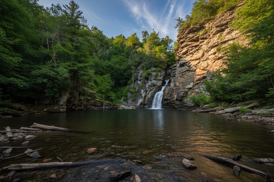
You’re walking the headwaters of one of the Blue Ridge’s most striking gorges. The river has carved through some of the range’s oldest rocks, dropping through the famous Linville Falls and into a deep, forested canyon. Spring wildflowers, lush summer greens, fiery fall color, and stark winter views keep it interesting across seasons.
Start at the Linville Falls Visitor Center on the Blue Ridge Parkway for the most reliable access, amenities, and clear trailheads. From here you can connect to overlooks or descend to the river and pick up the Linville Gorge Trail proper. Parking, restrooms, and water are available at the Visitor Center [nps.gov](https://www.nps.gov/blri/planyourvisit/linville-falls-trails.htm).
Park at the Linville Falls Visitor Center on the Blue Ridge Parkway; it’s the safest, best‑signed access with restrooms and water.
Strenuous grades, rugged footing, limited signage, and unbridged river crossings; no swimming or rock scrambling near the falls per NPS; limited cell service—carry a map and plan conservatively.
Place · 0 mi away
Place · 0.1 mi away
Place · 0.3 mi away
Place · 0.4 mi away
Moderate · 0 mi away
Easy · 0 mi away
Moderate · 0 mi away
Moderate · 0 mi away

Parkwolf Tour Guide
