Smart View Loop Trail in Blue Ridge Parkway

Blue Ridge Parkway, NC · VA

Smart View Loop Trail

A three-mile loop through meadows and woods to a historic cabin and a quiet Parkway overlook.

Photo: National Park Service
Length
3mi
Time
2hr
Elev. change
180ft
Difficulty
Easy
  • Loop
  • Dogs allowed
  • High point 2,664 ft

Hear the audio tour

Smart View: A Quiet Picnic Spot with a Historic Cabin

Overview

About Smart View Loop Trail

Why go

  • Historic Trail Family Cabin adds a genuine cultural stop mid-hike
  • Usually quieter than nearby Parkway hotspots, even in peak season

Heads up

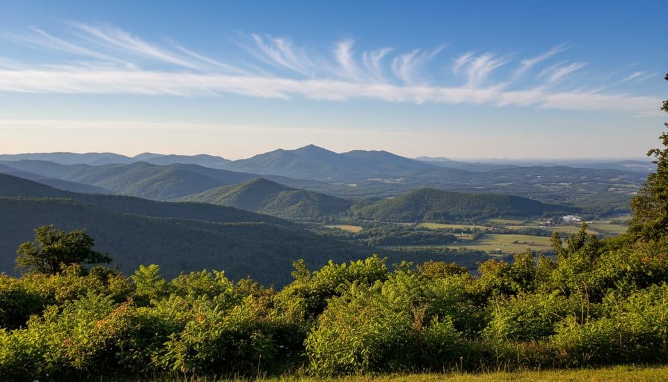
  • The overlook offers a narrow, not sweeping, view of the valley
  • Loose rocks hidden by leaves can make footing tricky in fall
Smart View is a relaxed Blue Ridge Parkway walk with real variety: open meadows, mature hardwoods, a historic cabin, and a modest namesake overlook. Most visitors stop at the picnic area, so the loop is often quieter than nearby Parkway attractions cnyhiking.com.
Parkwolf’s verdictWhy go

Map & elevation

The route

Loading the Blue Ridge Parkway map
Full map
Elevation2,484–2,664 ft
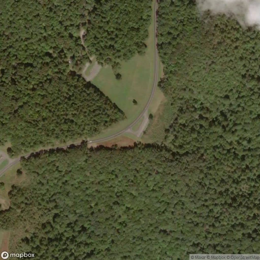
TrailheadSmart View Recreation Area36.92795, -80.19019
Keep this map with you offline in the Parkwolf app

Plan your hike

Before you go

Parking

Park at the signed Smart View Recreation Area entrance and picnic area at Parkway Milepost 154.5. The picnic-area gate may close seasonally; the Smart View Overlook is a secondary access with the trailhead about 600 feet to the right nps.gov nps.gov.

Best time to go

Use the signed Smart View Recreation Area entrance at Parkway Milepost 154.5. The picnic-area gate can close seasonally; when it is closed, park outside the gate as permitted and walk in. The Smart View Overlook is a secondary access, with the trailhead about 600 feet to the right nps.gov. The recreation area has picnic facilities, seasonal restrooms, and an information kiosk nps.gov.

Safety

Watch for loose rocks hidden under leaf cover and several short steeper sections; use sturdy shoes, especially in fall npplan.com.

2 active Blue Ridge Parkway alerts

  • ClosureNorth Carolina Helene-related closuresAvoid the closed Parkway section from MP 344.2–355.3; recreation of any kind is prohibited there.Official details
  • ClosureVirginia Parkway closures and detourFollow the signed detour around the closed James River Bridge and avoid the closed Roanoke Mountain Loop. - James River Bridge (MP 63.5–63.Official details
Blue Ridge Parkway alerts
A park ranger sits on a dash-mounted phone, talking, as Parkwolf’s Tour Guide plays “Army Cutworm Moths: A Grizzly Bear Buffet” on Grand Loop Road below Dunraven Pass in Yellowstone
Parkwolf Tour GuideThe highest, rockiest slopes around here are a summer buffet for grizzly bears.

Blue Ridge Parkway Tour Guide

Your drive to Smart View Loop Trail, narrated.

Parkwolf is a GPS audio tour guide for Blue Ridge Parkway. As you drive, it chimes in with what’s ahead: hidden gems, upcoming stops, history, geology, and wildlife, right through your car’s speakers.

See the Blue Ridge Parkway audio tour

Recorded for this trailhead

Smart View: A Quiet Picnic Spot with a Historic Cabin
Listen
“You're about to see signs for the Smart View Recreation Area. This is a classic Parkway picnic spot, a large, peaceful area with lots of shady trees and tables. The best thing to do here is the easy 2.”

Plays as you drive up to this trailhead in the Parkwolf Blue Ridge Parkway Tour Guide.

More stories near here in the app

  • Dark Skies on the Parkway
  • Tobacco Barns: Ovens of the Plateau
  • Snakes of the Blue Ridge: Shy Neighbors
  • 277 audio storiesacross Blue Ridge Parkway’s roads, triggered by GPS as you drive
  • Wildlife heatmapsfor Black Bear, Elk, White-tailed Deer, and 13 more
  • Works offlinemaps, 112 trails, 232 places, and audio download before you lose signal
  • CarPlay readysimple controls built for the drive
★★★★★
“…We knew we wanted to drive the Blue Ridge Parkway. The narration was impeccably timed. The facts and info provided were meaningful. Without it, the trip would not have been near as awesome.”
Ashl GApp Store review
Download Parkwolf on the App StoreGet Parkwolf on Google Play

4.7 from 8,600+ ratings

Trail guide

Hiking Smart View Loop Trail

The hikeThis is a three-mile loop from the Smart View Recreation Area, and it takes about two hours at…

This is a three-mile loop from the Smart View Recreation Area, and it takes about two hours at an easy-to-moderate pace cnyhiking.com nps.gov. The route is mostly level, dry, and smooth underfoot, with several short hills, a few steeper sections, and natural-surface tread through woods and meadows.

What you will seeThe loop passes the Trail Family Cabin, built in the 1890s, and the Smart View Overlook, whose…

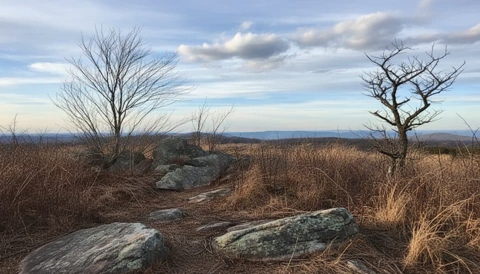
The loop passes the Trail Family Cabin, built in the 1890s, and the Smart View Overlook, whose view looks between two hills toward the Pigg River Valley rather than across a broad panorama nps.gov. Woods, meadows, stream drainages, wildflowers, and the cabin keep the scenery varied nps.gov.

Tips and cautionsWear sturdy shoes: loose rocks can hide under leaves, and a short steeper section may feel…

Wear sturdy shoes: loose rocks can hide under leaves, and a short steeper section may feel strenuous. The route is signed and has shorter connector options, but this listing follows the complete main loop cnyhiking.com.

Bottom lineSmart View is a quietly satisfying three-mile loop for a low-key walk with varied scenery,…

Smart View is a quietly satisfying three-mile loop for a low-key walk with varied scenery, local history, and room to breathe. Choose another Parkway stop if you want a sweeping long-distance vista.

Wildlife

Wildlife in Blue Ridge Parkway

All Blue Ridge Parkway wildlife maps

Sighting maps show where each species has been reported across Blue Ridge Parkway. Wildlife moves, so no sighting is guaranteed.

Parkwolf’s Blue Ridge Parkway ranking

Top-rated trails in Blue Ridge Parkway

All 112 trails
  1. 1Art Loeb TrailChallenging · 30.1 mi
  2. 2Rough Ridge TrailModerate · 1.2 mi
  3. 3Sharp Top TrailChallenging · 3 mi
  4. 4Tennent Mountain LoopModerate · 5 mi
  5. 5Daniel Boone Scout TrailChallenging · 7.2 mi
  6. 6Deep Gap Trail (Mount Mitchell)Challenging · 7.2 mi

Take Parkwolf to Blue Ridge Parkway.

The audio tour guide for the drive, plus offline maps, trails, and wildlife heatmaps for when the signal drops.

4.7 from 8,600+ ratings

Download Parkwolf on the App StoreGet Parkwolf on Google Play