Challenging

Art Loeb Trail

North Carolina’s classic 30-mile ridgeline epic of balds and quartz
Art Loeb Trail, Blue Ridge Parkway
Distance30.1 mi
Typical time18 hr
DifficultyChallenging
PetsAllowed

Why hike it

If you’re after a big, wild North Carolina ridge walk, this is the one. The Art Loeb is a 30.1-mile point-to-point traverse from the Davidson River area near Brevard to Camp Daniel Boone near Waynesville, linking deep forests to windswept balds and the quartz-capped Shining Rock high country. It’s strenuous, spectacular, and carries serious wilderness vibes—best for experienced hikers who are comfortable with route-finding and mountain weather [en.wikipedia.org](https://en.wikipedia.org/wiki/Art_Loeb_Trail).

The experience

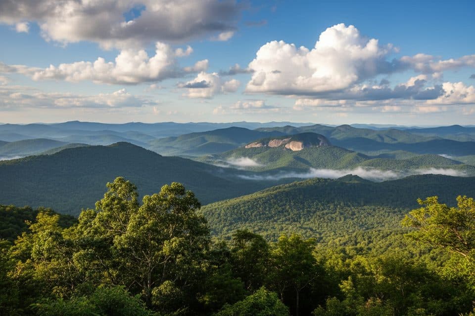
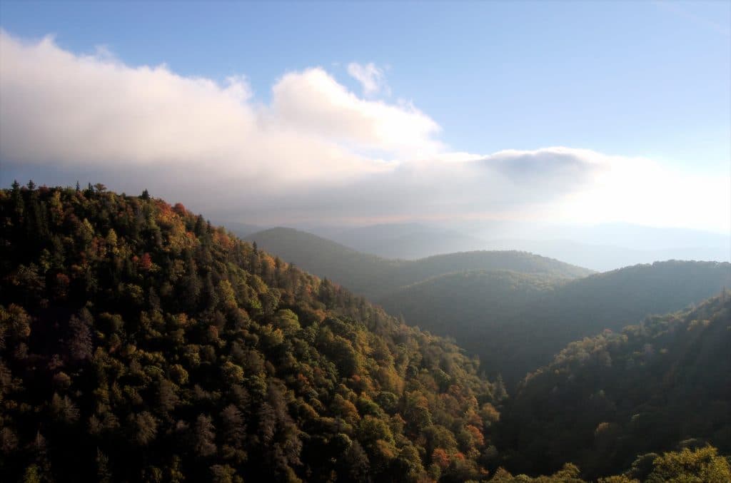
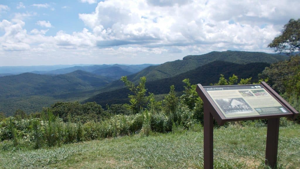
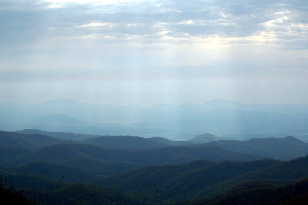
Expect long climbs, rugged tread, and extended time above 6,000 feet. Signature moments include walking the open grassy summits of Black Balsam Knob (6,214 ft) and Tennent Mountain (6,040 ft) with 360-degree views, then dipping into spruce-fir and hardwood forests before popping back onto airy ridgelines. The trail threads the famed Shining Rock Wilderness, named for striking white quartz outcrops that gleam in the sun—one of the route’s defining geologic highlights [en.wikipedia.org](https://en.wikipedia.org/wiki/Art_Loeb_Trail). In season, the balds can be blue with wild blueberries; in clear weather, the panoramas feel endless.

Route, markings, and navigation

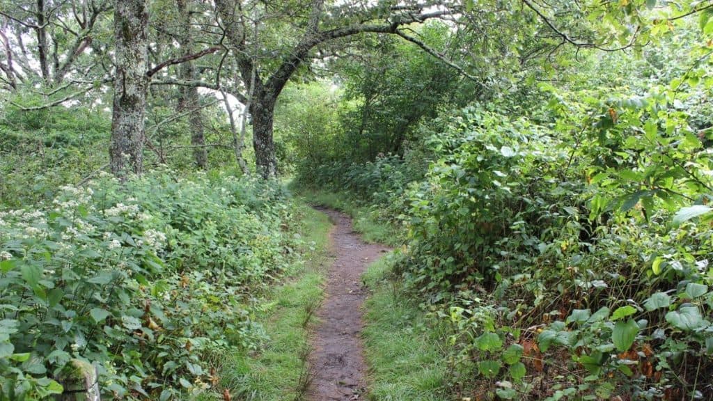
This is a white-blazed trail, but don’t let that lull you: blazes thin out and intersections multiply in Shining Rock Wilderness. Carry a reliable map (Pisgah District Ranger map or the Art Loeb Pocket Profile Map), practice good backcountry nav, and if you haven’t seen a blaze in a while, backtrack to your last known junction and reassess [visithaywood.com](https://visithaywood.com/listings/art-loeb-hiking-trail/). Primitive shelters at Deep Gap and Butter Gap can help you structure an itinerary, though most backpackers still plan for self-sufficient camping [en.wikipedia.org](https://en.wikipedia.org/wiki/Art_Loeb_Trail).

How to hike it

Most hikers take 2–4 days to complete the full traverse; very strong parties sometimes cover it in 12–18 hours of moving time, but that’s an athletic push and conditions matter [hikewnc.info](https://www.hikewnc.info/trailheads/pisgah-national-forest/long-distance/art-loeb-trail/). If you want the views without the full commitment, the high-country segment near the Blue Ridge Parkway—around Black Balsam and Tennent—delivers maximum payoff for a shorter day outing [en.wikipedia.org](https://en.wikipedia.org/wiki/Art_Loeb_Trail).

Logistics and access

South to north is classic: start at Davidson River and finish at Camp Daniel Boone (or reverse). For day hikes to the alpine-like meadows, use the Parkway-accessible Black Balsam area; it’s popular but for good reason. Water can be patchy and seasonal, so plan sources carefully. Dogs are allowed but must stay leashed, and the terrain, exposure, and limited water make this a tougher outing for pets [hikewnc.info](https://www.hikewnc.info/trailheads/pisgah-national-forest/long-distance/art-loeb-trail/).

Best time to hike

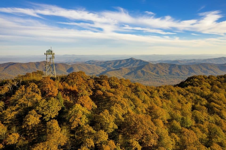
March–November is the sweet spot: spring wildflowers, blueberry-rich late summer, and fiery foliage in fall. Winter can be harsh with ice, snow, and fierce winds on the exposed balds—only go then if you’re fully equipped and experienced. To dodge crowds in the Black Balsam area, aim for weekdays, early starts, or shoulder-season windows. Photographers: golden hours on the balds are magic; plan your approach so you’re on the open ridges at sunrise or sunset [visitsmokies.org](https://www.visitsmokies.org/art-loeb-trail-discover-north-carolinas-premier-hiking-adventure/) [visithaywood.com](https://visithaywood.com/listings/art-loeb-hiking-trail/).

Final call

It’s a Southeastern classic—rugged, varied, and deeply rewarding. Come prepared for big weather, bigger views, and real navigation. Worth every step if you’re ready for it [en.wikipedia.org](https://en.wikipedia.org/wiki/Art_Loeb_Trail).

Pros

  • Quick high-country access near the Parkway lets you cherry-pick the best balds for a day hike
  • Primitive shelters at Deep Gap and Butter Gap offer flexible overnight options on a traverse
  • Multiple 6,000-foot summits with sustained time on open balds for panoramic views

Cons

  • Wayfinding can be tricky in Shining Rock Wilderness due to sparse blazes and confusing junctions
  • Long, potentially dry stretches require careful water planning
  • High-country segments near Black Balsam get crowded in peak season

Parking

Southern terminus parking at Davidson River near Brevard; for high-country day sections use Blue Ridge Parkway access points around Black Balsam (FS 816).

Caution

Navigation challenges in Shining Rock Wilderness (few blazes, multiple forks). Exposed balds mean fast-changing weather, high winds, and winter ice/snow. Water sources can be seasonal—plan resupplies. Dogs must be leashed. As of March 2025, closures affected the Camp Daniel Boone end and the Blue Ridge Parkway crossing due to wildfire activity; check current conditions before you go.

The Parkwolf tour guide sitting on a phone mounted in a car

Parkwolf Tour Guide

Like a tour guide in your car.

Bring Blue Ridge Parkway trail research into the car, with offline maps and stories that play as you drive.Download Parkwolf on the App Store