
Place · 0.3 mi away
Challenging
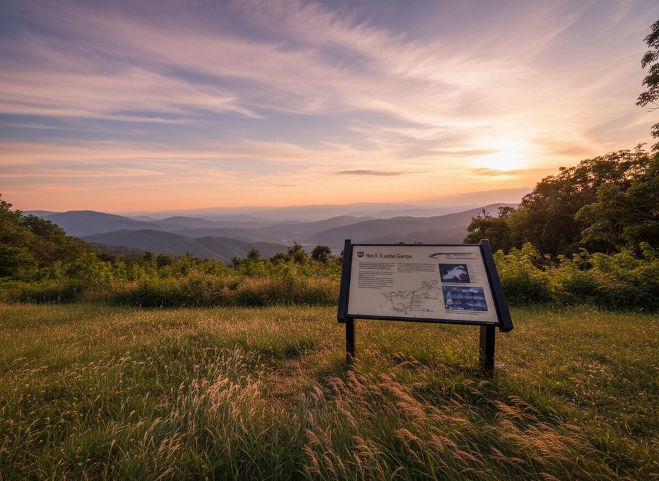
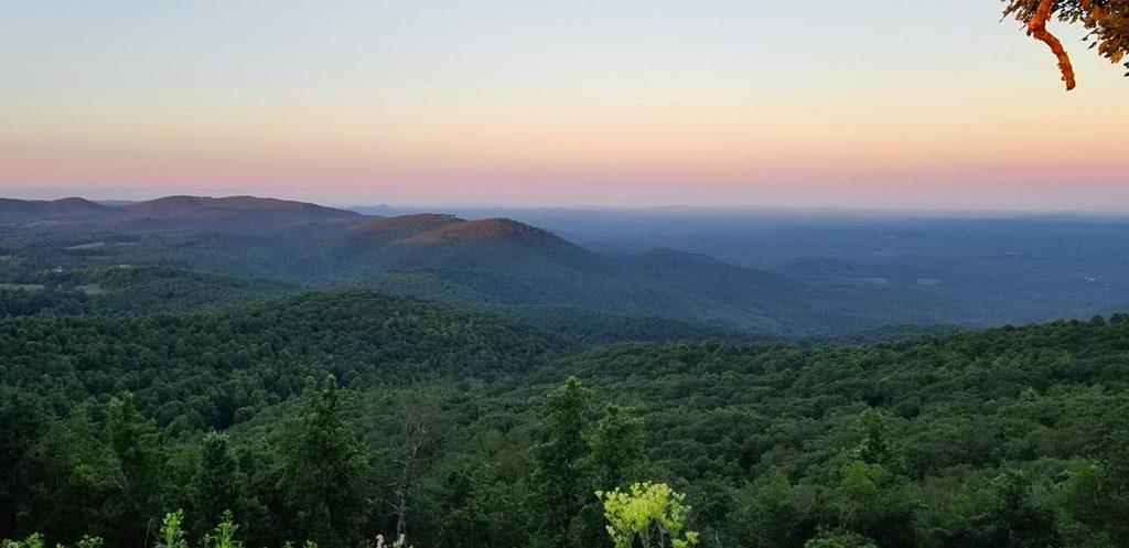
This is a demanding, scenic classic in the Rocky Knob area of the Blue Ridge Parkway. The full loop is about 10.8 miles total, mixing quiet creekside walking in a deep gorge with open ridgetop meadows and big views. Expect real elevation swings between roughly 1,700 feet on the gorge floor and 3,572 feet up high—rewarding if you’re prepared, punishing if you’re not.
It’s a true loop with multiple places to start, most commonly at Rocky Knob Campground on the Parkway or down in the lower gorge. The main route is marked with green blazes. If you start at the lowest point in the gorge, you’ll face a notorious climb of nearly 1,200 feet in under a mile—get it done early if you like to front‑load the work. Starting high at the campground lets you descend that steep section instead. Overall, plan for steep ascents/descents, uneven tread, and a full‑day effort for most hikers.
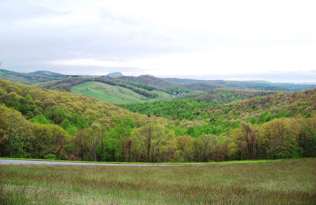
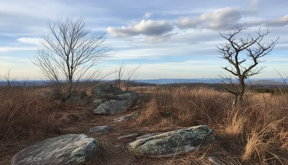
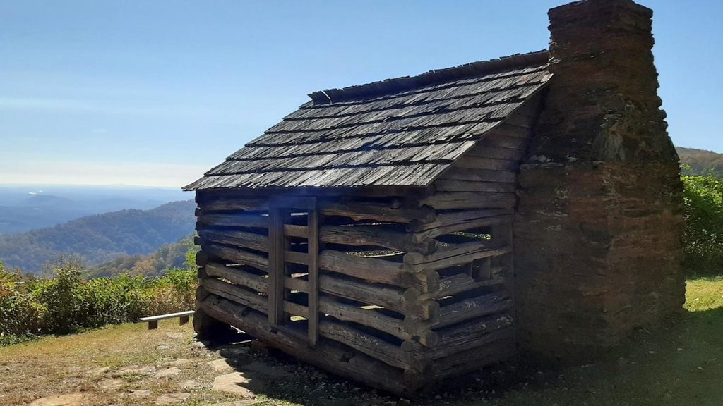
The gorge is narrow and dramatic, carved by Rock Castle Creek, with four metal bridge crossings and stretches of shaded forest. Up high, the trail rolls through open meadows with panoramic vistas and scattered boulder fields. History is everywhere: chimney ruins from old homesteads, the historic Austin House (1916), old barns, and even an old Appalachian Trail shelter. Keep an eye out for spring wildflowers (200+ species noted here), hardwoods and ferns in the forest, and wildlife like wild turkey, red fox, woodchuck, white‑tailed deer, and the occasional bobcat. Notable viewpoints include Rock Castle Gorge Overlook and 12 O’clock Knob Overlook.
Spring is prime for wildflowers and migrating songbirds (warblers, thrushes, vireos). Fall brings a knockout foliage display across both the meadows and the gorge. Summer can be hot and humid—shade and creek sections help, but start early. In winter, the trail is open, but steep grades can be icy or slick and some services operate only in summer; choose clear, dry periods and carry traction if conditions warrant.
Grab a trail map at the visitor center near the Rocky Knob picnic area and confirm any seasonal updates. For a gentler day, start at Rocky Knob Campground so you descend the steepest grade; for a fitness challenge, start low and go counterclockwise to climb it first. Trekking poles help on the steep, rocky sections and during long descents. There’s a single permitted primitive campsite in the gorge—camp only where allowed and get the required permit. Water is available along the creek but treat anything you collect; there are no reliable resupply points on the loop. Expect old farm fences and stiles in meadow sections; stay on the signed path.
Park at Rocky Knob Campground on the Blue Ridge Parkway or at the lower gorge parking near the confluence of Rock Castle Creek and Little Rock Castle Creek; a visitor center near the Rocky Knob picnic area offers maps.
Strenuous elevation changes with a very steep mile; footing can be rocky and slick, especially in winter or after rain. Limited services and no reliable resupply—carry ample water/food and a map. Camping only at the permitted primitive site; use stiles and stay on trail through pasture areas.
Place · 0.3 mi away
Place · 0.7 mi away
Place · 0.7 mi away
Place · 1.4 mi away
Challenging · 0.7 mi away
Moderate · 0.7 mi away
Easy · 5 mi away
Easy · 12.1 mi away

Parkwolf Tour Guide
