Parking
Park in the Mount Mitchell State Park summit-area lot and follow signs toward the Deep Gap Trail access near the picnic area. Confirm Blue Ridge Parkway and park access before driving, especially in winter.

#6 of 112 trails in Blue Ridge Parkway
Blue Ridge Parkway, NC · VA
Rugged high-elevation crest hike from Mount Mitchell to Deep Gap
Overview
Map & elevation
Plan your hike

The highest, rockiest slopes around here are a summer buffet for grizzly bears.
Blue Ridge Parkway Tour Guide
Parkwolf is a GPS audio tour guide for Blue Ridge Parkway. As you drive, it chimes in with what’s ahead: hidden gems, upcoming stops, history, geology, and wildlife, right through your car’s speakers.
See the Blue Ridge Parkway audio tourMore stories near here in the app
“…We knew we wanted to drive the Blue Ridge Parkway. The narration was impeccably timed. The facts and info provided were meaningful. Without it, the trip would not have been near as awesome.”


Trail guide
Deep Gap Trail follows the Black Mountain Crest north from the Mount Mitchell State Park summit area to Deep Gap, with a rugged high-elevation traverse over Mount Craig, Big Tom, Balsam Cone, Cattail Peak, and Potato Hill. The stored line runs from the summit-area trailhead to the Deep Gap turnaround; plan this as an out-and-back.
The mapped corridor is about 3.57 miles one way, while the visitor hike is about 7.2 miles round trip. Allow roughly 5–6 hours for the full outing, including steep climbs, descents, rocky footing, and pauses for views. The ridge repeatedly rises and falls, so cumulative effort is greater than the distance alone suggests.
Expect a strenuous, demanding mountain route through spruce–fir forest and exposed rocky ridgeline, with broad views across the Black Mountains. Sections beyond Mount Craig can involve scrambling and fixed-rope-assisted descents; wet, icy, windy, or foggy conditions make the route significantly harder. The trail is not wheelchair accessible. Dogs are allowed only on leash.
Wildlife
 1,208 sightingsBlack BearMost seen around 7 AMSighting map
 1,020 sightingsElkMost seen around 7 AMSighting map
 2,257 sightingsWhite-tailed DeerMost seen around 6 PMSighting map
 200 sightingsCoyoteMost seen around 6 PMSighting map
 1,126 sightingsWild TurkeyMost seen around 7 AMSighting map
 255 sightingsRed-tailed HawkMost seen around 11 AMSighting map
Sighting maps show where each species has been reported across Blue Ridge Parkway. Wildlife moves, so no sighting is guaranteed.
Keep exploring
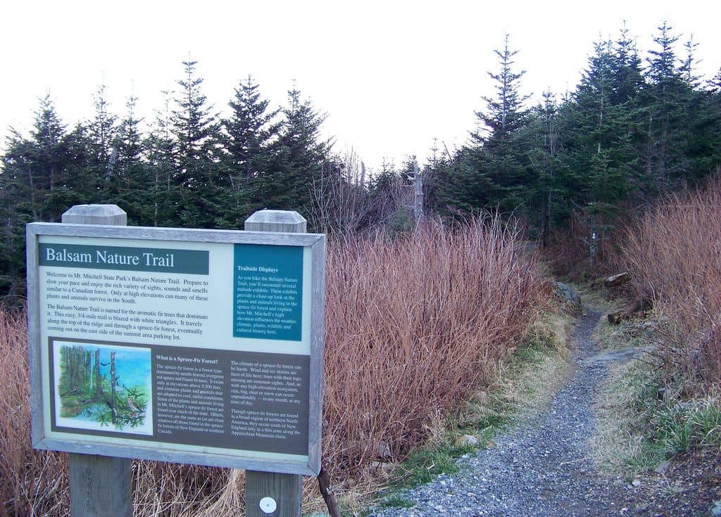 EasyBalsam Nature Trail (Mount Mitchell)0.8 mi · 30 min · 0.1 mi awayShort, moderate summit loop through rare Fraser fir and red spruce forest
 ModerateOld Mitchell Trail4 mi · 2.5 hr · 1.7 mi awayA rocky climb to Mount Mitchell’s high-elevation summit
 ChallengingLittle Butt Trail4.8 mi · 4 hr · 4.1 mi awayHigh-elevation ridge hike to a rocky overlook with big views
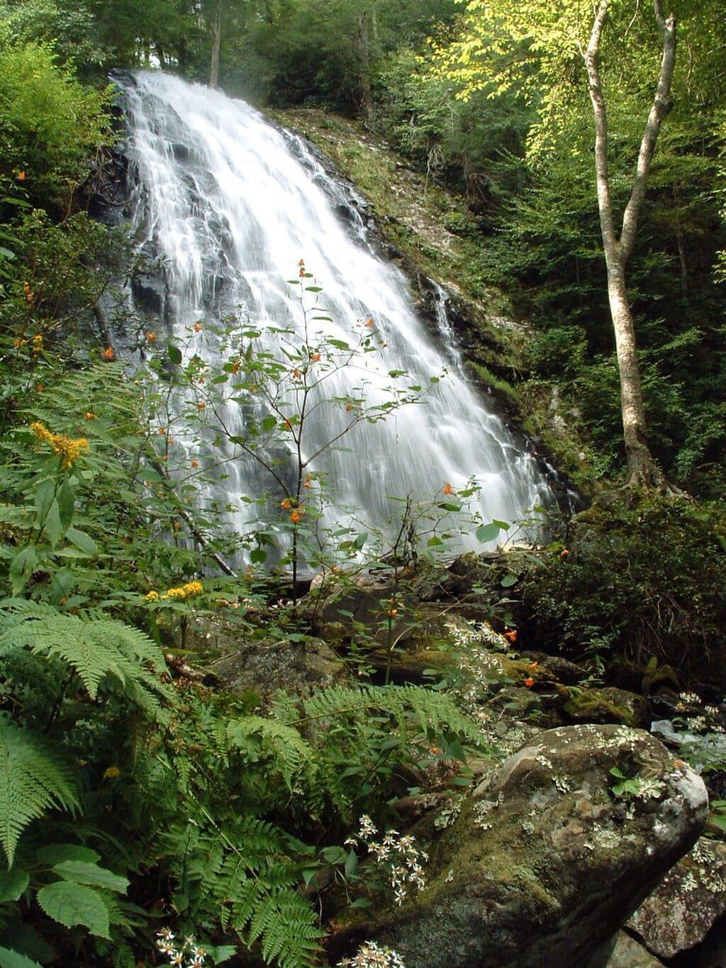 ModerateCrabtree Falls Loop Trail3 mi · 2 hr · 7.5 mi awayA moderately strenuous Parkway waterfall loop with a steep descent and a longer, gentler climb back
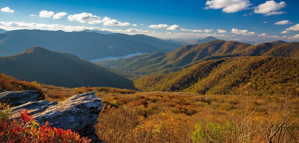 EasyPinnacle Trail1.4 mi · 45 min · 7.5 mi awayShort climb, giant views, and classic rhododendron tunnels
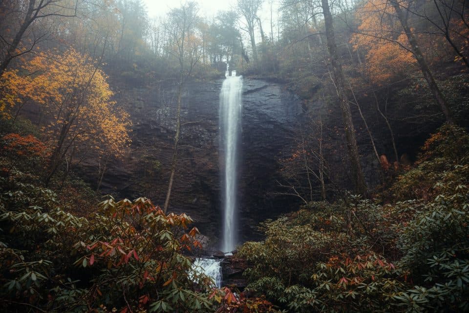 ChallengingDouglas Falls Trail6.6 mi · 5.5 hr · 7.9 mi awayRugged trek to a 70-foot waterfall through wild, hemlock forest
 ModerateCraggy Gardens Trail1.6 mi · 1 hr · 8 mi awayRhododendron-lined out-and-back from the visitor center to Craggy Gardens Picnic Area
 ChallengingSnowball Mountain Trail2.7 mi · 2 hr · 8.9 mi awayA short ridge hike to Hawkbill Rock, with a steep climb
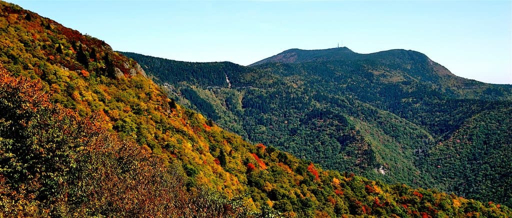 Sight · 0.2 mi awayMount MitchellShort walk to the East’s highest peak and sweeping 360-degree views
 Sight · 0.4 mi awayMount Mitchell State ParkEasy summit of the East’s highest peak with sweeping views
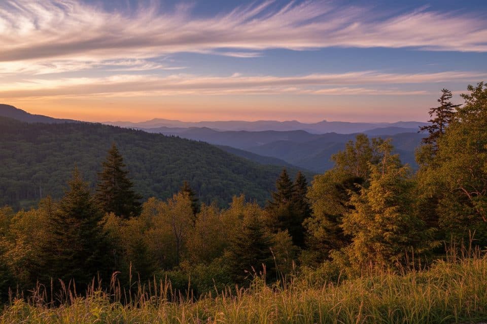 Scenic pullout · 3.6 mi awayRidge Junction Overlook (MP 355.3)Close views of the Black Mountains near the Mount Mitchell spur
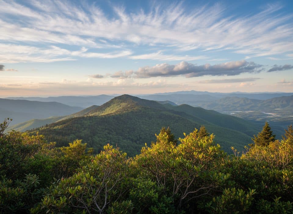 Scenic pullout · 4 mi awayView Mount Mitchell Overlook (MP 349.9)Quick roadside peek at the East’s highest peak
 Sight · 4 mi awayGreen Knob Observation TowerShort hike to a historic fire tower on the Eastern Divide
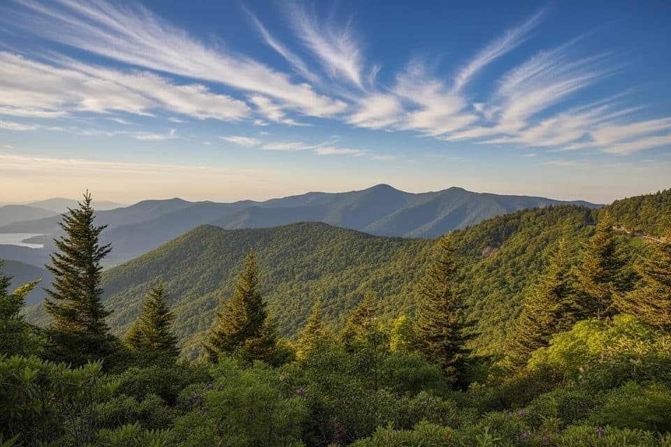 Scenic pullout · 4.1 mi awayWalker Knob Overlook (MP 359.8)Quiet overlook with big views and trail access
 Scenic pullout · 4.2 mi awayGreen Knob Overlook (MP 350.4)Valley views and a short, steep hike to a historic fire tower
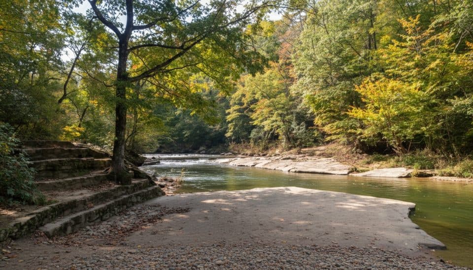 Campground · 4.2 mi awayCarolina Hemlocks CampgroundShaded riverside camping with swimming, tubing, and trout fishing
Parkwolf’s Blue Ridge Parkway ranking

The audio tour guide for the drive, plus offline maps, trails, and wildlife heatmaps for when the signal drops.





