Place · 1.4 mi away
Challenging

If you want a classic Grandfather Mountain grind with real payoff, this is it. The Daniel Boone Scout Trail climbs the mountain’s northeastern ridge from the Blue Ridge Parkway and delivers airy viewpoints, high-elevation spruce–fir forest, and a spicy finish of fixed ladders and cables near the summit of Calloway Peak (5,946 feet).
Plan on about 7.0–7.2 miles total, out-and-back to Calloway Peak. From the Boone Fork Parking Area on the Parkway (MP 299.9), cross the footbridge over Boone Fork Creek and follow the Tanawha Trail roughly 0.6–0.7 miles to the signed junction with the Daniel Boone Scout Trail. From there, it’s a steady, often steep climb to the crest and up to Calloway. Most hikers take 4–5 hours, but leave extra time if you linger at overlooks or move carefully on the ladders and cables.
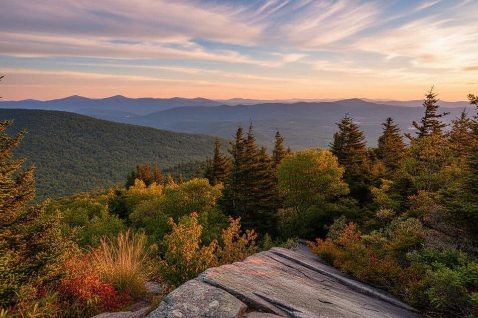
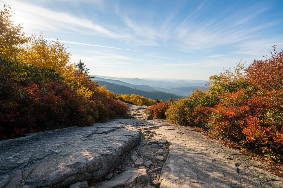
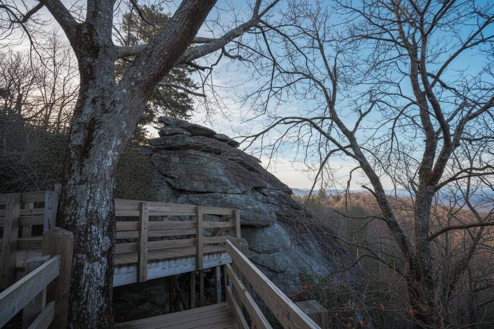
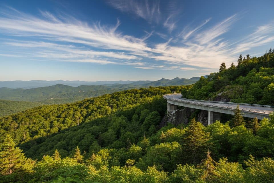
The lower miles wander from creekside forest into rhododendron and blueberry thickets, then into cool, high-elevation spruce–fir as you gain the ridge. Along the way, expect named vistas like Flat Rock View, Watauga View, and Viaduct View, with ever-wider panoramas and sheer drops toward the Piedmont. Near the top, fixed ladders and cables get you up and over rocky crags—part of the fun, but also the crux.
This is a strenuous mountain hike with about 2,000 feet of climbing. After that first footbridge, the “flat” is basically over. Upper sections are rocky, rooty, and slow, with exposure in places. Weather turns fast up here—fog can kill visibility and winds can be serious—so pack layers and navigate deliberately. Trails are signed, and you’ll encounter junctions with Nuwati, Cragway, and the crest routes; carry a map or GPS and expect white blazes on this route.
Prefer a little more scenery on the way up? Many hikers detour via the Nuwati and Cragway trails and rejoin the crest, then tag Calloway and return the most direct way. It adds effort but ups the views. Short on time? Turning around at Flat Rock or Watauga View still nets a rewarding day.
Park at Boone Fork on the Parkway; it fills early in peak season. As the Tanawha Trail leaves the Parkway corridor into Grandfather Mountain State Park, stop at the kiosk to fill out a free, self-issue day-use permit. In winter, Parkway closures are common—if closed, many access from US 221 via the Asutsi Trail, which adds roughly 0.4 miles and connects to this network.
Spring and summer bring wildflowers and cooler ridge temps. Fall shines with foliage and crisp views. Winter can be beautiful but icy—only for well-prepared hikers, and access may require the US 221 approach. For quieter trails and softer light, go early on weekdays; afternoon storms are common in summer.
This is a demanding, technical-leaning mountain hike. If ladders, exposure, or sustained climbing aren’t your thing, skip the summit push and enjoy the mid-route overlooks. Dogs will struggle with the ladders; plan accordingly.
Boone Fork Parking Area on the Blue Ridge Parkway (MP 299.9). Cross the footbridge, take Tanawha Trail ~0.6–0.7 mi to the Daniel Boone Scout Trail junction. Lot fills early; winter access often shifts to US 221 via the Asutsi Trail (adds ~0.4 mi).

Strenuous climb with ~2,000 ft gain; rock, roots, and exposure. Fixed ladders and cables near the summit; not pet-friendly. Weather changes fast—fog and wind common. Fill out the free self-issue permit at the state park kiosk. Parkway may close in winter.