Parking
Use the Yankee Horse Ridge Overlook parking area at Parkway milepost 34.4. The area has parking for cars, buses, and RVs, plus a picnic table and trash receptacles; toilets, drinking water, and food service aren't listed.

Blue Ridge Parkway, NC · VA
A quick loop pairs a logging railroad relic with a small waterfall.
Photo: Nicolas Raymond from Bethesda, Maryland, USA, CC BY 2.0, via Wikimedia Commons
Overview
Map & elevation
Plan your hike

The highest, rockiest slopes around here are a summer buffet for grizzly bears.
Blue Ridge Parkway Tour Guide
Parkwolf is a GPS audio tour guide for Blue Ridge Parkway. As you drive, it chimes in with what’s ahead: hidden gems, upcoming stops, history, geology, and wildlife, right through your car’s speakers.
See the Blue Ridge Parkway audio tourRecorded for this trailhead
Yankee Horse Ridge: Rails and Wigwam Falls“Up ahead is Yankee Horse Ridge, where a fifteen-minute walk pairs Wigwam Falls with a reconstructed logging railroad.”
Plays as you drive up to this trailhead in the Parkwolf Blue Ridge Parkway Tour Guide.
More stories near here in the app
“…We knew we wanted to drive the Blue Ridge Parkway. The narration was impeccably timed. The facts and info provided were meaningful. Without it, the trip would not have been near as awesome.”


Trail guide
Yankee Horse Trail is a 0.2-mile loop from the Yankee Horse Ridge parking area at milepost 34.4. It passes a restored section of logging railroad track and trestle, then follows the stream to Wigwam Falls and returns to the lot. Allow about 15 minutes for the walk and a look around. The walk to the waterfall base is roughly 0.1 mile; the return leg brings the full loop to about 0.2 mile.
The loop climbs about 60 feet, but it is very short. Railroad ties make the footing uneven, and rocks beside the stream and the small footbridge can be slick when wet. At the railroad trestle, take the left branch toward the falls; the old grade continues south beyond this short loop.
The restored 42-inch narrow-gauge track recalls the Irish Creek Railroad, used by the South River Lumber Company from 1916 to 1939. Climax locomotives hauled timber from the mountain, with temporary spurs reaching into nearby hollows. The former line now passes through regrowing forest; a separate stroll continues about half a mile south along the old grade.
The waterfall changes with rainfall: it may be a modest streamside cascade and grows stronger after rain. Spring is a good time to look for wildflowers and migrating birds around the overlook. Dogs are allowed on a leash no longer than six feet.
Wildlife
 1,214 sightingsBlack BearMost seen around 7 AMSighting map
 1,021 sightingsElkMost seen around 7 AMSighting map
 2,266 sightingsWhite-tailed DeerMost seen around 6 PMSighting map
 200 sightingsCoyoteMost seen around 6 PMSighting map
 1,130 sightingsWild TurkeyMost seen around 7 AMSighting map
 255 sightingsRed-tailed HawkMost seen around 11 AMSighting map
Sighting maps show where each species has been reported across Blue Ridge Parkway. Wildlife moves, so no sighting is guaranteed.
Keep exploring
 ChallengingWhetstone Ridge Trail11.3 mi · 6.5 hr · 4.5 mi awayAn 11.3-mile ridge walk with a tricky final switchback descent.
 EasyBig Spy Mountain Trail0.1 mi · 15 min · 6.1 mi awayA grassy hilltop loop for open valley views and cloud watching.
 ModerateBald Mountain Trail4.4 mi · 3 hr · 8.7 mi awayA moderate 4.4-mile out-and-back from Parkway milepost 22.
 ChallengingMine Bank Creek Trail to Saint Mary's Falls9.4 mi · 6.5 hr · 8.7 mi awayA 9.4-mile wilderness route to a waterfall and old mining traces.
 ModerateWhite Rock Gap Trail5.1 mi · 2.8 hr · 9.5 mi awayA steep descent leads through forest to Upper Sherando Lake.
 ModerateIndian Gap Trail0.2 mi · 15 min · 9.6 mi awayA short wooded loop circles huge boulders and a narrow rock opening.
 ModerateWhite Rock Falls Trail0.9 mi · 54 min · 9.7 mi awayA short streamside walk to small falls
 ModerateSlacks Overlook Trail3.6 mi · 2 hr · 9.8 mi awayA wooded ridge walk from the overlook to White Rock Gap.
 Sight · At the trailheadYankee Horse Ridge Overlook and Wigwam FallsA small waterfall and a logging railroad on one short walk.
 Scenic pullout · 2.7 mi awayBoston Knob OverlookA shaded picnic stop with a short walk and modest mountain view.
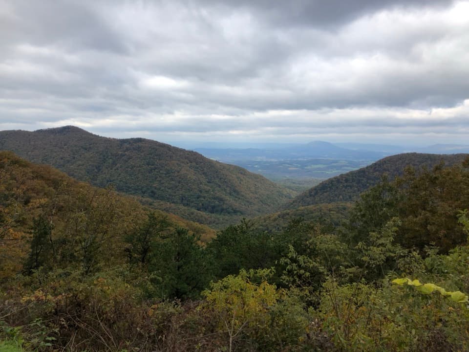 Scenic pullout · 5.6 mi awayIrish Creek Valley OverlookA quick pullout where the mountains open onto Irish Creek Valley.
 Scenic pullout · 6.1 mi awayBig Spy Mountain OverlookA brief grassy climb opens a quieter Blue Ridge view.
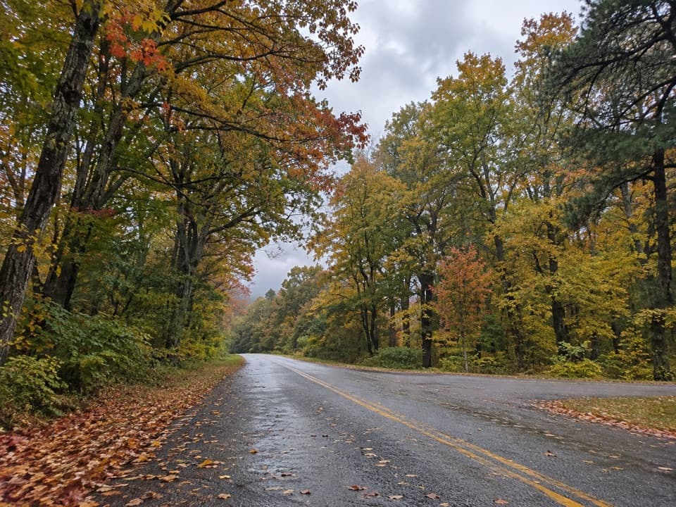 Scenic pullout · 7.2 mi awayWhite’s Gap OverlookA brief milepost pause, with one picnic table for snacks.
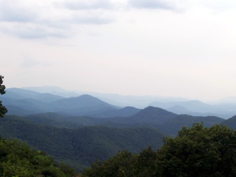 Scenic pullout · 7.6 mi awayChimney Rock Mountain OverlookA quick pull-in for Virginia’s layered mountain ridges
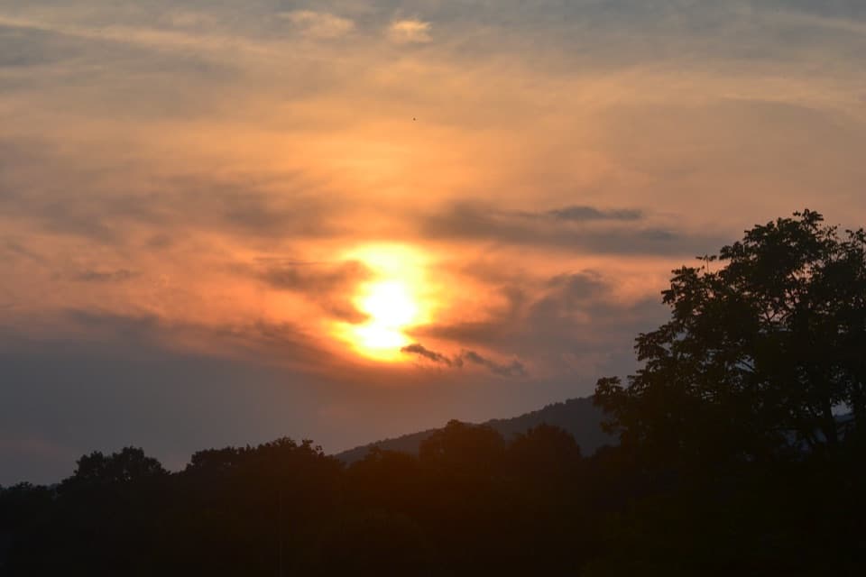 Scenic pullout · 8.3 mi awayBuena Vista OverlookA quick look toward Buena Vista from the Parkway.
 Scenic pullout · 8.7 mi awayFork Mountain OverlookA signed stop for a direct look at Fork Mountain.
Parkwolf’s Blue Ridge Parkway ranking

The audio tour guide for the drive, plus offline maps, trails, and wildlife heatmaps for when the signal drops.





