Parking
Primary parking is at the White Rock Gap parking area near Parkway Milepost 18.5; The Slacks Overlook has a smaller alternative lot for the shorter waterfall outing. Cross the Parkway carefully to the signed/marked access area.
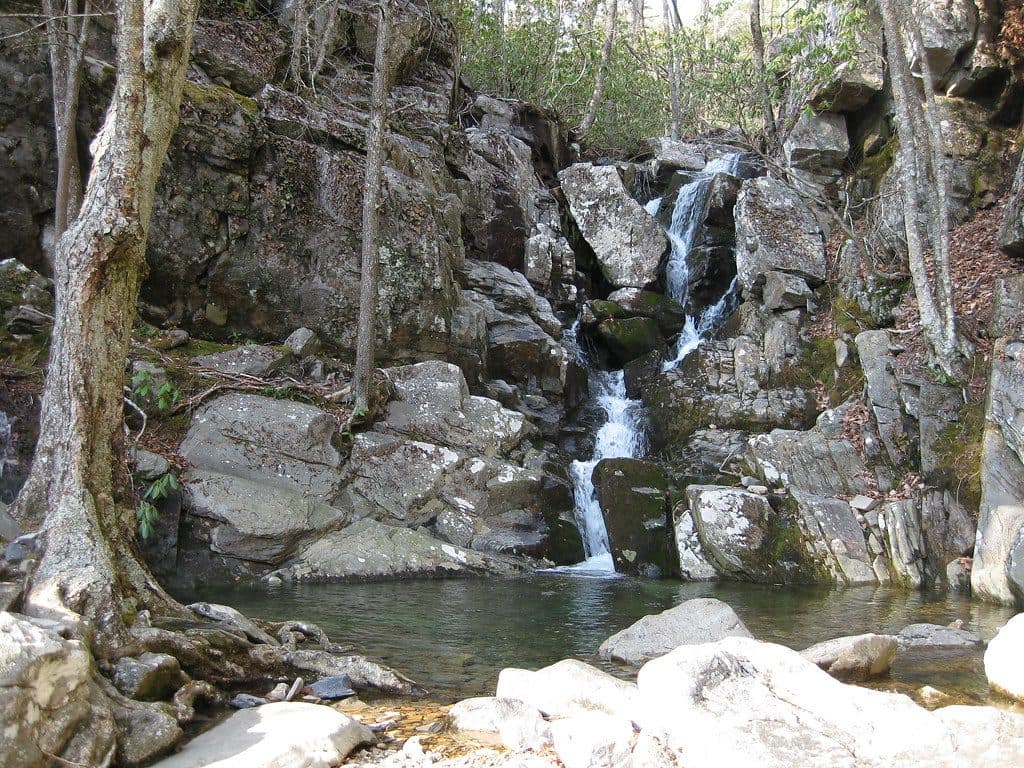
Blue Ridge Parkway, NC · VA
Moderate waterfall loop with gorge scenery and mountain views off the Blue Ridge Parkway
Overview
White Rock Falls Trail is a moderate 4.7-mile loop near Milepost 18.5–20 on the Blue Ridge Parkway. It links the yellow-blazed White Rock Falls Trail (Forest Trail 482), the Slacks Overlook Trail, and the White Rock Gap Trail for a waterfall, creek, gorge, forest, and mountain-view outing. Plan about 2.5 hours at a relaxed hiking pace, including time for the falls and overlooks.
 Parkwolf’s verdictWhy hike this trail
Map & elevation
Plan your hike

The highest, rockiest slopes around here are a summer buffet for grizzly bears.
Blue Ridge Parkway Tour Guide
Parkwolf is a GPS audio tour guide for Blue Ridge Parkway. As you drive, it chimes in with what’s ahead: hidden gems, upcoming stops, history, geology, and wildlife, right through your car’s speakers.
See the Blue Ridge Parkway audio tourRecorded for this trailhead
White Rock Gap: A Ravine and Waterfall Trailhead“You're pulling up to the White Rock Gap parking area. This is one of the main starting points for the hike down to White Rock Falls. The trail from here immediately drops into a scenic, rocky ravine.”
Plays as you drive up to this trailhead in the Parkwolf Blue Ridge Parkway Tour Guide.
More stories near here in the app
“…We knew we wanted to drive the Blue Ridge Parkway. The narration was impeccably timed. The facts and info provided were meaningful. Without it, the trip would not have been near as awesome.”


Trail guide
Start at the White Rock Falls Trailhead at the White Rock Gap parking area near Parkway Milepost 18.5. Cross the Blue Ridge Parkway to the subtle trail entrance in the gully, then follow the yellow-blazed route through the forest to White Rock Falls and its pools. The loop continues toward the Parkway near The Slacks Overlook, crosses to the blue-blazed Slacks Overlook Trail, joins the White Rock Gap Trail, and returns to the White Rock Gap parking area. The final mapped line is about 4.786 miles; the visitor distance is rounded to 4.7 miles. The falls are about 1.7 miles from the White Rock Gap start. A shorter access from The Slacks is a separate roughly 2.2-mile round trip to the falls, not this loop.
The route follows White Rock Creek through shaded forest, former hemlock habitat, rocky gorge sections, and several cascades leading to the roughly 30-foot White Rock Falls and a natural pool. The loop’s upper sections add two mountain-view overlooks and a quieter walk through hardwood forest.
The loop is moderate overall, with roughly 896 feet of elevation gain. Expect dirt, roots, rocks, steep switchbacks, creek crossings on bridges or stones, and a short scramble on slick rock near the waterfall. Allow extra time for the climb out of the gorge and take care around wet surfaces.
Use the White Rock Gap parking area as the primary trailhead; The Slacks Overlook is another access point for the shorter waterfall outing. From either parking area, the trail begins across the Blue Ridge Parkway, so cross only when traffic allows. White Rock Gap has a larger lot and a trail kiosk; The Slacks lot is smaller. Dogs are allowed on leash.
Wildlife
 1,208 sightingsBlack BearMost seen around 7 AMSighting map
 1,020 sightingsElkMost seen around 7 AMSighting map
 2,257 sightingsWhite-tailed DeerMost seen around 6 PMSighting map
 200 sightingsCoyoteMost seen around 6 PMSighting map
 1,126 sightingsWild TurkeyMost seen around 7 AMSighting map
 255 sightingsRed-tailed HawkMost seen around 11 AMSighting map
Sighting maps show where each species has been reported across Blue Ridge Parkway. Wildlife moves, so no sighting is guaranteed.
Keep exploring
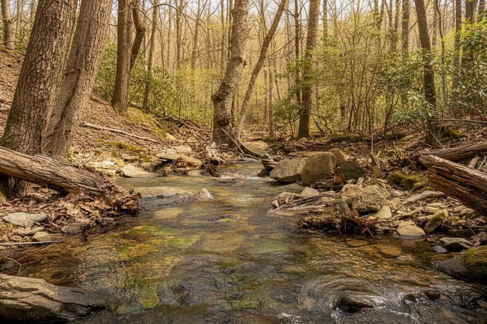 ModerateWhite Rock Gap Trail3.4 mi · 2 hr · At the trailheadWhite Rock Gap out-and-back to a series of cascades through a shady ravine.
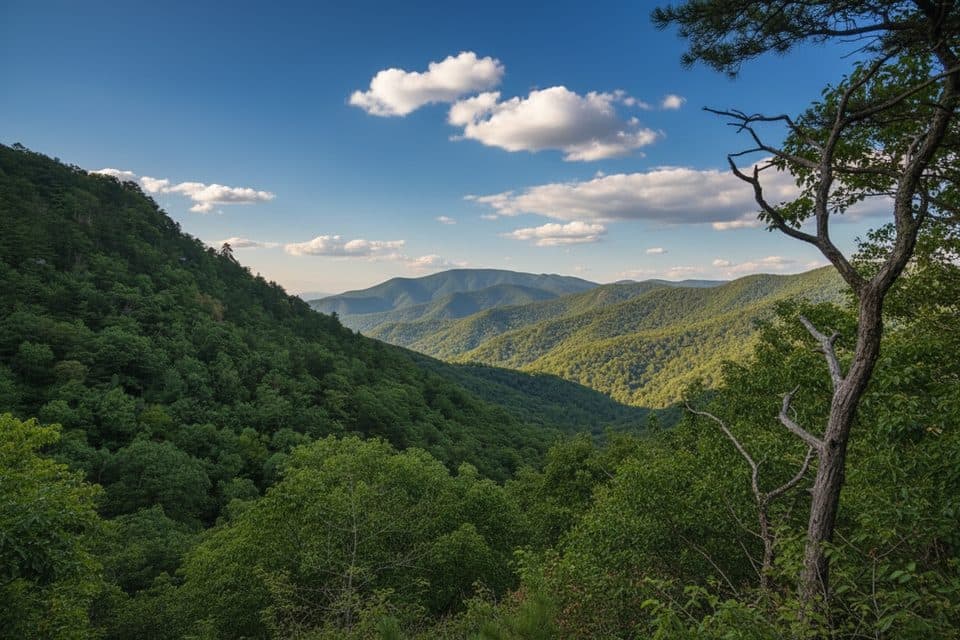 ChallengingTorry Ridge Trail7 mi · 4 hr · 1.8 mi awayA rugged, shuttle-friendly Blue Ridge descent from Bald Mountain to Torry Furnace
 EasyWigwam Falls Trail0.2 mi · 15 min · 9.5 mi awayBlink-and-you’re-there walk to a photogenic falls and logging rails
 ChallengingHumpback Mountain Trail4.2 mi · 3 hr · 9.5 mi awayStrenuous loop to Humpback Rocks with Appalachian Trail ridge walking
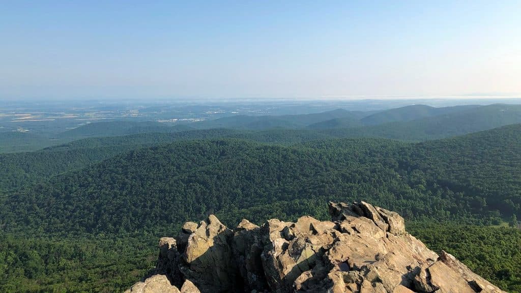 ChallengingHumpback Rocks Trail2 mi · 2 hr · 9.5 mi awaySteep mile to knockout summit views, with history on the side
 ModerateAlbright Loop Trail3.5 mi · 2.5 hr · 9.5 mi awayQuieter Humpback Rocks alternative with a forest loop, Appalachian Trail section, and optional overlook spur
 EasyMountain Farm Trail0.5 mi · 20 min · 9.5 mi awayEasy out-and-back through an 1890s Appalachian farmstead
 Scenic pullout · 0.5 mi away20 Minute Cliff OverlookQuiet roadside perch with big westward views and a quirky name story
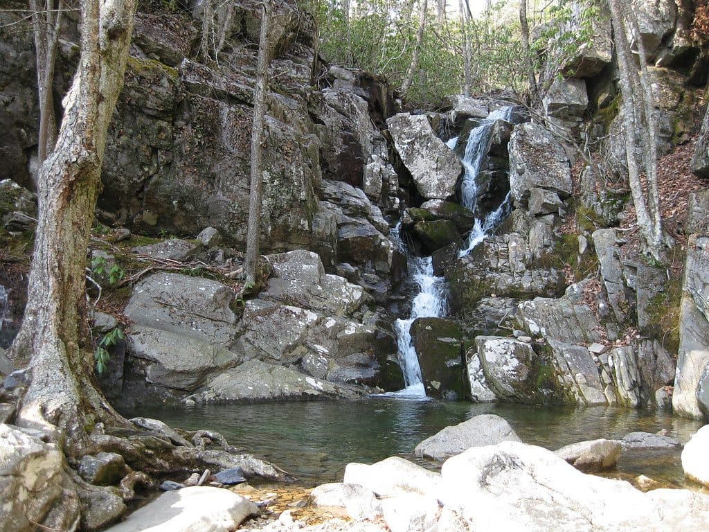 Sight · 0.7 mi awayWhite Rock FallsShady waterfall hike with wading pools and surprise mountain views
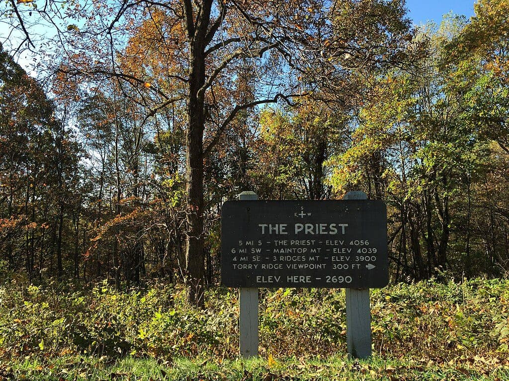 Scenic pullout · 0.7 mi awayThe Priest OverlookQuick roadside view toward The Priest and Three Ridges
 Sight · 3.7 mi away3 Ridges Mountain OverlookClassic Three Ridges view from a quick Parkway pull-off
 Scenic pullout · 5.7 mi awayRaven's Roost OverlookWest-facing overlook with an iconic tree and knockout sunsets
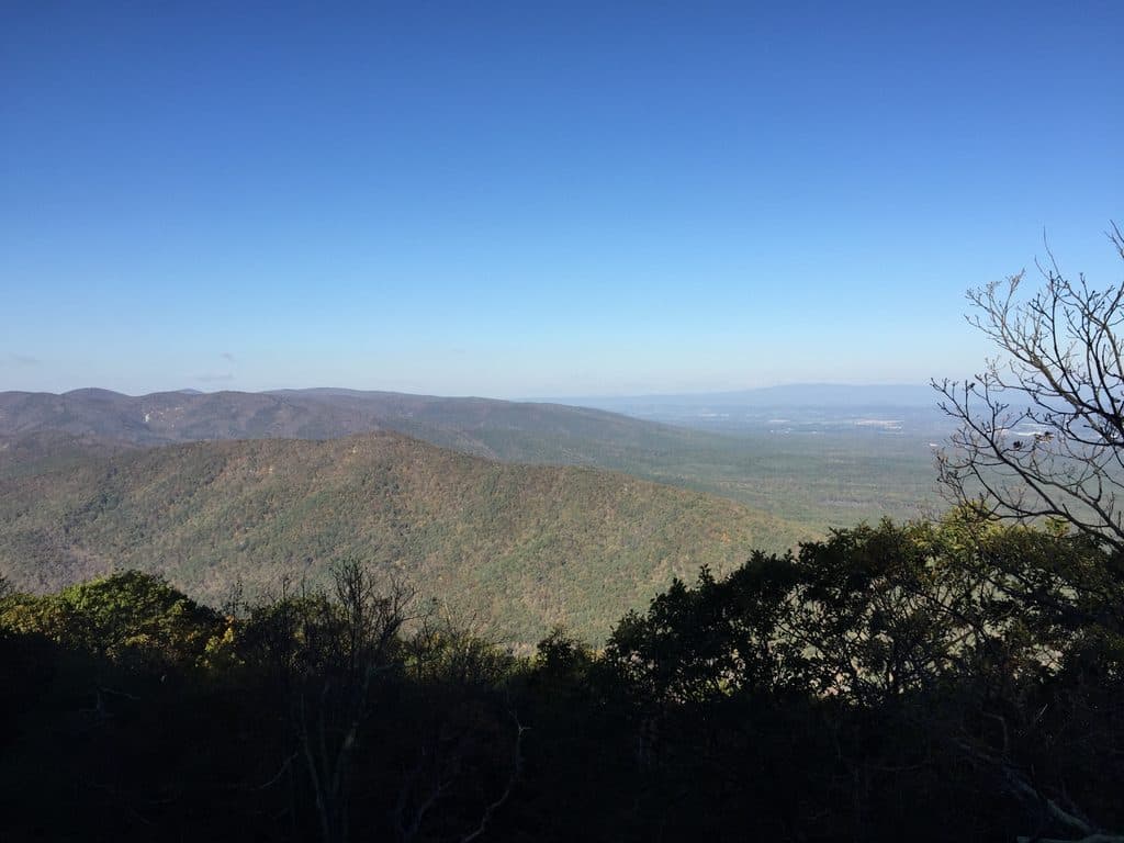 Scenic pullout · 6 mi awayRock Point OverlookQuiet pullout with broad views over Back Creek Valley
 Scenic pullout · 7.1 mi awayCatoctin OverlookQuiet Parkway pullout with wide mountain views
 Scenic pullout · 7.3 mi awayGreenstone OverlookQuiet overlook with a short geology loop and valley views
Parkwolf’s Blue Ridge Parkway ranking
The audio tour guide for the drive, plus offline maps, trails, and wildlife heatmaps for when the signal drops.





