Parking
Indian Gap Parking Area, Blue Ridge Parkway milepost 47.5, about two miles south of the U.S. 60 junction. Enter the trail at the north end of the lot; a picnic table is about 100 feet up the trail.

Blue Ridge Parkway, NC · VA
A short wooded loop circles huge boulders and a narrow rock opening.
Overview
Map & elevation
Plan your hike

The highest, rockiest slopes around here are a summer buffet for grizzly bears.
Blue Ridge Parkway Tour Guide
Parkwolf is a GPS audio tour guide for Blue Ridge Parkway. As you drive, it chimes in with what’s ahead: hidden gems, upcoming stops, history, geology, and wildlife, right through your car’s speakers.
See the Blue Ridge Parkway audio tourRecorded for this trailhead
Indian Gap: A Short Walk Among Boulders“Up ahead is Indian Gap, where a short wooded walk takes you among huge boulders and a narrow opening beneath an overhanging rock. Allow ten to twenty minutes for the loop from the north end of the parking area.”
Plays as you drive up to this trailhead in the Parkwolf Blue Ridge Parkway Tour Guide.
More stories near here in the app
“…We knew we wanted to drive the Blue Ridge Parkway. The narration was impeccably timed. The facts and info provided were meaningful. Without it, the trip would not have been near as awesome.”


Trail guide
Indian Gap is a short wooded circuit from the north end of the Indian Gap Parking Area around the Indian Rocks boulder field. The mapped loop is about 0.2 mile and ends at a second access beside the same lot; allow about 10–20 minutes, plus time to explore. The approach starts on gravel, then follows leaf- and pine-needle-covered tread past mountain laurel and rhododendron. Published estimates also reach 0.3 mile; the shorter figure follows the named mapped loop, and wandering among the boulders adds distance.
The payoff is a cluster of very large stones, including a narrow opening beneath an overhanging boulder. There is no broad overlook. Several worn paths weave around the rocks, so the main way around the loop can be hard to pick out; follow the continuous trail instead of every side track.
Wildlife
 1,214 sightingsBlack BearMost seen around 7 AMSighting map
 1,021 sightingsElkMost seen around 7 AMSighting map
 2,266 sightingsWhite-tailed DeerMost seen around 6 PMSighting map
 200 sightingsCoyoteMost seen around 6 PMSighting map
 1,130 sightingsWild TurkeyMost seen around 7 AMSighting map
 255 sightingsRed-tailed HawkMost seen around 11 AMSighting map
Sighting maps show where each species has been reported across Blue Ridge Parkway. Wildlife moves, so no sighting is guaranteed.
Keep exploring
 ModerateYankee Horse Trail0.2 mi · 15 min · 9.6 mi awayA quick loop pairs a logging railroad relic with a small waterfall.
 ModerateOtter Creek Trail3.5 mi · 2.5 hr · 9.9 mi awayFollow Otter Creek from a campground to the James River valley.
 ModerateOtter Lake Loop Trail0.9 mi · 45 min · 11.4 mi awayShort climbs, creek crossings, and old cabin stones beside a lake.
 EasyJames River Trail0.4 mi · 20 min · 11.6 mi awayA quick James River crossing to a restored canal lock.
 ModerateTrail of Trees0.3 mi · 30 min · 11.6 mi awayA shaded tree loop with a James River water-gap view.
 ChallengingWhetstone Ridge Trail11.3 mi · 6.5 hr · 13.8 mi awayAn 11.3-mile ridge walk with a tricky final switchback descent.
 Scenic pullout · 1.2 mi awayHouse Mountain OverlookA quick pull-off where two distant peaks merge into one.
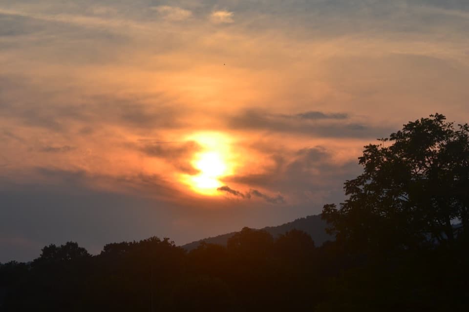 Scenic pullout · 1.6 mi awayBuena Vista OverlookA quick look toward Buena Vista from the Parkway.
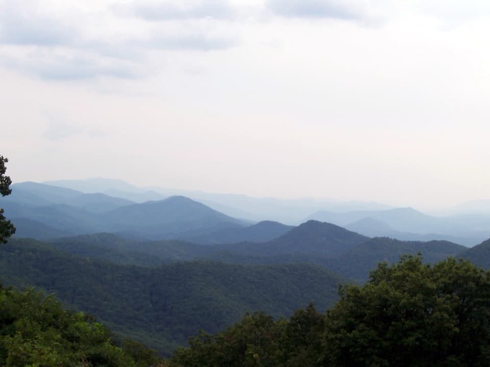 Scenic pullout · 2.4 mi awayChimney Rock Mountain OverlookA quick pull-in for Virginia’s layered mountain ridges
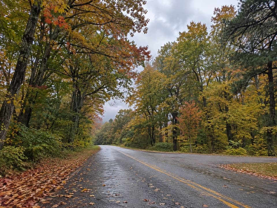 Scenic pullout · 2.9 mi awayWhite’s Gap OverlookA brief milepost pause, with one picnic table for snacks.
 Scenic pullout · 3.8 mi awayBluff Mountain OverlookA tunnel-side stop with a fire-tower story on the ridge above.
 Scenic pullout · 3.9 mi awayRice Mountain OverlookA quick pull-off for the wooded ridge of Rice Mountain.
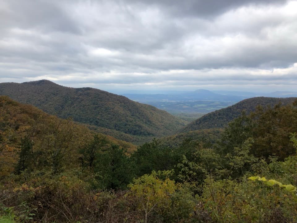 Scenic pullout · 4.8 mi awayIrish Creek Valley OverlookA quick pullout where the mountains open onto Irish Creek Valley.
 Scenic pullout · 8 mi awayBoston Knob OverlookA shaded picnic stop with a short walk and modest mountain view.
Parkwolf’s Blue Ridge Parkway ranking

The audio tour guide for the drive, plus offline maps, trails, and wildlife heatmaps for when the signal drops.





