Parking
Park at the White Rock Gap parking area on the Blue Ridge Parkway near milepost 18.5. The trail begins across the Parkway from the lot; use the kiosk and cross carefully.
Blue Ridge Parkway, NC · VA
White Rock Gap out-and-back to a series of cascades through a shady ravine.
Overview
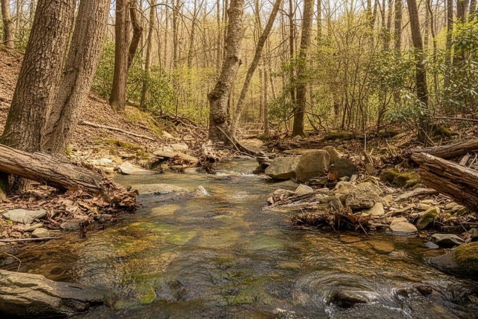
Start at the White Rock Gap parking area near Blue Ridge Parkway milepost 18.5, cross the Parkway, and follow the yellow-blazed White Rock Falls Trail through a shady, rocky ravine to a series of cascades and White Rock Falls. The route combines a quiet forest walk with a photogenic waterfall destination.
 Parkwolf’s verdictWhy go
Map & elevation
Plan your hike

The highest, rockiest slopes around here are a summer buffet for grizzly bears.
Blue Ridge Parkway Tour Guide
Parkwolf is a GPS audio tour guide for Blue Ridge Parkway. As you drive, it chimes in with what’s ahead: hidden gems, upcoming stops, history, geology, and wildlife, right through your car’s speakers.
See the Blue Ridge Parkway audio tourRecorded for this trailhead
White Rock Gap: A Ravine and Waterfall Trailhead“You're pulling up to the White Rock Gap parking area. This is one of the main starting points for the hike down to White Rock Falls. The trail from here immediately drops into a scenic, rocky ravine.”
Plays as you drive up to this trailhead in the Parkwolf Blue Ridge Parkway Tour Guide.
More stories near here in the app
“…We knew we wanted to drive the Blue Ridge Parkway. The narration was impeccably timed. The facts and info provided were meaningful. Without it, the trip would not have been near as awesome.”


Trail guide
This record represents the White Rock Gap out-and-back to the falls. The visitor distance is roughly 3.4 miles total, while the stored line follows the physical corridor once for about 1.6 miles each way; it does not duplicate the return leg. The trail drops and climbs through the ravine, includes a creek crossing, and ends at the waterfall spur.
Expect natural singletrack with roots, rocks, uneven grades, and a stream crossing. The falls and nearby cascades sit among boulders, and the short approach near the water can be slick or awkward after rain. Route markers and the parking-area kiosk help identify the crossing from the Parkway, but the trailhead itself is across the road from the lot.
Use the White Rock Gap lot and cross the Parkway carefully to reach the trail. Wear shoes with reliable traction, especially after rain, and keep children and pets close near the road and creek. The waterfall is most photogenic after wet weather, but wet rocks require extra care.
Wildlife
 1,208 sightingsBlack BearMost seen around 7 AMSighting map
 1,020 sightingsElkMost seen around 7 AMSighting map
 2,257 sightingsWhite-tailed DeerMost seen around 6 PMSighting map
 200 sightingsCoyoteMost seen around 6 PMSighting map
 1,126 sightingsWild TurkeyMost seen around 7 AMSighting map
 255 sightingsRed-tailed HawkMost seen around 11 AMSighting map
Sighting maps show where each species has been reported across Blue Ridge Parkway. Wildlife moves, so no sighting is guaranteed.
Keep exploring
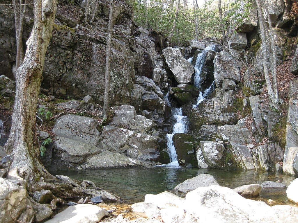 ModerateWhite Rock Falls Trail4.7 mi · 2.5 hr · At the trailheadModerate waterfall loop with gorge scenery and mountain views off the Blue Ridge Parkway
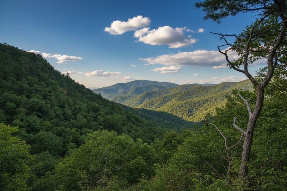 ChallengingTorry Ridge Trail7 mi · 4 hr · 1.8 mi awayA rugged, shuttle-friendly Blue Ridge descent from Bald Mountain to Torry Furnace
 EasyWigwam Falls Trail0.2 mi · 15 min · 9.5 mi awayBlink-and-you’re-there walk to a photogenic falls and logging rails
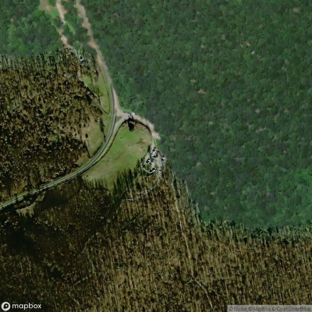 ChallengingHumpback Mountain Trail4.2 mi · 3 hr · 9.5 mi awayStrenuous loop to Humpback Rocks with Appalachian Trail ridge walking
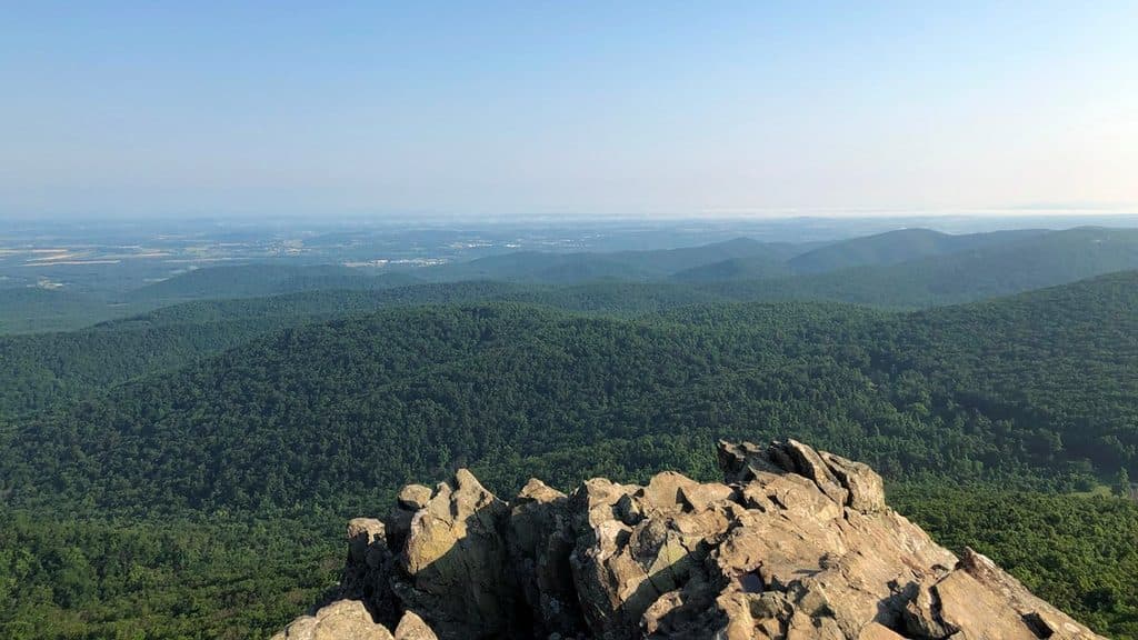 ChallengingHumpback Rocks Trail2 mi · 2 hr · 9.5 mi awaySteep mile to knockout summit views, with history on the side
 ModerateAlbright Loop Trail3.5 mi · 2.5 hr · 9.5 mi awayQuieter Humpback Rocks alternative with a forest loop, Appalachian Trail section, and optional overlook spur
 EasyMountain Farm Trail0.5 mi · 20 min · 9.5 mi awayEasy out-and-back through an 1890s Appalachian farmstead
 Scenic pullout · 0.5 mi away20 Minute Cliff OverlookQuiet roadside perch with big westward views and a quirky name story
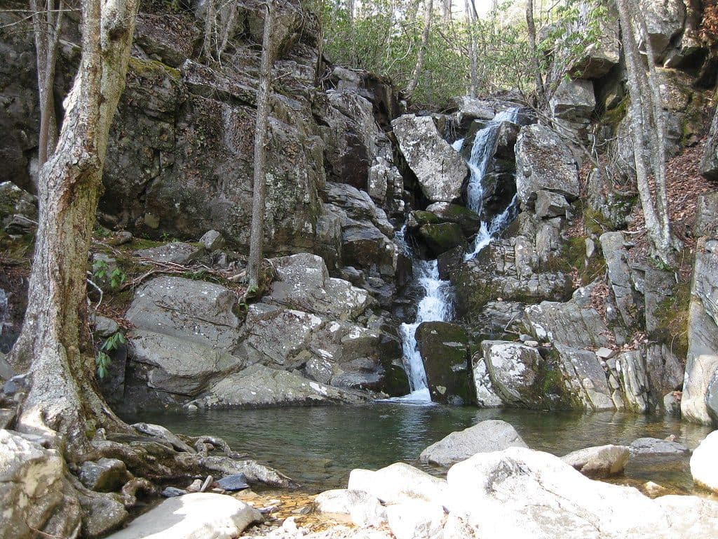 Sight · 0.7 mi awayWhite Rock FallsShady waterfall hike with wading pools and surprise mountain views
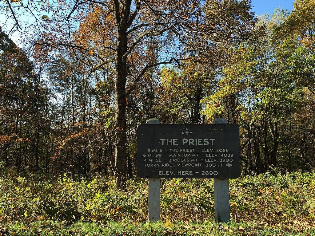 Scenic pullout · 0.7 mi awayThe Priest OverlookQuick roadside view toward The Priest and Three Ridges
 Sight · 3.7 mi away3 Ridges Mountain OverlookClassic Three Ridges view from a quick Parkway pull-off
 Scenic pullout · 5.7 mi awayRaven's Roost OverlookWest-facing overlook with an iconic tree and knockout sunsets
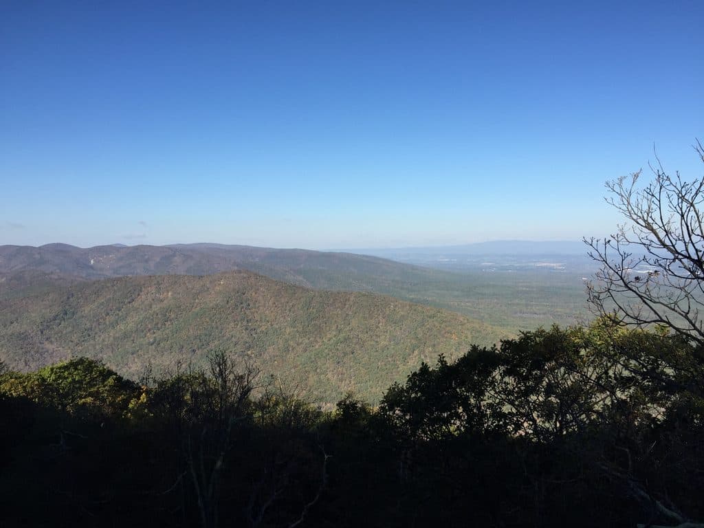 Scenic pullout · 6 mi awayRock Point OverlookQuiet pullout with broad views over Back Creek Valley
 Scenic pullout · 7.1 mi awayCatoctin OverlookQuiet Parkway pullout with wide mountain views
 Scenic pullout · 7.3 mi awayGreenstone OverlookQuiet overlook with a short geology loop and valley views
Parkwolf’s Blue Ridge Parkway ranking
The audio tour guide for the drive, plus offline maps, trails, and wildlife heatmaps for when the signal drops.





