Parking
Use the House of Bruar car park on the B8079. The signed route starts left of the building and passes under the railway.

#12 of 260 trails in Cairngorms
Cairngorms National Park, SC
A short gorge loop links waterfalls, stone bridges, and a Burns story.
Overview
Map & elevation
Plan your hike

The highest, rockiest slopes around here are a summer buffet for grizzly bears.
Cairngorms Tour Guide
Parkwolf is a GPS audio tour guide for Cairngorms National Park. As you drive, it chimes in with what’s ahead: hidden gems, upcoming stops, history, geology, and wildlife, right through your car’s speakers.
See the Cairngorms audio tourRecorded for this trailhead
Falls of Bruar and House of Bruar“You're coming up on House of Bruar, the starting point for the Falls of Bruar walk. Give the full gorge circuit an hour to ninety minutes for cascades, a natural rock arch and stone bridges.”
Plays as you drive up to this trailhead in the Parkwolf Cairngorms Tour Guide.
More stories near here in the app
“Fantastic app with many points of information… It’s great to just turn on while you’re driving and it gives you an audio tour of the national Park. We love it!!!!”


Trail guide
Falls of Bruar Trail is a 1.5-mile (2.5-kilometre) loop from the House of Bruar car park, following Bruar Water through woodland to its lower and upper falls before returning on the opposite bank. Allow about one to one and a half hours for the full circuit, including the climb, two bridge crossings and stops at the viewpoints. The lower falls make a good turnaround if you want the easier outing; completing the loop adds a steeper, rougher climb with steps. On the full circuit, continue uphill past Lower Bridge and cross it only on the way back.
Walk around the front of House of Bruar and take the signed path uphill on the left, just before the road bridge. It passes beneath the railway and then follows the stream upstream; never walk onto the tracks. The approach to the lower falls is smooth gravel with moderate gradients, and clear pools sit below the path. The woodland begins with Scots pine, then changes to birch, rowan, aspen and willow as you climb.
Near a carved wooden bench, steps lead to a viewing platform for the first falls. A low natural rock arch projects over the river there. Return to the main path and keep climbing toward the upper bridge. The circuit gets steeper beyond the lower falls, with rougher earth and more steps on the west side. The gorge has steep sides and significant drops, so keep children close to the path.
At Lower Bridge, stay on the uphill path rather than crossing; the full loop reaches the higher stone bridge first. From Upper Bridge, look down into the gorge, then continue on the far bank past a picnic area set off to the left, with seats facing Bruar Water. As the path turns downhill through Scots pine, a seat gives a view of the higher upper falls. Cross Lower Bridge and follow the outward path back to House of Bruar. The signed circuit takes the rougher side uphill and the easier gravel path on the return.
Robert Burns visited Bruar in 1787 and wrote The Humble Petition of Bruar Water to the 4th Duke of Atholl, asking him to plant trees along the bare, rocky banks. The Duke responded with planting and improvements to the path, including viewing structures and bridges. The first pine plantations are dated to 1796; many were later felled for timber during World War II and replanted. The arched remains of a Victorian viewing house still stand beside Lower Bridge. It was designed to make the falls appear suddenly as visitors crossed, turning the crossing itself into part of the experience.
House of Bruar has toilets and a self-service restaurant in a glass-roofed conservatory at the start and end of the walk; there is no food stop on the trail. Dogs are welcome under the park’s responsible-access guidance; follow signs and keep them close, or on a short lead where needed. The lower-falls platform, the low rock arch and the bridge views are the route’s best photo stops.
Wildlife
 159 sightingsRed DeerMost seen around 7 AMSighting map
 63 sightingsReindeerMost seen around 6 PMSighting map
 102 sightingsOspreyMost seen around 5 PMSighting map
 37 sightingsBlack GrouseMost seen around 4 AMSighting map
 72 sightingsRed GrouseMost seen around 6 PMSighting map
 82 sightingsPine MartenMost seen around 9 PMSighting map
Sighting maps show where each species has been reported across Cairngorms. Wildlife moves, so no sighting is guaranteed.
Keep exploring
 ModerateStruan Kirk Walk2.4 km · 1 hr · 1.9 km awayA short circuit to a remote kirk above the River Garry gorge.
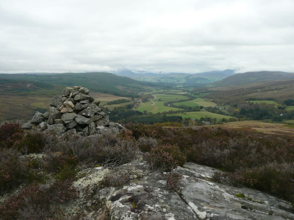 ChallengingStruan Point Walk4 km · 1.8 hr · 2.1 km awayA short, steep moorland climb to views over Strathgarry.
 ChallengingScottish National Trail: Blair Atholl to Kingussie71.2 km · 19.5 hr · 5 km awayThree remote days link river fords, a bothy, and the Insh Marshes.
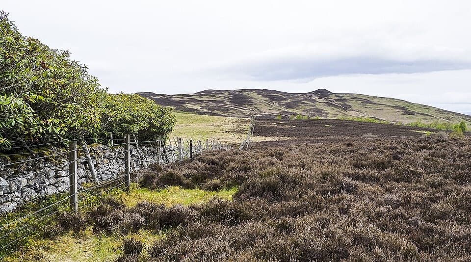 ChallengingTulach Viewpoint Walk4.8 km · 2 hr · 5.3 km awayA steep climb from birch woods to a Blair Atholl viewpoint.
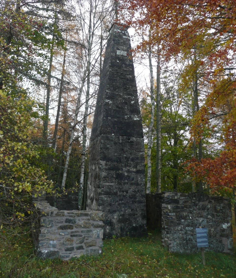 EasyBalvenie Pillar Path1.6 km · 45 min · 5.3 km awayA short loop to the pillar marking the estate's last public hanging.
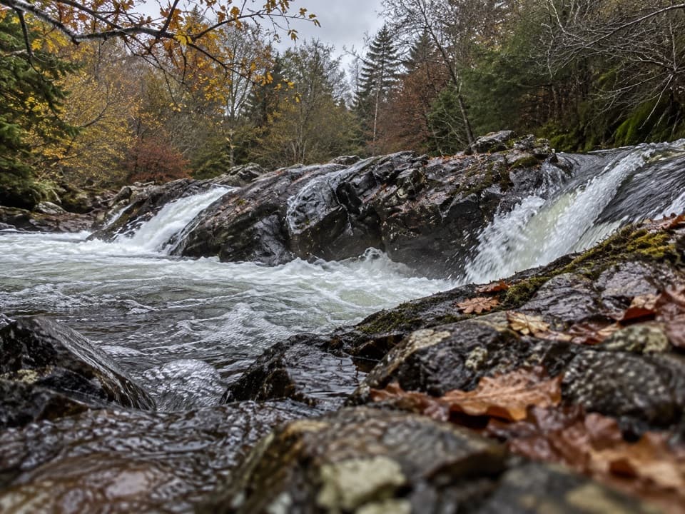 ModerateGlen Tilt Circuit16.1 km · 4.5 hr · 5.3 km awayA river-gorge circuit with old settlements and a six-mile shortcut.
 ModerateFarm and Forest Walk6.4 km · 2.3 hr · 5.3 km awayGreen arrows lead to a high view up Glen Tilt
 ModerateGlen Banvie and Bruar Circuit16.1 km · 4.5 hr · 5.3 km awayMoorland, pine woods and a waterfall detour reward a long day out.
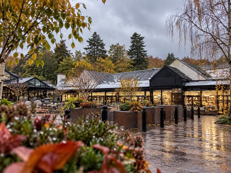 Store · At the trailheadHouse of BruarA country-store and food stop beside the Falls of Bruar.Sight · 0.5 km awayFalls of BruarA wooded gorge walk with cascades, old bridges and a rock arch
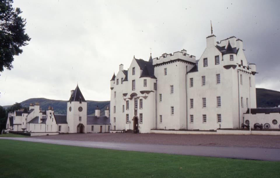 Sight · 4.5 km awayBlair Castle & GardensFurnished rooms, formal gardens and 750 years of castle history
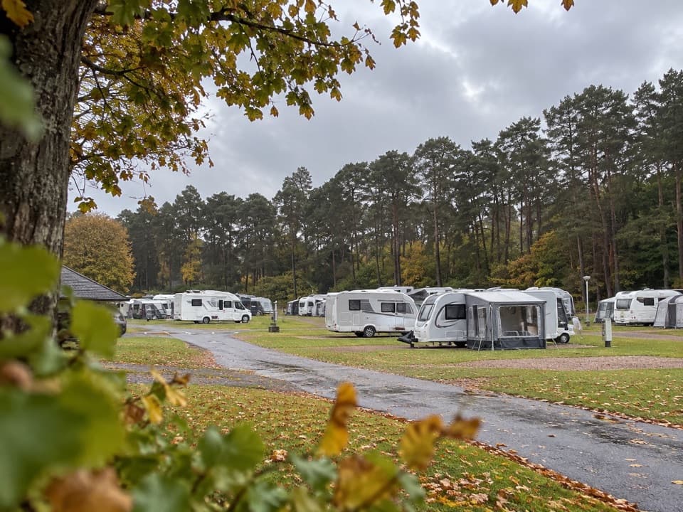 Campground · 5.3 km awayBlair Castle Caravan ParkA practical base for castle gardens and woodland walks
 Sight · 5.4 km awayAtholl Country Life MuseumSee the moved post office and a doctor’s winter-call sleigh.
 Visitor center · 5.4 km awayBlair Atholl Information CentreA quick orientation stop, with local history and family activities.
Parkwolf’s Cairngorms ranking

The audio tour guide for the drive, plus offline maps, trails, and wildlife heatmaps for when the signal drops.





