Pros & cons
PROS
- Well-marked route between Squaw Flat and Peekaboo Campground
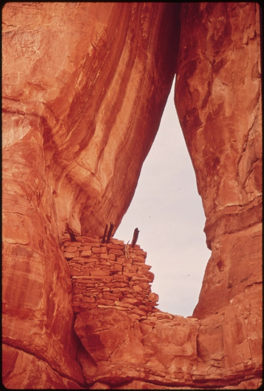
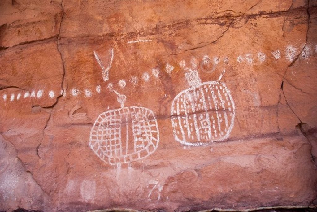
- Ancient rock art and granaries near the end
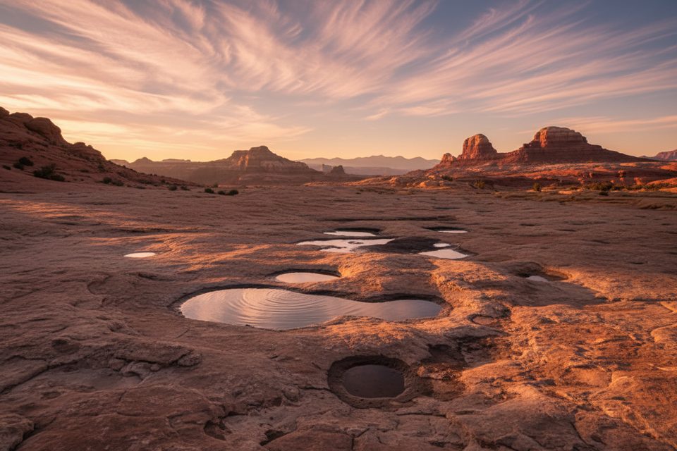
- Big views across the Needles to the La Sal Mountains
CONS
- Long day with sustained sun exposure and little shade
- Slickrock benches and ups/downs add effort to the mileage
Overview
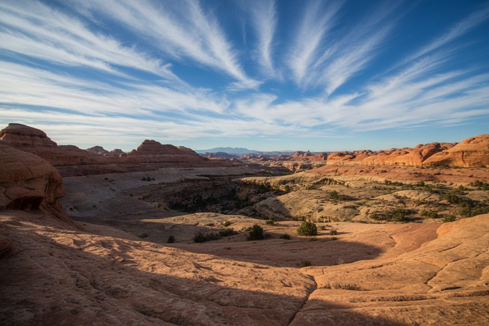
Peekaboo Trail strings together classic Needles scenery—slickrock benches, skinny ridges, and wide-open vistas—without the shoulder-to-shoulder crowds you’ll find in the district’s core. It starts at Squaw Flat Campground and runs to the backcountry Peekaboo Campground, passing through Squaw Canyon and Lost Canyon before climbing onto high red benches with sweeping views toward the La Sal Mountains.
Why it’s special
- Rock art and ancient granaries sit near the far end, adding real sense of place to the scenery.
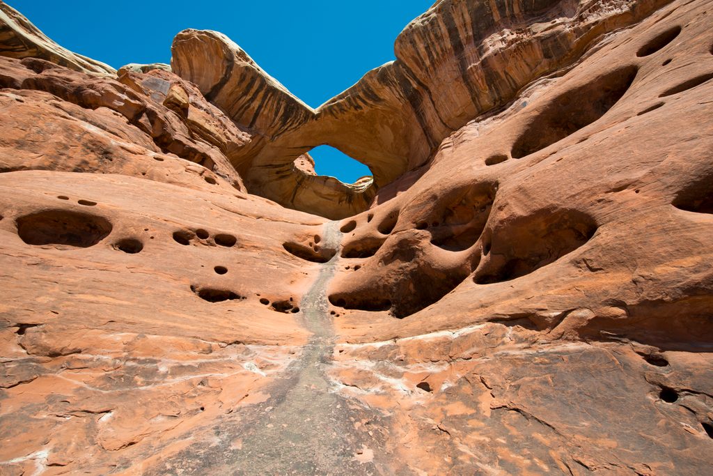
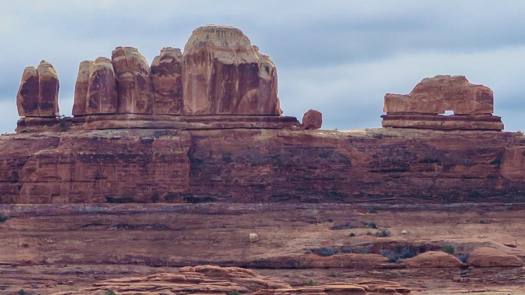
- A small “window” arch (the Peekaboo Window) is a fun, photogenic waypoint.
- Tafoni—honeycomb-like weathering patterns—pockmark the sandstone along the route.
What the hike feels like
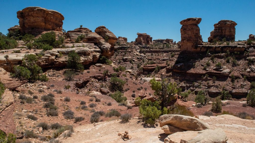
Expect a mix of sandy flats, cairned slickrock, and undulating benches. It’s not a technical route, but the ups and downs, exposure to sun, and slickrock sections make it a full-value outing. The path is well-marked and easy to follow, especially across rock where cairns guide you.
History & geology notes
Human presence here stretches back thousands of years; the pictographs and granaries you’ll see near Peekaboo are tangible reminders. Geologically, the route showcases layered red-and-white sandstones carved into fins, benches, a small window arch, and tafoni textures.
Planning essentials
- Start at Squaw Flat Campground; this is the standard access for Peekaboo. The trail connects to a larger network, so bring a current Needles map.
- There’s no reliable water along the route—carry what you need.
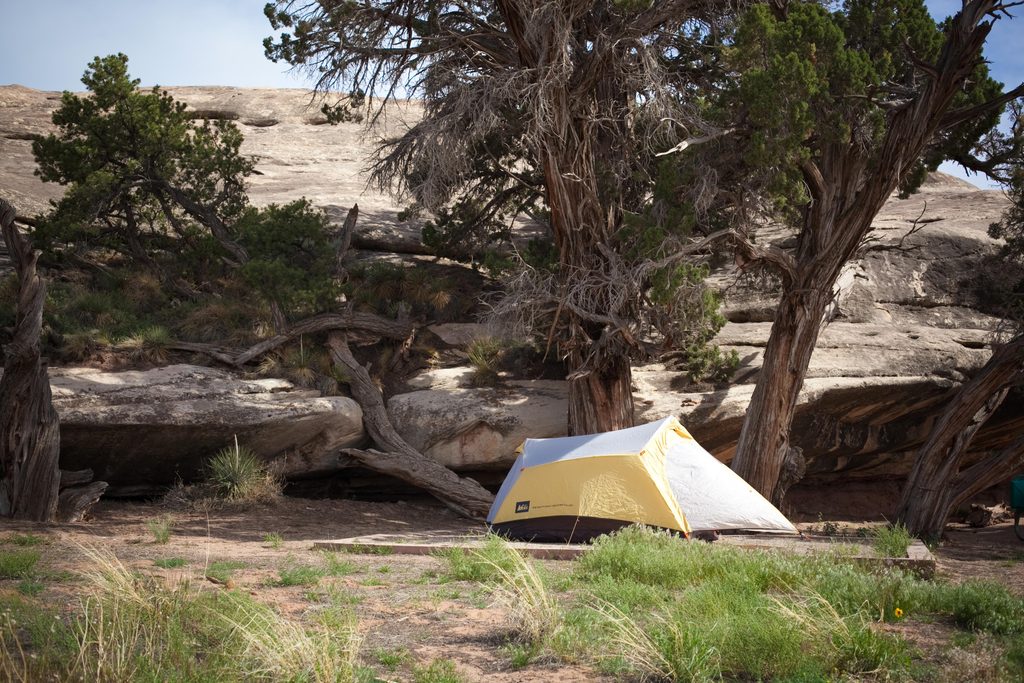
- Backcountry camping at Peekaboo Springs is by permit at designated sites.
- Motor vehicles and bikes must stay on designated roads throughout the district.
Best time to visit
Fall through spring offer the best temperatures. In summer, heat and full exposure can turn this into a sufferfest—start very early if you go. For photos, early and late light flatter the benches and the arch; midday sun is harsh. Weekdays typically feel quieter than weekends.
Where it is
38.1217, -109.7769Tips for Peekaboo
- 01Begin at Squaw Flat Campground and follow cairns across slickrock.
- 02Carry ample water and sun protection; there’s no reliable water on route.
- 03Build your route with a current Needles trail map—junctions abound.
- 04Treat rock art with care: look, photograph, but never touch or chalk.
- 05Expect little to no cell service; download maps before you go.
Amenities
Near Peekaboo
All places →All trails →
2 mi awayWooden Shoe Arch OverlookQuick roadside view of a shoe-shaped arch on the Needles drivePullout · Parking
2.1 mi awayWooden Shoe Canyon TrailClassic Needles loop of slickrock, ladders, and quiet riparian canyonChallenging · 8.7 mi · 5 hr
2.1 mi awaySquaw Canyon to Lost Canyon LoopTwo canyons, ladders, and slickrock—classic Needles sampler loop.Moderate · 6.5 mi · 4.5 hr
2.1 mi awayBig Spring Canyon to Squaw Canyon LoopClassic Needles loop with slickrock, an airy saddle, and big viewsModerate · 7.2 mi · 4 hr
2.1 mi awaySquaw Canyon and Big Spring Canyon LoopClassic Needles loop of sand, slickrock, and big views between canyonsModerate · 7.5 mi · 5 hr
2.2 mi awayPaul Bunyan’s PottyA giant pothole arch with solitude and sweeping viewsScenic Viewpoint
2.3 mi awayThe Needles CampgroundRemote red-rock basecamp with dark skies and trailheads at your doorCampground · Restroom
2.6 mi awayKeyhole RuinsRemote cliff dwellings with keyhole openings, viewed from afar