
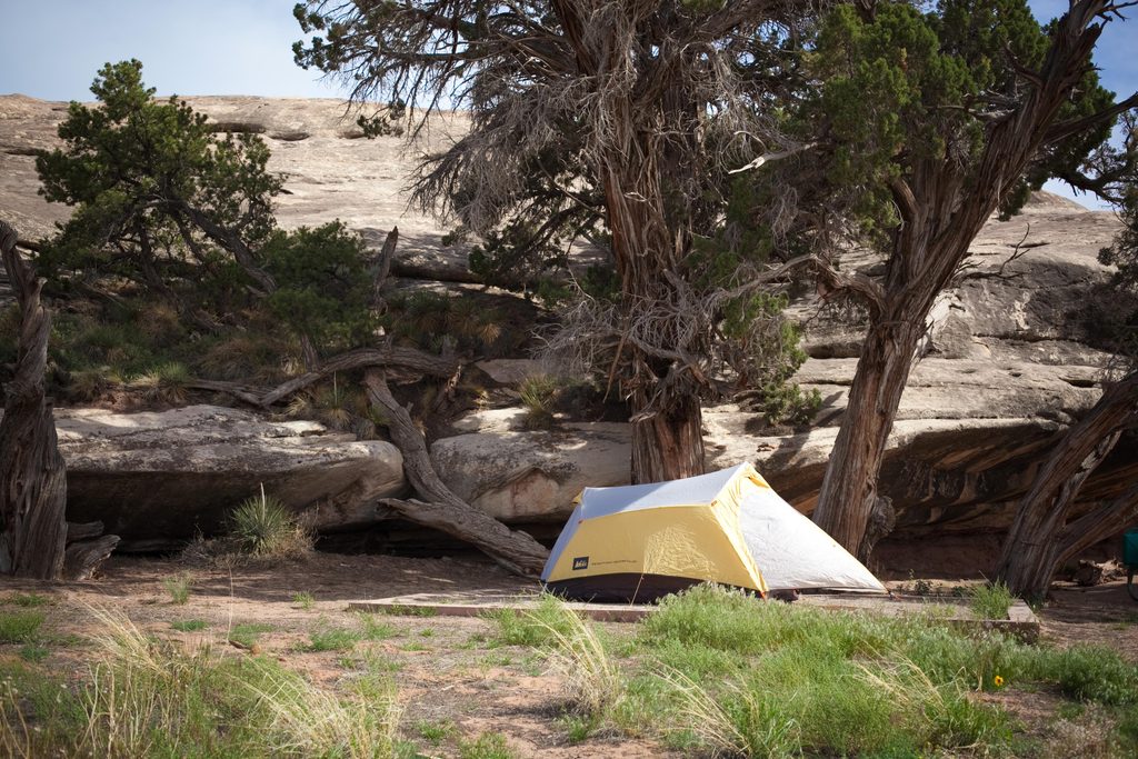
Place · 0.4 mi away
Challenging
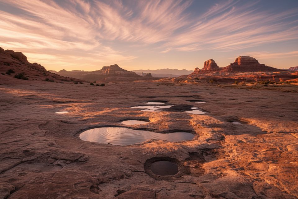
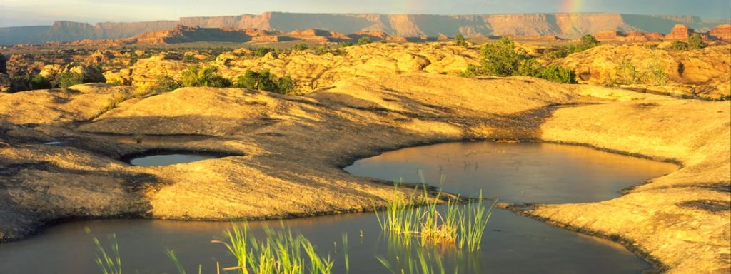
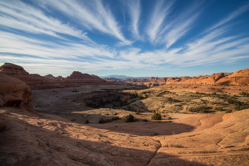
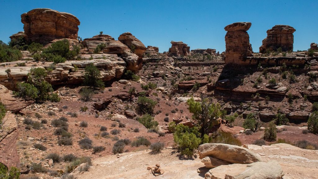
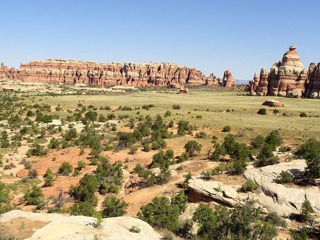
If you’re chasing the Needles District look—colorful Cedar Mesa Sandstone spires, big sky, and sculpted slickrock—this loop delivers it without the usual crowds. The Wooden Shoe Canyon to Lost Canyon Loop runs about 8.7 miles total, starting near the Needles Campground/Salt Flat trailhead. Expect a stout desert outing with real variety: open, sun‑blasted benches, narrow canyon bottoms with riparian vegetation, and frequent up‑and‑down on rock steps.
The first mile leaves the campground area across exposed desert before dropping into Wooden Shoe Canyon. From there, you’ll weave along slickrock benches and sandy stretches, then continue into the greener, wetter confines of Lost Canyon. Terrain is never technical, but it is physical: uneven rock, ledges, and a short ladder on the Lost Canyon side keep it engaging. While the signed “overall elevation change” is modest (about 404 feet), the cumulative gain is much higher thanks to constant undulations—your legs will notice.
Navigation isn’t hard if you’re paying attention, but junctions with other Needles routes can trip people up, and older maps may still use the canyon’s former name. Bring a good map, know your turns, and budget extra time if you like detours—this loop connects to some of the district’s marquee areas via side trails.
This is quintessential Needles geology: Cedar Mesa Sandstone carved into spires, fins, and terraced benches. In the canyon bottoms, riparian pockets draw wildlife—especially birds—and offer a welcome contrast to the sparse uplands. After storms or in wetter periods, Lost Canyon can be very muddy and brushy.
Spring and fall are the sweet spot—cool mornings, manageable highs, and reliable daylight. Summer is a sufferfest here: little shade, radiant heat off the rock, and real dehydration risk. In winter, expect snow or ice on shaded slickrock; traction can be necessary. Start early for cooler temps and calmer conditions, and for the best light on the sandstone.
Is it worth it? Absolutely—if you’re prepared. This is a less‑traveled, full‑value Needles tour with real solitude and scenery. If you want something even more dramatic but longer, use the network junctions to craft a bigger day toward the district’s headline destinations.
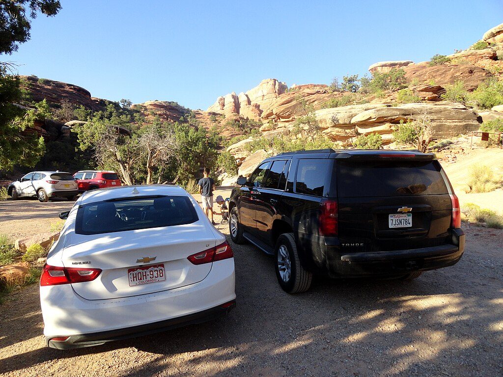
Park at the main Needles/Salt Flat trailhead by Needles Campground; there is ample parking and restrooms.
No reliable water; carry at least 1 liter per person per hour. Expect slickrock ledges, uneven footing, and a ladder. Steep rock can be dangerous when wet or icy. Navigation can be tricky at signed junctions; older maps may use the former canyon name.
Place · 0.4 mi away
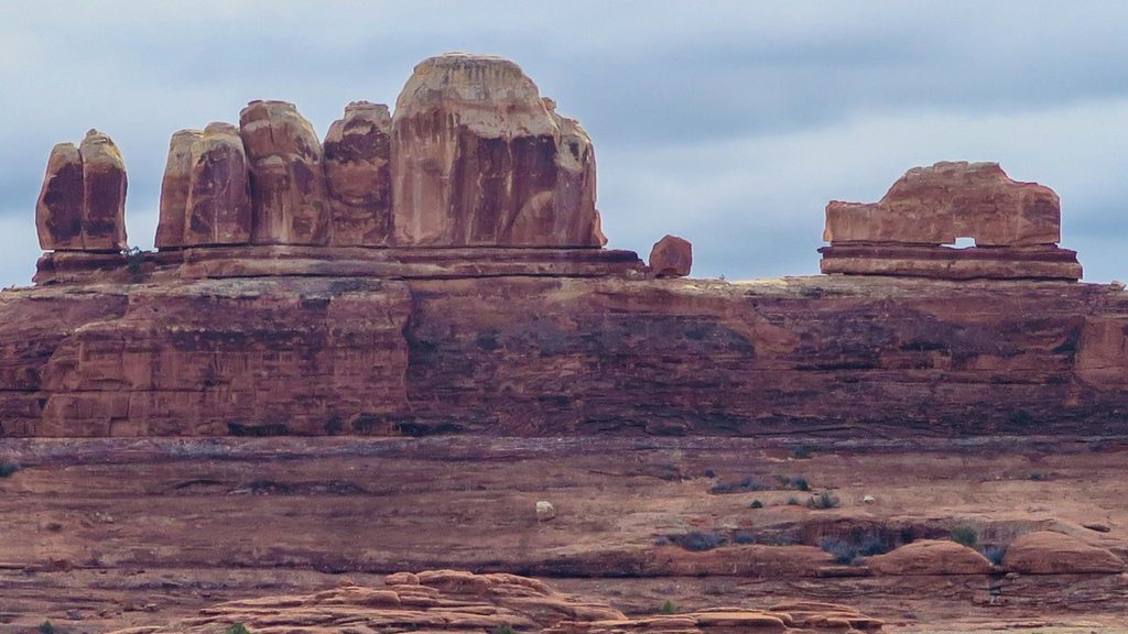
Place · 1.3 mi away
Place · 1.6 mi away
Place · 2 mi away
Moderate · 0 mi away
Moderate · 0 mi away
Moderate · 0 mi away
Challenging · 1.3 mi away

Parkwolf Tour Guide
