
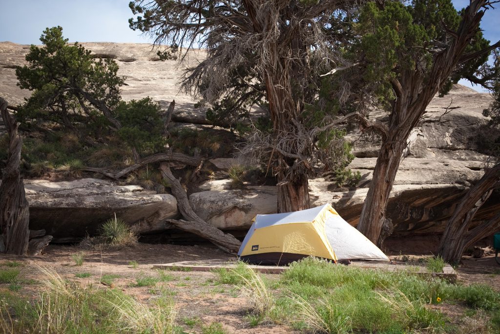
Place · 0.4 mi away
Moderate
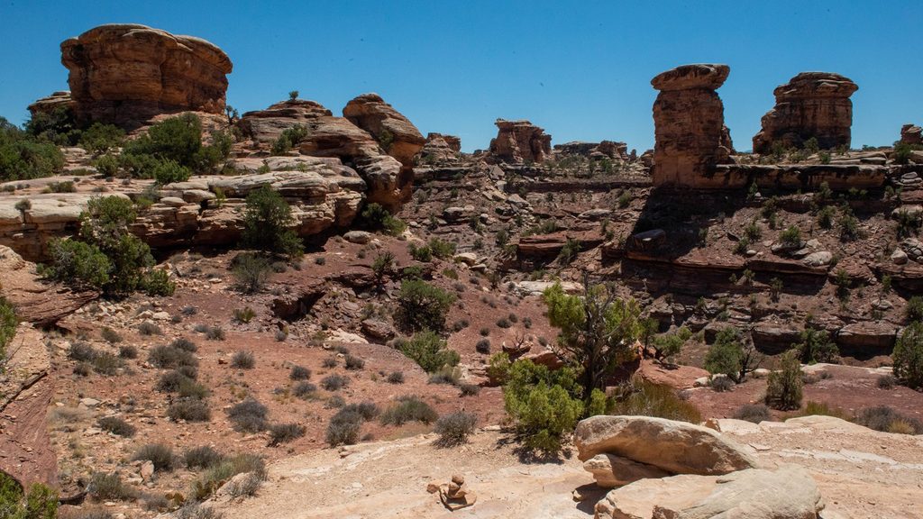
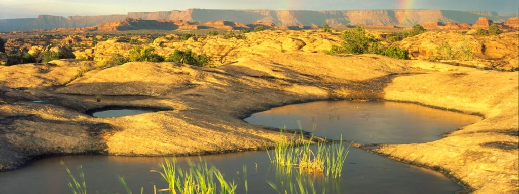
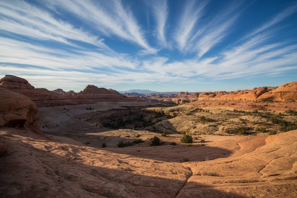
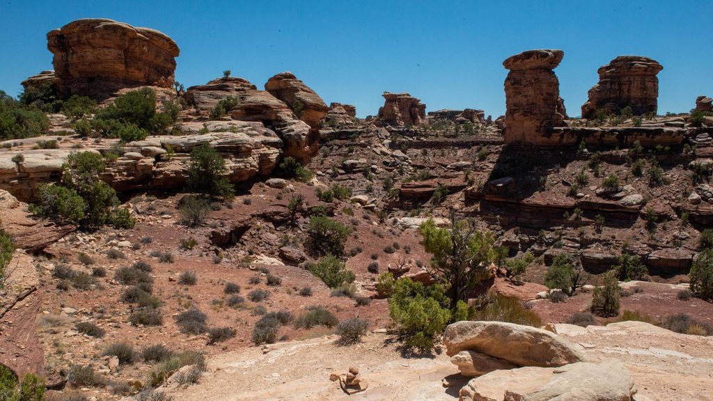
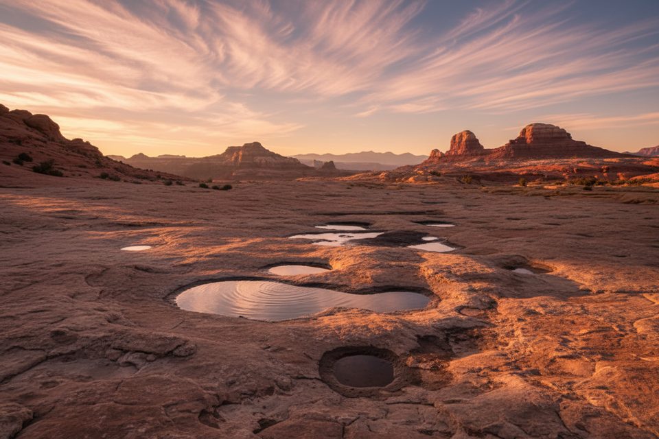
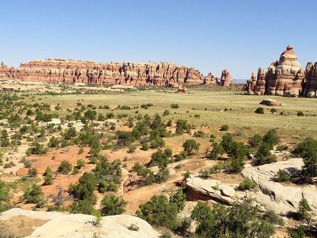
This is a 7.2-mile loop linking Big Spring Canyon and Squaw Canyon from the Squaw Flat Trailhead (A loop) by the Needles Campground. It’s a true Needles sampler: red-and-white Cedar Mesa Sandstone, slickrock benches, sculpted spires, and canyon bottoms lined with cottonwoods in wetter pockets. The loop can be hiked in either direction and is well-cairned, but you still need to pay attention across open slickrock.
Expect easy canyon-bottom walking to start, then a steeper, hands-needed push onto a high slickrock saddle that connects the two drainages. The saddle is short but exposed in spots and can feel airy if you’re sensitive to heights. Past the saddle you’ll drop into the second canyon to close the loop. Surfaces vary from sandy wash to frictiony sandstone slabs with occasional scrambles. Navigation is straightforward if you stay vigilant for cairns.
You’ll move between two contrasting canyons—Squaw is broader and more open, Big Spring has alternating enclosed and open sections—framed by the Needles’ classic fins, monoliths, and benches. From the high saddle you get panoramic views across the Needles formations, with long sightlines that make this loop feel bigger than its mileage. Look for pinyon-juniper on the drier slopes and greener vegetation in canyon bottoms where shallow groundwater lingers.
Moderately strenuous overall due to the slickrock climbs/descents, minor exposure, and route-finding across rock. If you enjoy a little scrambling and big scenery without committing to an all-day sufferfest, this is a strong pick. If exposure makes your palms sweat, or if you dislike route-finding on slickrock, consider a mellower alternative.
Treat this as a dry hike and carry what you need; do not count on finding water. Traffic is typically lighter than front-country hotspots, and outside peak times you may find real quiet in these canyons. There are designated backcountry sites in the area; permits are required if you plan to overnight.
Spring and fall are best for temperatures and manageable sun exposure. Summer heat can be brutal on open slickrock, and winter can leave icy patches on shaded slabs. Start early for cooler temps and better light—mornings favor soft glow on the sandstone and give you time to linger at the saddle viewpoint.
Park at the signed Squaw Flat Trailhead (A loop) next to the Needles Campground; the loop begins directly from this trailhead.
Open slickrock means sun and heat exposure; carry ample water and watch for cairns to stay on route. Expect short, hands-needed scrambles and a brief exposed traverse on the saddle. In winter, shaded slickrock can ice over. Standard NPS regulations apply; see [nps.gov](https://www.nps.gov/index.htm) and the general regulations overview at [faolex.fao.org](https://faolex.fao.org/docs/pdf/us218317.pdf).
Place · 0.4 mi away
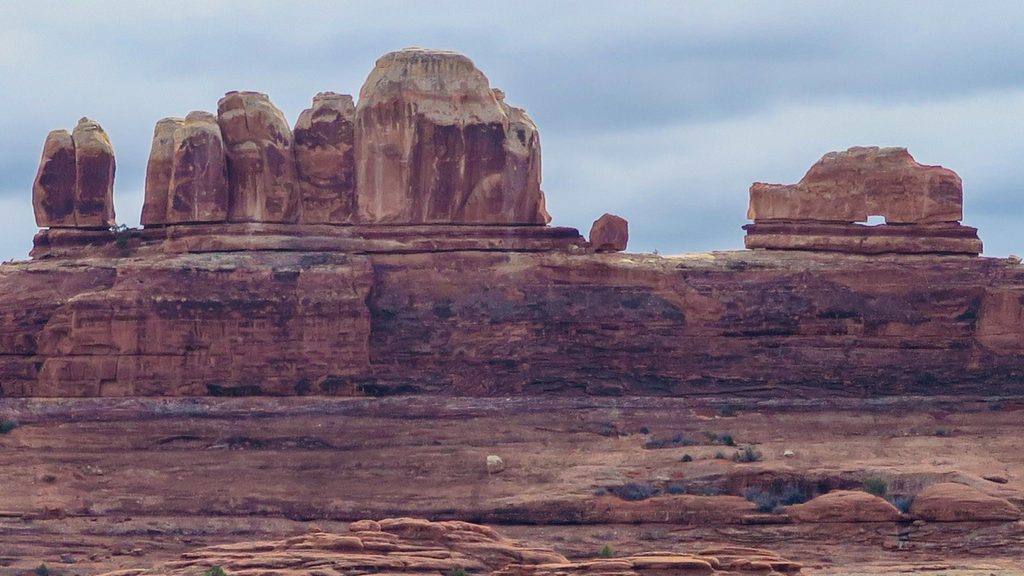
Place · 1.3 mi away
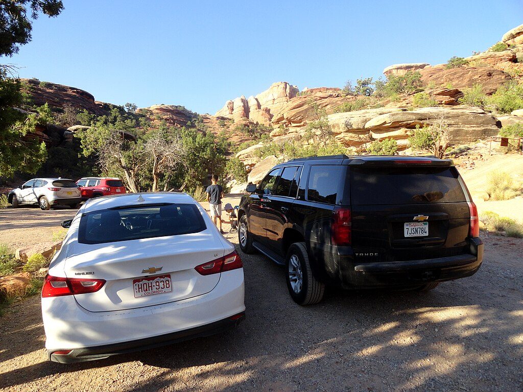
Place · 1.6 mi away
Place · 2 mi away
Moderate · 0 mi away
Moderate · 0 mi away
Challenging · 0 mi away
Challenging · 1.3 mi away

Parkwolf Tour Guide
