
Place · 0.4 mi away
Moderate
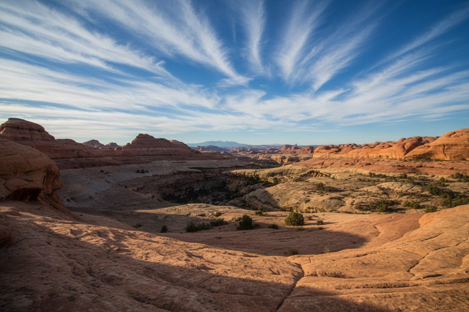
This moderate desert loop links the wide, dry expanses of Squaw Canyon with the narrower, greener confines of Lost Canyon—an excellent sampler of the Needles District’s benches, fins, and spires. It’s a true loop with a short connector on the Peekaboo Trail from the Squaw Flat Trailhead near the Needles Campground. The standard distance is about 6.5 miles total, though mileage can vary a bit with start/finish options and small spurs. Expect roughly 700–800 feet of cumulative gain spread across canyon bottoms, slickrock benches, and a short laddered pass.
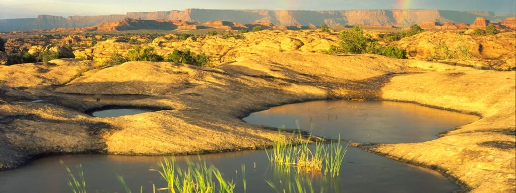
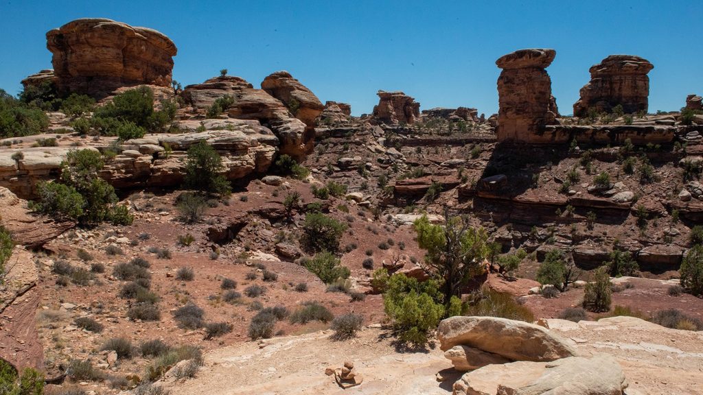
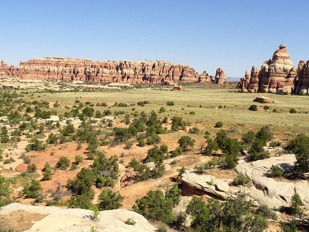
Squaw Canyon feels open and airy: broad sandy wash, scattered junipers, and colorful walls capped with classic Needles formations. Lost Canyon flips the script—narrower, deeper, and often more vegetated, with a higher chance of seasonal surface water and pockets of shade. Between them, slickrock benches deliver wide views across the Needles and out to distant ranges. It’s a landscape carved mostly from Cedar Mesa Sandstone, where pale dune-laid layers meet red, river-deposited beds—look for the striking color contrasts and rounded slickrock underfoot.
The route is well marked by cairns, especially across slickrock, but you’ll still want to stay alert at junctions—Lost Canyon has a few turns that are easy to stroll past if you’re gawking at the walls. Expect a short ladder section and brief hands-on moves, but no technical climbing. Under dry conditions it’s a steady, approachable outing; after storms, washes can be muddy and Lost Canyon may hold flowing water.
Carry all you need; water in Lost Canyon is highly variable and should be treated if collected. Desert lizards and birds of prey are common sightings, especially near any water. Compared to the district’s big-name routes, this loop sees low-to-moderate use, which helps the scenery feel even bigger.
Spring and fall bring the sweet spot of cooler temps and your best odds of seeing water in Lost Canyon. Winter can be serene but may put ice on slickrock. Summer is punishingly hot and exposed in Squaw Canyon—start very early if you go then. Sunrise and late-afternoon light accentuate the red-and-white sandstone contrast for photographers.
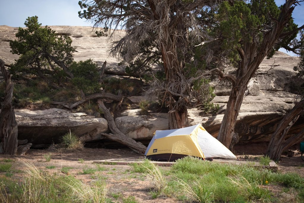
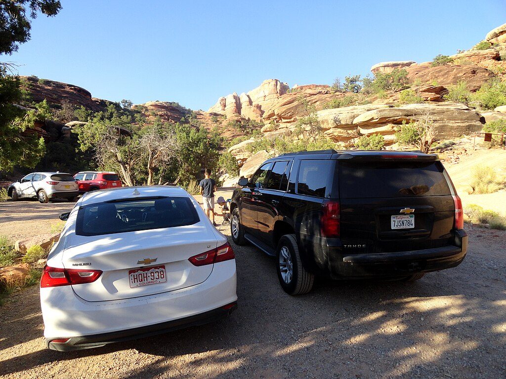
Park at the Squaw Flat Trailhead by the Needles Campground. Follow signs for the Peekaboo Trail to reach the loop; travel either direction depending on whether you want the open, dry walking first (Squaw) or the shady, lusher stretch early (Lost). No day-use permit is needed, but designated backcountry campsites exist if you choose to make it an overnight—permits required for that. Pets are not allowed on this trail.
Yes—if you want one hike that captures the Needles’ variety without committing to an ultra-long day. The mix of canyon ambiance, big views from slickrock benches, and a touch of laddered fun makes this loop a memorable, balanced outing.
Park at the Squaw Flat Trailhead near the Needles Campground; follow signs for the Peekaboo Trail to reach the loop.
Heat and exposure are significant in summer; follow cairns on slickrock; expect a short ladder section; avoid canyons during/after heavy rain due to mud and possible flash flooding; water is unreliable and must be treated.
Place · 0.4 mi away
Place · 1.3 mi away
Place · 1.6 mi away
Place · 2 mi away
Moderate · 0 mi away
Moderate · 0 mi away
Challenging · 0 mi away
Challenging · 1.3 mi away

Parkwolf Tour Guide
