Pros & cons
PROS
- Quick 0.3-mile loop to a well-preserved Ancestral Puebloan granary
- Easy, family-friendly interpretive walk with brochure and signs
CONS
- Little shade; can be very hot midday
- No restrooms at the trailhead
Overview
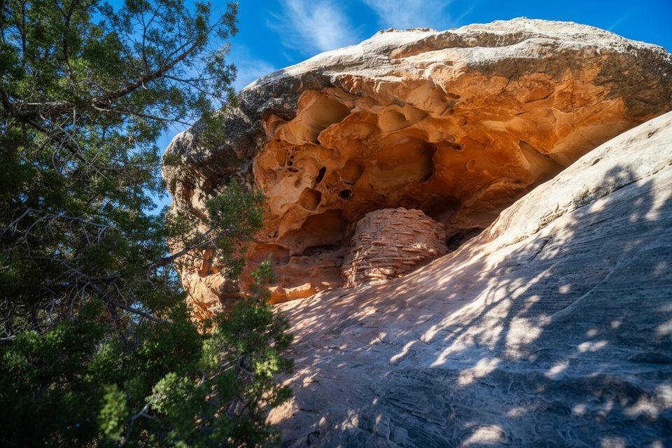
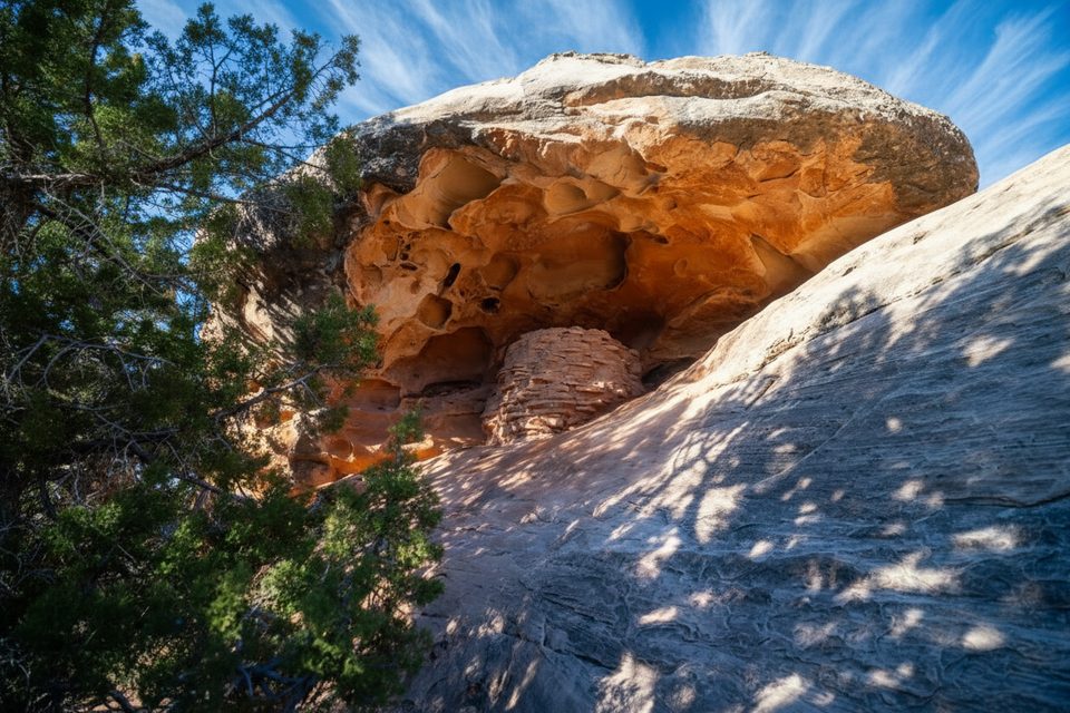
Formerly called Roadside Ruin, the Stone Storehouse Trail is a short, mostly flat 0.3-mile loop in the Needles District. It’s an easy, in-and-out stop right off the main park road, near the district’s visitor center. The star of the walk is a remarkably well-preserved granary tucked beneath a sandstone alcove, built roughly 700 years ago by Ancestral Puebloan people. The name was updated in response to tribal input, dropping the word “ruin” to reflect that these places are living cultural sites, not ruins.
What You’ll See
- A compact stone granary built into an alcove above a wash—unusual in that it appears to have been filled from the top rather than a front door.
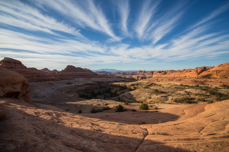
- Classic Needles scenery: sagebrush flats dotted with juniper and open views.
- Self-guided interpretive stops that explain the site’s history and the desert plant community.
Why It’s Worth Your Time
It’s one of the easiest ways in the district to see an authentic archeological feature without a big hike. Ideal as a leg-stretcher on your way in or out of the Needles, and a great introduction to the human history of the area.
Wildlife
Expect quick glimpses of lizards, birds, and small mammals, especially in cooler hours. Midday heat and the exposed route mean less activity during the hottest parts of the day.
Planning Tips
- Pick up and return the interpretive brochure at the trailhead box; walk counter-clockwise to follow the sequence.
- Go early or late for cooler temps and softer light; there’s little shade.
- Don’t touch or climb on the granary—preservation matters.
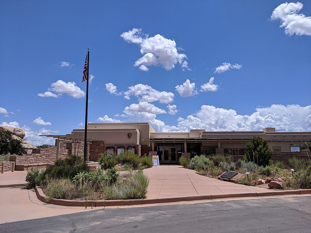
- No cell service; bring water even for this short stroll. The nearest restrooms and water are at the Needles Visitor Center.
Best Time to Visit
Early morning or late afternoon for comfort and better photos. It’s a quick stop that rarely feels crowded, but summer midday heat can make even a short loop feel long.
Where it is
38.1635, -109.7615Tips for Roadside Ruin
- 01Walk the loop counter-clockwise to match the brochure stops.
- 02Grab the interpretive brochure at the trailhead and return it after.
- 03Go early or late; the route is exposed and bakes at midday.
- 04Use the Needles Visitor Center for restrooms and water before you start.
- 05Please don’t touch or enter the granary—photograph from the trail.
Amenities
Near Roadside Ruin
All places →All trails →
0.1 mi awayRoadside Ruin TrailQuick loop to an Ancestral Puebloan granary near the visitor centerEasy · 0.3 mi · 20 min
0.3 mi awayThe Needles Visitor CenterPermits, maps, and intel for the quiet Needles backcountryVisitor Center · Exhibit
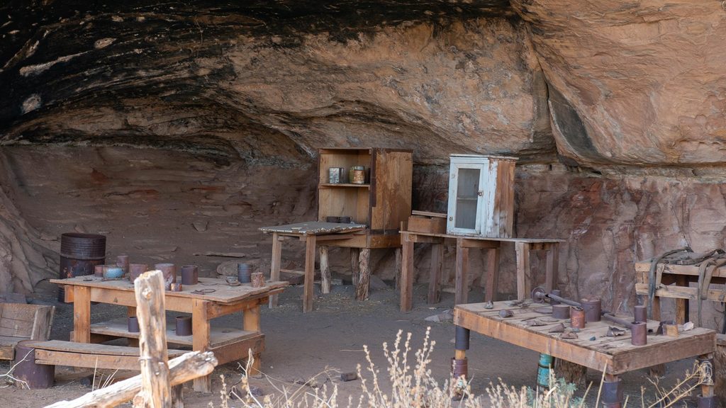
0.6 mi awayCave SpringShort loop with ladders, cowboy camp, rock art, and a green alcoveTrailhead · Parking
0.7 mi awayCave Spring TrailShort loop with ladders, rock art, and a shady desert springEasy · 0.6 mi · 45 min
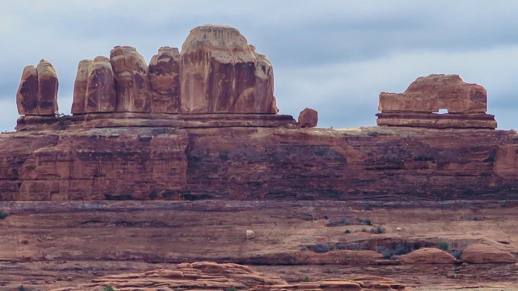
1.4 mi awayWooden Shoe Arch OverlookQuick roadside view of a shoe-shaped arch on the Needles drivePullout · Parking
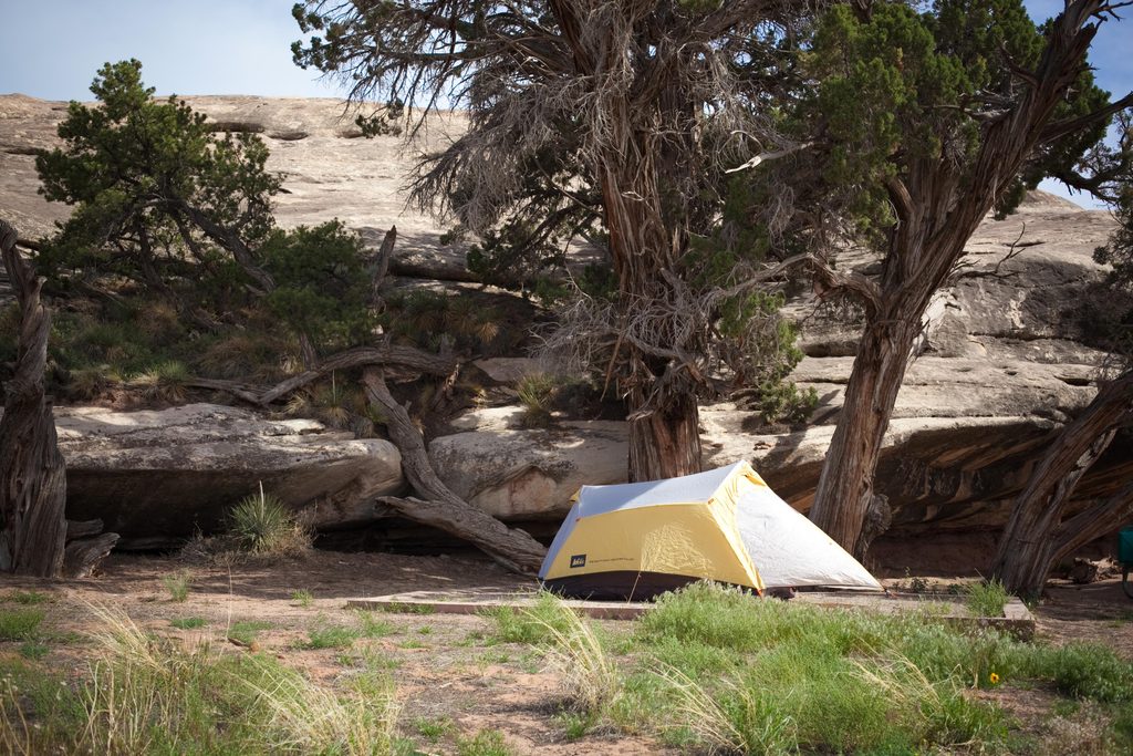
2.4 mi awayThe Needles CampgroundRemote red-rock basecamp with dark skies and trailheads at your doorCampground · Restroom
2.5 mi awayPothole Point TrailShort slickrock loop with living potholes and big Needles viewsEasy · 0.6 mi · 30 min
2.7 mi awaySquaw Canyon to Lost Canyon LoopTwo canyons, ladders, and slickrock—classic Needles sampler loop.Moderate · 6.5 mi · 4.5 hr