Parking
Use the Pothole Point Parking Area on the west side of the paved Needles road, about 5.1 miles from the Needles entrance station. Follow the cairns from the parking area.
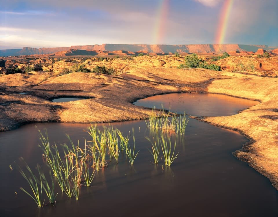
Canyonlands National Park, UT
A short cairn-marked loop among rain-fed pothole gardens.
Overview
Map & elevation
Plan your hike

The highest, rockiest slopes around here are a summer buffet for grizzly bears.
Canyonlands Tour Guide
Parkwolf is a GPS audio tour guide for Canyonlands National Park. As you drive, it chimes in with what’s ahead: hidden gems, upcoming stops, history, geology, and wildlife, right through your car’s speakers.
See the Canyonlands audio tourRecorded for this trailhead
Pothole Point“Up ahead is the Pothole Point trailhead, for a short walk among rain-fed hollows in the sandstone. Allow about forty-five minutes for the six-tenths-of-a-mile loop over uneven rock and steps.”
Plays as you drive up to this trailhead in the Parkwolf Canyonlands Tour Guide.
More stories near here in the app
“Fantastic app with many points of information… It’s great to just turn on while you’re driving and it gives you an audio tour of the national Park. We love it!!!!”


Trail guide
Pothole Point is a 0.6-mile lollipop loop in The Needles, usually about 45 minutes. It crosses open slickrock to shallow potholes and a view of the Needles. The full loop is listed at 0.6 mile, though mapped measurements can land closer to 0.5; follow the cairns around the complete loop.
It is an easy, short hike, but not a smooth stroll. The route rises and dips over a rocky hill, with uneven rock and stone steps. The cairns are the trail across bare stone. You can walk it either way; watch for the spur that climbs to the boulder tops.
Rainwater collects in hollows in the sandstone. Over time, slightly acidic water wears the rock, and windblown soil and organic matter gather in the depressions. That creates tiny, short-lived communities of plants and animals. After rain, some pools may hold small shrimp, worms or snails; seeing them depends on timing and the individual pool.
These are fragile ecosystems. Stay on the route and walk around the potholes; don't put fingers or feet in them. The living soil crust around the slickrock is also easy to damage.
The short spur reaches the tops of large boulders and opens views in both directions, including the Needles. It is the clearest place on this compact walk to take in the wider landscape; the pools and miniature plant communities are the closer details along the loop.
The Pothole Point Parking Area is on the west side of the paved Needles road, about 5.1 miles from the Needles entrance station. Pets are not allowed on hiking trails in the park. Water sources in The Needles are unreliable, so bring what you need. Snow and ice can occur in winter; the park recommends traction devices.
Wildlife
 48 sightingsBighorn SheepMost seen around 7 AMSighting map
 47 sightingsMule DeerMost seen around 7 AMSighting map
 12 sightingsCoyoteMost seen around 7 PMSighting map
 30 sightingsWestern RattlesnakeMost seen around 7 PMSighting map
 18 sightingsTurkey VultureMost seen around 11 AMSighting map
 18 sightingsWild TurkeyMost seen around 7 AMSighting map
Sighting maps show where each species has been reported across Canyonlands. Wildlife moves, so no sighting is guaranteed.
Keep exploring
 ModerateSlickrock Trail2.4 mi · 2 hr · 0.6 mi awayFour canyon overlooks on an open slickrock loop marked with cairns.
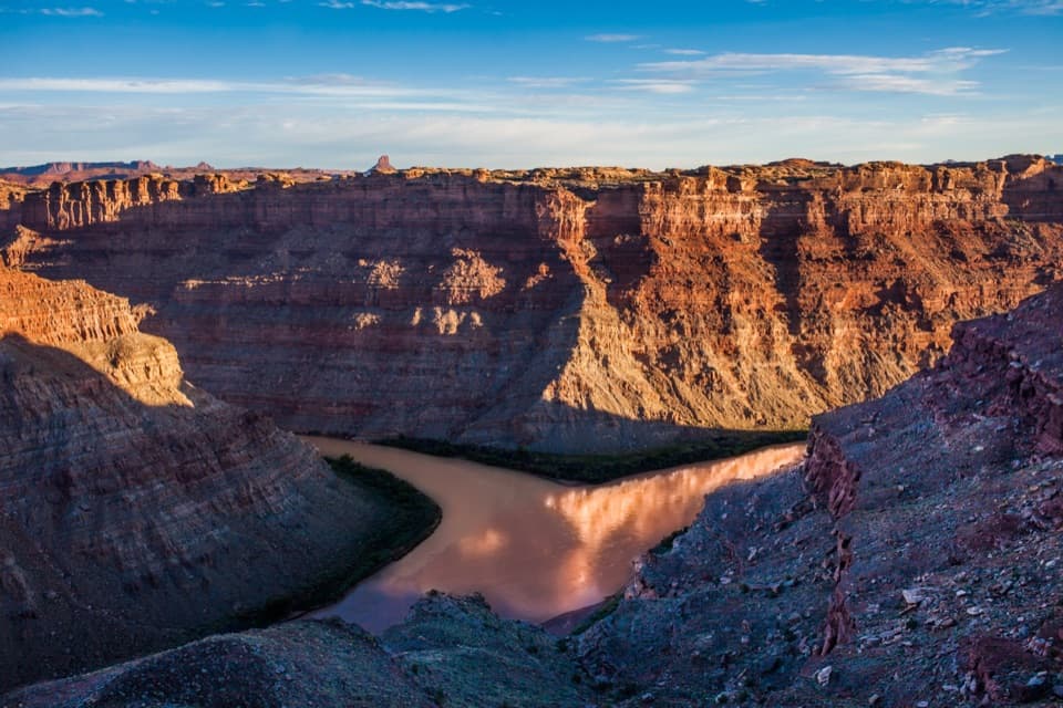 ChallengingConfluence Overlook Trail11 mi · 5.5 hr · 0.8 mi awayA strenuous day hike to the Green–Colorado rivers’ dramatic meeting point.
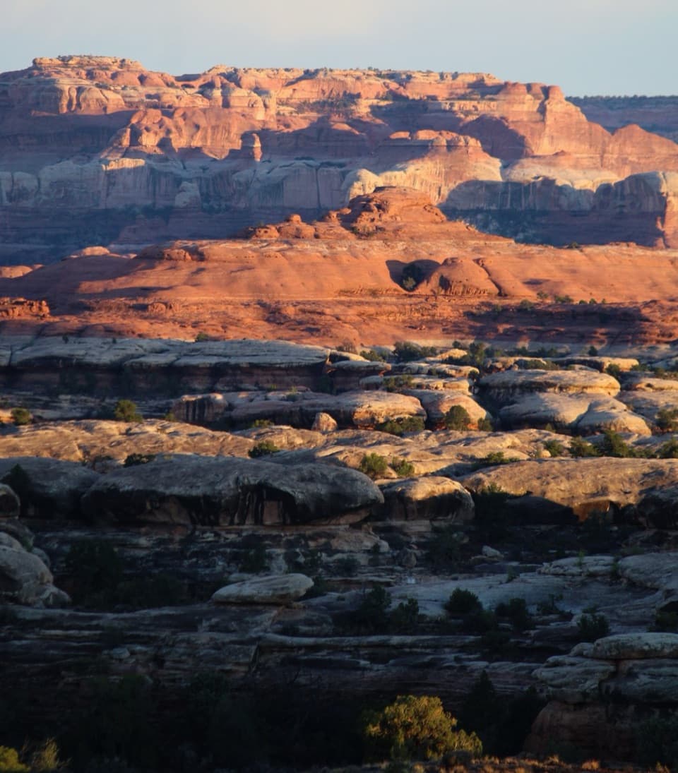 ChallengingWooden Shoe Canyon to Lost Canyon Loop Trail8.7 mi · 5.5 hr · 1.9 mi awayTwo canyon floors, slickrock climbs, and one ladder in a rugged loop.
 ChallengingPeekaboo Trail10.8 mi · 6 hr · 1.9 mi awayTwo ladders and high slickrock make this a serious Needles day hike.
 ModerateBig Spring to Wooden Shoe Canyon Loop Trail7.5 mi · 3.5 hr · 1.9 mi awayTwo canyons, one high saddle, and a rougher route between them.
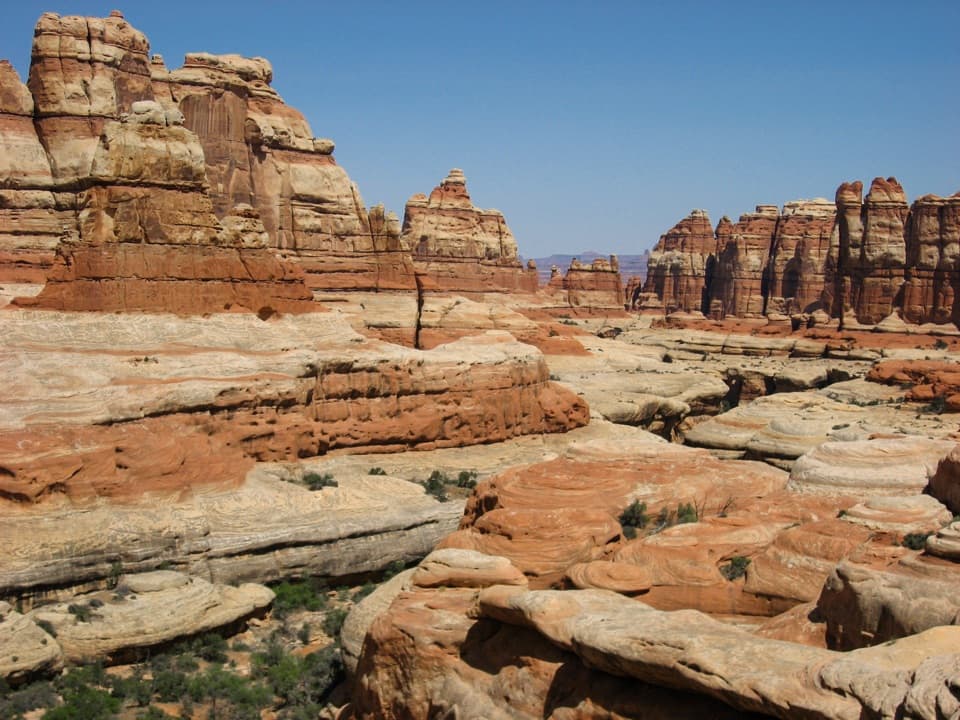 ChallengingBig Spring Canyon to Elephant Canyon Loop Trail10.5 mi · 5 hr · 1.9 mi awayTwo ladders cross a slickrock pass between Big Spring and Elephant.
 ChallengingChesler Park Loop and Joint Trail10.7 mi · 6 hr · 2.3 mi awayA spire-ringed meadow and narrow rock passages reward a full-day loop.
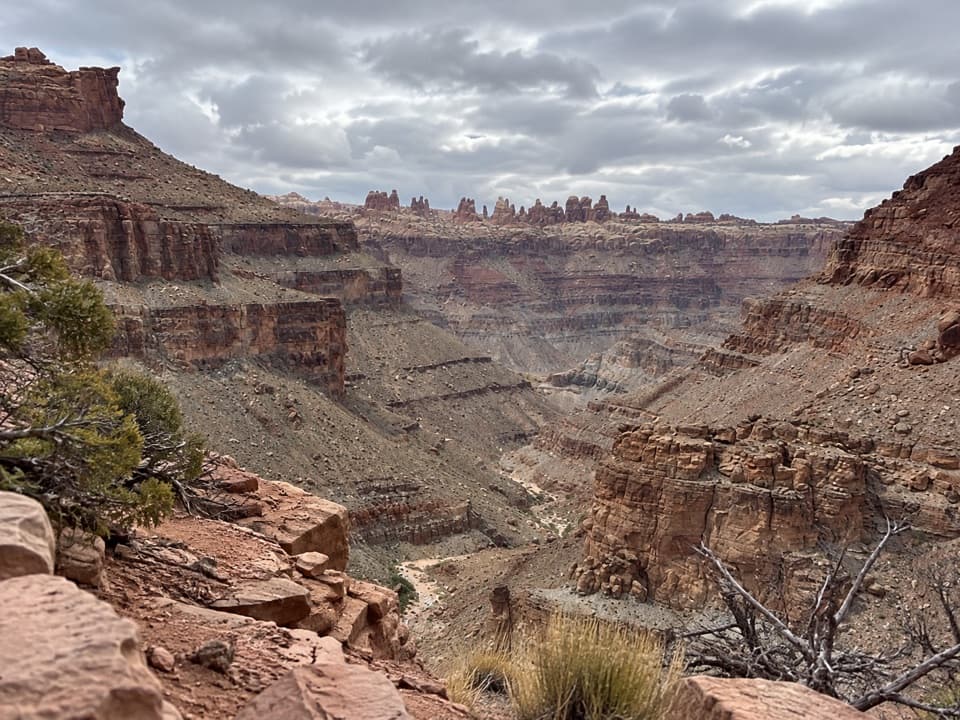 ChallengingLower Red Lake Canyon Trail18.8 mi · 14 hr · 2.3 mi awayA strenuous backcountry descent to the Colorado and back
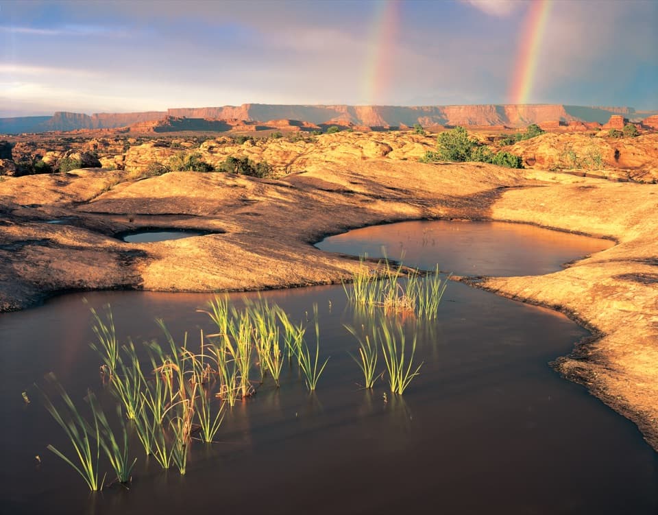 Sight · 0.1 mi awayPothole PointRain-fed pools bring a small world to life on bare sandstone.
 Picnic area · 0.4 mi awayNeedles Scenic Drive Picnic AreaA shaded stop where rain brings tiny desert creatures to life.
 Sight · 0.8 mi awayBig Spring Canyon OverlookSpires and sandstone benches line a bend in Big Spring Canyon.
 Campground · 1.7 mi awayThe Needles CampgroundCamp among sandstone spires, with Needles hikes close at hand.
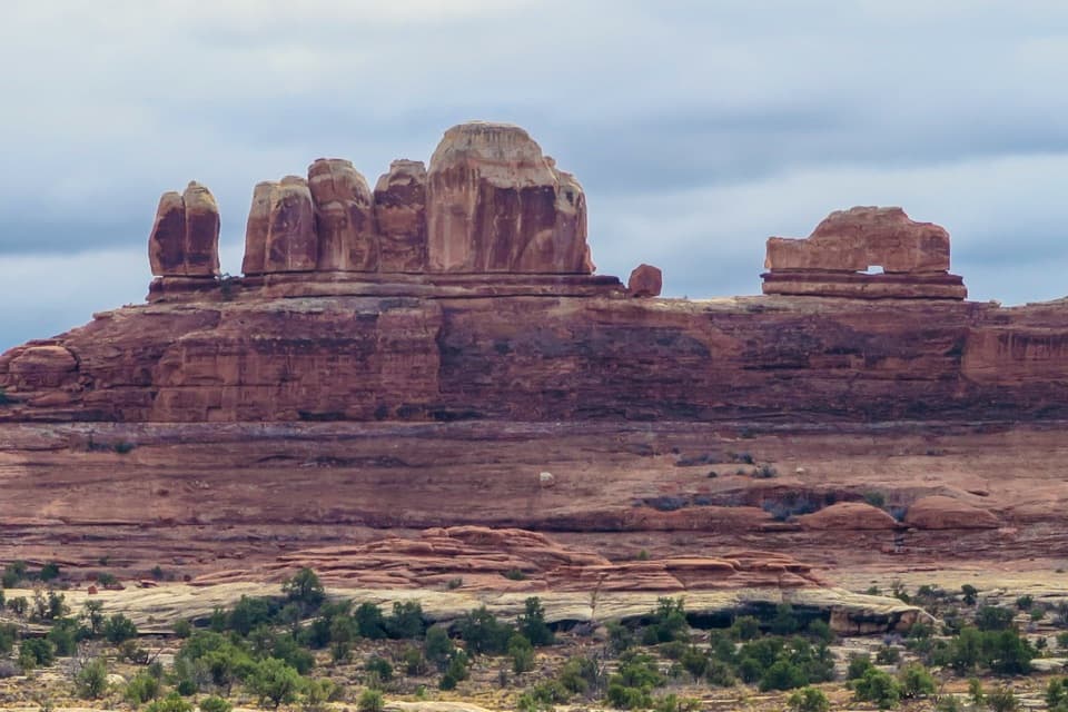 Sight · 1.9 mi awayWooden Shoe Arch OverlookA quick stop for one unmistakable shoe-shaped arch.
 Sight · 2.5 mi awayStone StorehouseA quick loop to an ancient granary beneath a sandstone alcove.
 Visitor center · 2.6 mi awayThe Needles Visitor CenterGet ranger advice before choosing a Needles hike or 4WD road.
 Entrance station · 2.9 mi awayThe Needles Entrance StationBuy your park pass here before continuing into The Needles.
Parkwolf’s Canyonlands ranking

The audio tour guide for the drive, plus offline maps, trails, and wildlife heatmaps for when the signal drops.


