Parking
Start at the Cave Spring Trailhead in The Needles. Official parking capacity was not specified.
#9 of 63 trails in Canyonlands
Canyonlands National Park, UT
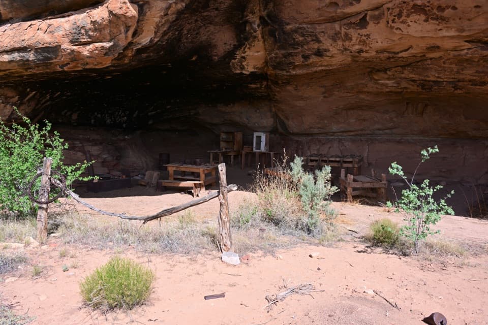
A short loop with a cowboy camp, spring alcove, and rock art.
Overview
Map & elevation
Plan your hike

The highest, rockiest slopes around here are a summer buffet for grizzly bears.
Canyonlands Tour Guide
Parkwolf is a GPS audio tour guide for Canyonlands National Park. As you drive, it chimes in with what’s ahead: hidden gems, upcoming stops, history, geology, and wildlife, right through your car’s speakers.
See the Canyonlands audio tourRecorded for this trailhead
Cave Spring and Cowboy Camp“You're coming up on Cave Spring Trailhead, for a walk to a cowboy camp and an alcove with painted figures and handprints. The six-tenths-of-a-mile loop takes about forty-five minutes, with two ladders and uneven rock.”
Plays as you drive up to this trailhead in the Parkwolf Canyonlands Tour Guide.
More stories near here in the app
“Fantastic app with many points of information… It’s great to just turn on while you’re driving and it gives you an audio tour of the national Park. We love it!!!!”


Trail guide
Cave Spring is a 0.6-mile interpretive loop from the Cave Spring Trailhead in The Needles. Allow about 45 minutes for the circuit to a historic cowboy camp and a spring alcove with prehistoric rock markings. Two ladders and uneven stone make this more than a level stroll, even though the route is easy by distance and elevation. Choose it for the camp and cultural history; skip it if ladders or rough footing are a problem. It is not wheelchair-accessible.
The walk crosses a rocky hill and stone steps, then follows bare slickrock marked with cairns and signs. Both ladders are required to finish the loop. After the ladders, look for cairns across open rock instead of following informal tracks. Stay on the established line or bare rock: shallow soil pockets hold living biological crust that can take years to grow and leave footprints for decades.
Cattlemen used isolated camps like this one from the late 1800s until ranching ended inside the park in 1975. They established this camp by a reliable spring. Original camp items remain beneath the sandstone overhang; view them from outside, and do not enter, touch, or remove anything. Water seeping through porous sandstone slowly erodes alcoves in the rock.
Beyond the camp, the spring alcove has soot-darkened ceilings, handprints, and painted figures. The spring drew ancestral Native people long before cattlemen arrived; the park places their occupation of these canyons roughly 6,000 to 700 years ago. Descendants consider the spring sacred. Stay outside the spring alcove and do not touch the rock markings or climb on archaeological features.
Dogs are not allowed; service animals are permitted. The route is rough and uneven and includes a rocky hill and stone steps. Winter can bring snow or ice, when traction devices are recommended. Start at the Cave Spring Trailhead; the official parking capacity was not specified.
Wildlife
 48 sightingsBighorn SheepMost seen around 7 AMSighting map
 47 sightingsMule DeerMost seen around 7 AMSighting map
 12 sightingsCoyoteMost seen around 7 PMSighting map
 30 sightingsWestern RattlesnakeMost seen around 7 PMSighting map
 18 sightingsTurkey VultureMost seen around 11 AMSighting map
 18 sightingsWild TurkeyMost seen around 7 AMSighting map
Sighting maps show where each species has been reported across Canyonlands. Wildlife moves, so no sighting is guaranteed.
Keep exploring
 ChallengingAngel Arch Trail27.5 mi · 20 hr · 0.6 mi awayMolar Rock and a giant arch reward a hard canyon walk.
 ModerateHorse Canyon Road Walk to Paul Bunyan’s Potty6.8 mi · 4 hr · 0.6 mi awayA sandy road walk to a sandstone arch in a canyon.
 EasyStone Storehouse Trail0.3 mi · 20 min · 0.7 mi awayA short loop to an Indigenous storehouse beneath a sandstone alcove.
 ChallengingAmerican Discovery Trail (Canyonlands Passage)19.8 mi · 10 hr · 2.3 mi awayA remote, one-way 19.8-mile road walk through The Needles.
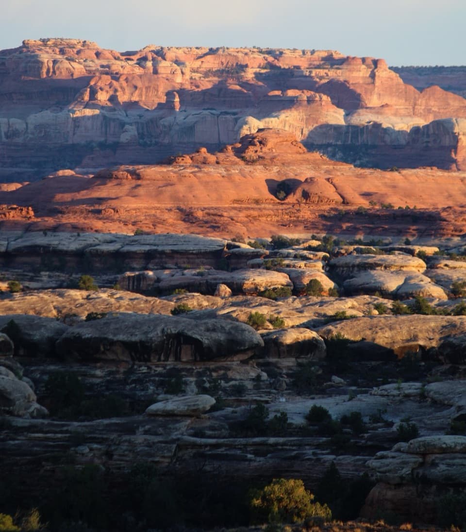 ChallengingWooden Shoe Canyon to Lost Canyon Loop Trail8.7 mi · 5.5 hr · 3 mi awayTwo canyon floors, slickrock climbs, and one ladder in a rugged loop.
 ChallengingPeekaboo Trail10.8 mi · 6 hr · 3 mi awayTwo ladders and high slickrock make this a serious Needles day hike.
 ModerateBig Spring to Wooden Shoe Canyon Loop Trail7.5 mi · 3.5 hr · 3 mi awayTwo canyons, one high saddle, and a rougher route between them.
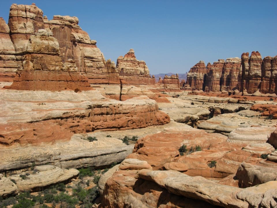 ChallengingBig Spring Canyon to Elephant Canyon Loop Trail10.5 mi · 5 hr · 3 mi awayTwo ladders cross a slickrock pass between Big Spring and Elephant.Sight · 0.1 mi awayCave Spring and Cowboy CampSpring, cowboy camp and rock art all fit in a 45-minute loop.Sight · 0.7 mi awayStone StorehouseA quick loop to an ancient granary beneath a sandstone alcove.
 Entrance station · 0.8 mi awayThe Needles Entrance StationBuy your park pass here before continuing into The Needles.
 Visitor center · 0.9 mi awayThe Needles Visitor CenterGet ranger advice before choosing a Needles hike or 4WD road.
 Campground · 1.3 mi awayNeedles OutpostA handy, rustic base just outside the Needles District.
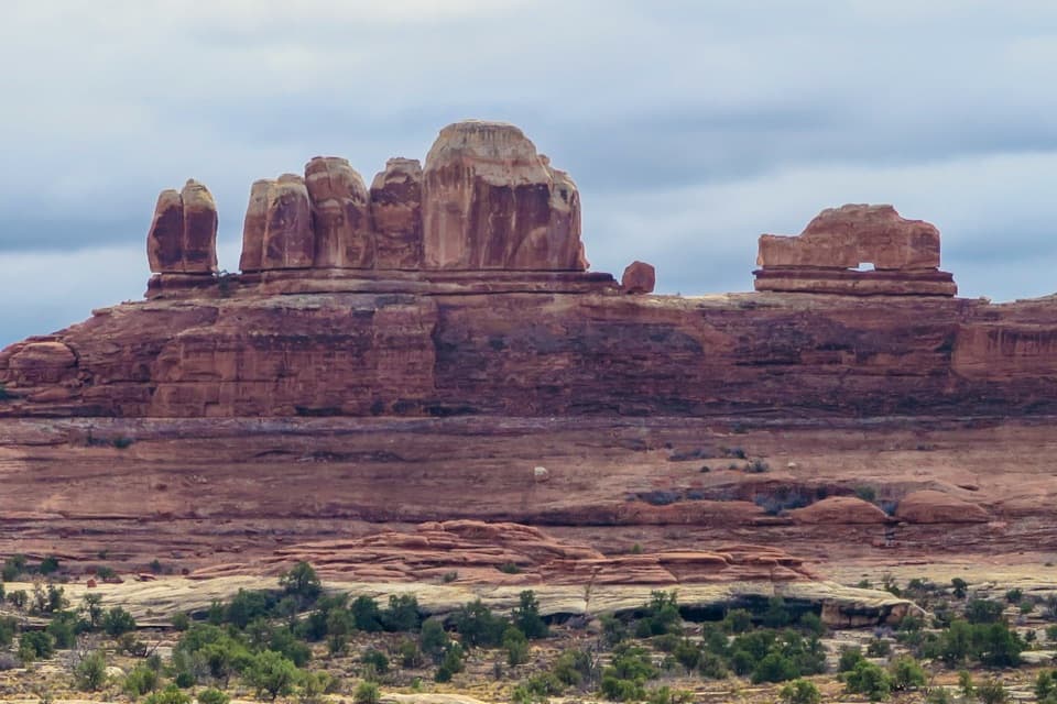 Sight · 1.7 mi awayWooden Shoe Arch OverlookA quick stop for one unmistakable shoe-shaped arch.
 Campground · 2.8 mi awayThe Needles CampgroundCamp among sandstone spires, with Needles hikes close at hand.
 Campground · 2.9 mi awayPeekaboo CampA remote two-site camp near rock art, for experienced 4WD drivers.
Parkwolf’s Canyonlands ranking

The audio tour guide for the drive, plus offline maps, trails, and wildlife heatmaps for when the signal drops.




